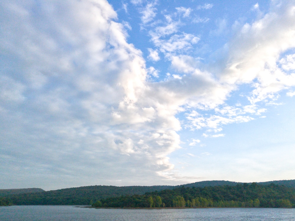
Altostratus clouds are mid-level, featureless clouds that indicate fair weather.
These clouds cast over the entire sky, but aren’t thick enough to completely block out the sun. They’re usually white, but some may be very light gray or have a bluish hue. Altocumulus clouds are almost always flat and don’t have any special features.
What Are Altostratus Clouds?
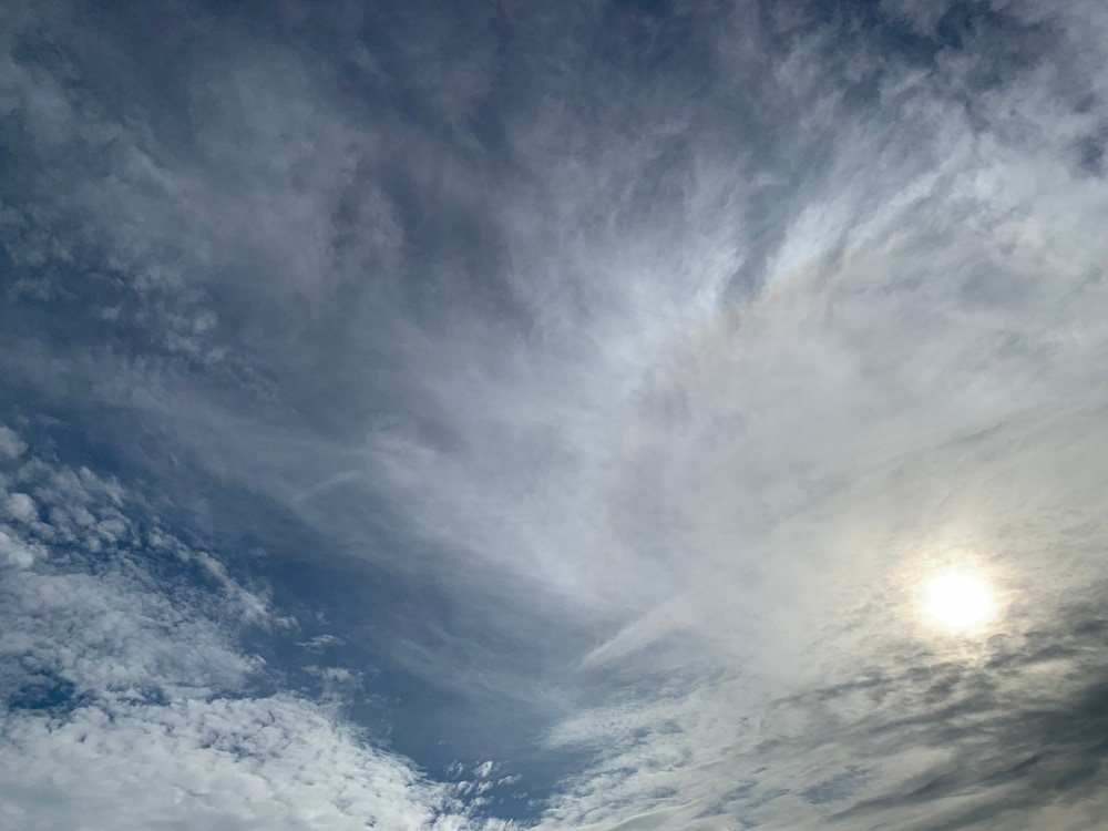
Altostratus clouds are mid-level clouds that cover the sky like a white, featureless blanket.
Special cloud phenomena can occur with these clouds. However, they don’t have any specific varieties. Most cloud types have species, such as altocumulus or stratocumulus. Altostratus clouds are one of the only main cloud types without any species.
Altostratus clouds form in layers. These layers don’t get very dense, which allows sunlight to still shine through them.
When altostratus clouds cover the sky, you can still see the outline of the sun or moon. It gives them a hazy appearance.
Some parts of an altostratus cloud blanket can be thicker than others. A combination of liquid water droplets and ice crystals are found inside this cloud type.
The upper half of an altostratus cloud mostly consists of ice crystals. Water droplets or supercooled droplets make up the lower portion of the clouds.
Ice crystals, snowflakes, and water droplets make up the middle layer of an altostratus cloud.
What Do Altostratus Clouds Look Like?
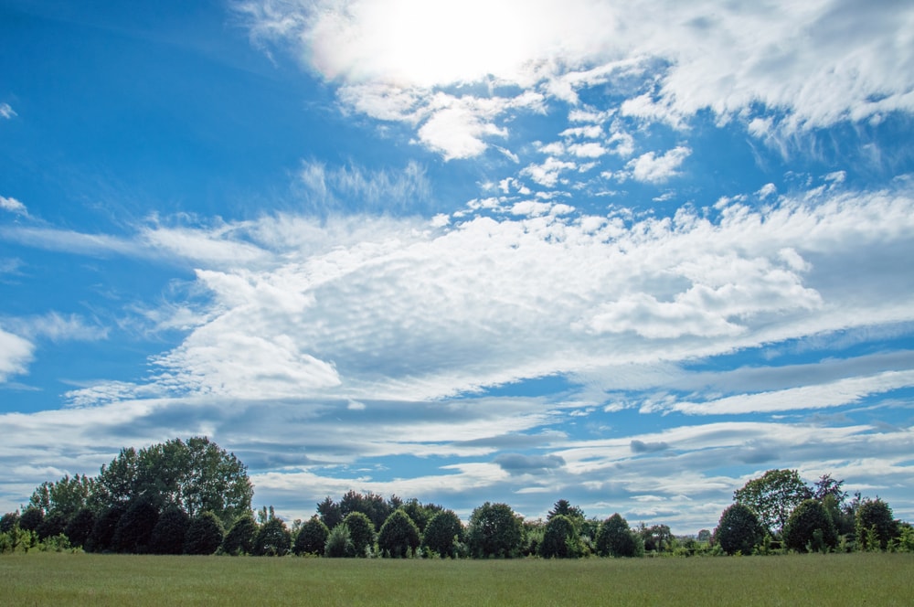
Altostratus clouds are featureless. They don’t have any special shapes. They appear white or have a bluish hue. These clouds can create a hazy effect from sunlight that seeps through the thinner areas of the cloud.
The thickness of altostratus clouds depends on how far apart the ice or water particles are within the cloud.
Areas where the particles are more widely dispersed allow sunlight to shine through. Areas of the cloud where the particles are more condensed are thicker.
Altostratus clouds look like a blanket covering the sky. These clouds can cover thousands of square miles.
Sometimes wispy tails can be seen falling from the base of altostratus clouds. This wispy appearance is caused by virga.
Virga is a phenomenon that occurs when precipitation falls from a cloud, but doesn’t reach the ground. Although precipitation isn’t associated with altostratus clouds, virga can occur.
How Do Altostratus Clouds Form?
One of the most common ways altostratus clouds form is from descending cirrostratus clouds. Cirrostratus clouds are categorized as high-level clouds. They occur at 20,000 ft (6,096.0 m) and higher.
Cirrostratus clouds have some similar characteristics to altostratus clouds. They cover large areas of the sky, but they’re more transparent than altostratus. Cirrostratus can become altostratus when they sink to the mid-troposphere.
Altostratus clouds can also form as a result of approaching warm or occluded fronts.
A warm front occurs when warm air encounters a cooler air mass. The warm air rises above the cool air. This process creates different types of clouds.
Altostratus clouds can also be an early sign of rain cloud formation. When altostratus clouds can turn into nimbostratus clouds when they lower and become more thick.
An occluded front occurs as a result of a warm front passing and cold front approaching. When the cooler air mass from a cold front comes in, it can push the warm air out. The warm air that was present prior to the cold front rises.
When large amounts of warm air rise, it creates water vapor. When water vapor begins to condense, it results in condensation. Water droplets and supercooled water droplets form as a result of condensation, which creates clouds.
You May Also Like: Cirrocumulus Clouds: What Are They And How Do They Form?
Where Do Altostratus Clouds Form?
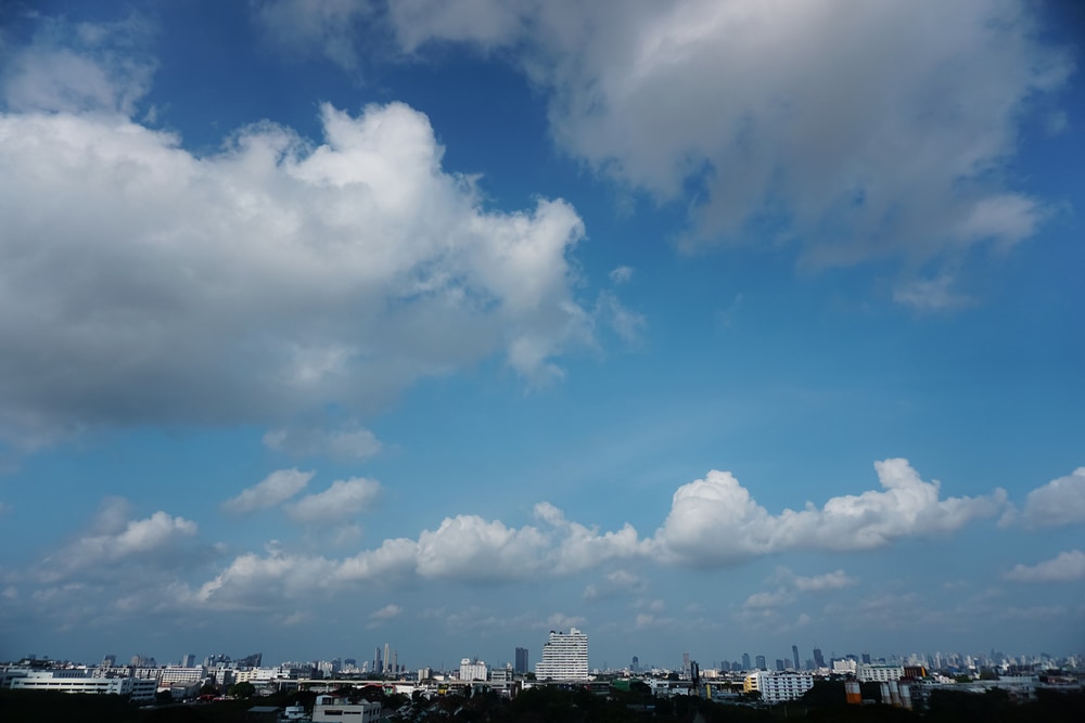
Altostratus clouds are mid-level clouds. They form between 6,500 (1,981 m) and 20,000 ft (6,096.0 m). Altostratus clouds can extend upward for thousands of feet because they’re made of multiple layers.
Some altostratus clouds may have a minimum thickness of 3,000 ft (914.4 m). Thicker altostratus clouds can be more than 16,500 ft (5,029.2 m).
The base of an altostratus cloud is closer to 6,500 ft (1,981 m). The height at which altostratus clouds occur can be dependent on the region.
In temperate regions, they commonly occur in the mid-level of the troposphere. They can also extend above the mid-level to about 23,000 ft (7,010.4 m).
In tropical regions, the top of altostratus clouds can reach up to 25,000 ft (7,620.0 m).
Altostratus clouds form in the lower half of the middle troposphere level in polar regions. The base of the cloud usually forms around 6,500 ft (1,981 m) and the top half reaches about 13,000 ft (3,962.4 m) in this region.
Altostratus clouds aren’t very restricted to certain locations or regions. Since they can form as a result of rising warm air masses, they can occur almost anywhere.
Weather Associated With Altostratus Clouds

Altostratus clouds aren’t associated with any kind of precipitation.
They indicate that fair weather is in the forecast. They can cause mild overcast weather conditions.
Sometimes light precipitation or snowfall can come from dense altostratus clouds. But continuous precipitation or snowfall is associated with dark nimbostratus clouds. Precipitation may fall from altostratus clouds but not reach the ground, which is known as virga.
Altostratus can indicate rain or snowfall is coming. Altostratus clouds that become more dense can turn into nimbostratus clouds.
Altostratus Cloud Patterns
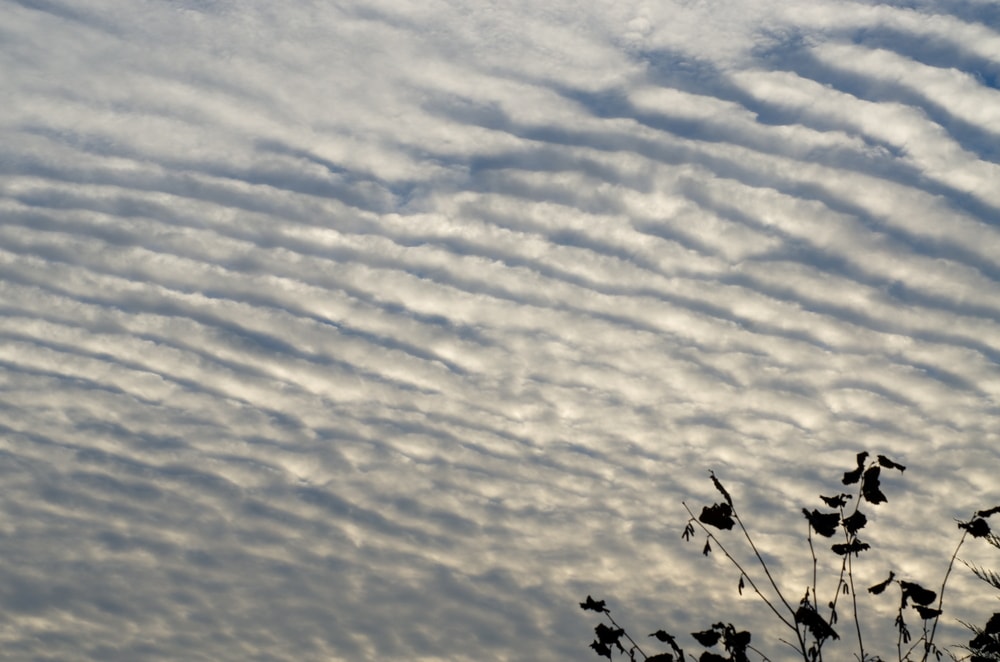
Altostratus clouds don’t have specific species, but they can have different patterns. Various cloud patterns that can form with altostratus clouds include:
- Undulatus
- Radiatus
- Duplicatus
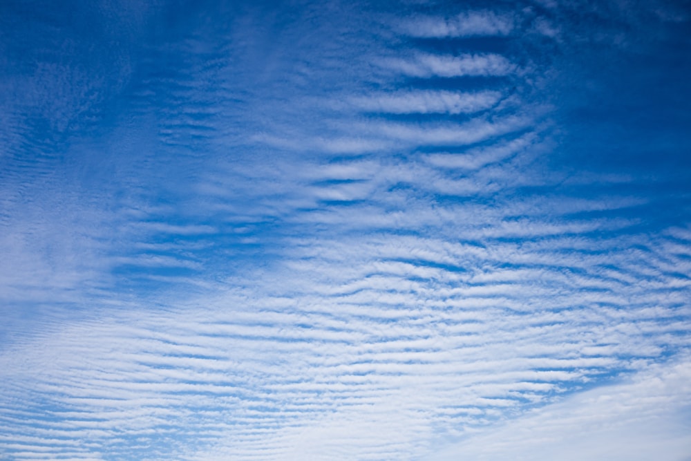
Undulatus is a cloud pattern that resembles waves or has a ripple-like effect. This pattern occurs when the air above and below altostratus clouds moves at different speeds or directions. The contradicting airstreams create these waves in the cloud.
The rippled appearance can cause these clouds to become confused with altocumulus clouds. These clouds form in rows of small ripples.
Radiatus creates a row pattern in clouds. Radiatus is also caused by air or wind directions. Radiatus forms parallel to wind directions.
Duplicatus is a cloud pattern that results in various layers or sheets of clouds that occur at different levels. The pattern can look different depending on the type of cloud.
In altostratus clouds, duplicatus results in light gray sheets of clouds that develop in layers. For comparison, cirrus duplicatus appears as wispy streaks coming from cloud patches.
You May Also Like: Cumulonimbus Clouds: The Sky’s Severe Weather Billboard
Difference Between Altostratus and Cirrostratus Clouds
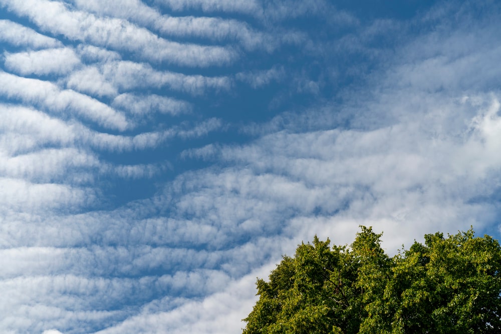
Altostratus and cirrostratus clouds share some similarities, but there are some key differences. Cirrostratus and altostratus clouds both cover a large amount of the sky when present. However, cirrostratus doesn’t block out as much sunlight.
Cirrostratus clouds are lighter and more wispy than altostratus. A cloud phenomenon called haloes can form from cirrostratus clouds.
Haloes occur from the ice crystals within a cirrostratus cloud. Sunlight reflects off the ice crystals and creates a halo-like appearance around the sun.
Haloes are more likely to occur with this cloud because it’s mostly made of ice crystals. Altostratus clouds are unable to create halos.
Another big difference between these clouds is the height. Cirrostratus are high-level clouds, while altostratus are mid-level clouds. This is why cirrostratus clouds are mostly composed of ice crystals and altostratus are composed of ice crystals and water droplets.
Chances of overcast conditions are higher with altostratus clouds. Although not as dense as nimbostratus clouds, altostratus clouds are thicker than cirrostratus.
Difference between Altostratus and Nimbostratus Clouds
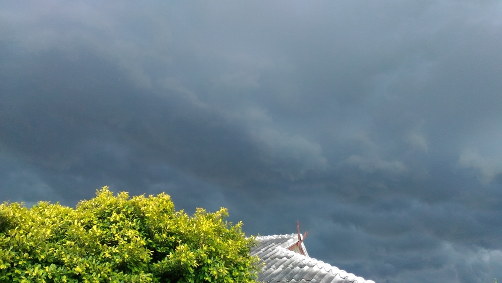
Nimbostratus and altostratus clouds are likely to be confused when altostratus clouds aren’t completely white. Nimbostratus clouds are also featureless clouds that cover the entire sky like a blanket. However, these clouds are light to dark gray.
Nimbostratus clouds are more dense than altostratus, giving them a darker appearance.
Both of these cloud types develop horizontally and have layers. Nimbostratus are low-level clouds that develop below 6,500 ft. However, the top of nimbostratus clouds can enter the middle level of the troposphere. They can also form higher in specific regions.
If altostratus clouds begin to create steady precipitation that reaches the ground, they’re considered nimbostratus clouds.
Nimbostratus indicates continuous rain or snowfall. These clouds are responsible for gray, rainy days.
You May Also Like: Lenticular Clouds: Why Are They Shaped Like UFOs?
Altostratus FAQs

How many cloud types are there?
There are four core types of clouds, including cirro-form, cumulo-form, strato-form, and nimbo-form. Within these categories, there are 10 main cloud types.
Most clouds have species that have varying appearances and other characteristics. Altostratus and nimbostratus are the two main cloud types that don’t have any species.
Can you fly in altostratus clouds?
Airplanes may encounter altostratus clouds at higher altitudes when flying longer distances. Although flying through these clouds isn’t as dangerous as cumulonimbus clouds, it can still produce some turbulence.
Icing can also occur. Icing can affect various functions and parts of a plane while in flight. Built up ice can increase the weight of a plane and cause it to lose altitude. It can also cause the plane to lose airspeed.
Although these effects sound dangerous, the level of ice intensity matters. Small amounts of ice don’t create very hazardous conditions.
What are the other mid-level cloud types?
Altocumulus is the other type of mid-level cloud that occurs between 6,500-20,000 ft.
Altocumulus clouds look like tiny white cotton balls in the sky called cloudlets. These clouds can form by moist air rising and being cooled or the breaking up of altostratus clouds.
You may also like:

Cumulonimbus Clouds | Lenticular Clouds | Virga Clouds | Cirrocumulus Clouds | Nimbostratus Clouds |


