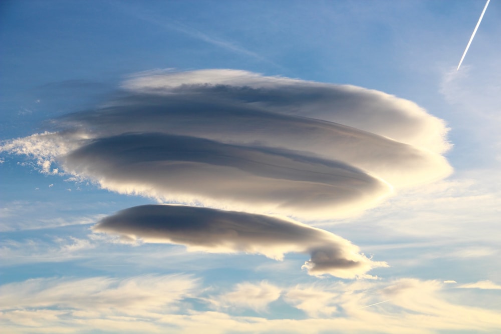
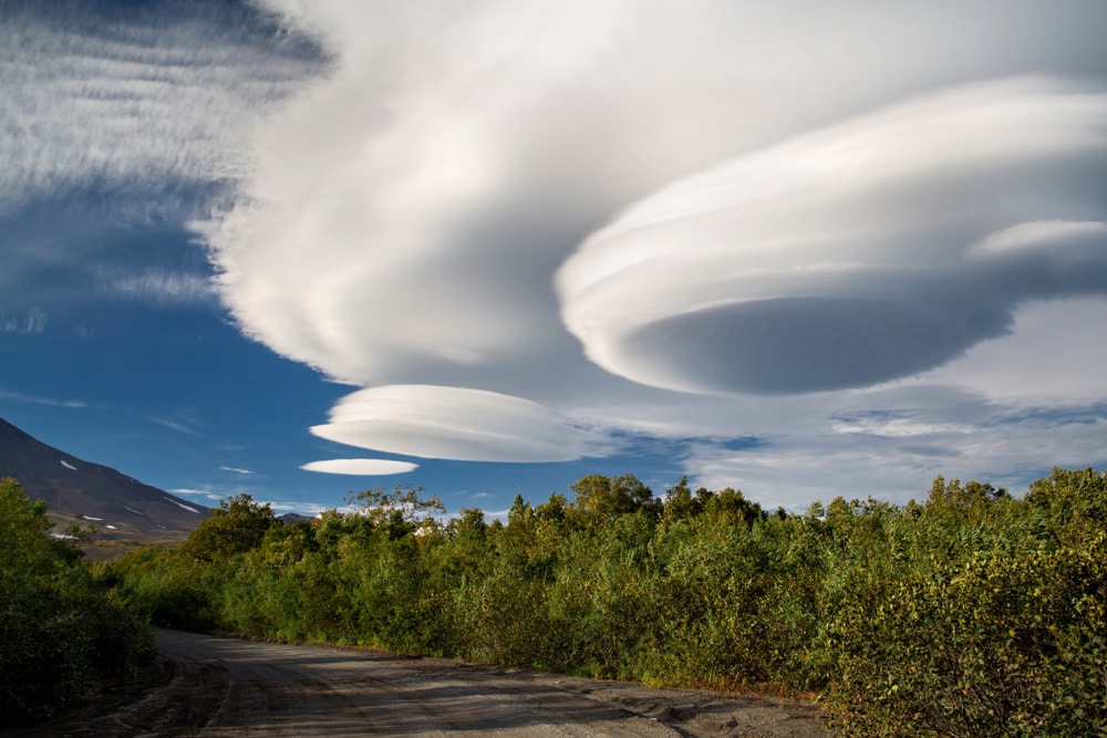
Lenticular clouds are one of the rarest types of clouds that form in our atmosphere. These clouds have a unique disk-like shape, making them look like flying saucers. They’re formed by special airwaves moving against natural obstacles.
Continue reading to learn more about cool lenticular clouds, how they form, and where to spot them!
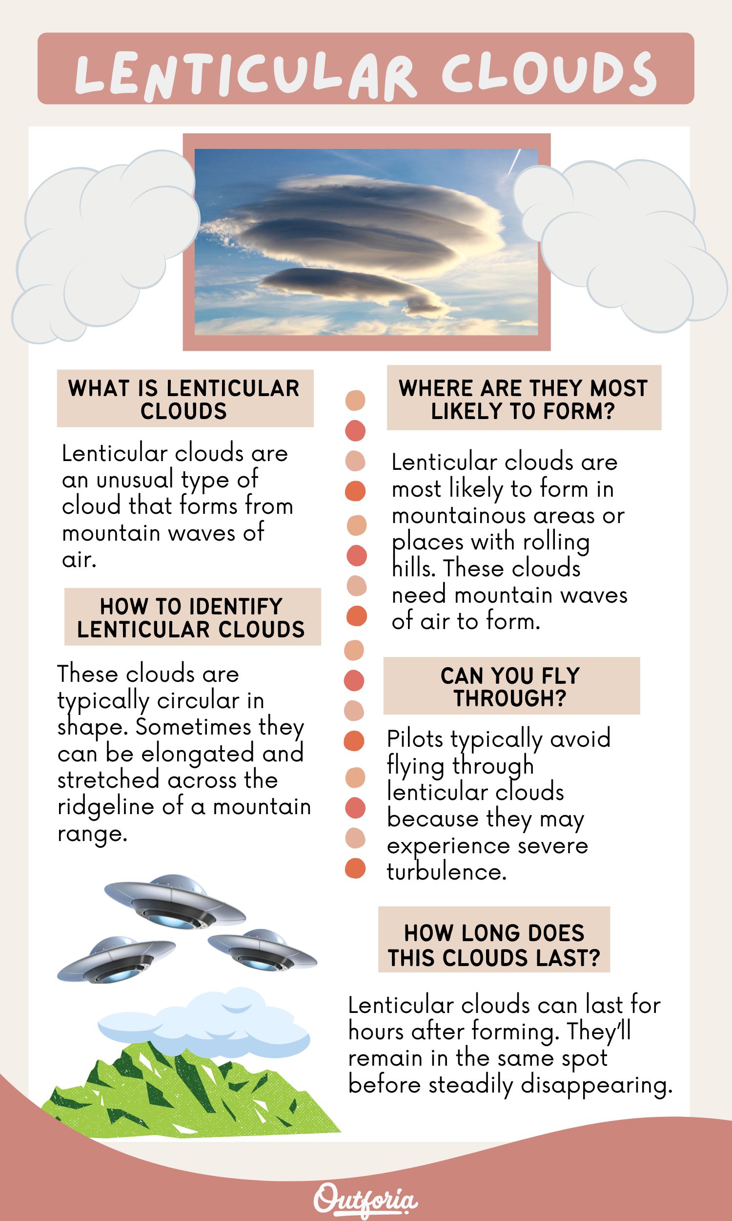
Share This Image On Your Site
You May Also Like: 19 Incredible Types Of Storms
What are Lenticular Clouds?
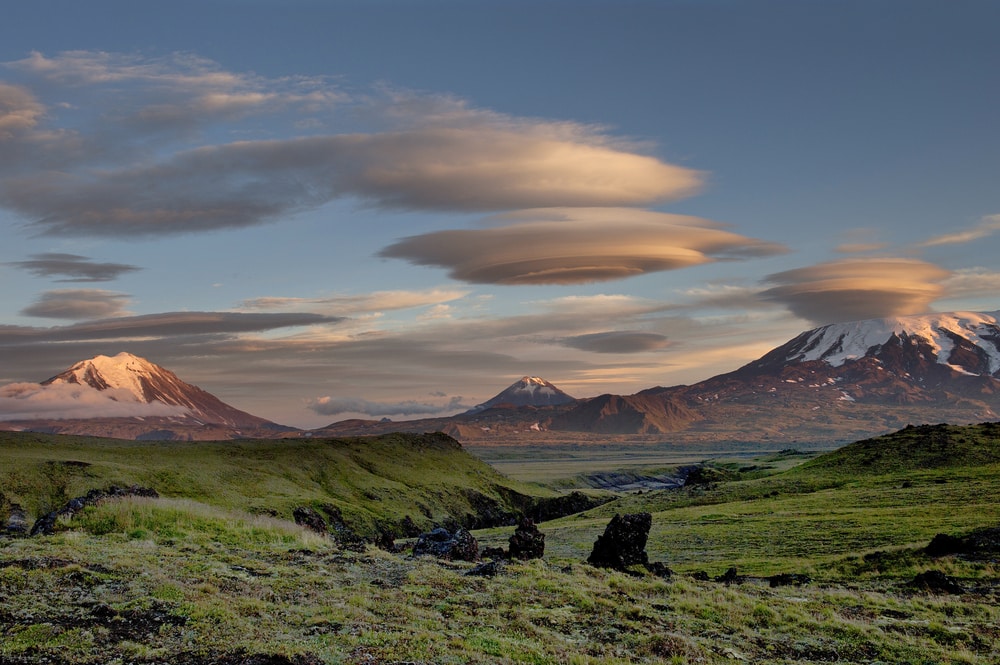
Lenticular clouds are an unusual type of cloud that forms from mountain waves of air. Wind travels up the windward side of a mountain and back down the leeward side. This creates a wave-like pattern in the air.
We don’t usually notice this event because we can’t see the air. But when the air forms liquid water droplets and creates a cloud, we can see this fascinating cloud formation.
The ripple effect of the air moving up and down creates a stationary lenticular cloud. The way it’s formed gives it a special disk-like shape. Lenticular clouds are often described as looking like flying saucers floating above mountains or hills.
The name of lenticular clouds comes from the Latin word lenticularis. This translates to lentil-shaped. The phrase later transformed into the English word lenticular, meaning lens-shaped.
Where Are Lenticular Clouds Most Likely to Form?
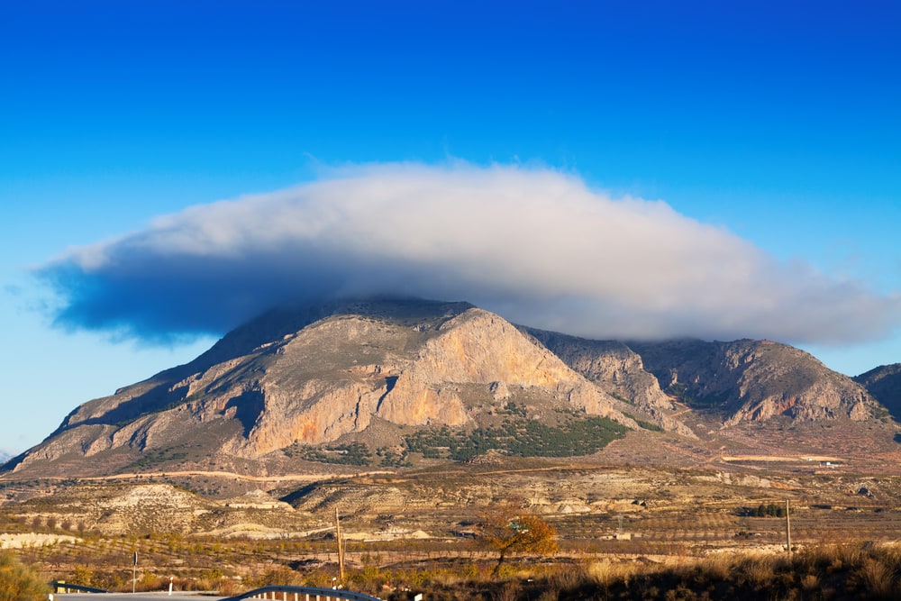
Lenticular clouds are most likely to form in mountainous areas or places with rolling hills. These clouds need mountain waves of air to form.
Mountains serve as an obstacle to air. When mountains or hills are present, these mountain waves can occur. As a result, lenticular clouds appear most in mountainous or hilly areas.
Since mountain peaks are at higher altitudes, it allows air to become colder. Cold air turns into liquid water after a certain point. As a result, mountain peaks and really tall hills create perfect conditions for lenticular clouds to form.
A common place to find lenticular clouds in the U.S. is in Colorado. The Rocky Mountains provide ideal weather conditions for lenticular clouds to form. The Front Range section of the mountains is a common spot for these clouds to appear.
Mount Rainier, the tallest mountain in Washington, is also known to have frequent lenticular clouds hovering above it.
How to Identify Lenticular Clouds
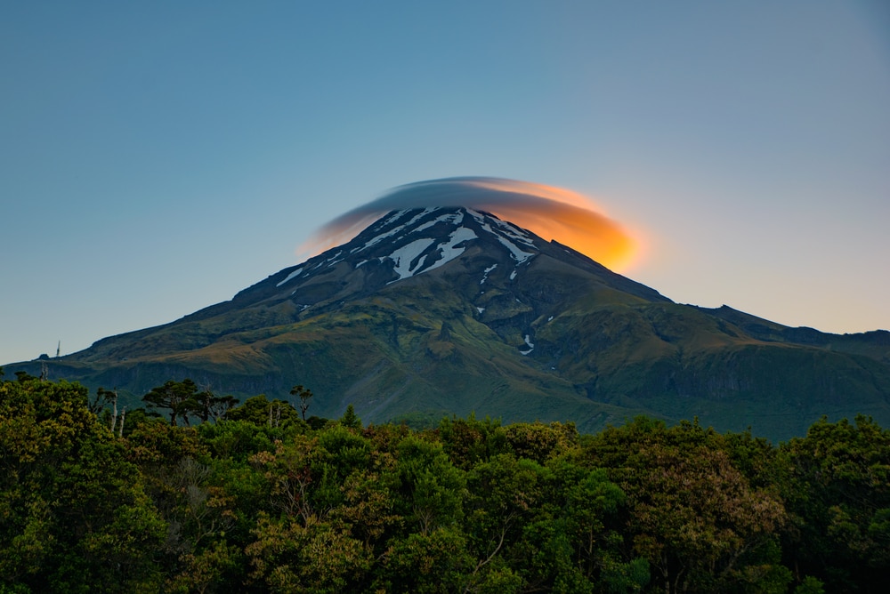
Lenticular clouds can be identified by first visiting the area where they form. If you’re near a mountain or hills, you might be able to spot lenticular clouds.
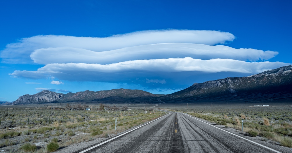
These clouds are typically circular in shape. Sometimes they can be elongated and stretched across the ridgeline of a mountain range. If just one mountain is in the area, it might be easier to witness.
When looking for lenticular clouds, you’ll want to find a disk-shaped cloud that’s hovering over a large hill, mountain, or sometimes a building. Lenticular clouds can come in different shapes and sizes, but they’re usually shaped like a plate.
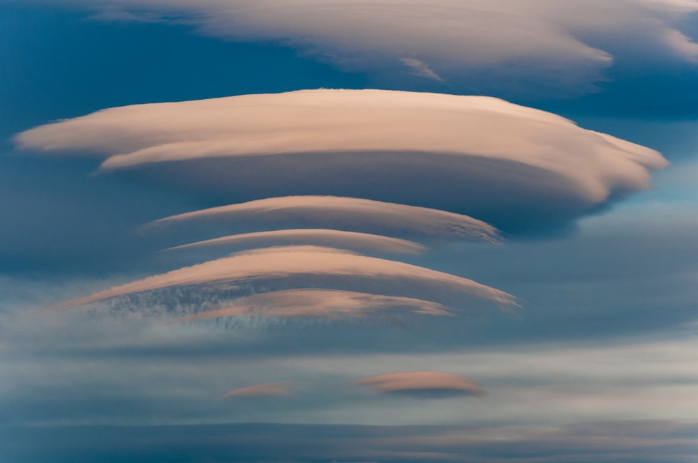
Lenticular clouds can form at various altitudes. Sometimes they stack on top of each other. If you see a stack of flat clouds over a mountain, you’ve probably found lenticular clouds.
Some lenticular clouds may look like flying saucers with elongated ends on each side. The flying saucer part of the cloud would be hovering over the ridge or peak of a mountain.
Types of Lenticular Clouds
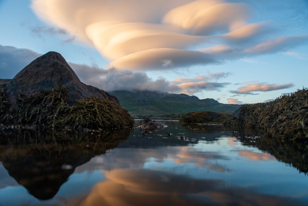
There are three different types of lenticular clouds. These clouds include:
- Stratocumulus standing lenticular (SCSL)
- Altocumulus standing lenticular (ACSL)
- Cirrocumulus standing lenticular (CCSL)
The type of lenticular cloud depends on its altitude. Stratocumulus, altocumulus, and cirrocumulus are actually three of the 10 main types of clouds. The names of these clouds suggest where they’re located in the atmosphere.
Stratocumulus standing lenticular is the lowest-level lenticular cloud. Also referred to as stratocumulus lenticularis, these clouds are the rarest type of stratocumulus cloud.
Altocumulus standing lenticular clouds are located in the middle of the levels of clouds. Cirrocumulus standing lenticular clouds are at the highest level, ranging from 20,000 to 40,000 ft (6,100-12,200 m) above the Earth’s surface.
How Do Lenticular Clouds Form?
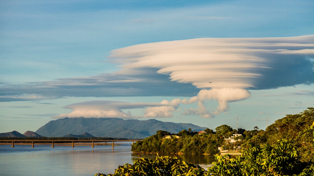
Lenticular clouds form by airwave movements or wind when it runs into large obstacles. The obstacles are usually mountains or hills, but buildings can cause lenticular clouds.
Winds are pushed up against mountains or hills as it runs into them. The air gets cooler as it rises.
When water vapor (air) gets cooler and surpasses its dew point, it becomes liquid water droplets. Ice crystals can form at higher altitudes where temperatures are especially cold. Liquid water droplets and ice crystals can create clouds in the sky.
The part that separates lenticular clouds from normal clouds you see is what happens next. At high points on hills or mountains, there’s a stable layer of warmer air above a level of cool air. This causes clouds to form an odd, saucer-like shape.
Once the air flows past the obstacle, it flows back down. The liquid water droplets begin to evaporate as it goes through a process called compressional warming. This means that the temperature rises with increased pressure on air as it descends.
The rising and falling movements of air form a rippled pattern. It’s similar to a stream with water running over rocks, creating tiny ripples as it passes over obstacles. The same happens with wind and mountains, hills, or tall buildings.
We’re able to see this action because the air gets cold enough to turn into water droplets or ice crystals, creating clouds. If clouds didn’t form, we wouldn’t be able to witness this phenomenon.
What Are the Effects of Lenticular Clouds?
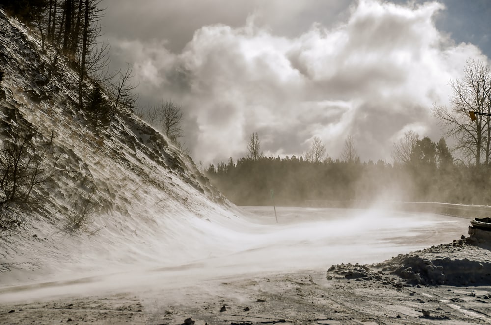
Besides creating really cool scenery, lenticular clouds can cause gusty winds. But it’s even a little more unusual than that. It can cause very strong winds in one area, but air can be completely still in another area just hundreds of feet away.
Do Lenticular Clouds Produce Rain?
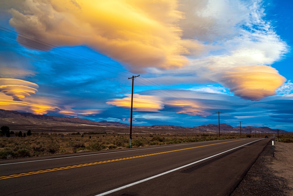
Lenticular clouds do not produce any type of precipitation like cumulus clouds. However, they can be natural weather forecasters.
An increased amount of moisture at high levels helps form lenticular clouds. These clouds can sometimes signal that rain will be in the forecast soon. It could also indicate an incoming snowstorm depending on the time of year and location.
How Long Do Lenticular Clouds Last?
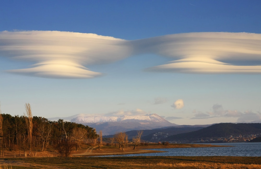
Lenticular clouds can last for hours after forming. They’ll remain in the same spot before steadily disappearing. For example, this timelapse of lenticular clouds hovering above the Flagstaff mountains in Arizona lasted for several hours.
Clouds can have shorter or longer lifespans depending on the type of cloud it is. Some clouds can last up to 4 hours, while others can last much longer. Since lenticular clouds are stationary due to the surrounding conditions, they have the ability to last longer. They don’t get pushed away by winds.
The unique airflow that a mountain creates when wind encounters it helps stabilize the air at the peak of a mountain. This allows lenticular clouds to last for several hours before dissipating.
You May Also Like: What Causes Tides?
Can You Fly Through Lenticular Clouds?

Pilots typically avoid flying through lenticular clouds because they may experience severe turbulence.
A pilot with extensive experience in the field may be able to fly through these clouds without serious issues. They might be able to navigate where the air rises to safely travel through. However, it can be risky because of the constant up-and-down movement of the air.
Fun Facts
Lenticular Clouds Are Mistaken for UFOs
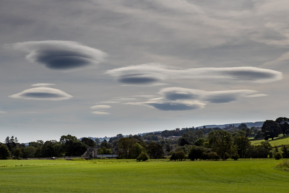
It’s believed that lenticular clouds are one of the causes of alleged UFO sightings. These clouds could be mistaken for flying saucers because of their shape.
Suppose lenticular clouds formed over a mountain in the evening or at night. In that case, it could easily be mistaken for a UFO.
Clouds Are Heavy
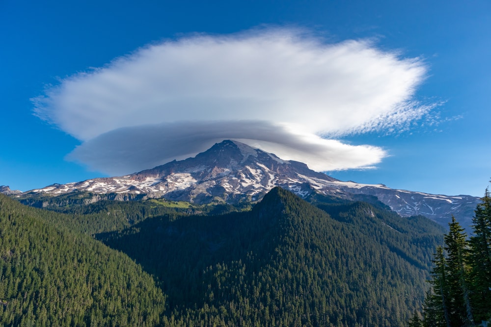
Various types of clouds can hold different amounts of water. A cumulus cloud can weigh as much as 1.1 million pounds. But because clouds are less dense than the air sitting below, clouds are able to float.
More Than Half of the Earth’s Surface is Covered By Clouds
Using satellite observations and photographs from space, experts estimate that 67% of the Earth’s surface is consistently covered by clouds. Most cloud coverage occurs over the ocean. Less than half of the skies over land are free of clouds on a consistent basis.
The Highest Clouds Are Made of Ice Crystals
As you travel higher up into the atmosphere, it gets colder. This means that clouds floating really high in the air are mostly made of ice crystals. These high clouds include cirrus, cirrostratus, and cirrocumulus clouds.
You May Also Like: Types Of Landforms: From The Top Of The Globe To The Depths Of The Sea
Lenticular FAQs
How many cloud types are there?
There are more than 10 different types of clouds. However, cloud types are separated into 10 main categories. Other types of clouds usually fall under one of these categories and are considered unusual or rare.
Can you touch clouds?
Clouds are made of really small water droplets, so we can’t feel them. We can touch clouds, though, often unknowingly. If you’ve ever been walking through fog, you’ve walked through a low-hanging cloud before.
What does a cloud smell like?
If you’ve heard someone say they can tell rain is coming by the smell outside, there’s a reason for it. Storm clouds can produce a smell due to lightning strikes inside them.
Lightning inside a cloud creates ozone, which is a naturally occurring gas. Ozone is the scent of what people smell when it’s about to rain or just after a fresh rain.
Is it possible to create a cloud indoors?
Yes, it’s possible to create clouds indoors. Conditions in the room must be just right. Moisture is needed in the air, and the room needs to be cold. A Dutch artist named Berndnaut Smilde creates unique artwork by creating clouds indoors.
Can a cloud touch the ground?
Clouds can touch the ground. Types of clouds can be categorized by how high or low they are from the Earth’s surface. Fog is one type of cloud that’s capable of touching the ground.


