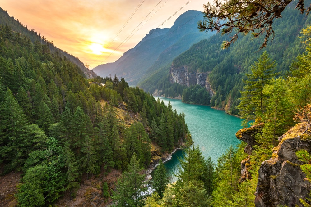
Washington is a beautiful state located along the West Coast of the United States. It belongs to the Pacific Northwest, and part of the Rocky Mountains extends up through its boundaries. Some of the peaks and ranges within the state feature majestic mountains whose scenery and opportunity for outdoor recreation are not to be missed.
We’ve created a list of some of Washington state’s best, most popular, and culturally significant peaks. If you are trying to figure out which peaks to prioritize for your trip to Washington or are making a mountain bucket list to hit while living in Washington, this is the list for you!
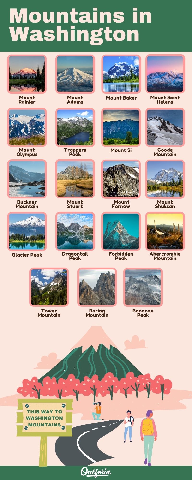
Share This Image On Your Site
<a href="https://outforia.com/mountains-in-washington/"><img style="width:100%;" src="https://outforia.com/wp-content/uploads/2022/02/Mountains-in-washington-infographics-02282022-1.jpg"></a><br>Mountains in Washington Infographic by <a href="https://outforia.com">Outforia</a>You May Also Like: These Are The Best Mountains In Virginia Perfect For Mountain Lovers with Photos, Infographics, Facts, and more!
The Most Significant and Popular Mountains in Washington
1. Mount Rainier
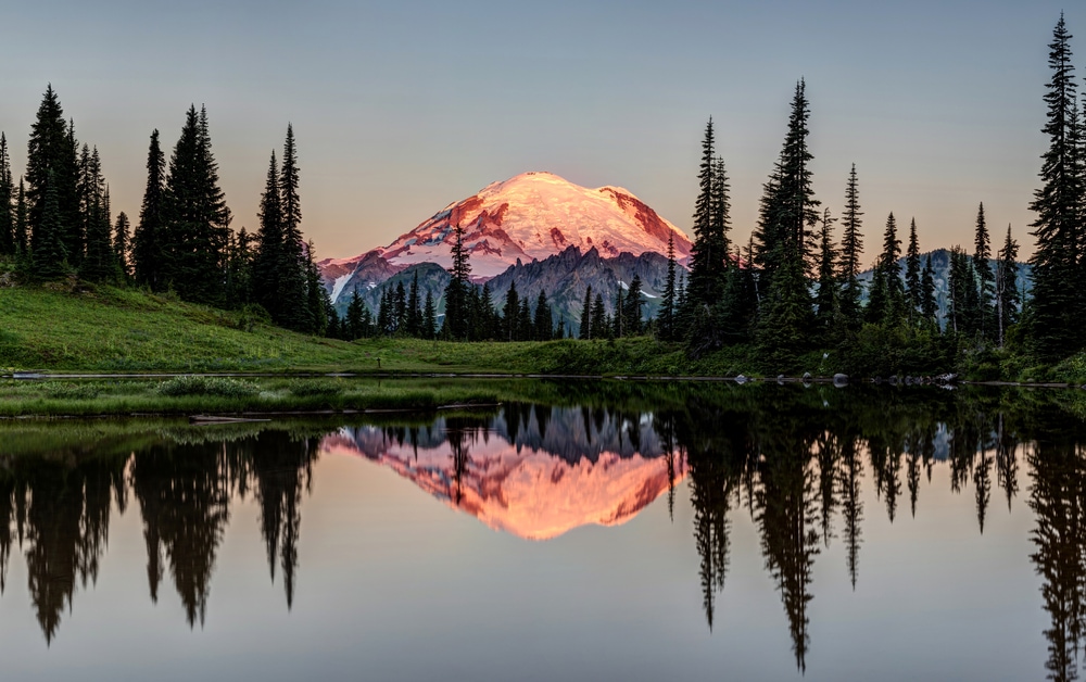
- Elevation: 14,411 feet (4,392 meters)
- GPS Coordinates: 46.8523° N, 121.7603° W
Mount Rainier isn’t just a mountain. It is actually an active stratovolcano. It last erupted in 1894 when the explosions from the summit could be seen from observers in Seattle, which lies about 60 miles (97 kilometers) southeast of the mountain. There are currently no predicted eruptions, which makes the people living in the area pay more attention to its beauty instead of its potential danger.
Mount Rainier is a mountain full of stunning hiking trails running up from its base. However, the trail that takes you to the top of the summit is quite challenging and dangerous. It requires a three-day trek to go from the bottom to the peak. As a result, only 8,000 climbers a year make it all the way to the top of Washington’s highest mountain.
This mountain lies in the Cascade Range within Washington. It is very popular for various activities like biking, snowboarding, fishing, camping, and horseback riding. Although it is considered one of the most dangerous volcanoes globally, it features some of the best outdoor experiences in Washington.
2. Mount Adams
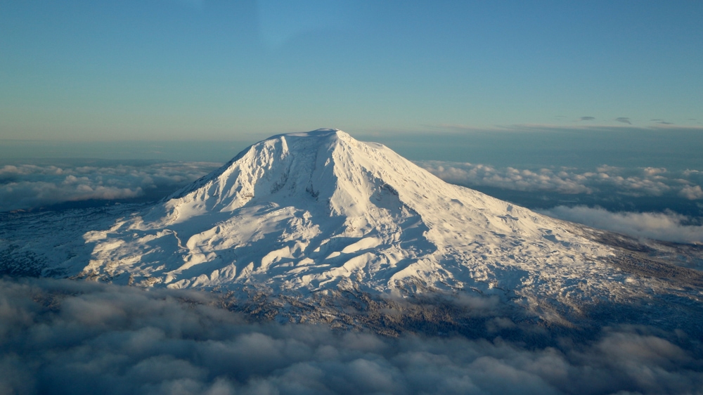
- Elevation: 12,281 feet (3,743 meters)
- GPS Coordinates: N 38 0’27”, E 105 36’17”
Mount Adams is a sister mountain to Mount St. Helens, number four on our list. It is another stratovolcano that has the potential to be active again sometime in the future. This mountain is another member of the Cascades Range in Washington. Although its peak height is shorter than Mount Rainier, it stands out from the crowd as it towers over the surrounding landscape.
Mount Adams is technically the second tallest peak in Washington. However, it still presents a challenge to climb as it takes some technical expertise. Furthermore, the need for technical skills may increase depending on the route you choose to climb. For example, taking on the South Climb requires you to use ice axes, microspikes, and trekking poles to reach the summit.
Like Mount Rainier, there are plenty of hikes you can do around the bottom half of the mountain. It is also a popular destination to ski, camp, raft, and view wildlife like the ever-popular mountain goats that live in the area.
3. Mount Baker
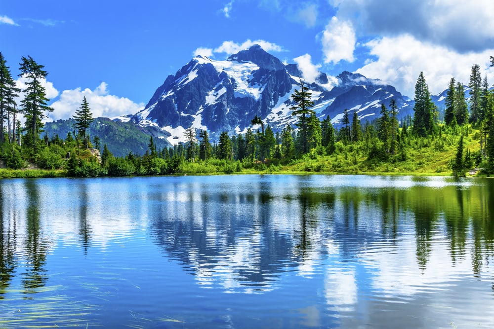
- Elevation: 10,786 feet (3,287 meters)
- GPS Coordinates: 48°46’38.43″ N -121°48’47.52″ W
Mount Baker is the mountain that defines the southern end of the Cascade Range. It is also one of the snowiest places on the range and is second-most heavily glaciated of the Cascade Range of volcanoes. In fact, this volcano has collected a volume of snow and ice that is greater than that of all the other Cascade mountains combined.
The year 1999 was a record-breaking year for the mountain, with the peak receiving an estimated 1,140 inches (2895 cm) of snowfall in one season alone. This amount of fresh powder makes this one of the best mountains in Washington to ski and snowboard, attracting thousands of winter enthusiasts from late November through April.
There is also a National Forest at the base of this mountain, the Mt. Baker-Snoqualmie National Forest. It is an excellent area to visit for hiking, camping, and fishing during the summer. The mountain and the forest area are about 50 miles (80 km) east of Bellingham in Washington if you are looking for a place to stay.
4. Mount Saint Helens
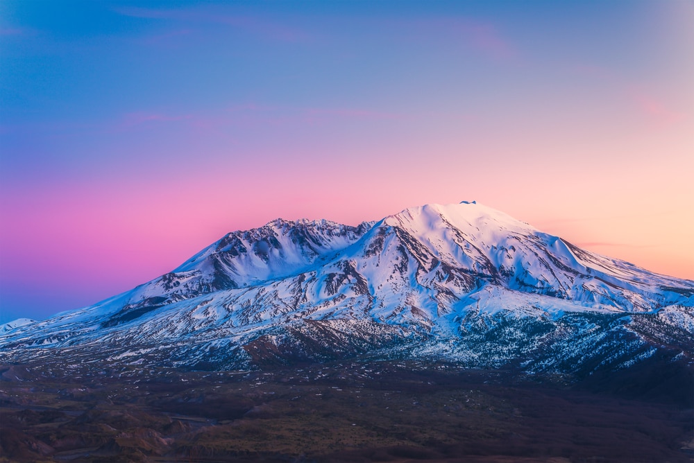
- Elevation: 8,363 feet (2,549 meters)
- GPS Coordinates: 46.1914° N, 122.1956° W
Mount St. Helens is one of the few stratovolcanoes in the Cascade mountain range that has somewhat recently exploded. This destructive explosion is now what it is best known for. It happened on May 18, 1980. It triggered the largest landslide that has ever been recorded during its deadly eruption.
Now, Mount St. Helens currently sits benignly in the distance of the Mount St. Helens Visitor Center. The center gives you an excellent opportunity to view the volcano and get a more comprehensive idea about the volcano’s eruption.
You can also hike up Mount St. Helens. This mountain is a little bit lower than some of its sister peaks in the area. That means it is still a challenge but doesn’t require any technical climbing skills. You will need a permit if you decide to hike it since part of the mountain is protected land.
5. Mount Olympus
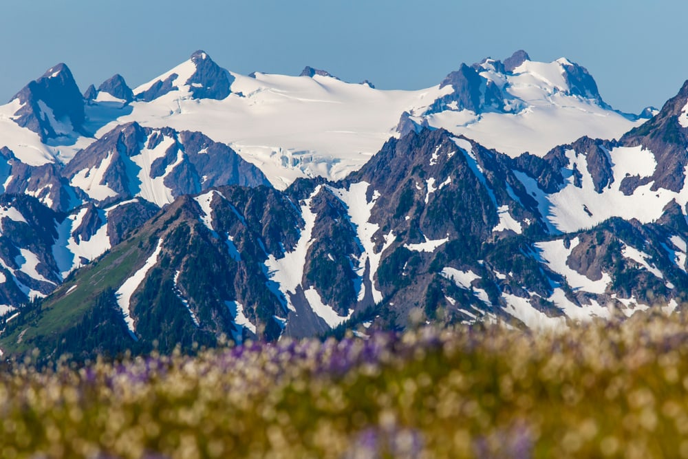
- Elevation: 7,963 feet (2,427 meters)
- GPS Coordinates: 47°48′05″ N 123°42′39″ W
Mount Olympus lies in the center of the Olympic Peninsula that juts out from the northeast corner of the state. It isn’t as defined as some of the previous mountains on the list, somewhat blending into the other mountain peaks in its range. However, it is still gorgeous to climb.
Since this mountain’s placement and unprotected face, bad weather makes it very dangerous to climb. So even though it is an excellent mountain for beginner hikers to start their hiking experience, don’t attempt it in poor weather conditions. Contact the local ranger service if you want to find out if there is a prediction of poor weather for later on in the day.
This mountain isn’t known for having too much snow, although you will encounter some as you get closer to the peak. However, there is a high risk of avalanches in the winter, so it isn’t suggested for winter activities like skiing and hiking.
6. Trappers Peak
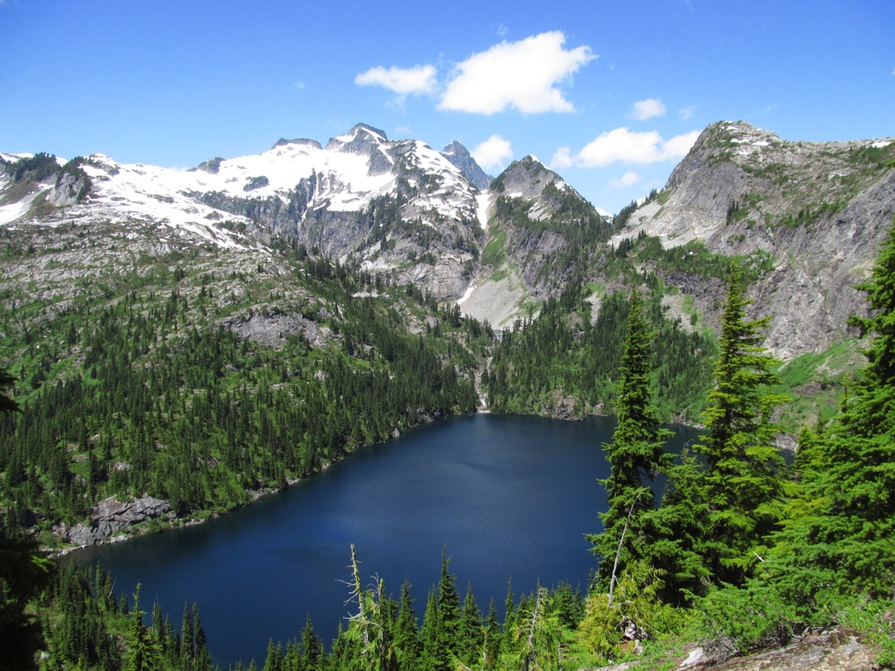
- Elevation: 5,970 feet (1,819 meters)
- GPS Coordinates: 48°41′18″N 121°19′21″W
Trappers Peak is located in the North Cascades in Washington. It is a popular location for nature photographers because of the picturesque scene as it rises above the Thorton Lakes Basin. In addition, its shorter elevation makes it more of a moderate hike than an extremely challenging one.
Well-prepared hikers can climb this mountain in one long day of hiking, or you can make it more of a relaxing, overnight hike, setting up camp in between at Thorton Lakes. If you decide to make it a two-day trip, get there early on the first day. You have to get a permit to camp upon entering, and there are only three campsite permits offered each day.
It is best to plan your trip to this particular peak sometime from mid-July to mid-September as the snowpack that forms from fall throughout the winter won’t melt down enough for good hiking conditions until mid-summer.
7. Mount Si
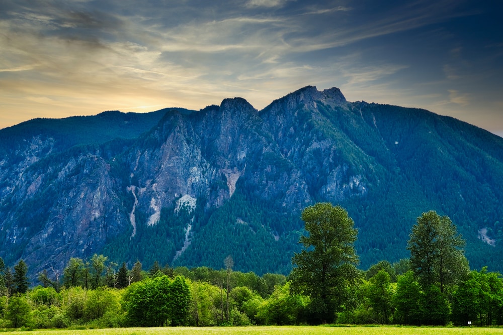
- Elevation: 4,167 feet (1,270 meters)
- GPS Coordinates: 47°30′27″N 121°44′24″W
Mount Si is situated to the east of Snoqualmie. It is one of the most popular mountains to hike each summer in Washington. On average, about 100,000 visitors come to this mountain annually, some to hike and climb it and others for the beautiful views you can get from its base and around the nearby lake.
Even though this is a popular mountain to hike, you should still take care. For example, you will need some technical gear if you decide to scramble up the final portion of the mountain called the Haystack. It is best to go early in the morning to secure a parking spot and easier access to the trailhead.
Part of what makes it so popular is its proximity to Seattle. It is only a 45-minute drive from the city. In addition, the mountain itself can easily be done in a day trip, making it an excellent option for those with minimal time to plan and train for the trek.
8. Goode Mountain
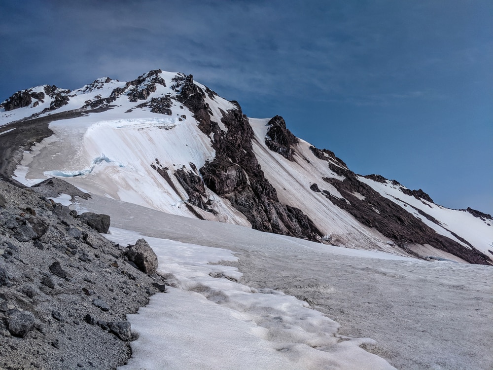
- Elevation: 6,000 feet (1,800 m)
- GPS Coordinates: 48°28′58″N 120°54′39″W
Good Mountain is one of the lesser-known mountains in the North Cascades of Washington because of its relatively remote accessibility from any major cities in the state. Its sheer sides are reminiscent more of the shapes of mountains in the Himalayas than the Rockies, although it’s much shorter than those in the Asian mountain range.
Good Mountain was named for the topographer that originally described and categorized the mountain, Richard U. Goode. It is the highest peak within the North Cascades National Park and the fourth-highest non-volcanic peak in Washington. The mountain has two prominent peaks and several smaller sub-peaks. Because of its remoteness, the mountain is not frequently climbed, only submitted for the first time in 1936.
There are three primary routes up the mountain, but keep in mind that this is not a mountain for beginners or even moderate hikers. It requires many technical climbing skills to reach the top and has only been done by a handful of people since 1936.
9. Buckner Mountain
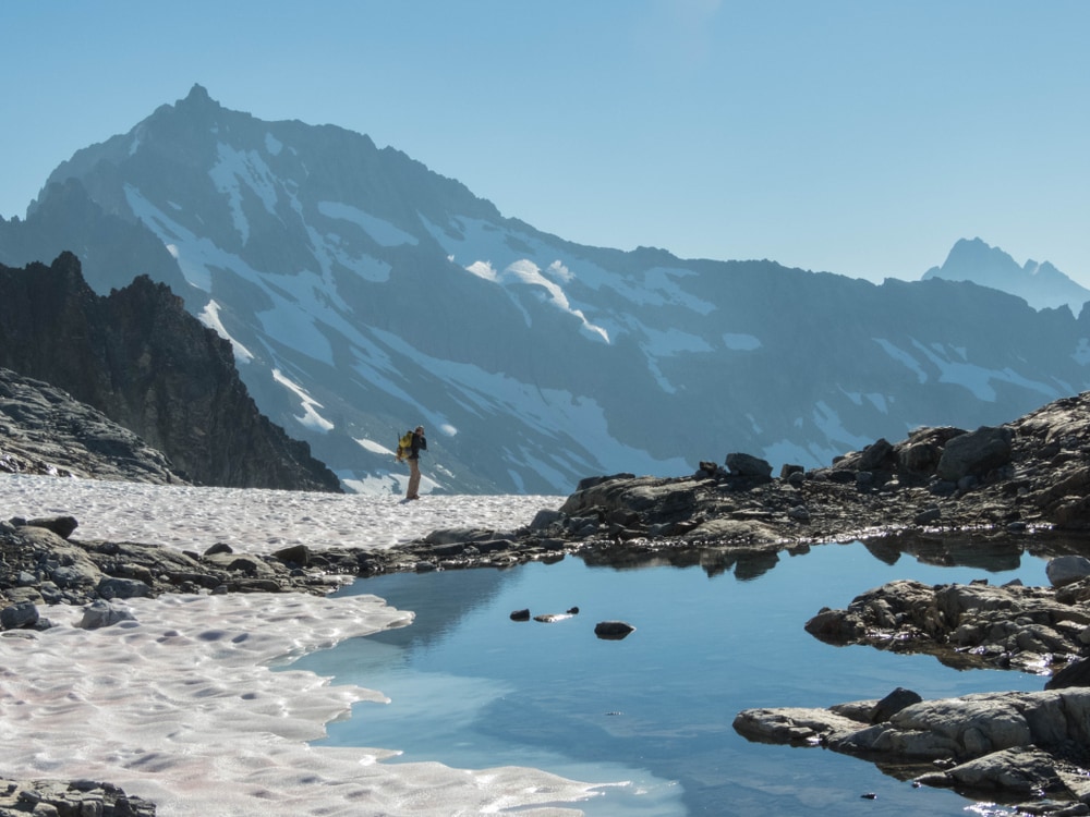
- Elevation: 9,114 feet (2,778 meters)
- GPS Coordinates: 48°29′42″N 120°59′52″W
Buckner Mountain is also sometimes called Mount Buckner. It is another tall but remote peak in the North Cascades in Washington. It is one of the higher non-volcanic peaks in Washington and is the 14th highest peak in the state.
This mountain has two summits that are about the same elevation and separated by a ridgeline of only a couple of hundred feet. Mount Buckner is close to Goode Mountain, which lies about 4.13 miles (6.65 kilometers) to the east.
It is slightly more accessible than Good Mountain, though. It is located just to the east of Cascade Pass. It has a well-maintained trail and is known for being one of the best ice climbs in the North Cascades.
10. Mount Stuart
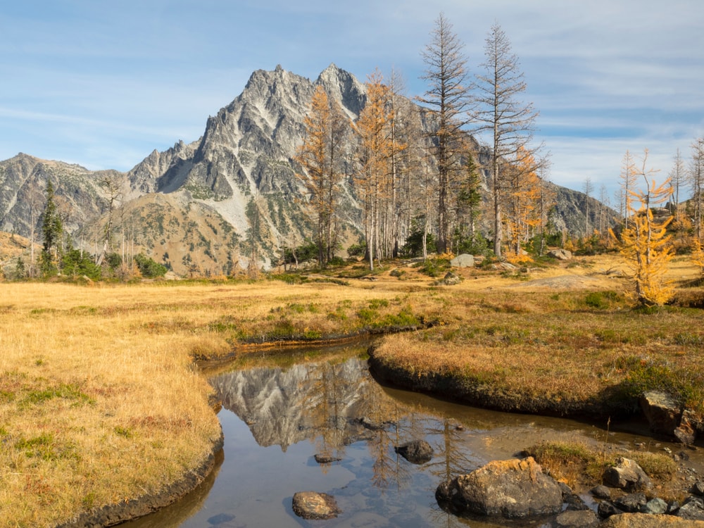
- Elevation: 9,415 feet (2,869 meters)
- GPS Coordinates: 47°28′30″N 120°54′11″W
Mount Stuart lies within the Cascade Range in Washington. It is the second-highest non-volcanic mountain in the state, ranking it the seventh-highest mountain overall. The mountain is a defining feature of the sub-range within the Cascades called the Stuart Range and is just east of the Snoqualmie Pass into the Alpine Lakes Wilderness.
The mountain’s name has an interesting origin point. Most topographers, explorers, or origin hikers give mountains names after themselves. However, George B. McClellan named the mountain in 1853. Its name was meant to honor his best friend, Captain Jimmy Stuart, who died in combat a few years before in southwest Oregon.
Mount Stuart is more known for its visual aesthetic on account of its relief than its elevation prominence. It is very steep along its south face and jagged due to the extensive granite joints that make up the mountain. The easiest route isn’t highly technical, which has complicated the records of the earliest ascent on the mountain. However, it makes it a better non-volcanic peak to climb for hikers in the area.
11. Mount Fernow
- Elevation: 9,249 feet (2,819 meters)
- GPS Coordinates: 47°28′30″N 120°54′11″W
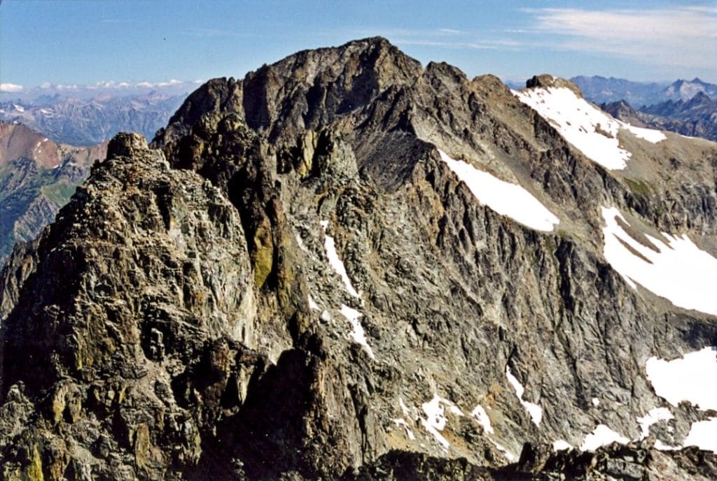
Mount Fernow is a peak within the North Cascades in the Glacier Peak Wilderness. It is the eighth-highest peak in Washington state. The mountain is flanked by glaciers and other glaciated peaks, which gives rise to the headwaters of the Entiat River.
Albert Sylvester named this peak in honor of Bernard Fernow. Fernow was a German Forester working in the US for the Division of Forestry throughout the 19th century. He had a large hand in laying the foundations for the United States Forest Service that protects and maintains many of our forests to this day.
It is not a very popular mountain to climb since it is pretty remote. Even getting to the mountain requires crossing on foot over loose boulder fields.
12. Mount Shuksan
- Elevation: 9,131 feet (2,783 meters)
- GPS Coordinates: 48°49′54″N 121°36′11″W
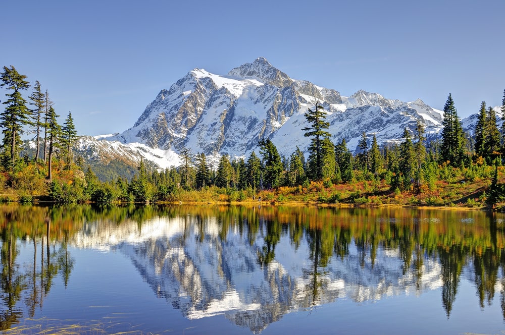
Mount Shuksan is arguably one of the most beautiful peaks in all of Washington and one of the most photographed in the United States. It is among the tallest peaks in Washington. The mountain is quite popular to hike, although it takes an overnight trip to get to the top. There are also 14 different routes to the top, so climbers can summit the mountain and get a new experience each time.
Not all trails are created equally. Be sure to plan your trip well and choose a trail that suits your capacity as a hiker.
13. Glacier Peak
- Elevation: 10,525 feet (3,207 meters)
- GPS Coordinates: 48°06′45″N 121°06′50″W
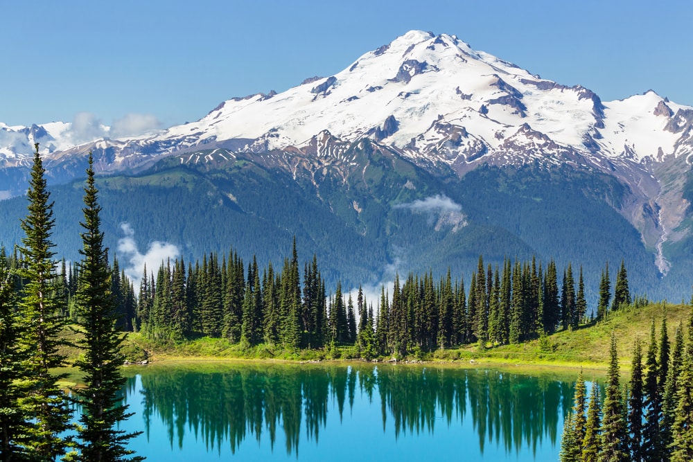
Glacier Peak is one of the five volcanic mountains in Washington. It is also called Dakobed. The name was given to it by the Native Americans who originally lived in the area around its base. It is the most isolated of the five significant stratovolcanoes in the area but still quite popular. It is visible from Seattle because of its prominence.
Even though it is a beautiful mountain, it is quite a commitment to trek. Unfortunately, years of harsh winter and spring storms washed away all the access roads to the mountain’s base. Reaching the base takes a trek of at least 10 miles (16 km), so plan on a minimum of a three-day hike to climb Glacier Peak. Luckily, the hike isn’t overly technical or complex, simply long and strenuous.
14. Dragontail Peak
- Elevation: 8,840 feet (2,690 meters)
- GPS Coordinates: 47°28′43″N 120°50′00″W
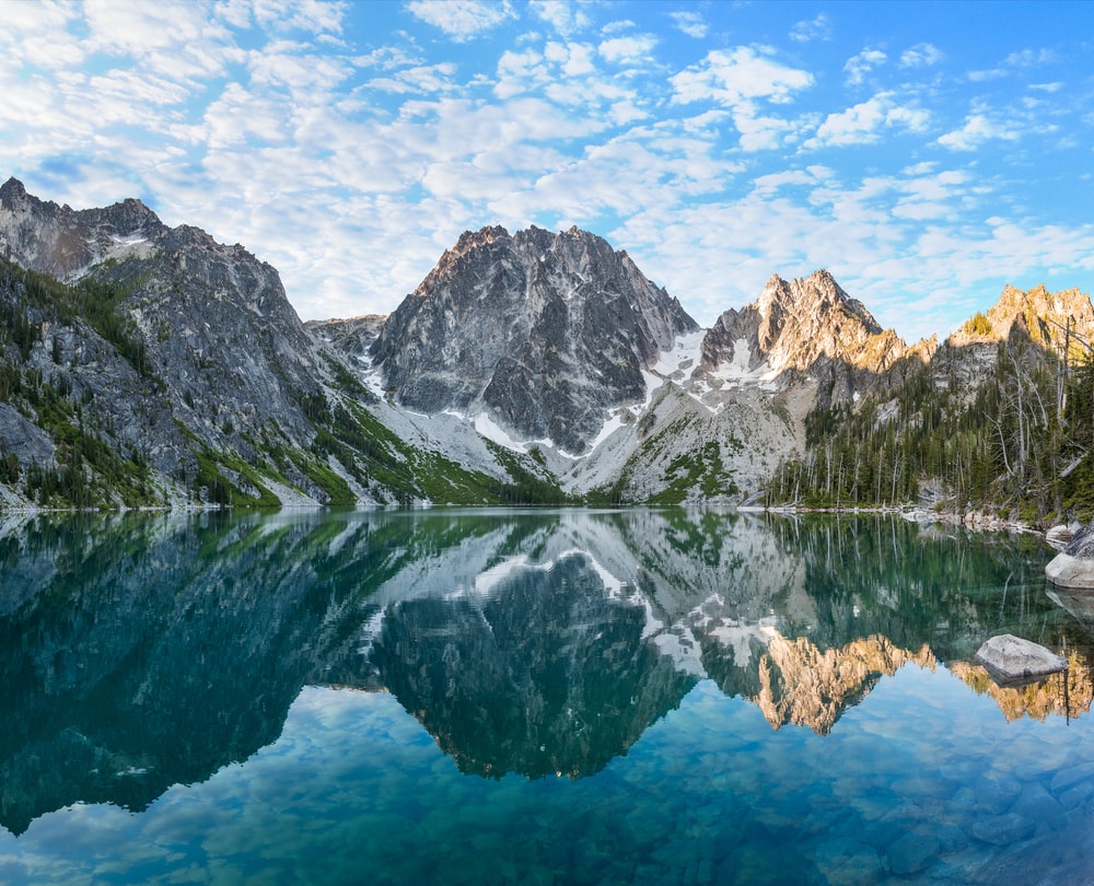
Dragontail Peak was imaginatively named for its sharp ridges of rock that extend along its ridgeline that resembles a dragon’s tail. It is a staggering mountain with various peaks formed by the ridges. There are a variety of routes to reach the top of the mountain. These range in difficulty, meaning an amateur hiker can use some while seasoned mountaineers could find routes they find challenging.
15. Forbidden Peak
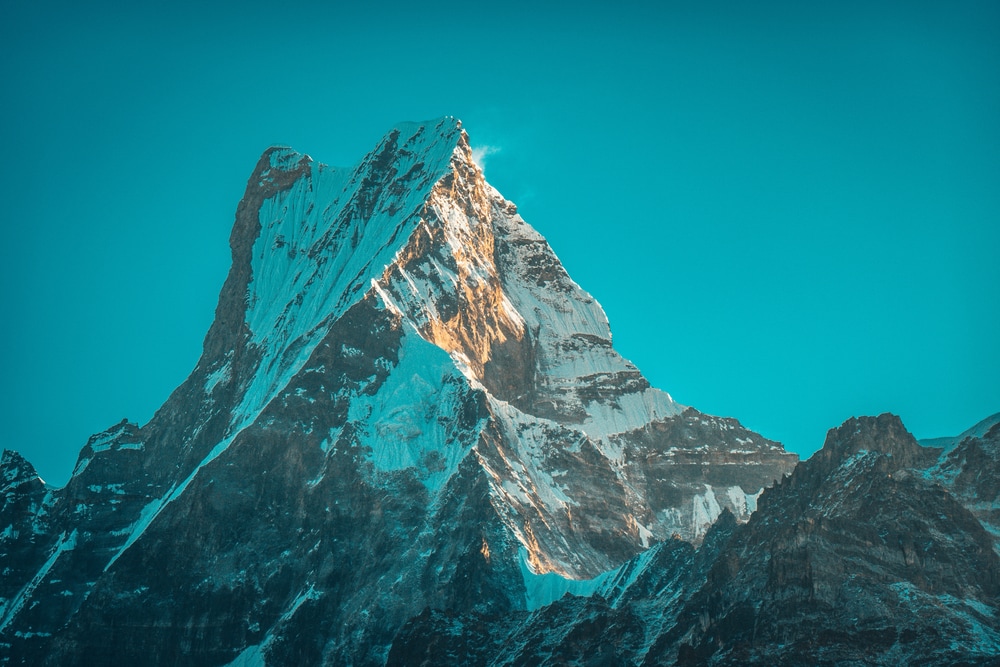
- Elevation: 8,815 feet (2,686 meters)
- GPS Coordinates: 48.5115° N, 121.0579° W
Forbidden Peak is a mountain hidden away within the Cascade Valley. It has had a variety of names over the years, including Mount Forgotten and Isosceles Peak. However, most agree that Forbidden Peak is the name that has finally stuck. It has a picturesque triangular summit, which is also what makes it such a challenging route for climbers.
There are three main routes to the top, but none of them are easy. Hiking, scrambling, and some rock climbing are required to reach it. However, all the climbers that manage it, in the end, agree that it was worth all the trouble for the beauty of the views.
16. Abercrombie Mountain
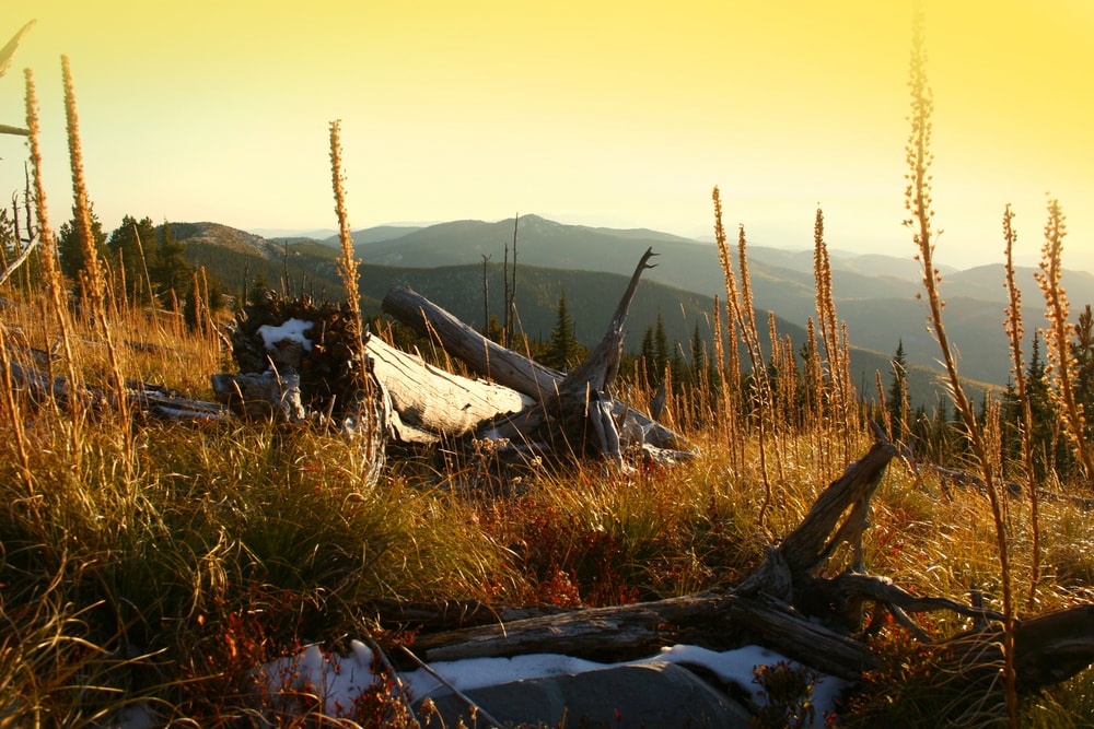
- Elevation: 7,310 feet (2,228 meters)
- GPS Coordinates: 48°55’42” N, 127°27’36” W
Abercrombie Mountain is part of the Selkirk Mountains in the northeast corner of Washington within Colville National Forest. Because of its low-lying surrounding landscape, this mountain is one of the most prominent in the entire United States, even though it isn’t particularly tall.
The mountain received its name from Lieutenant William Abercrombie, who explored the Pend Oreille River nearby in the late 1800s. It doesn’t require any technical climbing to reach the top, so it is relatively popular for beginner hikers. Because of its relative remoteness in the mountain range, hikers need to be particularly prepared and vigilant for grizzly bears.
17. Tower Mountain
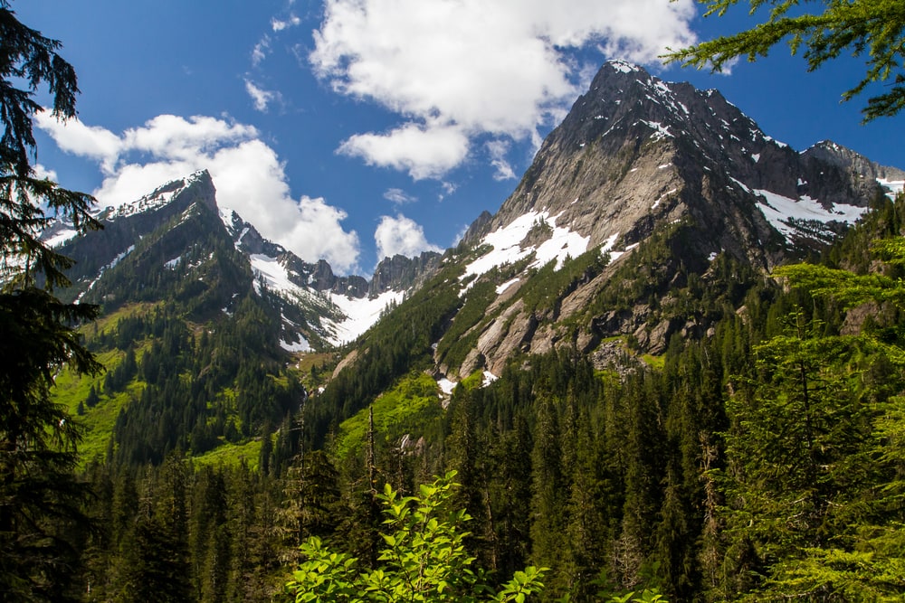
- Elevation: 8,444 feet (2,574 meters)
- GPS Coordinates: 48°35’18” N, 120°42’15” W
Tower Mountain is another of the non-volcanic mountains that stand out from the crowd in Washington state. It lies in the North Cascades in the Okanogan sub-range. It is a beautiful mountain to look at, yet not one of the more popular mountains to hike. You get excellent views of it from the nearby Pacific Crest Trail that runs through the state.
The mountain requires a great deal of technical skill to reach the summit. It received its name for the tower of imposing stone that sticks from the top of the mountain to form the summit. On one side of this tower, there is a trail that ends in a Class 3 climb that is relatively easy. However, the other side is almost vertical and should only be attempted by climbers with a lot of skill and experience.
18. Baring Mountain
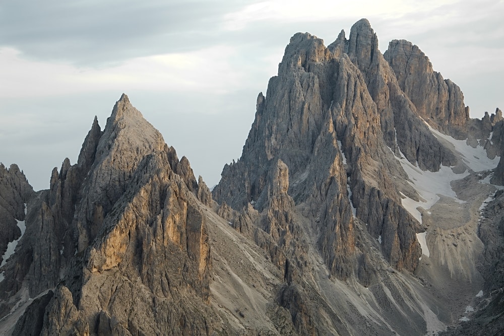
- Elevation: 6,125 feet (1,866 meters)
- GPS Coordinates: 47.7793° N, 121.4357° W
Baring Mountain isn’t close to being one of the highest peaks in Washington. However, it still merits a mention as one of the overall steepest mountains. Its ridge along the northwest edge is used to summit it since it is more level. However, the southern edge features a dramatic overhang seemingly dangling over the landscape below it.
This can be climbed but is seldom done since only advanced climbers can successfully use the route. The route is so tricky yet stunning that it is often compared to the climbs you can do in Yosemite. However, the rock on Baring Mountain has a much more dangerous reputation for being loose and somewhat rotten underneath.
19. Bonanza Peak
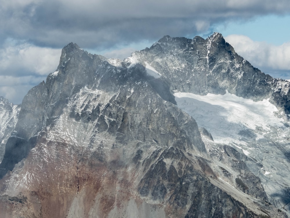
- Elevation: 9,516 feet (2,900 meters)
- GPS Coordinates: 48°14’18” N, 120°51’59” W
Bonanza Peak is one of the most popular mountains to climb within the North Cascades range in Washington. It is not one of the most technically complex mountains on the list but requires various skills that challenge up-and-coming mountain climbers. In addition, it has a reputation for being wicked, requiring mountaineers to put their skills to the test, hence its name.
If you want to test out your technical skills, you can reach the peak via the water, adding to its unique experience. Visitors often take the Lake Ferry over to Lucerne. From here, you will find the trailhead and start your journey. It is best to visit this peak in the mid to late summer months as the snowpack at its peak can make it almost impossible to climb otherwise.


