Outforia Quicktake: Key Takeaways
- Virga is a weather phenomenon where precipitation evaporates before reaching the ground, creating wispy streaks below clouds.
- Virga can occur in various types of clouds, including Cirrocumulus, Altocumulus, Altostratus, Nimbostratus, Stratocumulus, Cumulus, and Cumulonimbus.
- Virga is most common in desert regions with dry and warm conditions, such as the Southwest United States, North Africa, the Middle East, and Australia.
- Microbursts, a type of damaging wind, can develop from virga and cause strong winds near the Earth’s surface, posing danger to pilots and aircraft.
- The appearance of virga can help forecast different weather events, depending on the type of cloud it forms in.
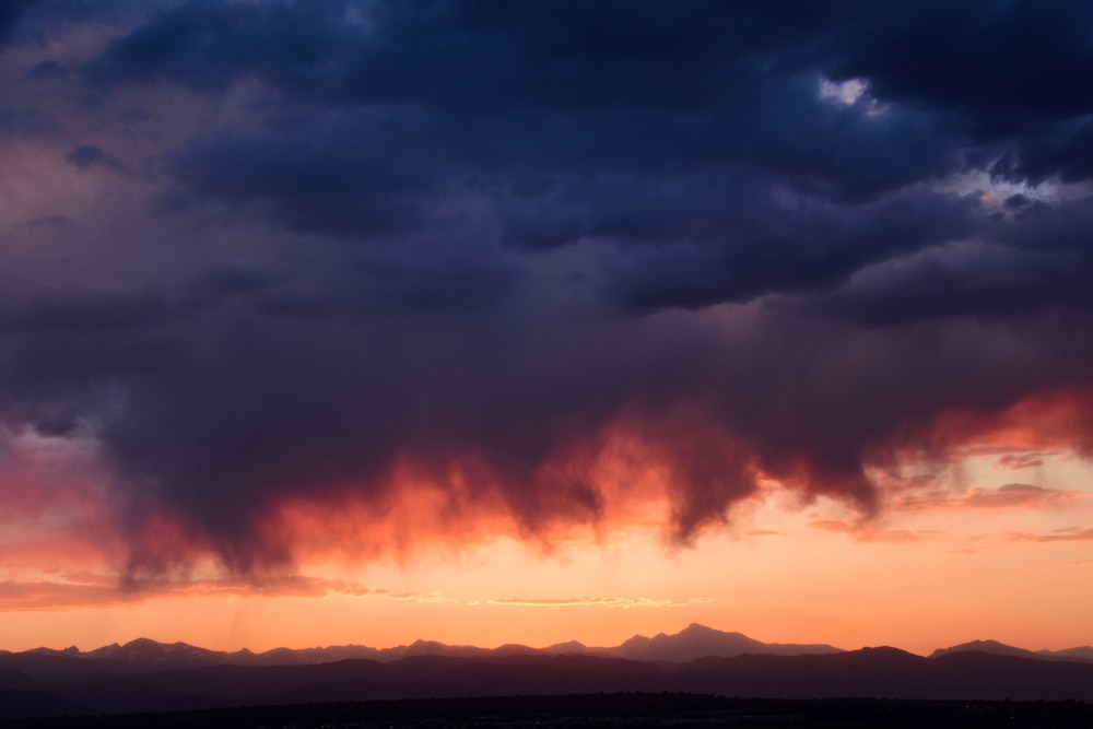
Virga is a weather phenomenon that occurs when precipitation falls from a cloud but evaporates before reaching the ground. Virga can occur from different types of clouds. This can make it hard to identify.
Virga creates wispy streaks that drop down from clouds. It’s often confused with wispy clouds of precipitation that are actually reaching the ground. There are several different types of clouds in which virga can appear.
The key is to study the types of clouds in the sky and determine whether the streak-like shapes falling down are virga or precipitation reaching the ground.
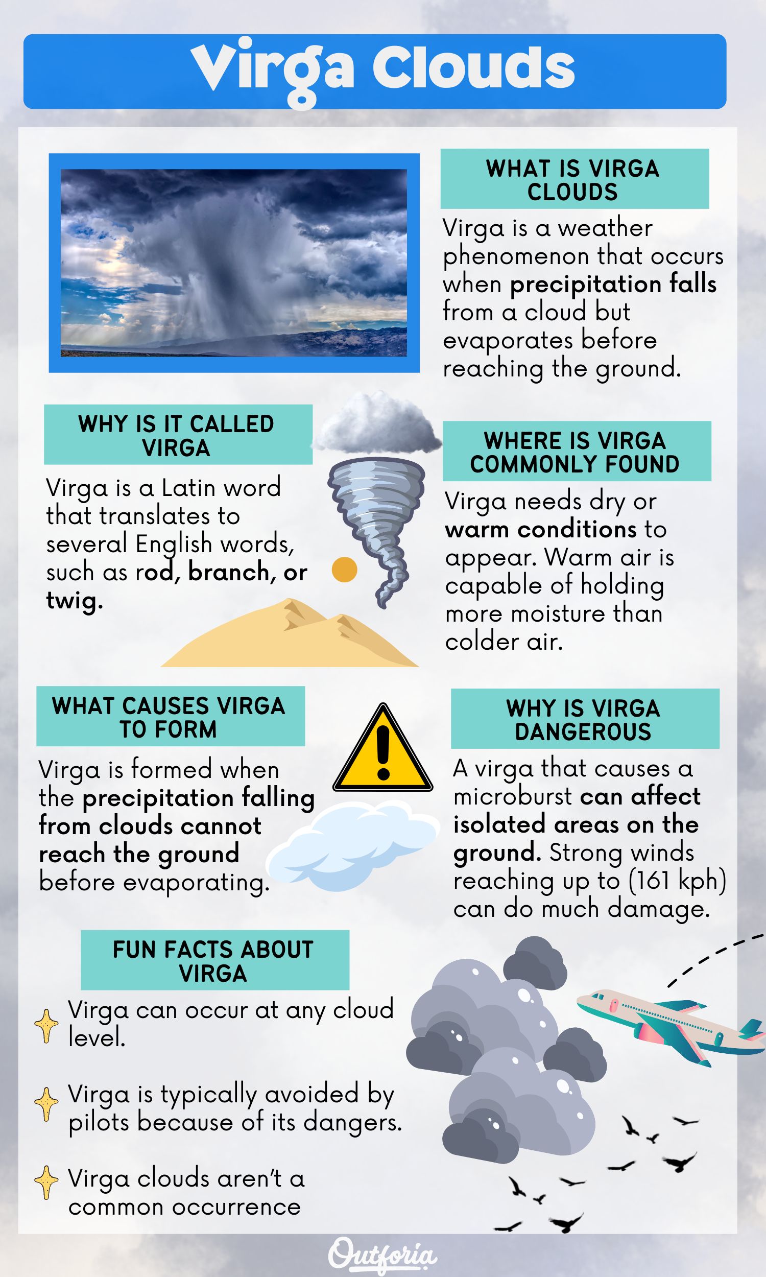
Share This Image On Your Site
You May Also Like: Cumulonimbus Clouds: The Sky’s Severe Weather Billboard
Why Is It Called Virga?
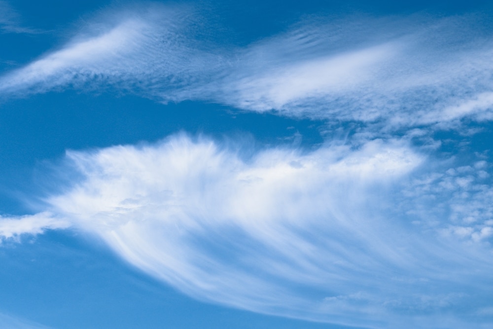
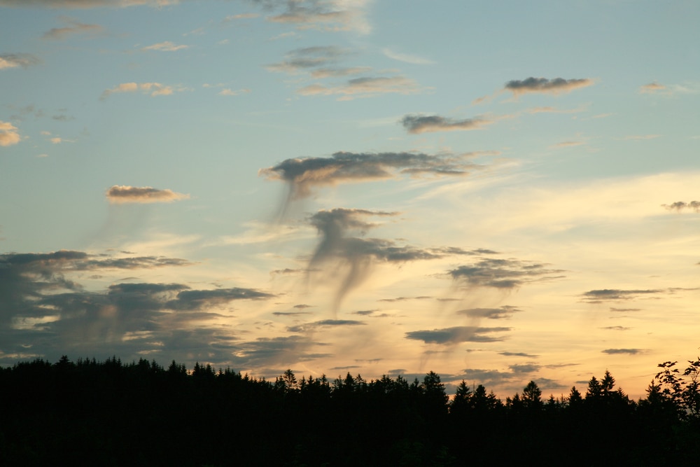
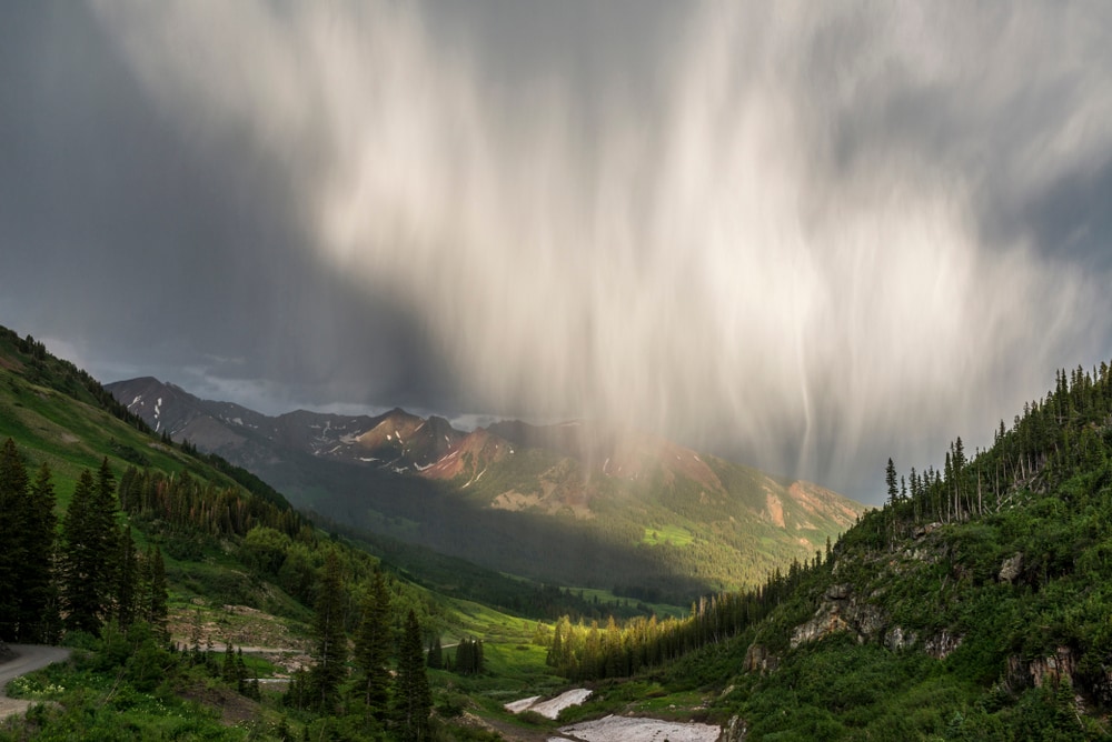
Virga is a Latin word that translates to several English words, such as rod, branch, or twig. This name comes from the shape that virga takes when it occurs. The word virga is a noun because it refers to mass streaks of rain or another type of precipitation that appear below a cloud.
When virga forms, it creates a rod or twig-like appearance that stretches down from clouds. The shape you see in virga is precipitation falling from the cloud.
Since precipitation evaporates before it reaches the ground, virga stops and creates wispy tail-like ends. This creates an illusion that it’s about to rain, but it doesn’t in the case of virga.
What Does Virga Look Like?

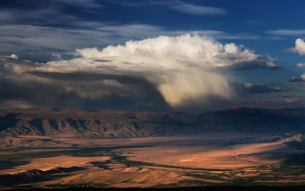
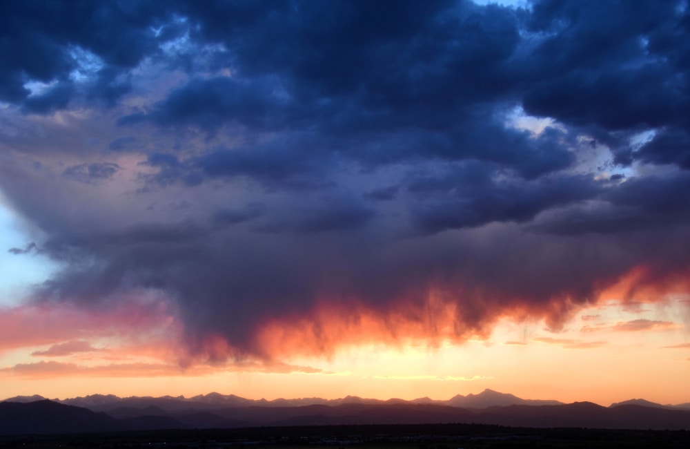
Virga can come from many different types of clouds. It’s also easily confused with precipitation that eventually hits the ground.
The appearance of rain, hail, or snow falling from a cloud that reaches the ground is called precipitation. This is a common sight when you spot precipitation falling from clouds and reaching the ground from a distance.
Virga has a similar appearance in the way that it’s shaped, no matter the type of cloud. It can occur in several different types of clouds, including:
- Cirrocumulus
- Altocumulus
- Altostratus
- Nimbostratus
- Stratocumulus
- Cumulus
- Cumulonimbus
Most of these clouds come with some type of precipitation or a warning that it’ll precipitate later on. Virga is associated with these clouds because it involves precipitation.
Each of these clouds can bring on a different type of precipitation. They also occur at different altitudes. Cirrocumulus clouds form at the highest altitude, between 16,000 (4,877 m) and 43,000 ft (13,106 m). They’re usually small, round, and puffy. Cirrocumulus clouds are common in the winter.
Altocumulus and altostratus clouds both occur at the middle level in the sky. They typically range anywhere between 7,000 (2,134 m) and 23,000 ft (7,010 m) above the Earth’s surface.
Altocumulus clouds are typically grayish-white. They can indicate that a thunderstorm is on its way if spotted in the morning of a warm, humid day. Altostratus are gray or bluish-gray. They’re a sign that continuous rain might be in the forecast.
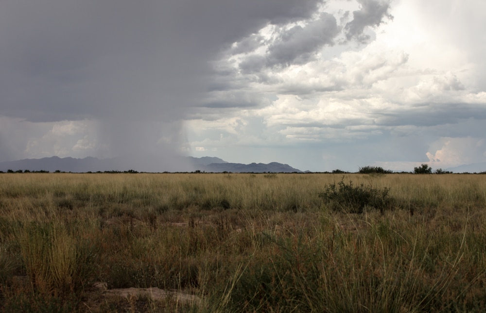
Nimbostratus, stratocumulus, and cumulus are all low-lying clouds. Each is generally associated with some type of precipitation. Cumulus clouds can simply indicate fair weather but can also be signs of storms approaching.
Nimbostratus commonly occurs when it’s expected to rain or snow continuously. These are the clouds you see on a day when the sky is fully covered with dark gray clouds. Stratocumulus clouds create light rainfall.
Cumulonimbus clouds are giant puffy clouds that can reach heights up to 6.2 miles (10 km) high. Their base can be in the lower level of the sky, but the tops can reach the highest level. These clouds are associated with thunderstorms or snowstorms. They can cause heavy rainfall, lightning, hail, or heavy snowfall.
Virga can form with any of these types of clouds if the conditions are right. A dry or warm layer of air between the cloud and the Earth’s surface must be present to occur.
Where Is Virga Commonly Found?
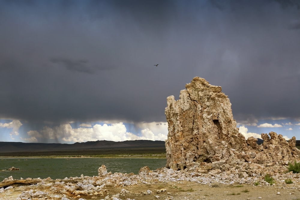
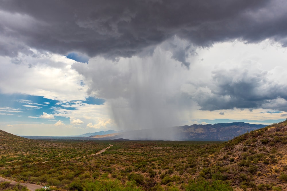
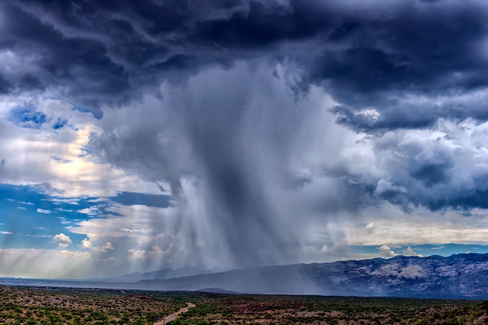
Virga needs dry or warm conditions to appear. Warm air is capable of holding more moisture than colder air. So even if it’s warm, it doesn’t mean that virga can happen.
It’s most common in desert regions like the Southwest of the United States. Other regions that experience dry and warm conditions include North Africa, the Middle East, and Australia.
What Are Microbursts?
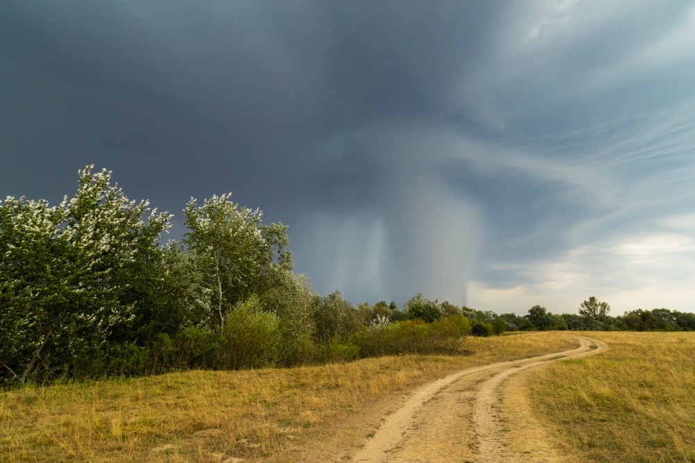
Microbursts are a type of damaging wind that occurs in a concentrated column of sinking air. The motion of air rapidly sinks, known as a downburst. When it hits the ground, it creates another burst of air that spreads out. This causes very strong winds to occur near or at the Earth’s surface.
The strong winds of a microburst only last for about 5-10 minutes. However, the winds can reach speeds up to 100 mph (161 kph) and cause a lot of damage to the area where it occurs.
A microburst develops from a thunderstorm. It begins as warm air rises and forms condensation, known as an updraft. This is when precipitation is developed.
Updrafts help keep the precipitation in place. If an updraft is strong enough, it can collect large amounts of precipitation. If too much precipitation is collected, it could cause the updraft to weaken.
Once weakened, the air and precipitation suspended by the updraft are released. The downburst of air meets the ground and causes strong winds.
Virga can form from microbursts and contain strong winds. Virga is the result of a microburst when the precipitation from an updraft is released. Still, it hits a dry, warm layer of air before it can reach the ground.
What Causes Virga to Form?
Virga can form as a result of a microburst in the right conditions. It can also be created if a cloud releases precipitation, but dry air is present below it.
Water on the Earth’s surface turns back into water vapor, or air, as it evaporates. Clouds form when water vapor is turned back into water droplets in a process called condensation.
As clouds continue to collect more condensation, water droplets become bigger.
Water droplets eventually become too heavy for the cloud to hold, which produces precipitation. In most cases, the precipitation reaches the ground.
However, when precipitation cannot reach the ground in dry and warm conditions, it evaporates.
Virga is formed when the precipitation falling from clouds cannot reach the ground before evaporating. When a layer of dry and warm air is present below a cloud, it creates the right conditions for evaporation to occur. The wispy tails of virga are a sign that they’re hitting a dry, warm area in the sky.
You May Also Like: Lenticular Clouds: Why Are They Shaped Like UFOs?
What Are the Effects of Virga?
Virga can be a sign of several different types of weather. Since virga can appear from different clouds, it can forecast various weather events.
Virga is linked to precipitation, which could signify that rain is in the forecast. However, it can also appear in fair conditions.
Virga is usually an isolated weather phenomenon. This means that rain can be present in other locations surrounding a cloud that has formed virga.
The type of cloud you see with virga ultimately determines what kind of weather could be coming. Virga does cause certain weather conditions, like microbursts. But when precipitation reaches the ground, it’s no longer called virga.
Microbursts can occur if cumulonimbus clouds are present because they’re storm clouds. Cumulus clouds are also associated with stormy weather. Both of these clouds can produce virga that can cause dangerous winds from microbursts.
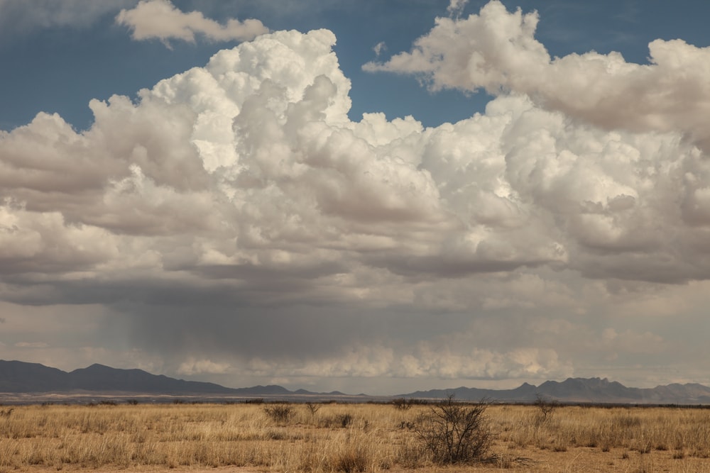
Lighter forms of precipitation typically come from stratocumulus, altostratus, and nimbostratus clouds. Virga is already an uncommon occurrence. It’s even rarer in the winter. However, virga is also associated with cirrocumulus clouds, which are common during cold and fair winter weather.
Altocumulus clouds usually don’t produce precipitation. They can be a sign that storms are coming later in the day. If precipitation falls from these clouds, it’s likely it won’t hit the ground. With that said, these clouds typically create virga.
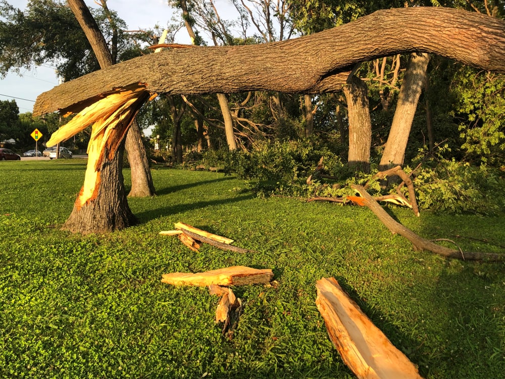
Virga can cause strong winds at high altitudes. This can pose problems for airplanes. Virga can also cause high-speed winds on the Earth’s surface when a microburst occurs. These strong winds can knock down trees and damage power lines or houses.
Why Is Virga Dangerous?

Virga can be dangerous because it can cause problems for pilots and aircraft. It can also lead to damage on the ground due to high winds associated with it.
Pilots typically avoid virga because it could put them in a spot with severe turbulence. When precipitation turns back into water vapor, it takes warmth out of the air. This is because evaporation is a cooling process.
Cold air sinks because it’s denser. As cold air rapidly sinks as a result of virga, it disrupts the motion of air. Airplane rides are smoother when there are fewer vertical air movements.
A virga that causes a microburst can affect isolated areas on the ground. Strong winds reaching up to (161 kph) can do much damage. These wind speeds are similar to that of a category 2 hurricane or an F1 moderate tornado.
Fun Facts about Virga
Precipitation travels a long way before it reaches the ground.
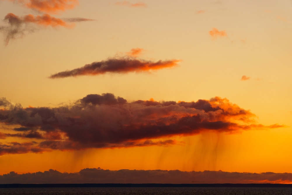
Precipitation falls from very high altitudes. The height it falls from can depend on the type of cloud it comes from. Precipitation often has to travel thousands of feet before reaching the ground. In the process of traveling from the cloud to the ground, many changes occur.
Virga can occur at any cloud level.
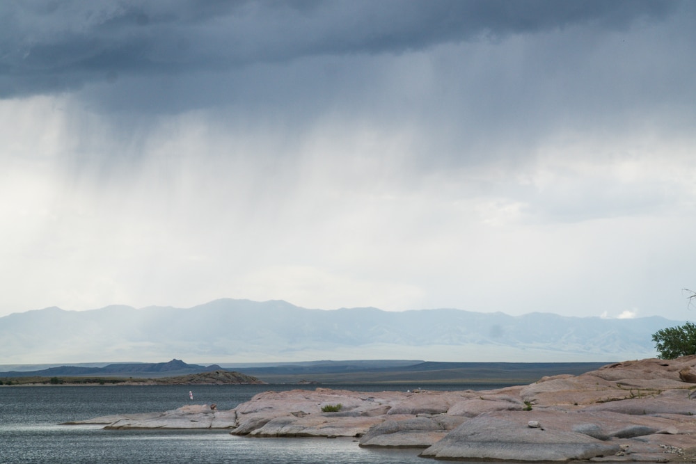
Virga is associated with more than five different types of clouds. It can form at the highest to the lowest level of cloud height levels.
One cloud can hold a lot of water.
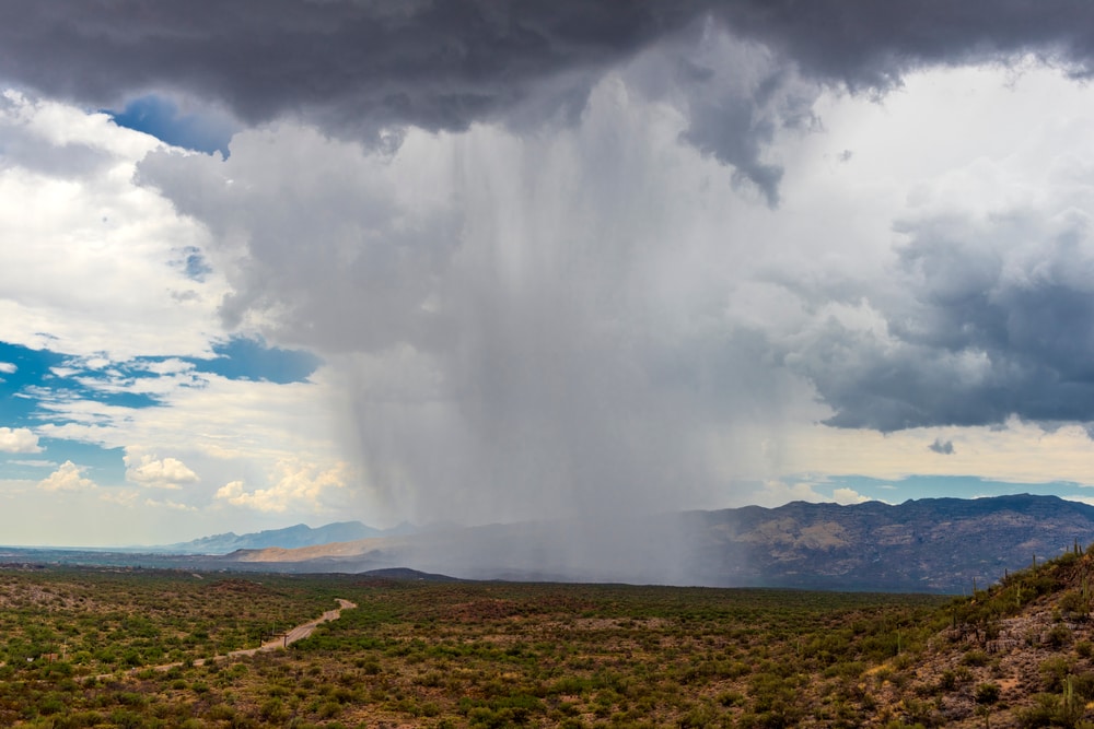
Clouds might look light and fluffy, but they’re actually really heavy. They can hold large amounts of rain. A large cumulus cloud can hold up to about one million pounds (453.6 tonnes) of water. A large cumulonimbus storm cloud can weigh as much as 2.3 billion pounds (about 1.1 million tonnes).
Sunsets enhance the beauty of virga.
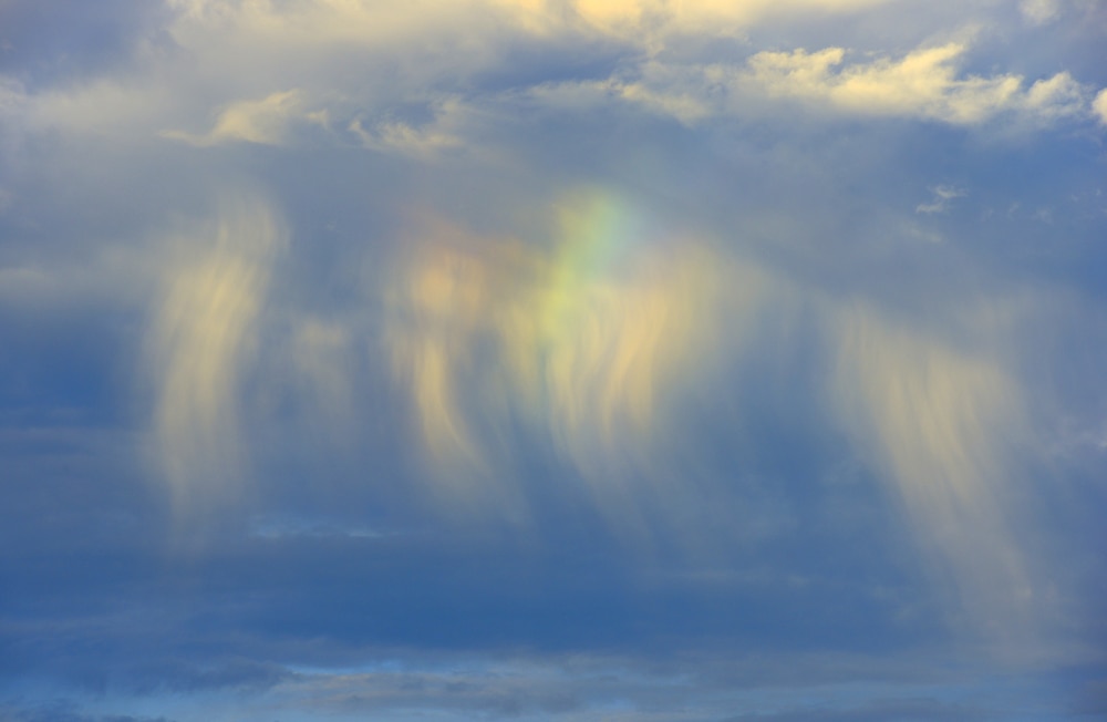
Virga is often most enjoyed during sunset. The golden or red-orange hue can light up the wisps of virga to create a nice scenic view.
Gray clouds are thicker than white clouds.
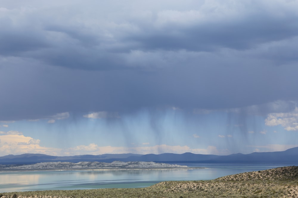
When clouds gather more water, they become more thick and heavy. White clouds are lighter than gray clouds because they don’t hold as much water.
They’re also more transparent and allow more light to shine through them. This is why they have a white appearance. Since gray clouds are thicker, less light passes through them. This causes their color to be gray.
You May Also Like: 24 Types Of Natural Disasters That You Need To Know
FAQ
Can you fly through virga?
Virga is typically avoided by pilots because of its dangers. If a pilot flies through virga, they could experience severe turbulence. The turbulence is caused by the downdraft created by virga.
Turbulence can cause a plane ride to get really bumpy. It can also turn into a dangerous event if turbulence is too strong for a pilot to control a plane. It could also cause damage to an aircraft.
Does virga cause turbulence?
Yes, virga does cause turbulence. It comes from the rapid vertical movement of air in an isolated location. Vertical currents are one of the main causes of turbulence. Turbulence intensity can range from light to extreme.
Are virga clouds rare?
Yes, virga clouds aren’t a common occurrence. They’re considered one of the rarest types of clouds. It needs the right conditions to form and doesn’t happen everywhere.
What is the rarest cloud?
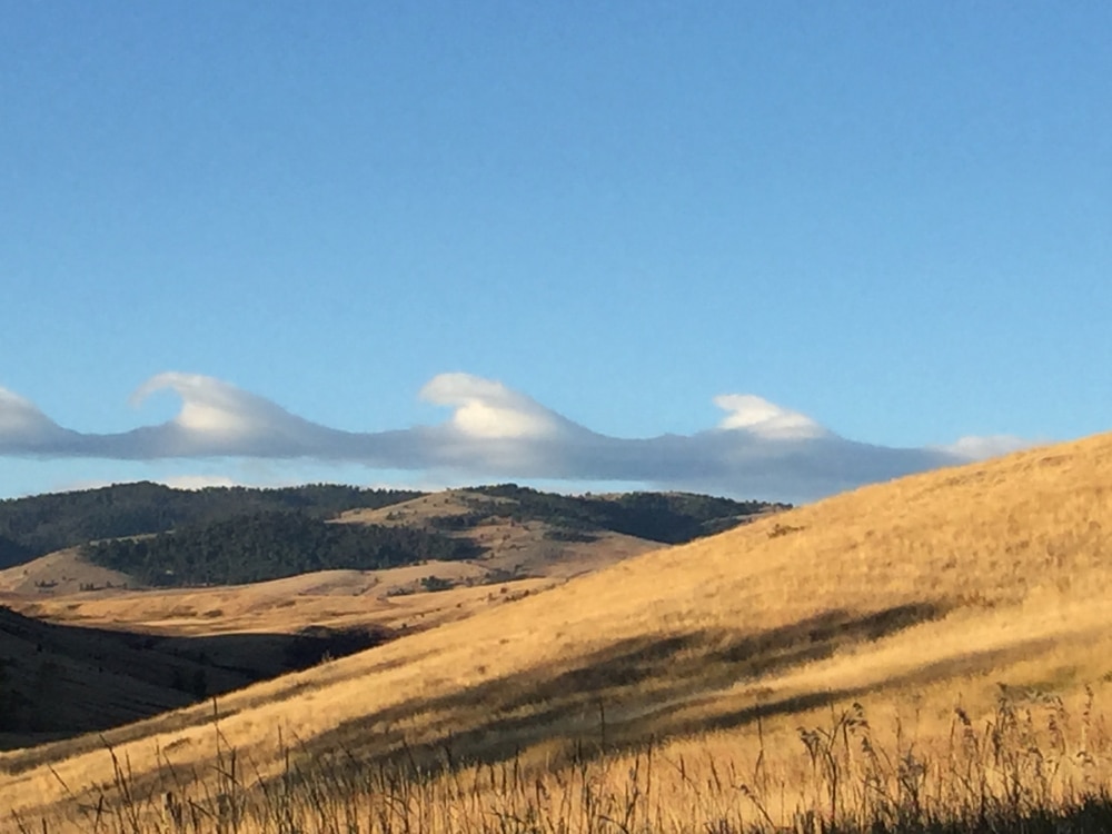
There are a few types of clouds that are pretty rare phenomena. A Kelvin-Helmholtz wave is one of the rarest types of clouds that form a unique pattern that looks just like ocean waves.
What is the true color of clouds?
Clouds are naturally white because sunlight is white. When sunlight hits a cloud, it scatters throughout it and hits the water droplets.


