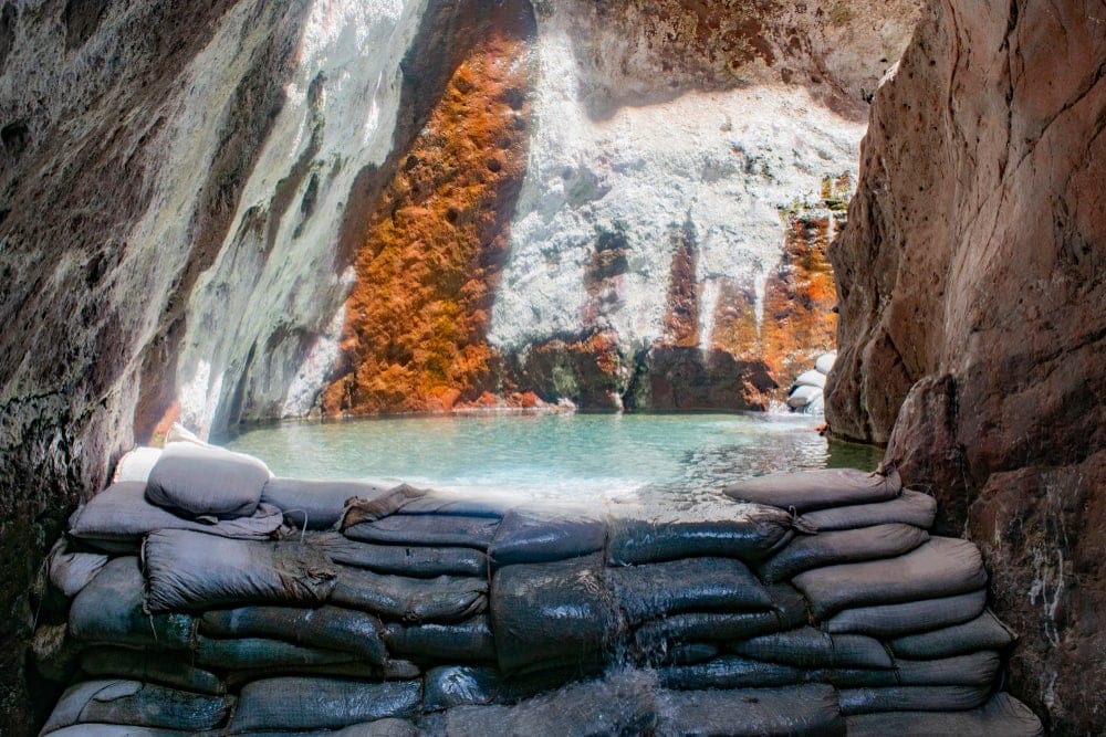
Arizona’s national parks take you to places like the world’s second-largest canyon, saguaro forests, and volcanic “sky islands.”
Twenty-four parks make up Arizona’s National Park Service under seven designations, including:
- Three national parks
- 13 national monuments
- Two national recreation areas
- Two national historic sites
- Two historical trails
- Two national historical parks
- Two national memorials
Of Arizona’s twenty-four parks, ten provide a well-rounded experience in nature.
I defined this as having at least a few miles of hiking and camping either in the park or in a neighboring area. Otherwise, the park has other activities like fishing and cycling. Or it has a visual focus on rocks, plants, or animals.
List of the Best National Parks in Arizona for Hikers and Nature Lovers
1. Grand Canyon National Park
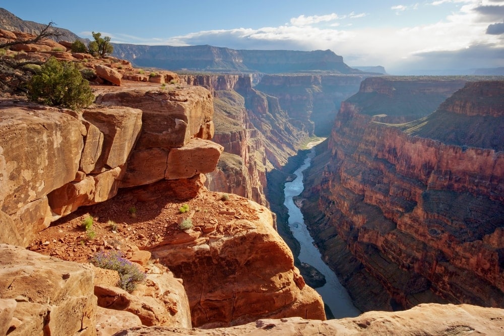
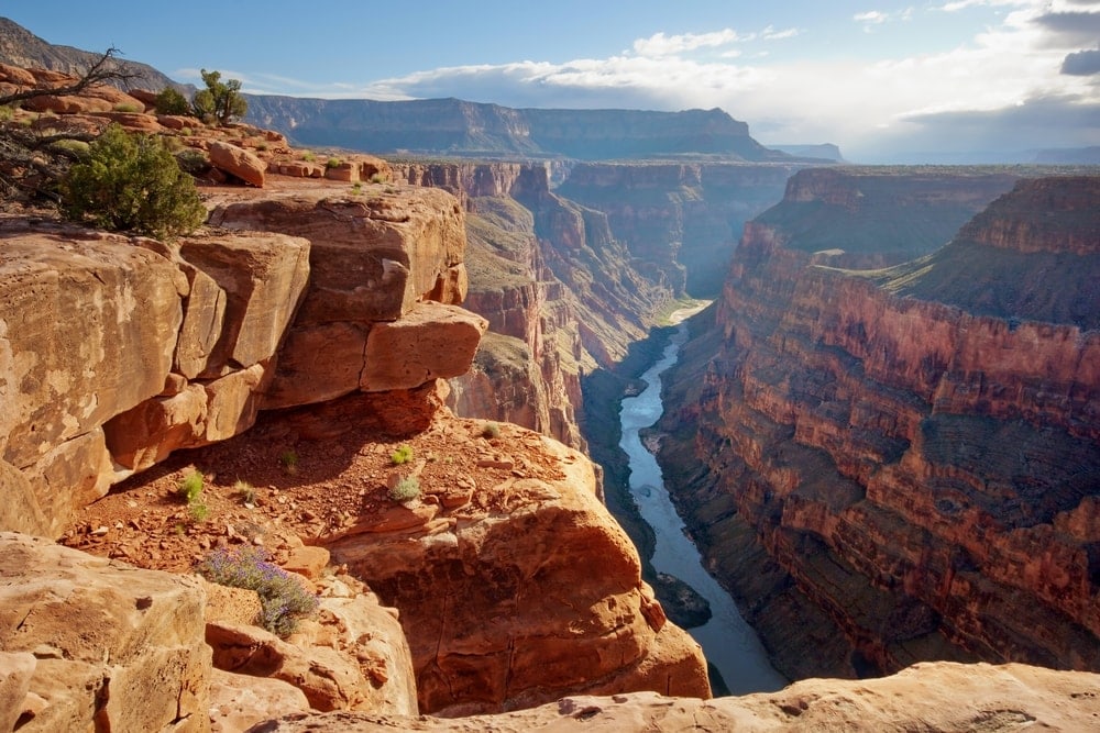
Grand Canyon National Park is one of the most well-known national parks. It encompasses the 1,218,375 acres (493,059 hectares) of the canyon, its uplands, and 277 miles (446 kilometers) of the Colorado River. The colors on the canyon walls show the layers of rock the river had to cut through as tectonics pushed the land up.
The park had a series of name upgrades. In 1893 it was called the Grand Canyon Forest Reserve. It became a national monument in 1903, a national park in 1908, and even a World Heritage Site in 1979.
The South Rim remains open year-round and has the most hiking and camping.
The North Rim is more secluded and closes over winter. Because of possible icing on steep trails in the winter, hiking is best between May and October. Though to avoid the largest crowds, winter has much to offer.
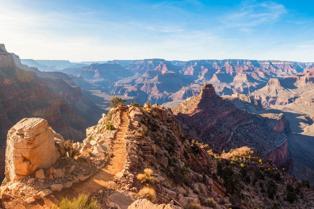
Of the 595 miles (956 kilometers) of hiking trails, the most popular is the Bright Angel Trail. Sections are easy-access for day hikers. And the determined overnight backpackers tackle the whole 15.3 miles (8.5 kilometers).
Another trail is the South Kaibab. It has many entwining segments that often come to six miles (9.7 kilometers). It’s steep but offers the most scenery without going on a longer hike.
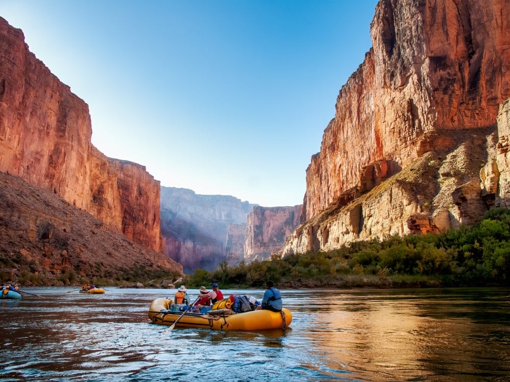
Besides hiking, the Grand Canyon has roads for biking and the Colorado River for rafting. Mule trips go from the top to Phantom Ranch at the bottom and back up the next day.
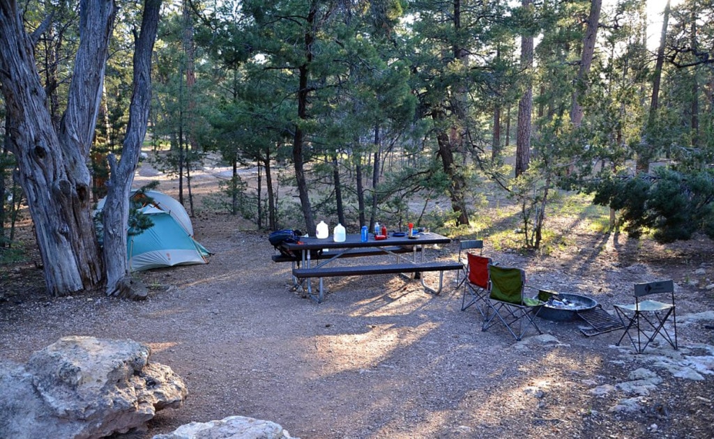
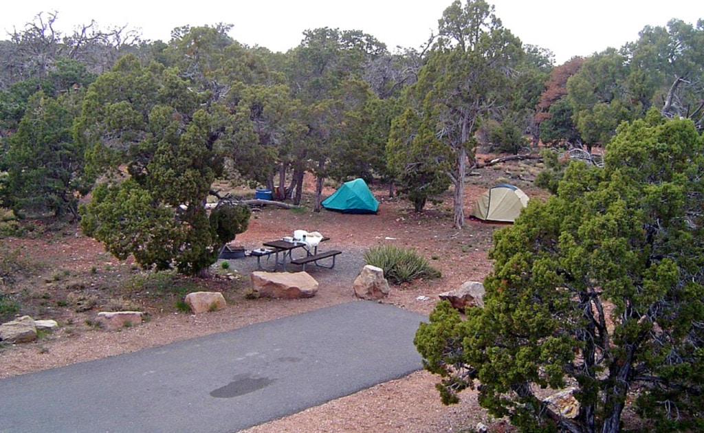
Mather is the best campground if you make reservations. But Desert View allows first-come, first-serve. With a permit, you can camp at the bottom of the canyon.
Thousands of species live in the park. Hidden among them are 14 endemic species and six endangered species. The humpback chub (Gila cypha) and razorback sucker (Xyrauchen texanus) are both.
2. Petrified Forest National Park
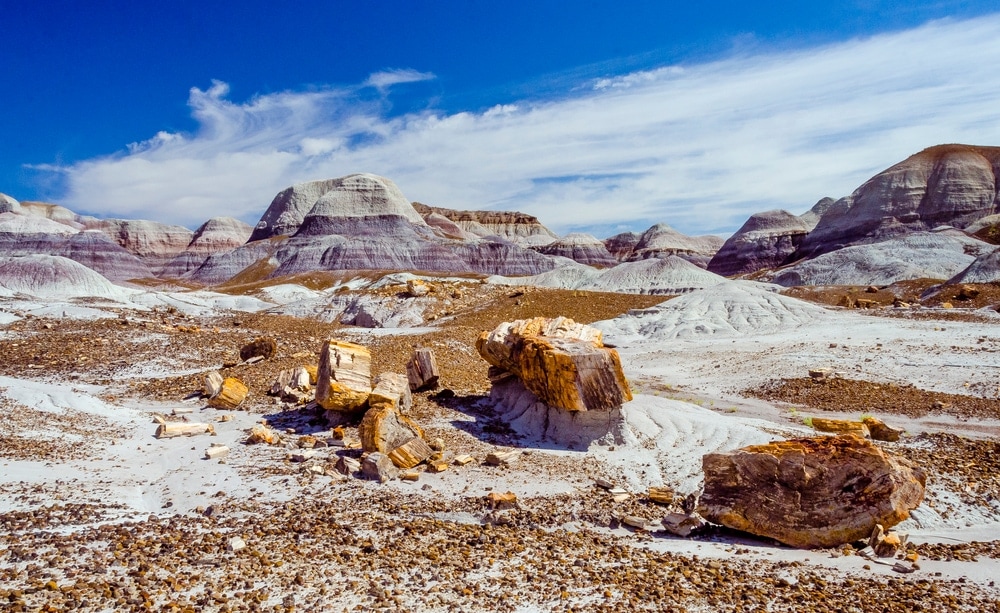
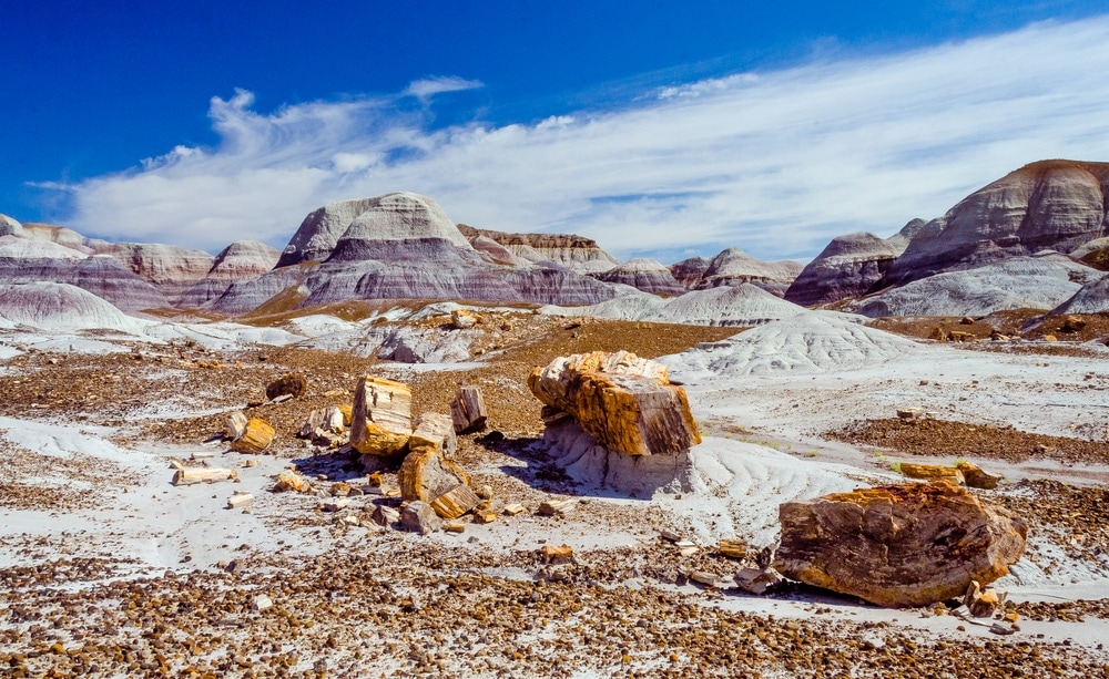
The Petrified Forest National Park is a land of stone tree trunks and colorful, banded mounds. Interstate 40 passes over it between Holbrook, Arizona, and the New Mexico border. It became a monument in 1906 and a park in 1962.
Some other parks have petrified trees here and there, but Petrified Forest is full of them. It’s 200,000 acres (80,931 hectares) full of petrified logs, stumps, fronds, leaves, and pollen.
Most of the plants were coniferous trees, tree ferns, and ginkgoes. They now go by Araucarioxylon arizonicum. Around 200 million years ago, they fell into a river and got buried deep and quick. The lack of oxygen altered decomposition to take centuries.
Over time, silica from volcanic ash seeped into pores. It replaced the cells, thus crystallizing them. The resulting quartz gets its colors from impurities like iron, carbon, and manganese.
The landscape is known as the Painted Desert Badlands. Bentonite, a clay altered from volcanic ash, creates all the banded colors.
The wet clay can expand as much as eight times the size it was when dry. That expansion-contraction pattern leads to erosion and the formation of badlands.
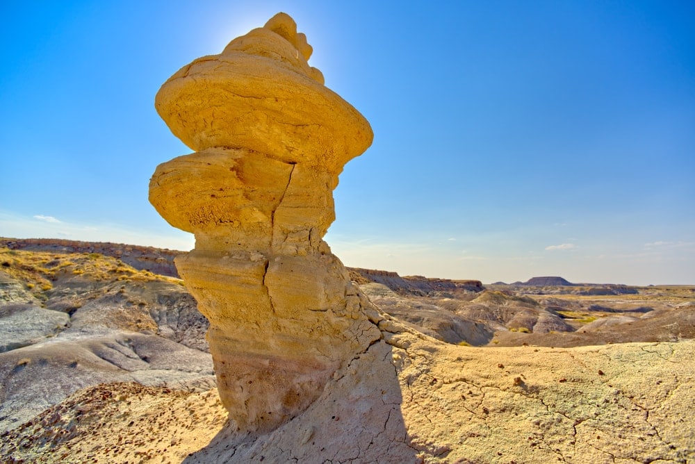
For a hiking tour of scenery, Red Basin Trail has everything. It has petrified wood, petroglyphs, hoodoos, and clam beds. Petroglyphs are ancient rock carvings.
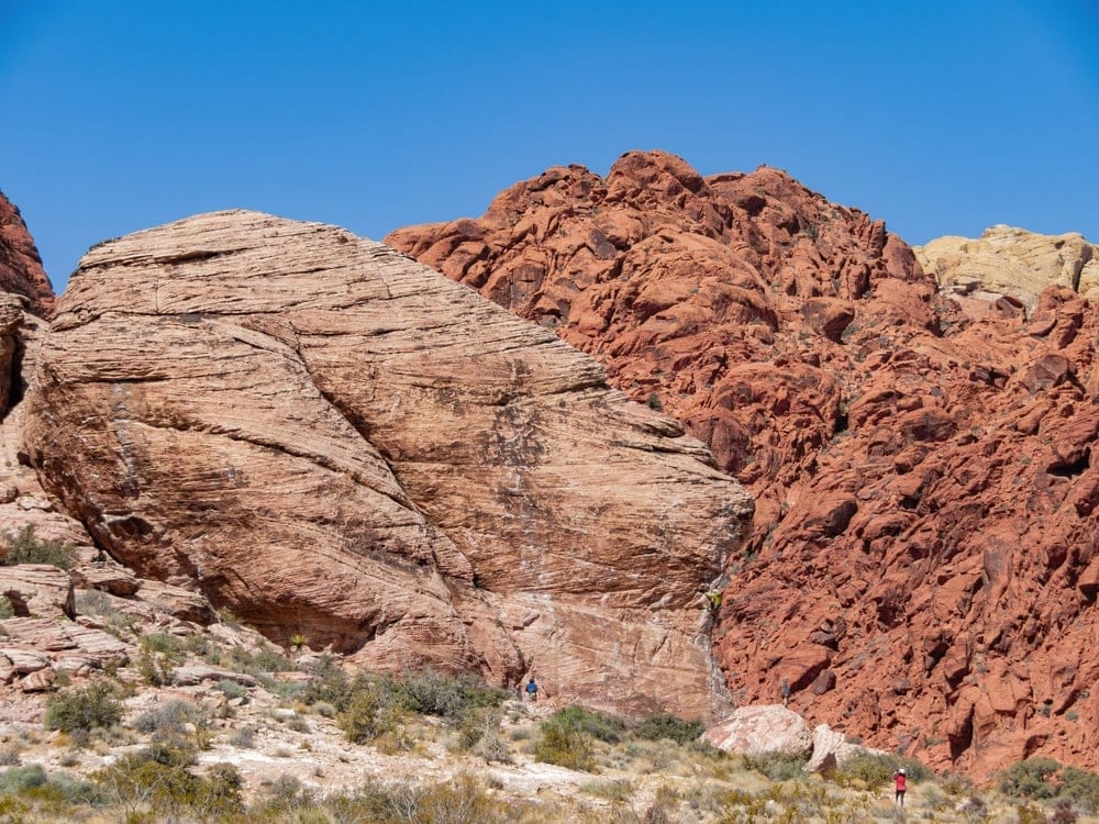
Hoodoos are rock towers with thicker rock on top. These and fossil clam beds make this trail different from the rest.
Petrified Forest National Park has no camping. But you can drive to the Petrified Forest National Wilderness Area for camping. Park off the side of the road, and walk at least one mile away.
The best time to visit is after rain in May, July, or August, when the flowers bloom and the colored rocks cast a deeper hue.
3. Saguaro National Park
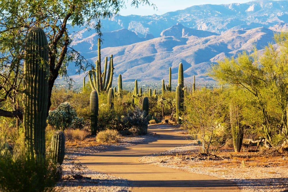
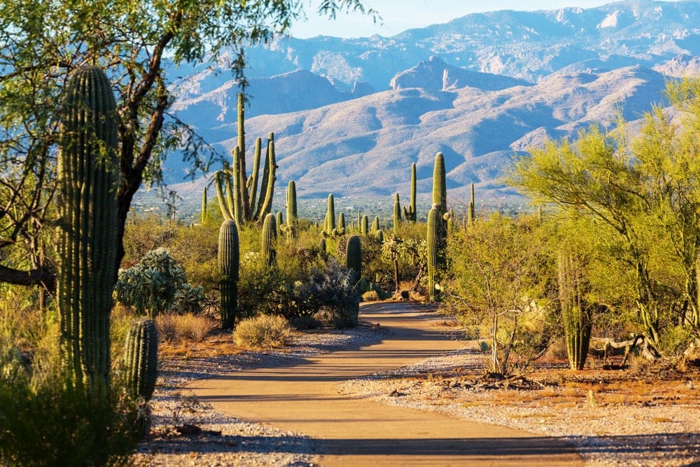
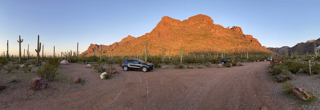
Saguaro National Park is like a cacti forest. The main park is east of Tucson, but a section joins the Tucson Mountain District west of the city. It was made into a national monument in 1933 and upgraded to a national park in 1994.
The saguaro is the largest cactus in the world. It often grows up to 60 feet (18 meters), can live to 200 years, and is iconic to the American Southwest. Their weight and width vary with the water they hold and can reach 4,800 lbs (2,177 kg).
Gila woodpeckers (Melanerpes uropygialis) nest in saguaros.
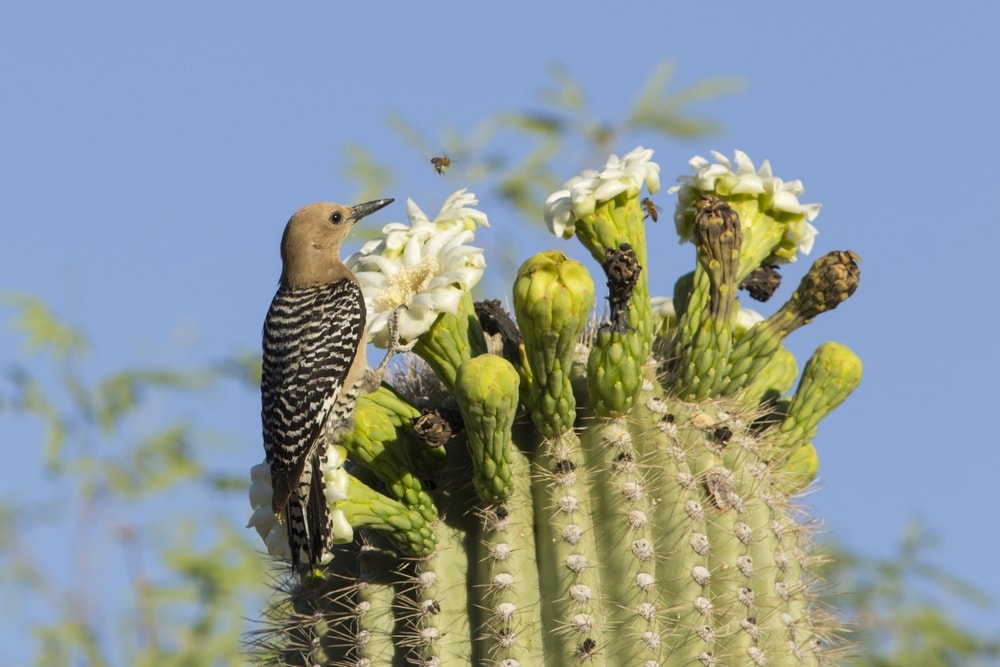
The dominant roots grow a few inches deep but radiate to capture brief water chances. Yet one taproot goes deep for long-term options.
Saguaro has 171 miles (275 kilometers) of hiking trails. The Sendero Esperanza Trail to the Ridge is 3.4 miles (6 kilometers). The section to Wasson Peak is 8 miles (13 kilometers) and leads you to a vista of the western park district. For camping, the eastern park district has six backcountry sites.
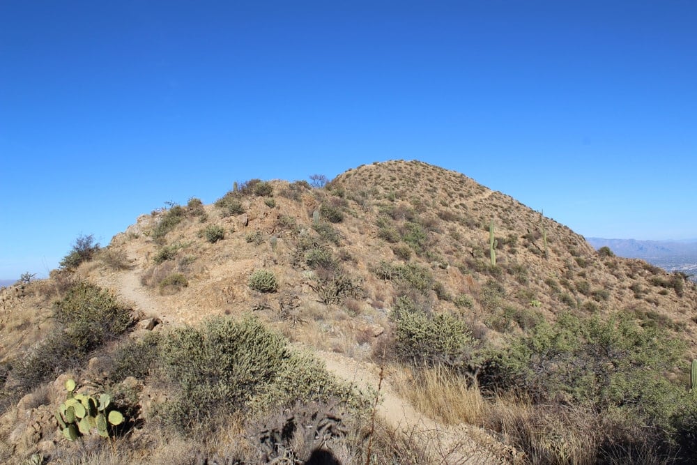
The best time to visit is April to June. The saguaro flowers during this time, and it’s neither hot nor cold. The higher elevations of the park range from 4,800 feet (1,463 meters) to 7,900 feet (2,408 meters) and can get snow.
4. Chiricahua National Monument
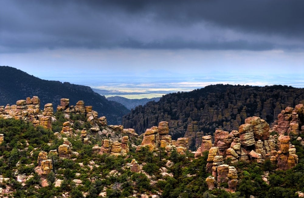
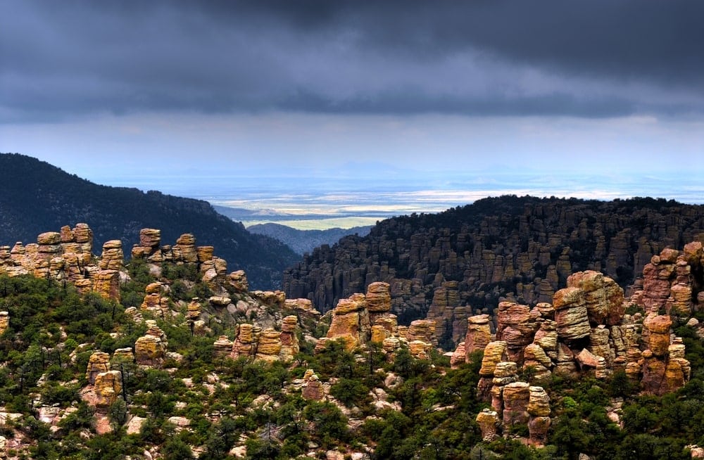
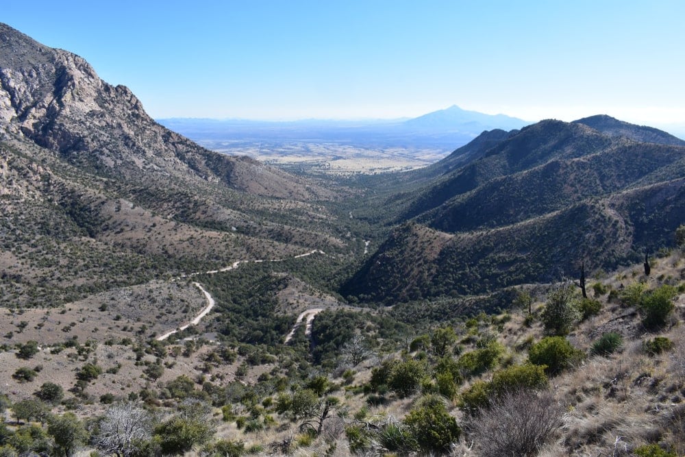
Chiricahua National Monument is like the volcanic, lesser-known sibling of Bryce Canyon. Chiricahua has dark columnar rocks all over. Any hiking trail will show you a vista of these rocks or take you between them. But 4 mile (7 kilometers) Echo Canyon Loop is the most popular.
The park, established in 1924, lies near Willcox off of Interstate 10 before the New Mexico border. To date, it’s barely more than 12,000 acres (4,856 hectares), yet packs an experience that only the unusual landscape can provide.
The columnar rocks are known as Rhyolite formations. They came from lava flows. Besides columns, they developed grottos, shallow caves, chasms, and the old caldera. The park sits where five watersheds meet. It has lots of water, though underground.
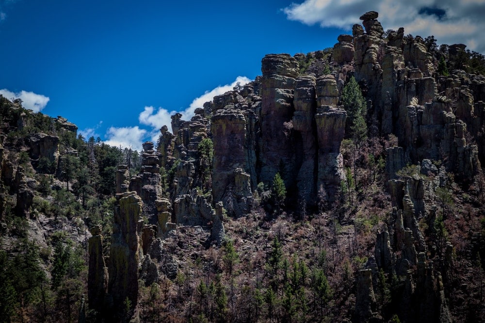
Depending on where you are in Chiricahua, you can be anywhere from 5,000 feet (1,524 meters) in elevation to 7,000 (2,133 meters). This drastic elevation change in a small area surrounded by flat desert led to the term “sky island.”
The one campsite, Bonita Canyon Campground, lets you park your vehicle and tent in a pine and oak grove.
It’s also one of few places in the U.S. where your picnic may get interrupted by coatimundi (Nasua nasua). These creatures look like lemurs. You might also find the western Hercule beetle (Dynastes grantii). It’s one of the largest beetles in North America.
5. Grand Canyon-Parashant National Monument
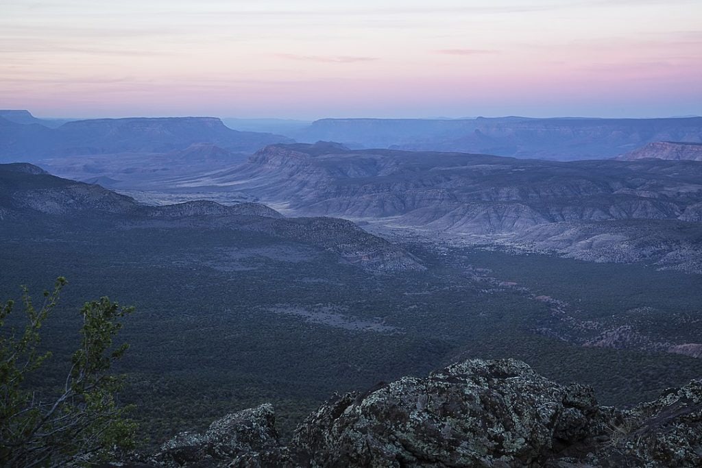
Grand-Canyon-Parashant National Monument shares many borders. It has them with Nevada, Lake Mead National Recreation Area, and Grand Canyon National Park. Unlike its park neighbors, you likely won’t find crowds here.
These 1,048,321 acres (424,421 hectares) became a part of the National Park Service in 2000, making it a youngster in the system.
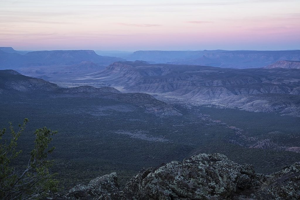
Lava flows here blocked the Colorado River to the Grand Canyon. After 5 million years, the region remains volcanically active.
Parashant is one of the most remote locations in the lower continental United States. With high elevation, lack of pollution, and clear weather, the park is ideal for astronomy. It even has a gold-tier status from the International Dark-Sky Association.
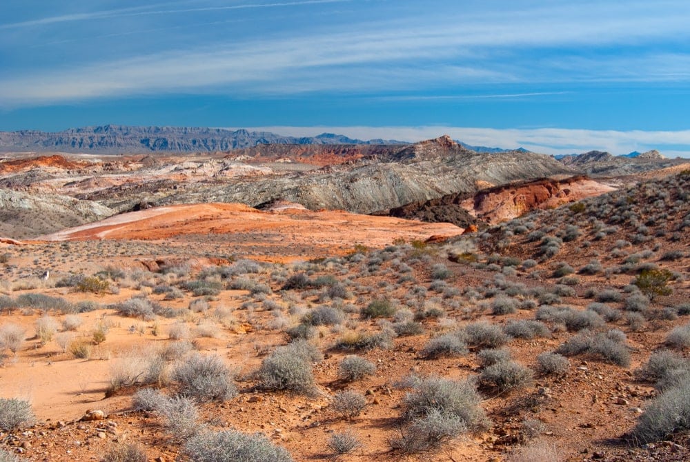
Its hiking trails tend to be around 5 miles (8 kilometers) long and go from the foot of a butte and across the top. From there, you can see various ecosystems.
Mt. Trumbull Summit Trail faces Colorado Plateau forests, while Mt. Bangs Summit Trail faces the flat Mojave Desert. But if you want terrain other than summits, Burnt Canyon Trail takes you through chasms.
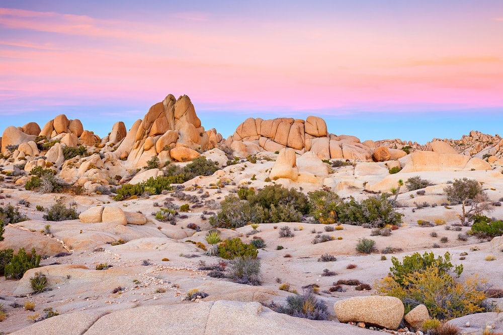
Parashant lacks campgrounds or designated backcountry sites. You are allowed to camp wherever.
Grand Canyon-Parashant is open year-round. The elevation differences mean you get a range of temperatures in every season. But because of how remote and rugged the park is, coming after a storm can mean facing inaccessible roads.
6. Organ Pipe Cactus National Monument
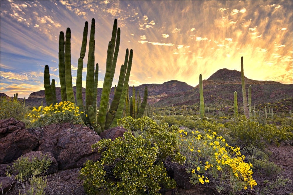
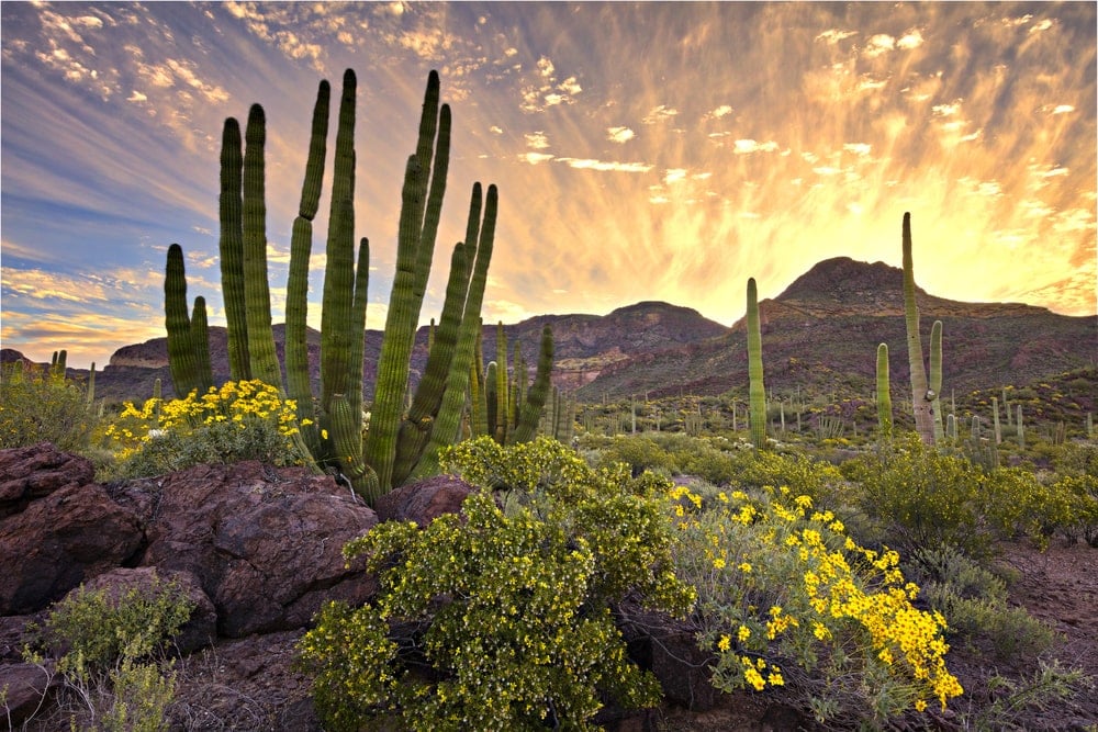
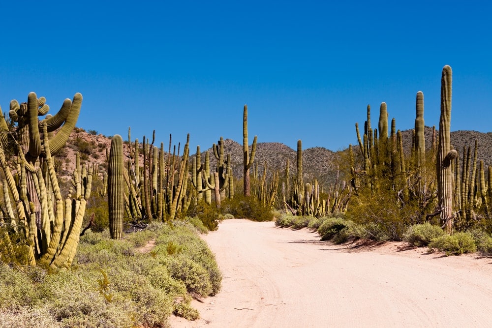
South of Ajo, Arizona, along U.S. Highway 85 and the Mexico Border, is Organ Pipe Cactus National Monument. It became a monument in 1937 and an International Biosphere Reserve in 1976. Its 330,000 acres (133,546 hectares) provide habitat for 31 species of cactus.
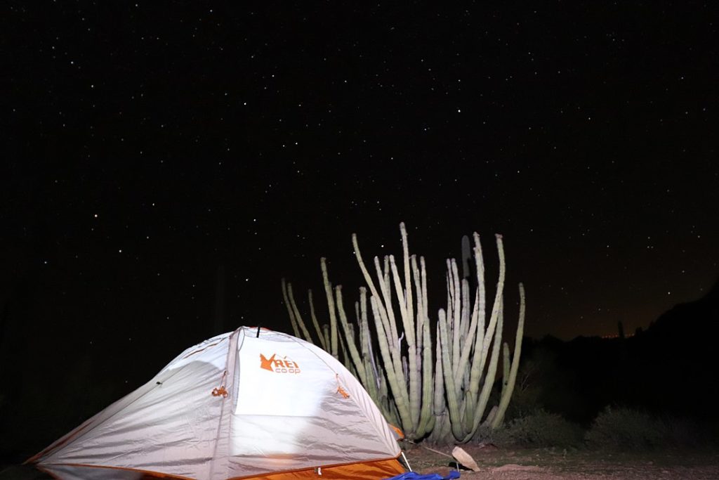
The organ pipe cactus (Stenocereus thurberi), a native of the Sonoran desert, earned its and the park’s name. It grows several upright arms like an old-fashioned organ instrument. These arms grow up to 26 feet (8 meters).
The volcanic landscape ranges from a lower alluvial plain shy of 1,000 feet (305 meters) in elevation to Mt. Ajo’s peak at 4,800 feet (1,463 meters). It also has double arches along Ajo Mountain Drive. If you visit between February and May with a wet winter and warm spring, you might see wildflowers.
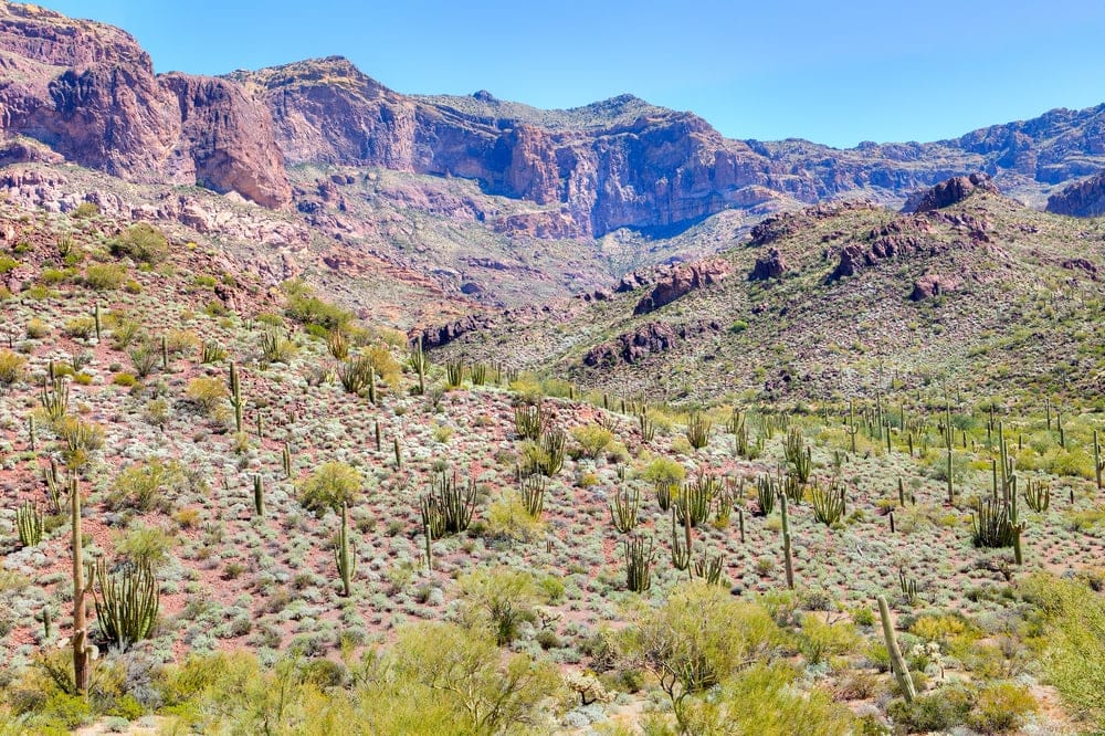
Several shorter trails situate around the visitor center. The longer ones lie along the mountain roads.
The 2.9 mile (5 kilometers) Senita Basin Loop leads you through an unusual area. It has all three columnar cacti proliferating around each other. These cacti are the saguaro (Carnegiea gigantea), the Senita (Pachycereus pringlei), and the organ pipe.
Tent campers have many options to set up. Twin Peaks is the only place for RVs. If you want more solitude, the Alamo Campground is for tents only. Further, the park has nine backcountry zones where you can camp.
Otherwise, you can enjoy the scenery while horseback riding or road biking. The rare elephant tree (Bursera microphylla) is in the park, as is the Gila monster (Heloderma suspectum).
7. Sunset Crater Volcano National Monument
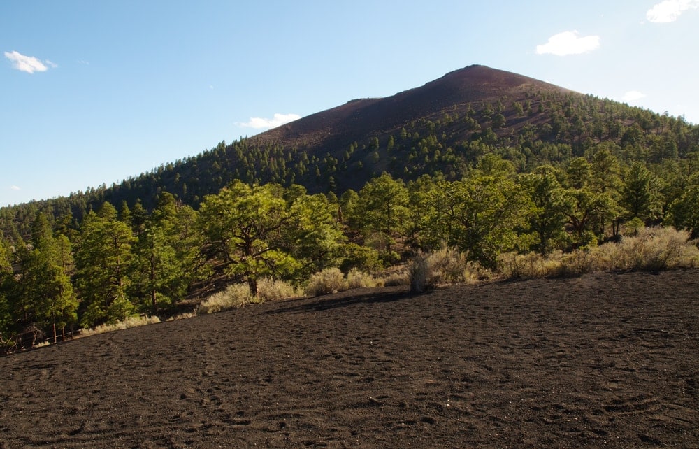
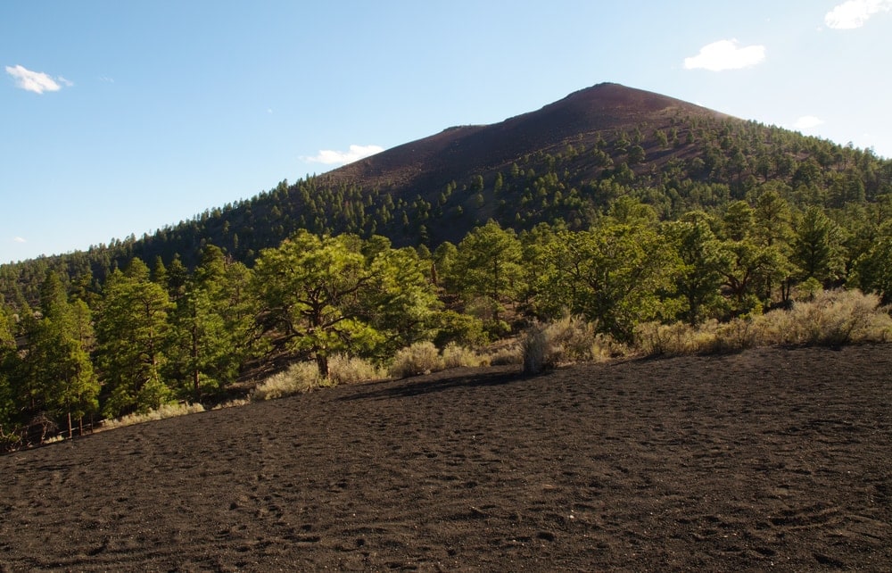
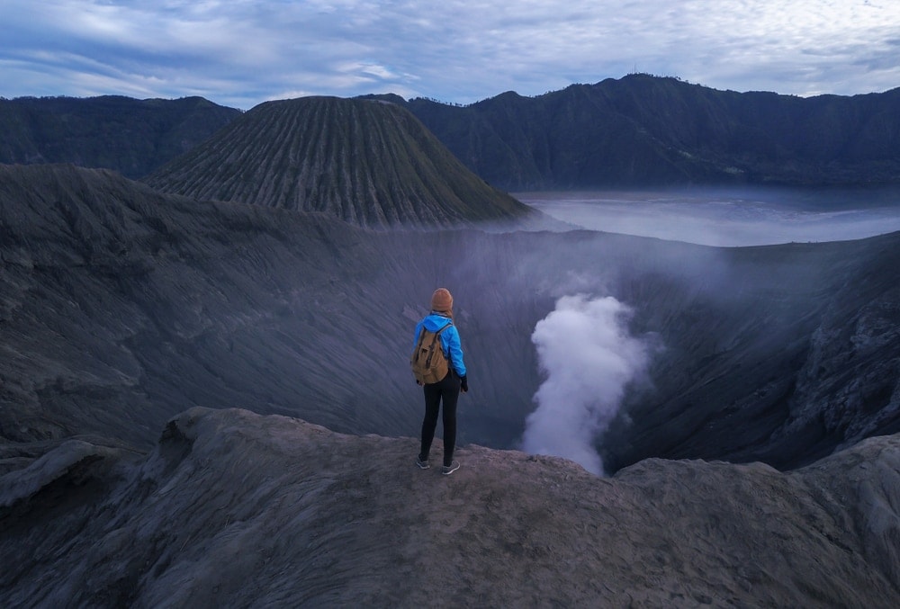
North of Flagstaff on U.S. Highway 89 is Sunset Crater Volcano National Monument. The mountain exploded in 1085. It left behind the current-day crater and a 6-mile (10 kilometers) long fissure. Lava covered 900 square miles (2,331 kilometers) of the landscape.
Volcanic regions like Sunset Crater provide unusual habitats for smaller animals. Arthropods, lizards, bats, and rodents use lava tubes. These are hollowed-out passages that lava once used.
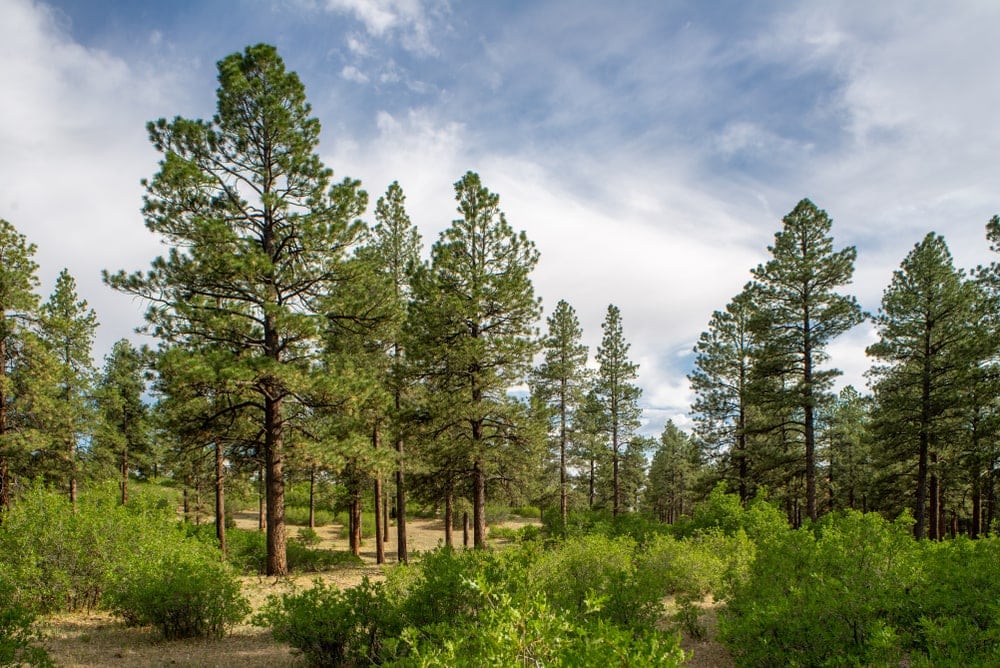
All the hiking trails showcase the volcanic landscape. Lava’s Edge Trail combines Ponderosa Pine woodland with jagged basalt terrain. It leads you 3.4 miles (5 kilometers) along the edge of both ecosystems.
The high elevation of the region can mean blizzards in the winter. For most activities, you will want to visit in any other season. And for camping, you will need to go to Bonito Campground in Coconino National Forest. The national monument lacks camping facilities.
8. Glen Canyon National Recreation Area
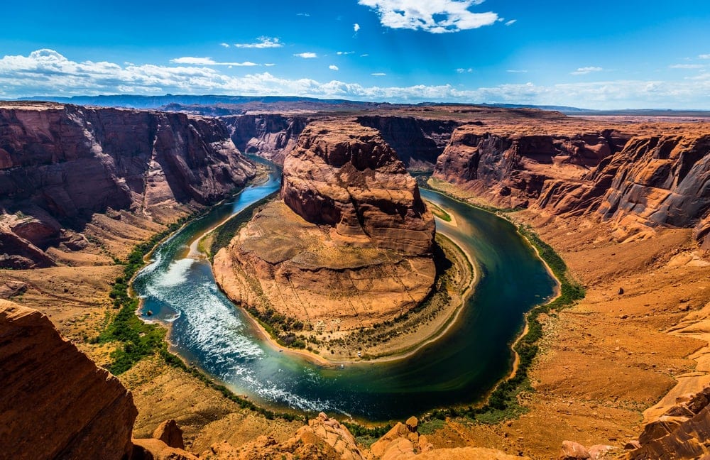
Up the Colorado River from the Grand Canyon is the Glen Canyon National Recreation Area. Its 1.25 million acres (505,858 hectares) are full of arches, canyons, and monuments. They were set aside for the National Park Service in 1972.
Most of the area lies on the Utah side of the border, yet many iconic trails and scenes are in Arizona.
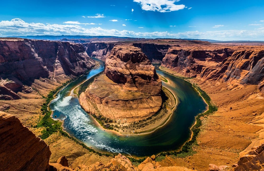
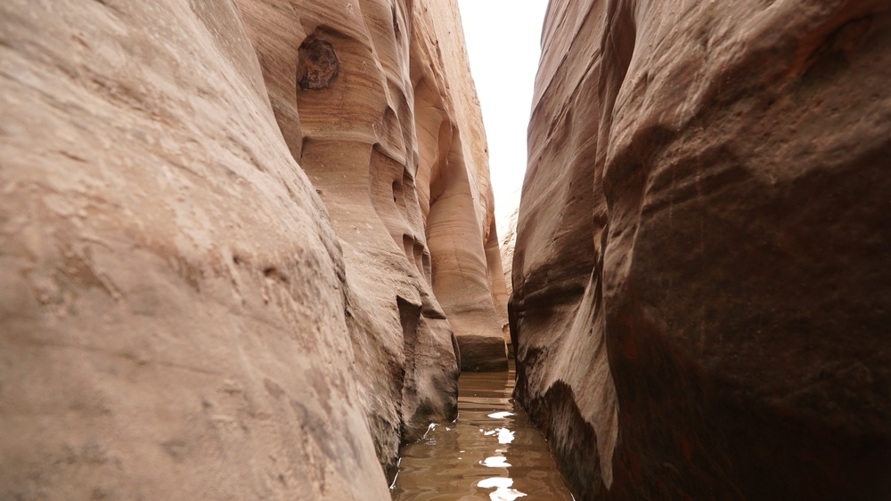
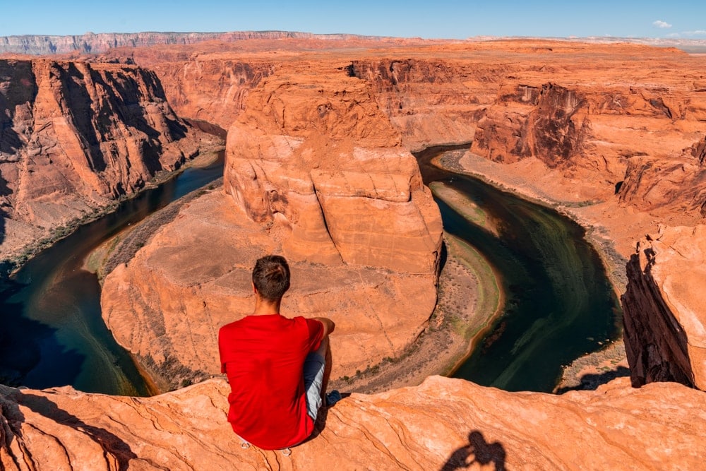
Horseshoe Bend Trail is 1.5 miles (2.4 kilometers). It ends at one of the most photographed American West landscapes–the top view of Horseshoe Bend. And if you want to see the area below, the Colorado River via Lees Ferry is 2.5 miles (4 kilometers).
Wahweap Campground lies on the shore of Lake Powell on the Arizona side. But if you prefer camping upriver and away from most motorboats, there is Lees Ferry in Marble Canyon. It is central to many hiking, paddling, swimming, and fishing areas.
Common fish to catch include largemouth bass, channel catfish, striped bass, and walleye.
This area of the Colorado Plateau has 875 plant species. For animals, it has 305 birds, 57 mammals, 26 fish, 27 reptiles, and seven amphibians.
But one exceptional species is the California condor (Gymnogyps californianus). It almost went extinct but was reintroduced to Glen Canyon in 1996. As of 2008, more birds were wild than were in captivity, with their population still growing.
9. Lake Mead National Recreation Area
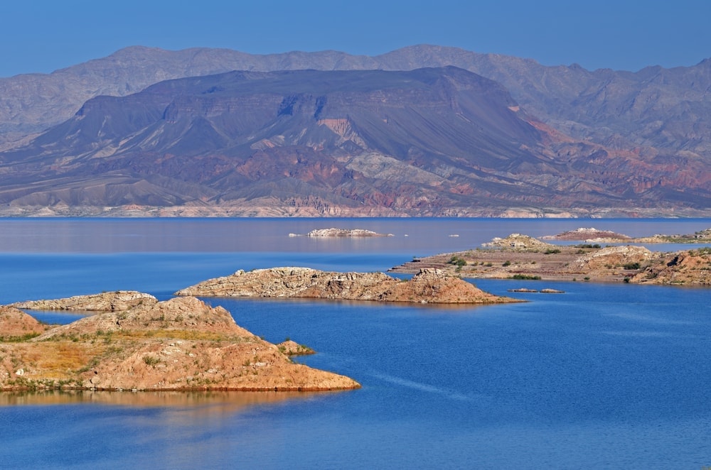
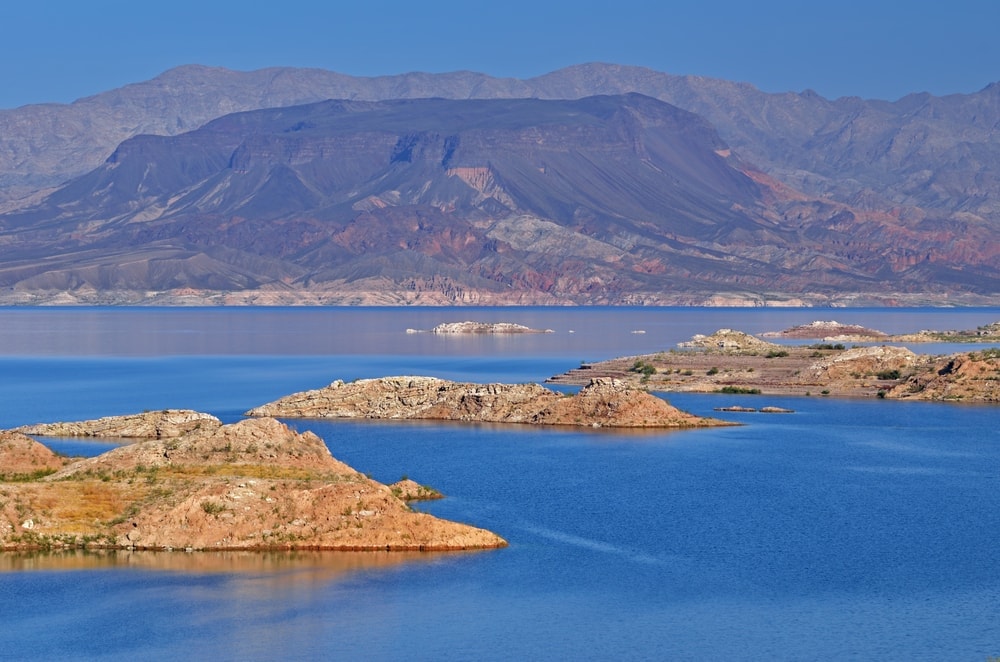
Lake Mead National Recreation Area lies on the Nevada-Arizona border. Part of the Mojave Desert, it offers more activities than any other Arizona national park. You can fish, swim, hike, horseback ride, and even scuba dive.
It is also the country’s first and largest national recreation area. It came to be in 1936 after the Hoover Dam was built. The Lake Mead name started in 1947, and it became a part of the National Park Service in 1964.
Lake Mead has 1.5 million acres (607,029 hectares). They include two massive lakes and many mountains and canyons. The northern and western sides of the park are in Nevada, close to Las Vegas. But the south and eastern sides are in Arizona.
The best hiking on the Arizona side is off U.S. Highway 93 east of the Hoover Dam. Several trails go into canyons and mountains, like Spooky Canyon and Cranes Nest Road.
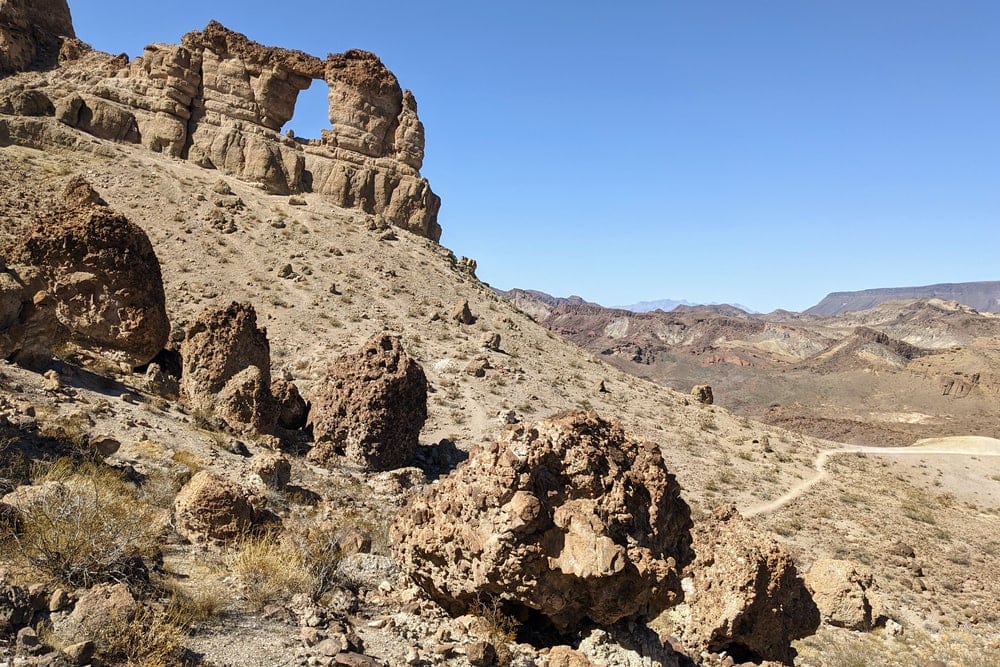
Other trails facing the water have vistas and access to the Colorado River. The overlapping Liberty Bell Arch and Arizona Hot Spring trails offer this.
Temple Bay Campground is on the southern shore of the eastern part of the park. It is the furthest camping area from Las Vegas and the main highways. Willow Beach Campground has paddling and hiking trails. This is also where the fish hatchery releases rainbow trout on Fridays.
10. Coronado National Memorial
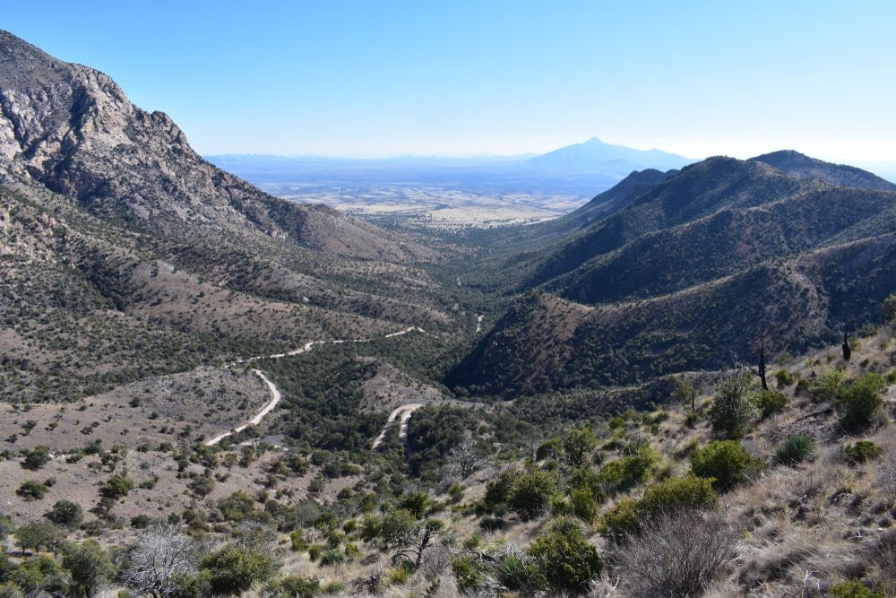
Coronado National Memorial recognizes Francisco Vázquez de Coronado’s expedition. He left Mexico with hundreds of European soldiers and Aztecs. Between 1540 and 1542, they traveled north across the desert mountains of Arizona, and northeast near Salina, Kansas.
The park sits between the U.S.-Mexico board and Hereford, Arizona. It became a national monument in 1952. It was once to be Coronado International Memorial with a park on the Mexican side of the border. That park never came to be.
Coronado is the park to visit for a caving hiking trail. Coronado Cave Trail takes you into the desert for half a mile (0.8 kilometers). Then it loops you through Coronado Cave for another half mile. You don’t need a permit, and you will see many karst formations like stalactites.
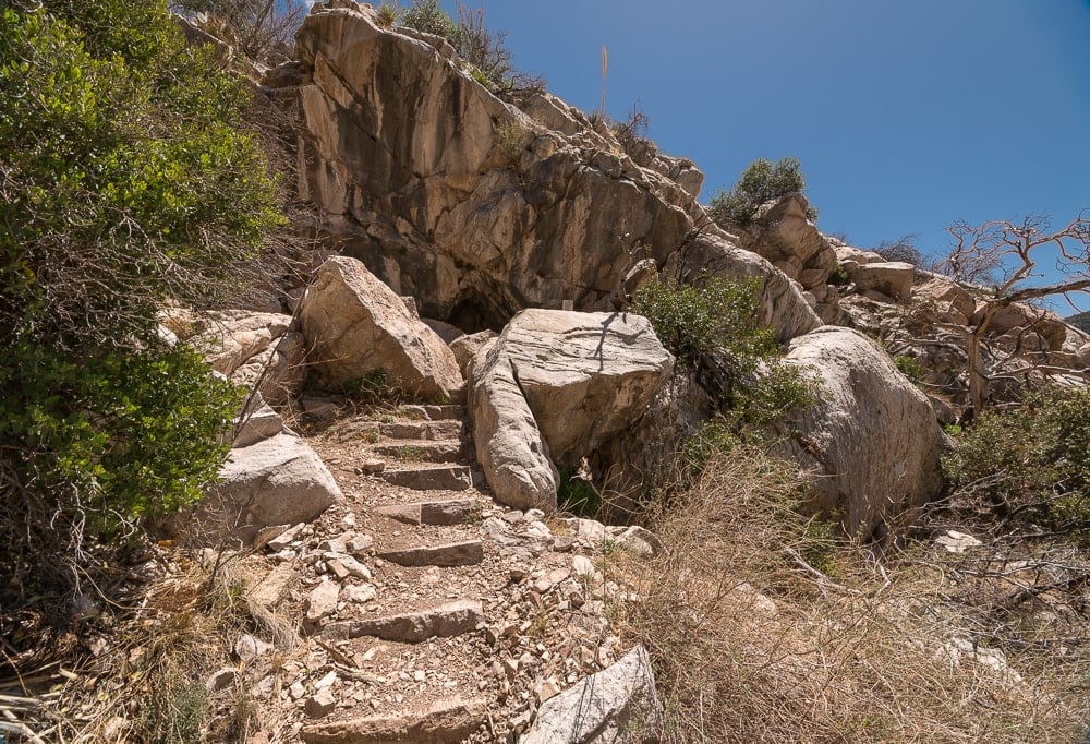
(CC BY-SA 4.0 / StellarD / wikimedia commons)
The park lies along a corridor for migrating monarch butterflies (Danaus plexippus). They feed on the ample milkweed in the park. Other wildlife includes 167 bird species, 59 mammals, and 29 reptiles and amphibians. Also, there are 645 plant species.
You may also like:
Arizona National Parks FAQ
Why are some desert areas considered “sensitive?”
Many desert areas have cryptobiotic crusts. These dark layers are made up of cyanobacteria, lichen, and mosses in the soil. They keep the soil in place, minimizing erosion.
They break under hard-soled boots. So campers and hikers need to stick to designated areas where the crusts are around.
Why do petrified trees look like they were logged?
Like how weathering causes rocks to split, stress splits petrified trees. The angle makes these trees look like they were logged with a chainsaw. Petrified trees were underground as tectonics pushed the land up. This created uneven pressure on the weak quartz.


