Love it or hate it, precipitation is a fact of everyday life.
But, rain, sleet, hail, and snow are just a small fraction of all the different types of precipitation that we can experience here on Earth. In fact, there are nearly a dozen kinds of precipitation that you can experience in the mountains, each of which brings its own challenges for your adventures.
Indeed, whether you’re bummed to have rain on your hiking trip or you’re excited about the forecasted snowfall for your upcoming winter camping adventure, understanding the different types of precipitation is a must for any outdoor enthusiast.
To get you started, we’ve put together this guide to the 11 types of precipitation that you might experience during your travels.
In this article, we’ll introduce you to each of these unique meteorological phenomena. As an added bonus, we’ll even discuss some meteorological fun facts that you can share with your friends and family during your next outdoor adventure.
Let’s get started!
What Is Precipitation?
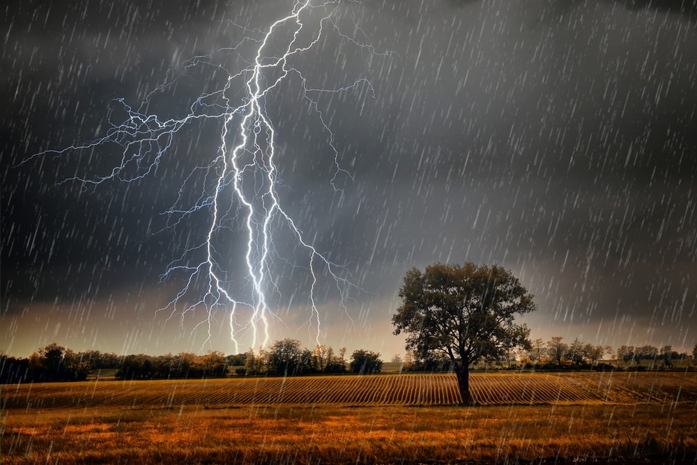
Before we get too far ahead of ourselves here, let’s briefly define what precipitation even is. Simply put, precipitation is any kind of liquid or solid water that falls to the ground from the atmosphere.
Precipitation can take many different forms (more on that in a bit). But, all types of precipitation play a critical role in the Earth’s water cycle.
As part of the water cycle, water on the surface of the Earth evaporates up from the ground into the atmosphere above. Then, that water cools and condenses into different types of clouds in the atmosphere. Finally, when those water droplets get so large that the atmosphere can no longer support their weight, they fall from the ground in the form that we know as precipitation.
For more information on the basics of precipitation and its role in the water cycle, check out this awesome video from the National Science Foundation:
11 Types of Precipitation
As we’ve mentioned, there are many different types of precipitation—11 types, to be precise.
In fact, while many of us might look up at grey, cloudy skies and automatically think that rain is on the horizon, the reality is that the water that falls to the ground could arrive in one of a number of different forms.
Since each type of precipitation creates its own hazards, understanding the differences between these kinds of precipitation is all the more important for keen hikers and climbers.
To ensure that you know what to expect when foul weather arrives during your trip into the mountains, here are the 11 types of precipitation that you ought to be aware of. Up next, we’ll offer a detailed look at each precipitation type so that you can be more knowledgeable about the world around you.
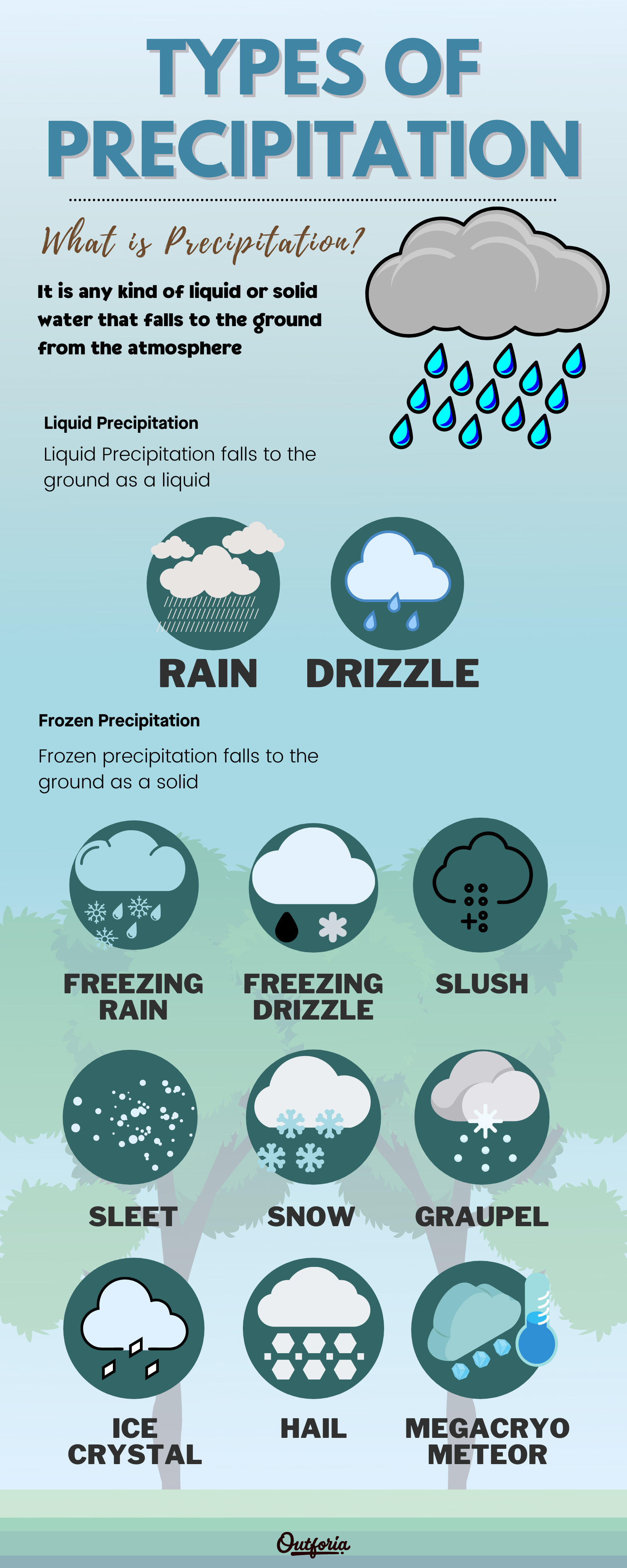
Share This Image On Your Site
<a href="https://outforia.com/types-of-precipitation/"><img style="width:100%;" src="https://outforia.com/wp-content/uploads/2021/04/Types-of-precipitation-infographic-2.png"></a><br>Precipitation Infographic by <a href="https://outforia.com">Outforia</a>Liquid Precipitation
Meteorologists can broadly categorize precipitation into one of two groups: liquid and frozen. As you can probably imagine, liquid precipitation falls to the ground as a liquid while frozen precipitation falls to the ground as a solid.
Interestingly, there are many more types of frozen precipitation than there are liquid types. So, here’s a quick look at the two forms of liquid precipitation.
1. Rain
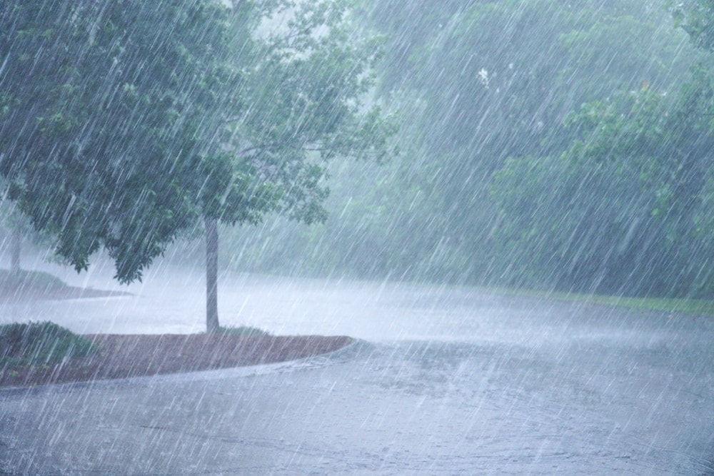
Our first type of precipitation is one that most people are very familiar with: rain. Unless you happen to live in one of the world’s very dry desert environments, chances are pretty high that you’ve seen rain at least once in your life.
But what exactly is rain, you might ask?
Essentially, rain is liquid precipitation. Or, in other words, rain is water that falls from the sky when clouds become saturated with droplets of water.
Clouds become saturated when the water droplets in the clouds get so large and heavy that they can no longer stay suspended in the air. Now, this is a bit of a simplification of what happens in the atmosphere, but it’s a good conceptual model of how rain forms if we want to avoid getting into some pretty tricky physics.
It is worth noting, however, that many raindrops begin their lives as ice crystals. Indeed, even though rain is a type of liquid precipitation, the droplets themselves simply need to be liquid by the time they hit the ground.
Higher up in the atmosphere, those same raindrops you see hitting the ground may have started their lives as snow. But, so long as the temperature throughout a relatively large portion of the lower atmosphere is above the freezing point (32ºF/0ºC), then the precipitation will fall as rain. It’s as simple as that.
2. Drizzle
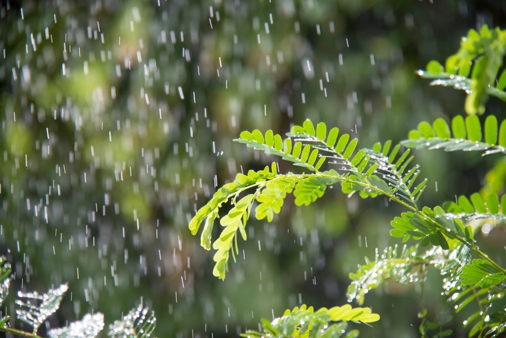
If you’ve ever used the term “drizzle” to describe the weather outside, you may think that it’s simply a colloquial term for light rain. While you’re right that a drizzle is a type of light rain, there’s actually a fairly specific definition of what constitutes a drizzle within the meteorological community.
In fact, a drizzle is technically defined as liquid precipitation where the individual water drops are no larger than about 0.2 to 0.5 millimeters in size. Any larger than that, and we’d normally classify the precipitation as rain.
Of course, we don’t expect you to go outside with a very small ruler to measure the precipitation and determine if it’s raining or drizzling. So, if you simply want to use the term “drizzle” to refer to all instances of light rain, you’re more than welcome to do so.
We should mention, though, that drizzle drops are just large enough to fall out of suspension in a cloud in certain atmospheric conditions. In reality, drizzle drops are just slightly larger than cloud droplets. So, whether or not a drizzle will actually happen is a matter of a few tenths of a millimeter.
Interestingly, drizzle is usually associated with fog, but you may see it fall from stratus clouds. That being said, stratus clouds aren’t often accompanied by precipitation, so seeing drizzle from these clouds is a somewhat rare phenomenon.
Frozen Precipitation
Now that we’ve covered our two types of liquid precipitation, it’s time to dive into the world of frozen precipitation. There are many different types of frozen precipitation out there, each of which forms in specific atmospheric conditions. Here’s what you need to know:
1. Freezing Rain
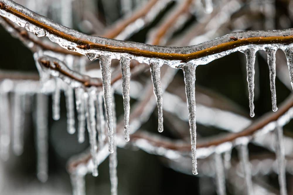
If you’ve ever been caught out in a freezing rainstorm, you know how dangerous this type of precipitation can be. As the name suggests, freezing rain is a type of frozen rain. However, freezing rain isn’t frozen for its entire journey from the cloud to the ground.
Rather, most freezing rain starts its life in the clouds as snow. Then, if the snow encounters a relatively warm layer of the atmosphere on its way to the ground, the stage is set for the formation of freezing rain.
So long as this warm layer of the atmosphere is above freezing (32ºF/0ºC), that snow will melt into rain. The key with freezing rain, however, is that these same raindrops then need to enter a layer of sub-freezing air right above the ground.
If this layer of sub-freezing air near the ground is relatively small, the raindrops won’t have time to refreeze before they hit the ground. When this happens, the water will actually freeze on contact with the ground or whatever surface that it hits first, be that your car, the road, or a tree, creating freezing rain.
As you can imagine, having rain that freezes on contact with the ground is not a safe situation. Getting caught out in a freezing rainstorm is particularly dangerous, so please take care if you find yourself driving in these conditions.
In some instances, the icing of the Earth’s surface caused by frozen rain can be so severe that we call it an ice storm. The US National Weather Service defines ice storms as any situation where freezing rain causes an accumulation of at least 0.25 inches (6.4 mm) of ice on any exposed surface.
While ice storms themselves are not technically considered to be severe weather, they can cause some major problems. In particular, the ice that accumulates on trees can cause tree branches to fall, damaging buildings. Alternatively, ice can break power lines and other utility lines in severe storms. So, take care whenever an ice storm is in the forecast.
2. Freezing Drizzle
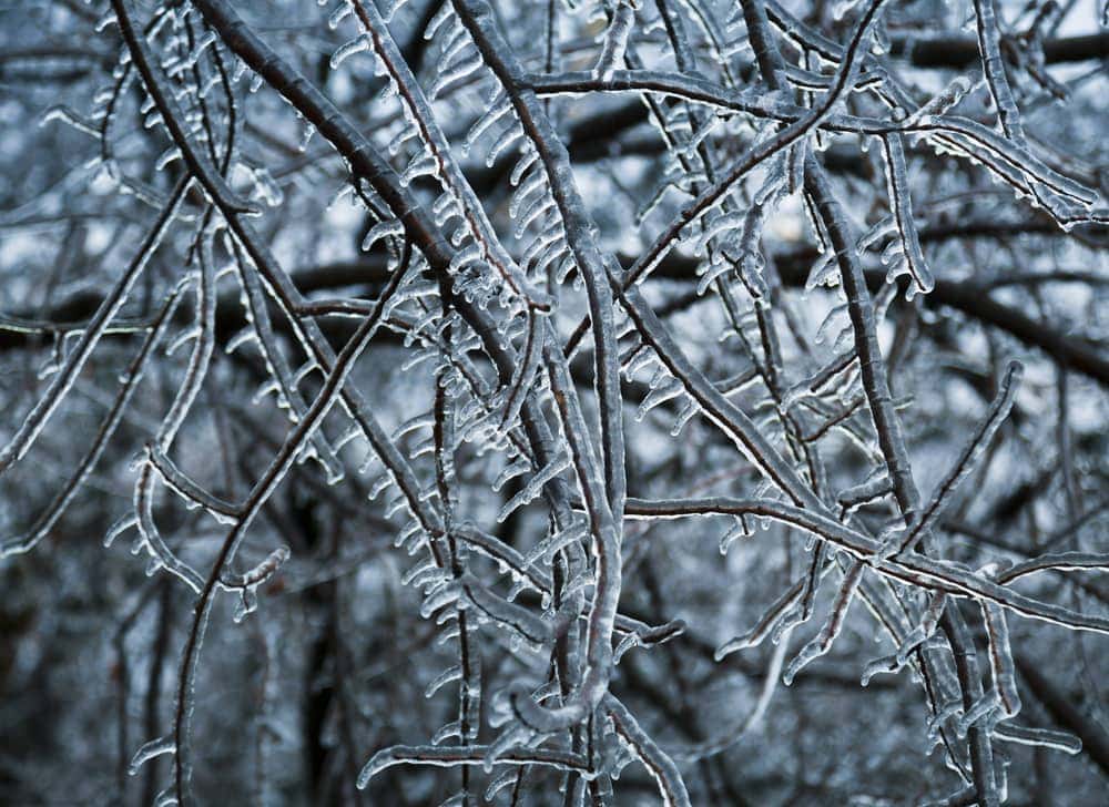
As with the distinction between rain and drizzle, the distinction between freezing rain and freezing drizzle is really a matter of size. Freezing drizzle generally occurs with very small droplets of water, like what we see with liquid drizzle.
While you might not necessarily be able to tell the difference between freezing drizzle and freezing rain without a microscope and some measuring devices, freezing drizzle is quite common in humid environments where cold temperatures are the norm in the winter months.
Freezing drizzle is particularly common in parts of northern Atlantic Canada, especially around the island of Newfoundland. You can also see it in places like the Great Lakes region of North America, in the New England region of the United States, and in parts of the eastern Appalachian Mountains.
Furthermore, freezing drizzle can also happen in parts of the southeastern United States, where it wreaks havoc on local highways. Indeed, freezing drizzle has been implicated in many car crashes during the winter months in this part of the world, so please be careful when driving in these conditions.
3. Slush
While slush might also be the name of a frozen drink that you get at a gas station, the meteorological community has a very specific definition of what slush is.
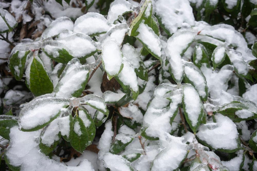
Technically speaking, slush (also called rain and snow mixed) is precipitation that’s composed of a blend of partially melted snow and rain. This kind of precipitation is usually fairly mushy and translucent and it rarely freezes when it hits the ground, like what you’d see with freezing rain.
Sometimes, slush serves as a transitional precipitation between snow and rain. For example, if the temperature starts to warm, pure snowfall might transition into rain or vice versa.
We should mention, though, that slush is actually called sleet in some parts of the world. In particular, the United Kingdom and many Commonwealth countries call this form of precipitation “sleet,” which is a bit confusing. Therefore, be cautious when discussing slush with people from around the world to ensure that you’re all on the same page.
4. Sleet (Ice Pellets)
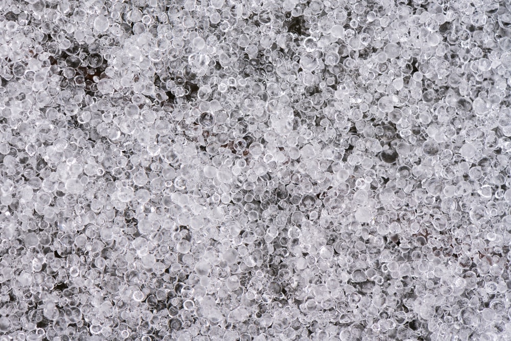
In the United States, sleet is a type of frozen precipitation. As we mentioned in our discussion on slush, some parts of the world use the word “sleet” to refer to different types of precipitation. But, we’ll focus on the American definition of sleet here.
If you understand how freezing rain forms, you’re well prepared to understand the formation of sleet. In fact, these two types of precipitation form much in the same way. The difference is that sleet has substantially more time to refreeze before hitting the ground.
In particular, most sleet starts its life in the cloud as snow. As the snow falls, it encounters a layer of warm air in the lower troposphere. This warm air partially melts the snow into rain, which continues its way down to the ground.
If those raindrops then encounter a thick layer of cold air above the ground, they will then refreeze. When this happens, the rain forms ice pellets, which are also known as sleet.
The key point here is that sleet requires a thick layer of cold air above the ground in order for it to form as ice pellets. Meanwhile, freezing rain requires a thinner layer of cold air above the ground so that it doesn’t freeze until it hits the ground.
However, we should say that large amounts of sleet can look a whole lot like snow. But, if you look at them closely, you’ll notice that sleet doesn’t have the same beautiful crystalline shape as a snowflake.
5. Snow
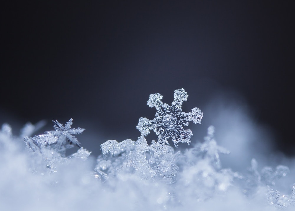
We’ve mentioned snow quite a few times so far, but now it’s time to get into the nitty-gritty details of what snow actually is.
Snow can technically be defined as any type of ice crystal that falls to the ground. We could technically classify sleet or graupel (more on that in a bit) as a type of snow.
But, most people narrow this definition of snow quite a bit in day-to-day life. In general, we would use the term “snow” to refer to snowflakes, which are clusters of ice crystals that fall from clouds.
Snowflakes generally have six-fold symmetry. The physics of how this all works is a bit beyond the scope of this article. However, the idea is that the individual water molecules in snow bond together in a specific crystalline structure that’s shaped like a hexagon.
Therefore, snowflakes usually grow to have six-fold symmetry, though rapidly changing atmospheric conditions or collisions with other snowflakes can cause variations in this structure.
If you’d like a nice visual of how snowflakes form, check out this video from NASA’s Goddard Institute:
6. Graupel (Snow Pellets)
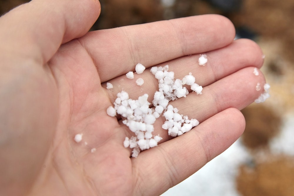
One of the lesser-known types of precipitation among the general public, graupel is a unique type of snow.
Graupel, or snow pellets, forms when individual snowflakes turn into rounded pellets of about 0.1 to 0.2 inches (2 to 5 mm) in size through the process of rime ice accumulation.
At this point, you might be asking yourself, “what is rime ice?” Basically, rime ice is ice that forms as supercooled droplets of water in the atmosphere freeze onto a surface. In some places, rime ice can create these amazing ice sculptures as the ice accumulates onto itself.
This is particularly common on trail signs and buildings at high, exposed elevations, such as what you see in this video of a rime ice sculpture at the summit of Mount Washington in the US state of New Hampshire:
The process that creates these magnificent rime ice sculptures on Mount Washington is more or less the same as the process that creates graupel, albeit on a much smaller scale. Instead of accumulating on a road sign, rime ice accumulates on individual snowflakes, forming tiny ice balls that fall from the sky.
While these small ice pellets often look like hail, they are not the same thing (more on that in a bit). Although we’ll have an in-depth discussion of hail very soon, here’s a nice description of the differences between graupel and hail from the meteorologists at ABC to get you started:
7. Ice Crystals (Diamond Dust)
Arguably the rarest type of precipitation on our list, ice crystals are a meteorological phenomenon that you’ll only see in very cold climates.
According to the folks at the World Meteorological Organization, diamond dust is usually only found in high alpine or polar environments. It is defined as precipitation that falls as super tiny ice crystals.
These ice crystals usually fall from a clear blue sky. Since they fall so slowly, they often look like they’re suspended in the sky. Furthermore, since these ice crystals fall in sunny conditions, they tend to glisten as they descend to the ground, creating a magical sparkling phenomenon that’s sure to be a moment to remember.
Most ice crystals that fall as part of diamond dust are smaller than 0.1 mm in diameter. These crystals usually form in conditions where the temperature is less than 14ºF (-10ºC) and they’re more common when the air temperature is cooling very, very quickly.
Since diamond dust is so rare, it’s hard to find quality photos of it to help you picture what it looks like. However, you can check out this video from the Smithsonian that showcases the formation of diamond dust in Yellowstone National Park during a particularly cold day:
8. Hail
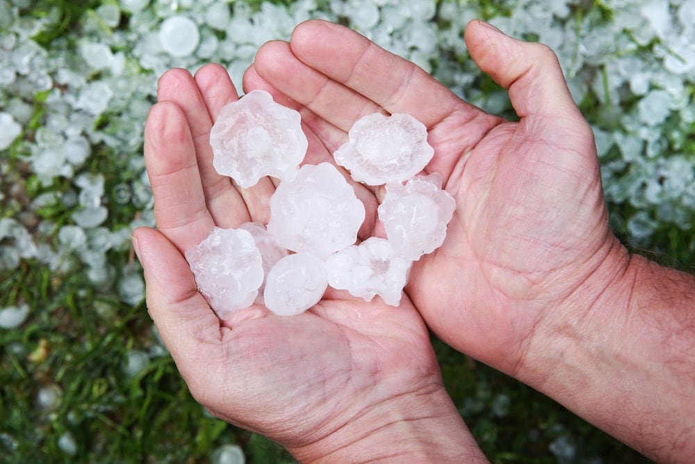
Unlike all of the other forms of frozen precipitation that we’ve discussed thus far, hail is not a type of winter phenomenon. In fact, hail is the one type of frozen precipitation that’s more likely to happen in the summer months than in the winter months.
Confused as to how frozen precipitation can form in the midsummer heat? Well, it all has to do with how hail forms in the first place.
Unlike most other types of frozen precipitation, hail doesn’t form in a nimbostratus cloud. Rather, hail generally forms in cumulonimbus clouds.
These cumulonimbus clouds (sometimes called thunderstorm clouds) often have very strong updrafts, which are upward-moving channels of fast wind. As these updrafts move air upward, they bring with them raindrops. Since air is usually colder higher up in the troposphere, these raindrops then freeze.
Eventually, the frozen raindrop starts to fall, either as a result of its own heavy weight or as the result of a strong downdraft. As the frozen raindrop reaches the bottom of the cloud, it may get pushed back upward by an updraft. Should this happen, the raindrop would then bounce into other water droplets that will immediately freeze on its surface.
After a few rounds of moving up and down in the cloud, this raindrop will turn into hail. This hail will grow in size with every updraft as each updraft exposes it to a new layer of rain that can freeze to its surface.
Over time, the hail will eventually become so heavy that it falls out of suspension. If this happens, the hail will fall to the ground, usually as part of a severe thunderstorm.
Very large hailstones can cause serious damage to cars, homes, and other human structures. Some particularly large hail storms can also hurt people as they fall, so be sure to take cover whenever a serious thunderstorm is in your vicinity.
9. Megacryometeor
Last but not least, our final form of precipitation is the megacryometeor.
If you’re not already a meteorologist, chances are pretty high that you’ve never heard of a megacryometeor before. Megacryometeors are actually a source of some controversy in the meteorological community because we still don’t know a lot about where they come from.
What we do know is that megacryometeors are very large pieces of ice that fall from the sky. These pieces of ice do look a lot like hailstones, but they often fall in clear-sky conditions in the absence of a cumulonimbus cloud. They also tend to be very large, with some megacryometeors measuring many dozens of pounds in mass.
These days, there’s some speculation that megacryometeors might come from aircraft. However, there are recorded megacryometeor sightings that long pre-date the investigation of planes. Therefore, more research is needed to better understand the formation of these massive chunks of ice.
You may also like: 24 Magnificent Kinds of Clouds – Classification, Pictures, Infographic and More Facts!
Precipitation World Records
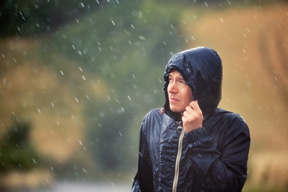
While no one particularly likes to get caught out in a storm, some precipitation events are a bit more notable than others.
In particular, some parts of the world have experienced precipitation that’s so severe that they’ve been immortalized in the official World Meteorological Organization’s World Weather & Climate Extremes Archives, which is the record-keeping organization for all things weather-related.
With that in mind, here are some fantastic precipitation world records that you ought to know so that you can impress your friends and family with all your meteorological know-how. (Please note that all world records and values are current as of April 2021.)
Rainfall World Records
A small drizzle here and there might not seem like much, but some places have experienced some truly amazing rainfall totals. Here’s a quick look at some of the most notable rainfall events ever recorded on planet Earth:
- Greatest 1 Minute Rainfall Total – 1.23 inches (31.2 mm) in Unionville, MD, USA
- Greatest 60 Minute Rainfall Total – 12 inches (305 mm) in Holt, MO, USA
- Greatest 12 Hour Rainfall Total – 45 inches (1.1 m) in Foc-Foc, La Réunion
- Greatest 24 Hour Rainfall Total – 71.8 inches (1.8 m) in Foc-Foc, La Réunion
- Greatest 48 Hour Rainfall Total – 98.15 inches (2.5 m) in Cherrapunji, India
Hail World Records
Technically speaking, the WMO only tracks one hail-related world record, namely that of the heaviest hailstone.
According to the WMO, the heaviest hailstone ever recorded was found in Gopalganj District, Bangladesh in 1986 and it weighed an impressive 2.25 lbs (1.02 kg). Needless to say, that’s not the type of hailstorm you want to live through. Unfortunately, that hailstorm did kill 92 people in Bangladesh, which just goes to show that hailstorms can be incredibly dangerous.
That being said, while the WMO doesn’t track other hail-related world records, other organizations around the world do.
It is widely believed that the world’s largest hailstone by diameter fell in Vivian, South Dakota, USA in 2010. This hailstone was 8 inches (20.3 cm) in diameter and it weighed nearly 2 lbs (907 g). However, there’s a chance that another hailstone that fell in Libya in 2020 may have surpassed the South Dakota hailstone for the world record.
There are many other informally tracked world records regarding hail, though these are a bit harder to quantify. For example, it’s believed that the costliest hailstorm on record occurred in the Great Plains of the US in 2001, which may have cost about $2.9 billion in 2021 dollars. But, such a record is hard to quantify due to the differences in costs of living around the world.
Snow World Records
Interestingly, the WMO doesn’t track snowfall records. This is likely due to the difficulty in assessing the true depth of a snowpack from place to place. Since the wind can easily blow snow from one location to another, getting a precise snowfall measurement isn’t easy.
In the United States, however, we do have a few snowfall records to keep in mind. One of the most impressive records is that of the greatest-ever recorded snow depth of 451 inches (11. m), which was recorded in Tamarack, California in 1911.
Meanwhile, the record for the largest ever 24-hour snowfall total in the world currently belongs to Capracotta, Italy, which saw 100.8 inches (256 cm) of snow fall in a single day in 2015. That’s a lot of snow!
You May Also Like: Discover the Amazing Different Types Of Plants Found On Earth with Photos, Infographics and More!
Precipitation FAQs
Here are our answers to some of your most commonly asked questions about the different types of precipitation:
Why Are Rain Drops Spherical?
While we often think of raindrops as teardrop-shaped, the reality is that raindrops are normally spherical or slightly potato-shaped.
Raindrops form these sphere shapes as a result of the counteracting forces of surface tension and air pressure. These forces work against each other to create tiny spheres that become oblique in shape as the raindrops increase in size.
Why Does Snow Form Instead Of Ice?
Snow is actually a collection of ice crystals that form a six-fold shape in the atmosphere. Therefore, snow doesn’t form “instead” of ice. Rather, snow is ice!
However, snow is different from other forms of frozen precipitation, such as hail, freezing rain, sleet, and graupel. These other types of precipitation form either through convection, thawing and refreezing, or the supercooling of water droplets.
Is Snow Just Frozen Rain?
Snow and frozen rain are not the same thing. The majority of precipitation starts as snow high up in the atmosphere. When this happens, the frozen water droplets take the crystalline shape of a snowflake.
However, snow may melt before it reaches the ground, forming rain. If the snow melts and then re-freezes before it hits the ground, it is often called frozen rain. Therefore, frozen rain is frozen precipitation that froze, melted, and then froze again before hitting the ground.
Why Are Snowflakes Symmetrical?
Snowflakes are symmetrical due to the bonds that water molecules make with each other as snowflakes form in the sky. These snowflakes create six-sided shapes due to the internal structures of water molecules, which forces the molecules to bond with each other in a very specific manner.
This process, known as crystallization, results in snowflakes that almost always have six-fold symmetry. Of course, if snowflakes collide with each other and break apart, they may not maintain this symmetry. But, snowflakes naturally form symmetrical structures.
Is It True That No Two Snowflakes Are The Same?
Although it is theoretically possible for two snowflakes to be the same, the chances of this happening are infinitesimally small. Since snowflakes develop their crystalline patterns as a result of the temperature and humidity of the surrounding environment, the likelihood that two snowflakes will experience precisely the same conditions is quite slim.


