New York mammals

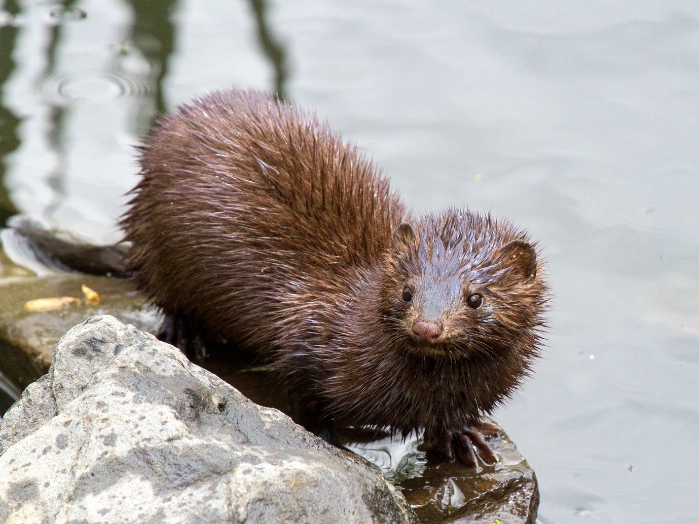
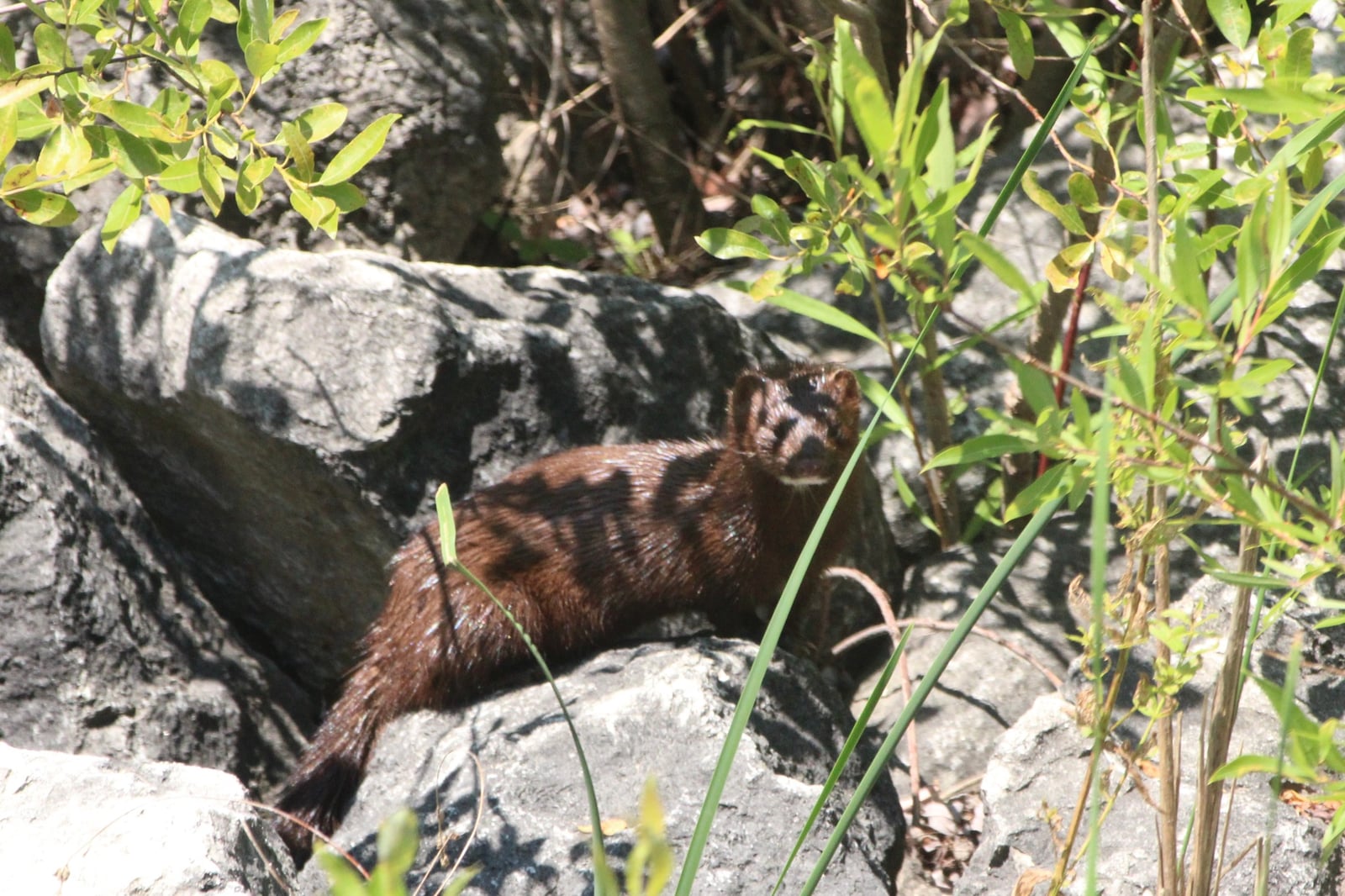
American Mink in New York

Neogale vison

Native to New York S5 Secure in New York

Not listed as nonindigenous in New York by USGS NAS; native to its New York range.

IUCN Red List status

  1. LC
  2. NT
  3. VU
  4. EN
  5. CR
  6. EW
  7. EX

LC – Least Concern

Widespread and abundant; not at risk.

American Mink in New York, by the numbers

Common in New York 18th most recorded of 102 mammals logged in New York

1,001 occurrence records
970 with iNaturalist photos
Jul 7, 2026 Last seen in New York

Records from 2000–2026.

1,001 total records count every New York occurrence from GBIF and iNaturalist; the map plots a georeferenced sample of 300; the monthly chart covers the 961 records with a full observation date.

When to look for the American Mink in New York

Most sightings fall in March to August.

961 New York occurrence records (iNaturalist and GBIF) by month of year, 2000–2026. Shows when the species is recorded, not a guarantee of presence.

Monthly New York records (table)
MonthRecords
January45
February46
March133
April99
May91
June107
July137
August116
September48
October43
November53
December43

Monthly american mink occurrence records (iNaturalist and GBIF) in New York, 2000–2026.

Seasonality

Year-round in New York, with recorded sightings peaking in March–August.

Occurrence map

Where American Mink has been recorded in New York

300 records mapped · zoom and drag to explore

293 New York records mapped

Notable places to look

Park, forest, or monumentiNaturalist records
Reinstein Woods Nature Preserve And Environmental Education Center 51
Erie Canal 12
Five Rivers Education Center 8
Amherst State Park 7
Harriman State Park 6
Northern Montezuma Wildlife Management Area 4
Sterling Forest State Park 3
Taughannock Falls State Park 3

Protected places with the most american mink sightings, from the USGS Protected Areas Database plus named mountain ranges, good spots to look, not a full breakdown, so they don't sum to the total.

Where it's recorded in New York

CountyRecords
Tompkins County 197
Erie County 126
Onondaga County 53
Ulster County 42
Monroe County 39
Jefferson County 38
Westchester County 27
Schuyler County 27
Ontario County 26
Saratoga County 23
Orange County 20
Seneca County 19
40 other counties 364

The complete county distribution, spread across 52 New York counties. Every occurrence record falls in one county, so these sum to the total. Counties from GBIF and US Census boundaries.

Tompkins County, around Ithaca and the south end of Cayuga Lake, holds 197 of New York’s 1,001 mink records, more than any other county. Inlet marshes, gorge streams, and a large community of nature watchers make it the best-documented corner of the state, and Taughannock Falls State Park, up the lake shore, is among the named sites. Erie County comes next with 126. Reinstein Woods Nature Preserve, in the Buffalo suburbs, is the top named place in New York with 51 records, ahead of the Erie Canal and Five Rivers Education Center.

A March high and a July peak

The 970 iNaturalist observations set the shape of the year. Records climb to a March high, ease through spring, and peak in July at 137, the busiest month. September through February run much quieter, between 43 and 53 a month. Those spring and summer highs match late-winter mating and the summer stretch when young mink are out and people crowd the trails. Native across New York, the mink holds NatureServe’s S5 rank, secure, with records from Westchester and the Hudson Valley to Jefferson County on the St. Lawrence.
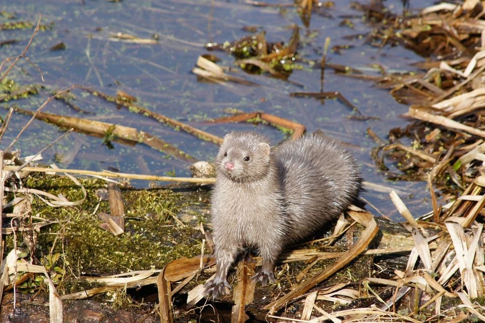

Occurrence data from iNaturalist and GBIF.

American Mink in other states

American Mink range map (all states)

More mammals in New York in the atlas

Data & sources

The data and visualizations on this page draw on these open sources:

  • GBIFCC-BY 4.0occurrence records behind the range map, elevation, and record counts
  • iNaturalistCC0 / CC-BY / CC-BY-SAobservations, photos, and audio recordings
  • NatureServe ExplorerCC-BYthe state conservation rank
  • IUCN Red Listattributed factthe global conservation status
  • USGS NASpublic domainnative / introduced status
  • Natural Earthpublic domainthe relief basemap
  • USFSpublic domainnational-forest boundaries
  • USGS Protected Areas Databasepublic domainthe named parks, forests, and refuges behind "notable places to look"