Interactive tools
Free, data-driven tools to plan your time outdoors. Built by Outforia, no sign-up required.
-
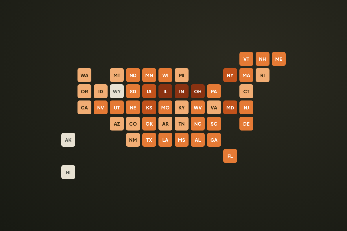 Data study
Gone From Your State, Wandering Back
Mountain lions, bears and wolves keep turning up in states that lost them. Every confirmation since 2020, plus what each state lost and what came back.
Open the tool → -
 Data study
The Most Dangerous U.S. National Parks
Nine years of National Park Service death records, ranked by accidental deaths per 1 million visits, with an interactive park map.
Open the tool → -
 Interactive tool
Is It Good Outside?
Get a live outdoor comfort score for any location, built from temperature, wind, rain, UV and air quality.
Open the tool → -
 Data study
Deadly Animal Encounters by State
All 50 states ranked by animal-related deaths from CDC records, in total and per 10 million residents, 1999 to 2024.
Open the tool → -
 Data study
Data Centers vs. The Wild
An interactive map ranking the states where data center buildout overlaps most with wildlife, forests and drought pressure.
Open the tool → -
 Interactive tool
Stargazing Forecast
Get a live 0 to 10 stargazing score for tonight, plus the best national parks under certified dark skies.
Open the tool → -
 Interactive tool
Hiking Layering Planner
Set the temperature, wind, rain and UV, and get a base-to-shell hiking layering plan in seconds.
Open the tool → -
 Data study
Outdoor Tick Exposure Index
All 50 states ranked by tick-borne disease rate, forest cover, deer density and outdoor recreation.
Open the tool → -
 Interactive tool
Camping Checklist
A complete, checkable camping packing list. 124 items across 12 categories, with your progress saved as you go.
Open the tool → -
 Interactive tool
Compare Species
Put any two US mammals side by side: size, weight, range, diet and the key differences at a glance.
Open the tool →