Arizona mammals

Arizona Gray Squirrel in Arizona

Sciurus arizonensis

Native to Arizona S4 Apparently Secure in Arizona

Not listed as nonindigenous in Arizona by USGS NAS; native to its Arizona range.

IUCN Red List status

DD – Data Deficient

Not enough information to assess extinction risk.

Arizona Gray Squirrel in Arizona, by the numbers

Common in Arizona 13th most recorded of 158 mammals logged in Arizona

2,619 occurrence records
2,603 with iNaturalist photos

Records from 2000–2026.

2,619 total records count every Arizona occurrence from GBIF and iNaturalist; the map plots a georeferenced sample of 300; the monthly chart covers the 2,498 records with a full observation date.

When to look for the Arizona Gray Squirrel in Arizona

Most sightings fall in March to May.

2,498 Arizona occurrence records (iNaturalist and GBIF) by month of year, 2000–2026. Shows when the species is recorded, not a guarantee of presence.

Monthly Arizona records (table)
MonthRecords
January178
February120
March232
April274
May370
June147
July240
August353
September150
October113
November159
December162

Monthly arizona gray squirrel occurrence records (iNaturalist and GBIF) in Arizona, 2000–2026.

Seasonality

Year-round in Arizona, with recorded sightings peaking in March–May, with a smaller rise in July–August.

Occurrence map

Where Arizona Gray Squirrel has been recorded in Arizona

300 records mapped · zoom and drag to explore

300 Arizona records mapped

Notable places to look

Park, forest, or monumentiNaturalist records
Coronado National Forest 461
Mt. Wrightson Wilderness 178
Miller Peak Wilderness 110
Madera Canyon (Santa Rita Mountains) 37
Patagonia Lake State Park 22
Red Rock-Secret Mountain Wilderness 11
Coconino National Forest 9
Red Rock State Park 9

Protected places with the most arizona gray squirrel sightings, from the USGS Protected Areas Database plus named mountain ranges, good spots to look, not a full breakdown, so they don't sum to the total.

Where it's recorded in Arizona

CountyRecords
Santa Cruz County 1,387
Cochise County 735
Pima County 145
Gila County 97
Yavapai County 93
Coconino County 23
Navajo County 5
Maricopa County 4
Greenlee County 3
Graham County 2
Pinal County 1
Apache County 1
Other localities 123

The complete county distribution, spread across 12 Arizona counties. Every occurrence record falls in one county, so these sum to the total. Counties from GBIF and US Census boundaries.

The Arizona gray squirrel is a canyon specialist found almost nowhere but the mountains of the Southwest. Its 2,619 Arizona records, most of them iNaturalist photos, come overwhelmingly from the wooded sky-island canyons of the state’s southeastern corner.

Life in the sycamore canyons

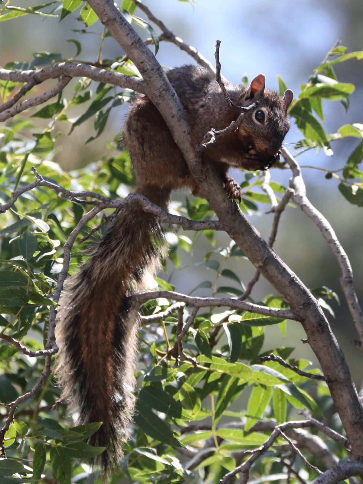
Unlike the ponderosa-loving Abert’s squirrel, this one keeps to the shady broadleaf bottoms: sycamore, walnut, and oak lining the perennial creeks that thread the Sky Islands. It harvests walnuts, acorns, and pine seeds and caches them against winter. Santa Cruz and Cochise counties, home to Madera and Ramsey canyons and the wider Coronado National Forest, hold nearly all of its records, and the squirrel thins out fast wherever the canyon forest does.

A quiet, grizzled gray

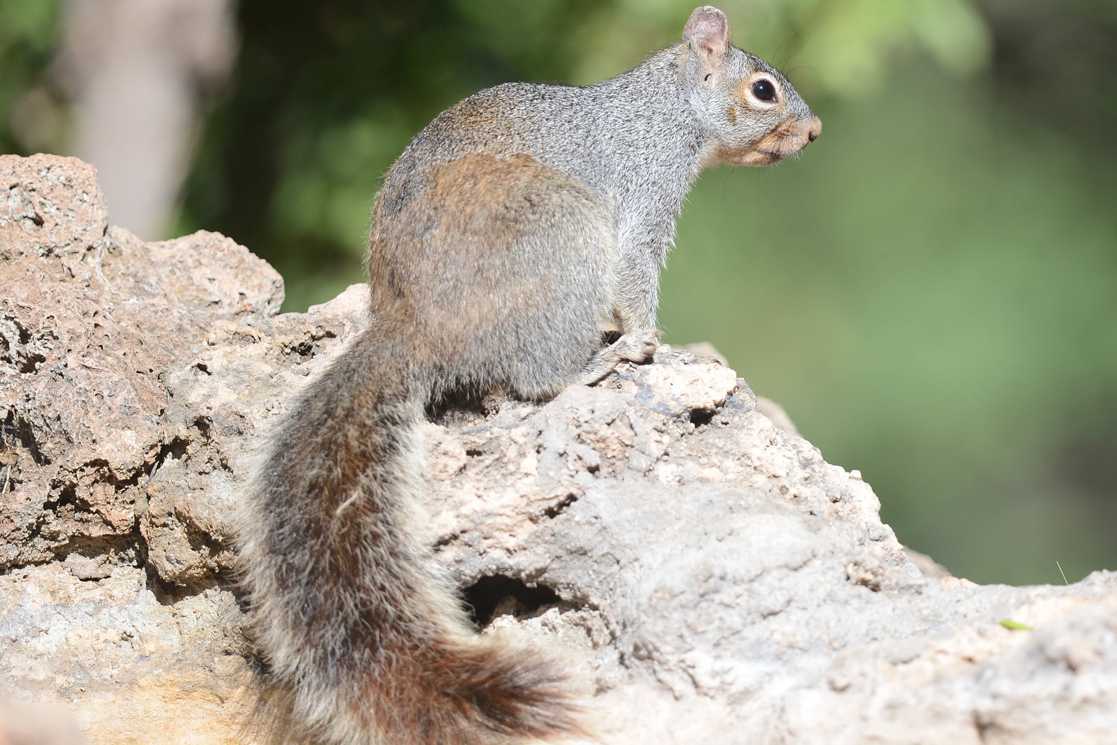
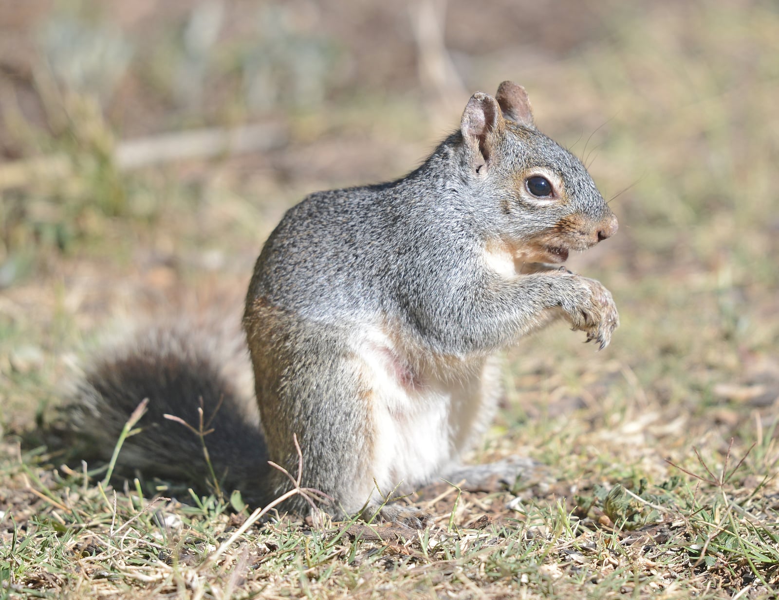
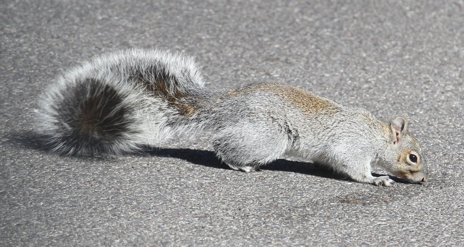
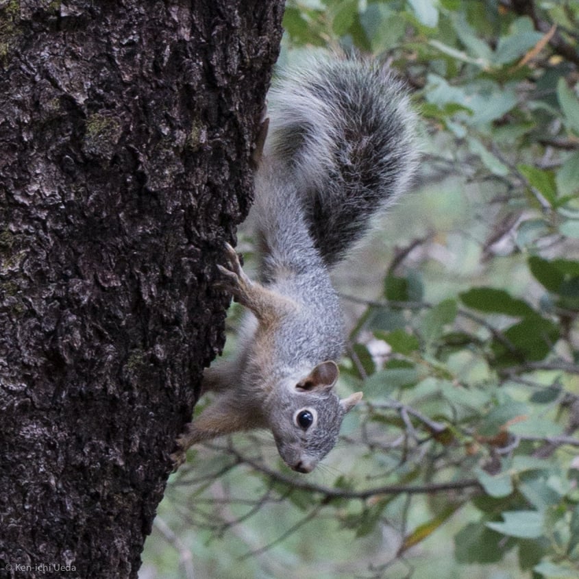
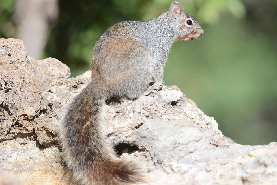
This is a larger and plainer animal than its lookalikes: a grizzled gray coat, a clean white belly, a long gray-and-white tail, and no ear tufts to speak of. It is shy and easily overlooked, slipping through the canopy rather than scolding from a trunk, so many sightings come from patient observers working a single canyon.

Status in Arizona

The Arizona gray squirrel is native to the state and ranked S4, apparently secure, by NatureServe. Its overall world range is small enough, confined to a handful of Southwestern and northern Mexican mountains, that the species is globally listed as data deficient, which makes Arizona’s canyon populations an outsized share of everything known about it.
Arizona Gray Squirrel in other states

More mammals in Arizona in the atlas

Data & sources

The data and visualizations on this page draw on these open sources:

  • GBIFCC-BY 4.0occurrence records behind the range map, elevation, and record counts
  • iNaturalistCC0 / CC-BY / CC-BY-SAobservations, photos, and audio recordings
  • NatureServe ExplorerCC-BYthe state conservation rank
  • IUCN Red Listattributed factthe global conservation status
  • USGS NASpublic domainnative / introduced status
  • Natural Earthpublic domainthe relief basemap
  • USFSpublic domainnational-forest boundaries
  • USGS Protected Areas Databasepublic domainthe named parks, forests, and refuges behind "notable places to look"