Utah mammals

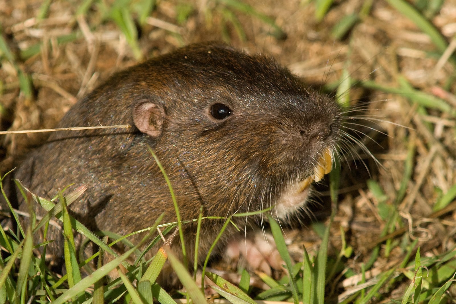
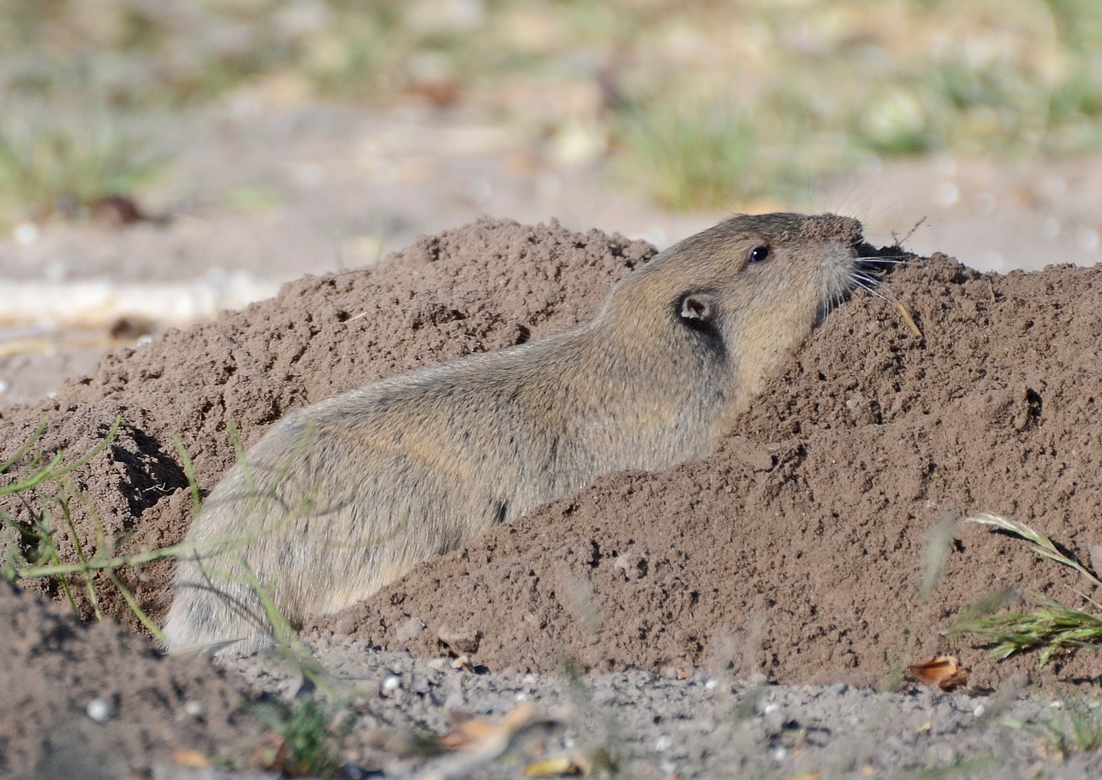
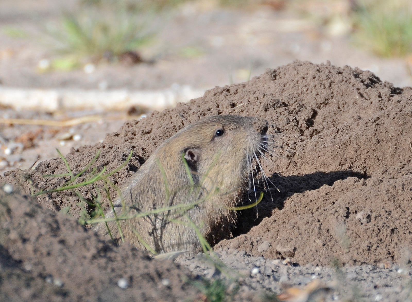
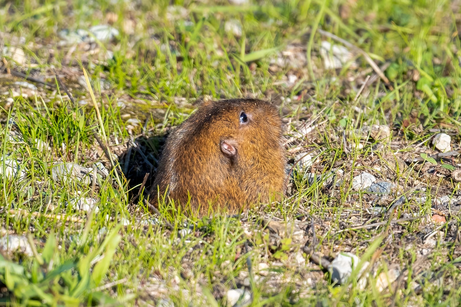
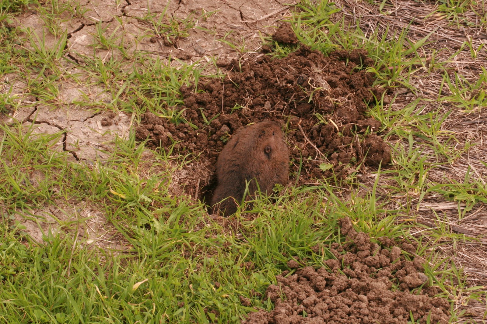
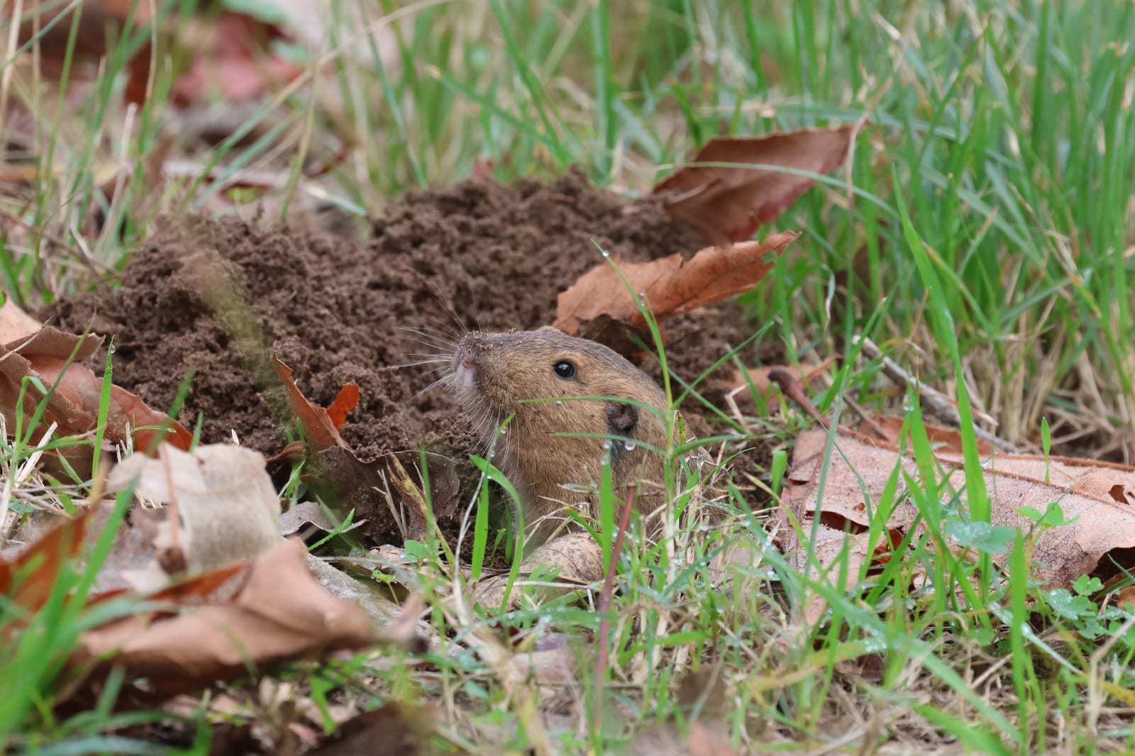
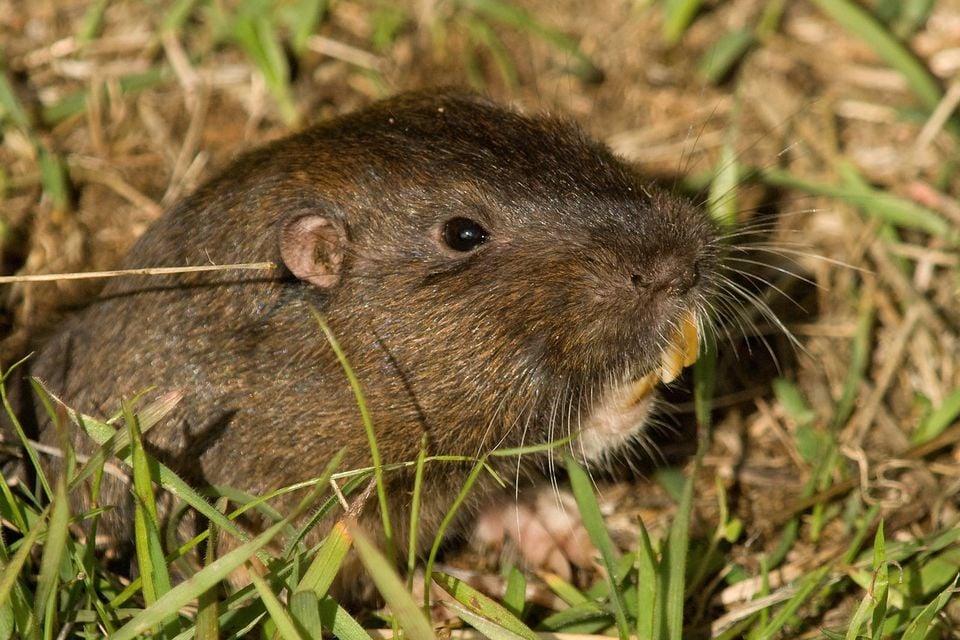
Botta's Pocket Gopher in Utah

Thomomys bottae

Native to Utah S4 Apparently Secure in Utah

Not listed as nonindigenous in Utah by USGS NAS; native to its Utah range.

IUCN Red List status

  1. LC
  2. NT
  3. VU
  4. EN
  5. CR
  6. EW
  7. EX

LC – Least Concern

Widespread and abundant; not at risk.

Botta's Pocket Gopher in Utah, by the numbers

Occasional in Utah 79th most recorded of 141 mammals logged in Utah

58 occurrence records

Records from 2000–2026.

When to look for the Botta's Pocket Gopher in Utah

Most sightings fall in October.

58 Utah occurrence records (iNaturalist and GBIF) by month of year, 2000–2026. Shows when the species is recorded, not a guarantee of presence.

Monthly Utah records (table)
MonthRecords
January2
February8
March1
April10
May5
June2
July1
August3
September4
October15
November5
December2

Monthly botta's pocket gopher occurrence records (iNaturalist and GBIF) in Utah, 2000–2026.

Seasonality

Year-round in Utah, with recorded sightings peaking in October, with a smaller rise in April.

Occurrence map

Where Botta's Pocket Gopher has been recorded in Utah

58 records mapped · zoom and drag to explore

58 Utah records mapped

Notable places to look

Park, forest, or monumentiNaturalist records
Grand Staircase-Escalante National Monument 1
Cottonwood Canyon Wilderness Area 1

Protected places with the most botta's pocket gopher sightings, from the USGS Protected Areas Database plus named mountain ranges, good spots to look, not a full breakdown, so they don't sum to the total.

Where it's recorded in Utah

CountyRecords
Salt Lake County 21
Juab County 11
Washington County 6
Emery County 6
Davis County 6
Garfield County 3
Utah County 2
Iron County 2
Wasatch County 1

The complete county distribution, spread across 9 Utah counties. Every occurrence record falls in one county, so these sum to the total. Counties from GBIF and US Census boundaries.

Botta’s pocket gopher reports are anchored in eastern Utah around Bears Ears and the Book Cliffs, with Capitol Reef marking another stretch of workable soil. The animals stay mostly underground, so fresh mounds in valley floors and softer plateau ground are more revealing than the region’s bare cliffs.

The record pattern has separate lifts in February, April, and October rather than one long summer crest. Soil conditions and survey timing can change when burrowing signs are noticed, so those peaks aren’t a population ranking.
Occurrence data from GBIF.

More mammals in Utah in the atlas

Data & sources

The data and visualizations on this page draw on these open sources:

  • GBIFCC-BY 4.0occurrence records behind the range map, elevation, and record counts
  • iNaturalistCC0 / CC-BY / CC-BY-SAobservations, photos, and audio recordings
  • NatureServe ExplorerCC-BYthe state conservation rank
  • IUCN Red Listattributed factthe global conservation status
  • USGS NASpublic domainnative / introduced status
  • Natural Earthpublic domainthe relief basemap
  • USFSpublic domainnational-forest boundaries
  • USGS Protected Areas Databasepublic domainthe named parks, forests, and refuges behind "notable places to look"