Oregon mammals

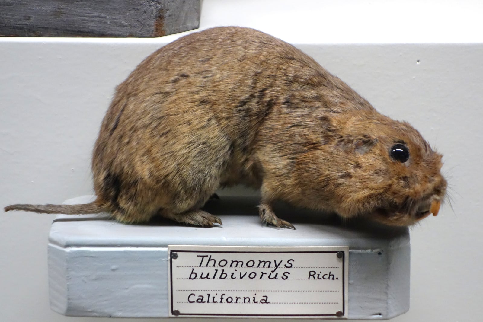
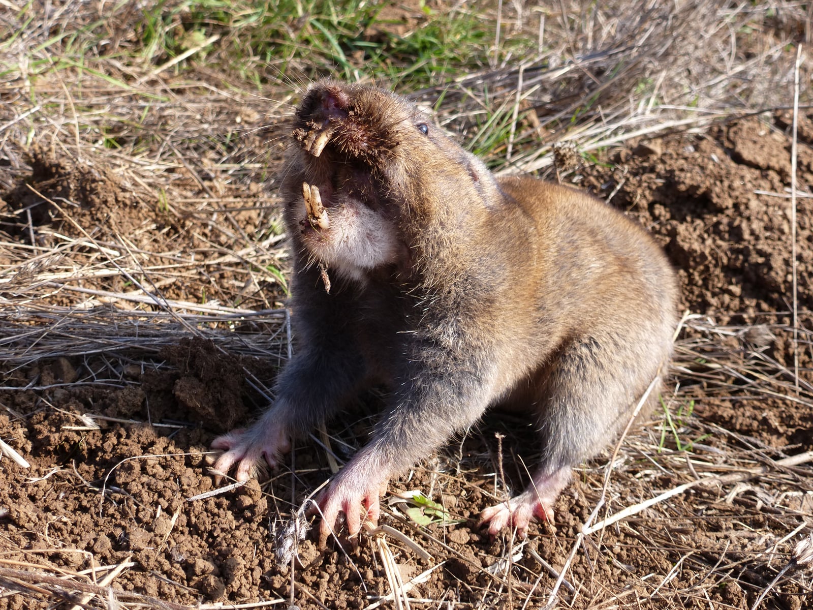
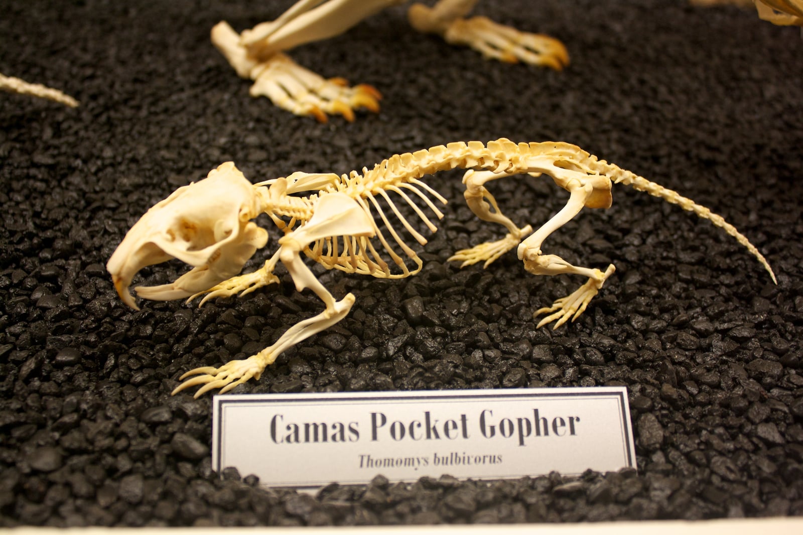
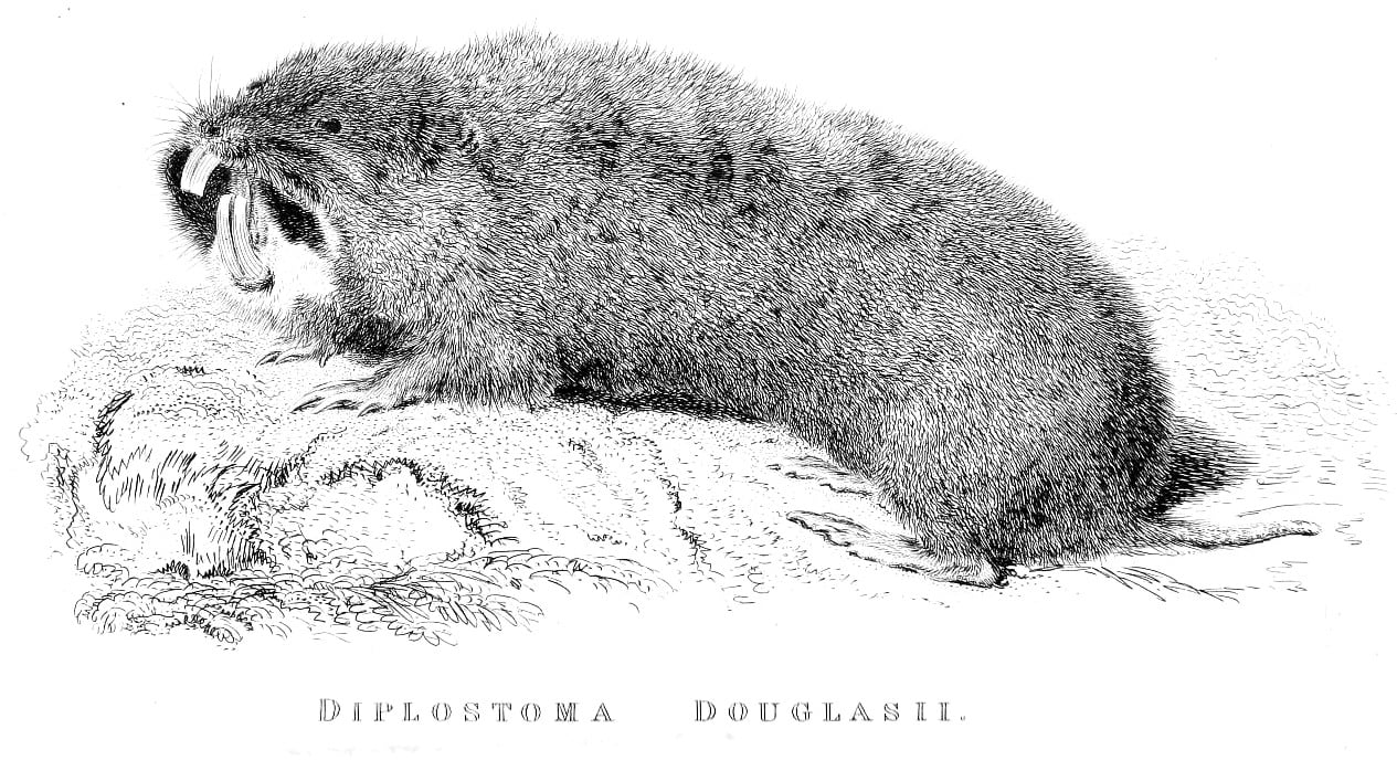
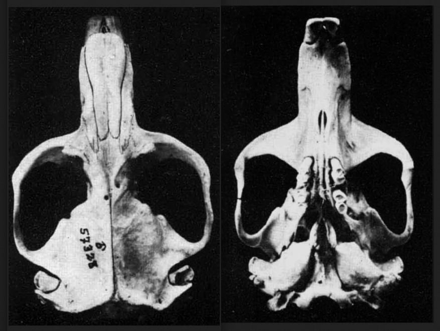
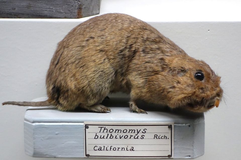
Camas Pocket Gopher in Oregon

Megascapheus bulbivorus

Native to Oregon

Not listed as nonindigenous in Oregon by USGS NAS; treated as native to its mapped Oregon range.

IUCN Red List status

NE – Not Evaluated

Not yet assessed against IUCN Red List criteria.

Camas Pocket Gopher in Oregon, by the numbers

Occasional in Oregon 61st most recorded of 178 mammals logged in Oregon

151 occurrence records
133 with iNaturalist photos
Aug 9, 2026 Last seen in Oregon

Records from 2000–2026.

151 total records count every Oregon occurrence from GBIF and iNaturalist; the map plots a georeferenced sample of 141; the monthly chart covers the 140 records with a full observation date.

When to look for the Camas Pocket Gopher in Oregon

Most sightings fall in April.

140 Oregon occurrence records (iNaturalist and GBIF) by month of year, 2000–2026. Shows when the species is recorded, not a guarantee of presence.

Monthly Oregon records (table)
MonthRecords
January2
February5
March5
April30
May17
June21
July24
August12
September5
October9
November10
December0

Monthly camas pocket gopher occurrence records (iNaturalist and GBIF) in Oregon, 2000–2026.

Seasonality

Year-round in Oregon, with recorded sightings peaking in April, with a smaller rise in June–July.

Occurrence map

Where Camas Pocket Gopher has been recorded in Oregon

141 records mapped · zoom and drag to explore

141 Oregon records mapped

Where it's recorded in Oregon

CountyRecords
Washington County 77
Lane County 12
Marion County 12
Linn County 11
Clackamas County 9
Benton County 8
Yamhill County 7
Polk County 3
Multnomah County 2
Other localities 10

The complete county distribution, spread across 9 Oregon counties. Every occurrence record falls in one county, so these sum to the total. Counties from GBIF and US Census boundaries.

The camas pocket gopher is a Willamette Valley animal, full stop. Of the 151 Oregon records since 2000, every one that can be placed in a county falls in nine counties that form a solid block down the valley, from Multnomah and Washington counties in the north through Clackamas, Yamhill, Polk, Marion, Linn, and Benton to Lane. Washington County leads with 77 reports, well ahead of Marion at 12 and Lane at 12. Not one mapped record comes from outside the valley trough.

The monthly pattern tracks fresh digging. Reports peak in April and rise again in June and July, when soft soil and growing plants bring mounds to the surface and make the gopher’s work easy to spot, then thin out from August as the ground hardens and observers stay home. Since this gopher is endemic to the valley (found nowhere else), every county record helps define the edge of its entire world. Report volume still follows farms, roads, and people, so treat the cluster as a floor for the range, not a ceiling.
Occurrence data from iNaturalist and GBIF.

More mammals in Oregon in the atlas

Data & sources

The data and visualizations on this page draw on these open sources:

  • GBIFCC-BY 4.0occurrence records behind the range map, elevation, and record counts
  • iNaturalistCC0 / CC-BY / CC-BY-SAobservations, photos, and audio recordings
  • IUCN Red Listattributed factthe global conservation status
  • USGS NASpublic domainnative / introduced status
  • Natural Earthpublic domainthe relief basemap
  • USFSpublic domainnational-forest boundaries