
Arizona mammals

Desert Pocket Mouse in Arizona

Chaetodipus penicillatus

Native to Arizona S5 Secure in Arizona

Not listed as nonindigenous in Arizona by USGS NAS; native to its Arizona range.

IUCN Red List status

  1. LC
  2. NT
  3. VU
  4. EN
  5. CR
  6. EW
  7. EX

LC – Least Concern

Widespread and abundant; not at risk.

Desert Pocket Mouse in Arizona, by the numbers

Common in Arizona 20th most recorded of 158 mammals logged in Arizona

4,620 occurrence records
83 with iNaturalist photos

4,620 total records count every Arizona occurrence from GBIF and iNaturalist; the map plots a georeferenced sample of 300; the monthly chart covers the 4,499 records with a full observation date.

When to look for the Desert Pocket Mouse in Arizona

Most sightings fall in April to July.

4,499 Arizona occurrence records (iNaturalist and GBIF) by month of year. Shows when the species is recorded, not a guarantee of presence.

Monthly Arizona records (table)
MonthRecords
January90
February168
March417
April709
May621
June504
July705
August323
September352
October411
November171
December28

Monthly desert pocket mouse occurrence records (iNaturalist and GBIF) in Arizona.

Seasonality

Year-round in Arizona, with recorded sightings peaking in April–July.

Occurrence map

Where Desert Pocket Mouse has been recorded in Arizona

300 records mapped · zoom and drag to explore

300 Arizona records mapped

Notable places to look

Park, forest, or monumentiNaturalist records
State Trust Land 1,631
Cabeza Prieta Wilderness Area 69
Organ Pipe Cactus National Monument 50
Ironwood Forest National Monument 33
Picacho Peak State Park 25
Saguaro National Park 17
Sonoran Desert National Monument 5
Chiricahua Wilderness 4

Protected places with the most desert pocket mouse sightings, from the USGS Protected Areas Database plus named mountain ranges, good spots to look, not a full breakdown, so they don't sum to the total.

Where it's recorded in Arizona

CountyRecords
Pima County 2,400
Cochise County 538
Maricopa County 419
Yuma County 372
La Paz County 238
Pinal County 209
Graham County 146
Santa Cruz County 76
Mohave County 60
Greenlee County 25
Gila County 15
Yavapai County 12
Other localities 110

The complete county distribution, spread across 12 Arizona counties. Every occurrence record falls in one county, so these sum to the total. Counties from GBIF and US Census boundaries.

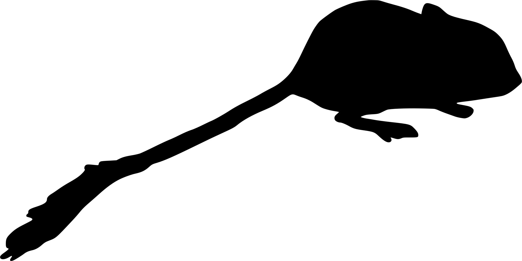
The desert pocket mouse is a small, sand-colored rodent of Arizona’s hottest, driest lowlands, abundant across the desert floor yet almost never seen. Open occurrence databases hold 4,620 records for the state, and nearly all of them come from museum specimens and live-trapping surveys rather than photographs, the usual signature of a tiny nocturnal burrower that few people ever lay eyes on.

Where it lives in Arizona

The records map the low Sonoran and Mojave desert almost exactly. Pima County dominates, followed by Cochise, Maricopa, Yuma, and La Paz, tracing the sandy flats and washes of the state’s southern and western basins. This pocket mouse wants loose, sandy soil it can tunnel into and a landscape of creosote, mesquite, and desert grasses that sheds the seeds it lives on. It gathers those seeds in fur-lined cheek pouches and caches them underground, a strategy that carries it through stretches when nothing is fruiting.

A rhythm set by heat and survey work

The record climbs through spring and summer and nearly vanishes by December, a pattern shaped by two things at once. Pocket mice are least active in the cold months, staying below ground and dropping into torpor to save energy when nights turn cold and seeds grow scarce, so genuinely fewer are moving. At the same time, most trapping happens in the warm season, so the survey calendar amplifies the dip. Both push the same direction.

Status in Arizona

NatureServe ranks the desert pocket mouse S5, secure, and it holds no special state listing. It is one of the desert’s foundational seed-eaters, a link between the sparse plant life of the basins and the owls, snakes, and foxes that hunt the same sandy ground.
More mammals in Arizona in the atlas

Data & sources

The data and visualizations on this page draw on these open sources:

  • GBIFCC-BY 4.0occurrence records behind the range map, elevation, and record counts
  • iNaturalistCC0 / CC-BY / CC-BY-SAobservations, photos, and audio recordings
  • NatureServe ExplorerCC-BYthe state conservation rank
  • IUCN Red Listattributed factthe global conservation status
  • USGS NASpublic domainnative / introduced status
  • Natural Earthpublic domainthe relief basemap
  • USFSpublic domainnational-forest boundaries
  • USGS Protected Areas Databasepublic domainthe named parks, forests, and refuges behind "notable places to look"




