
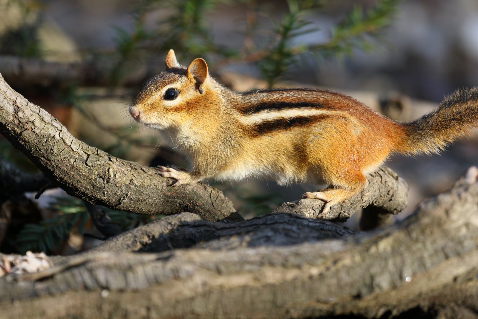
Pennsylvania mammals

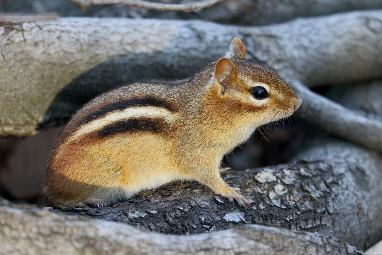
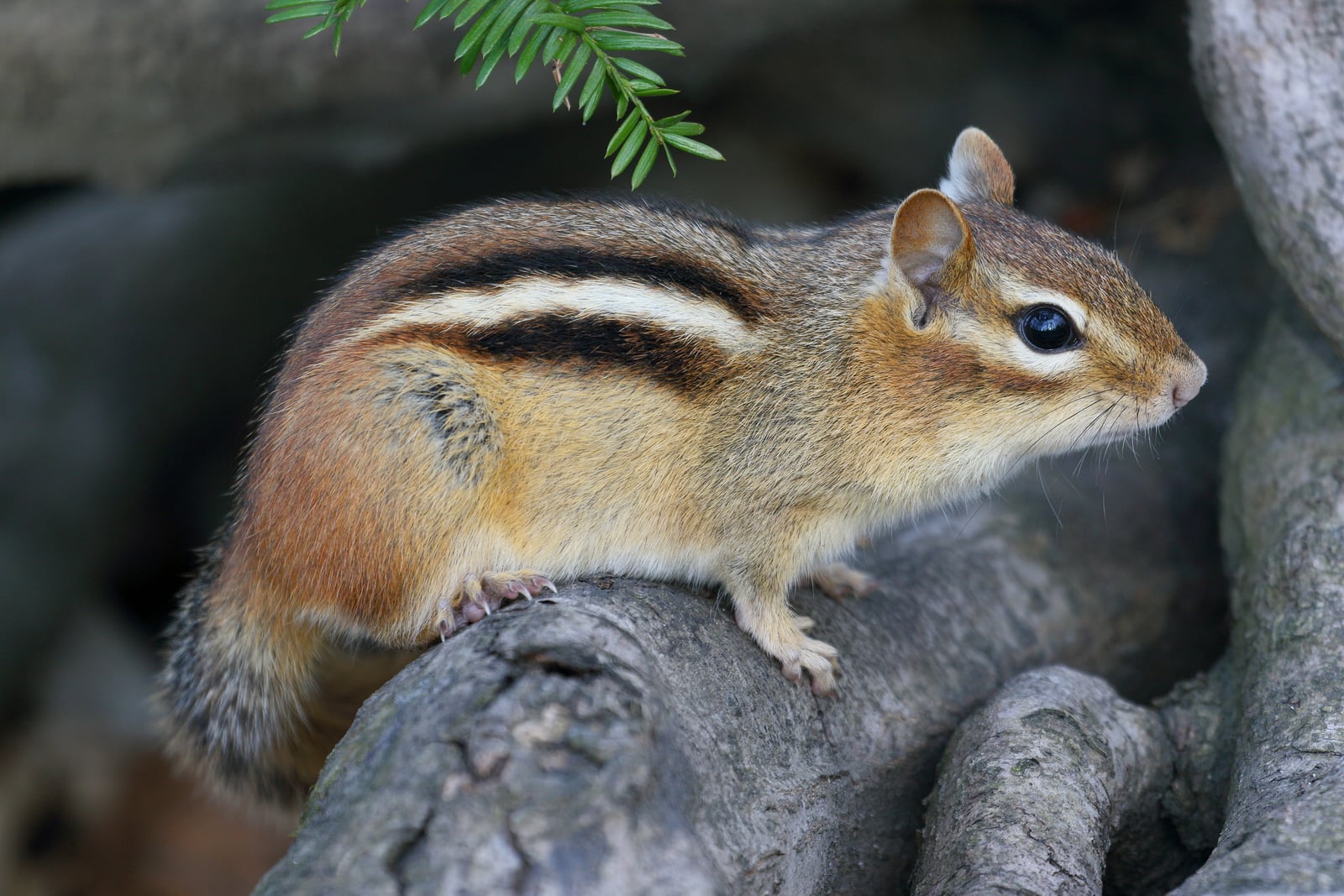
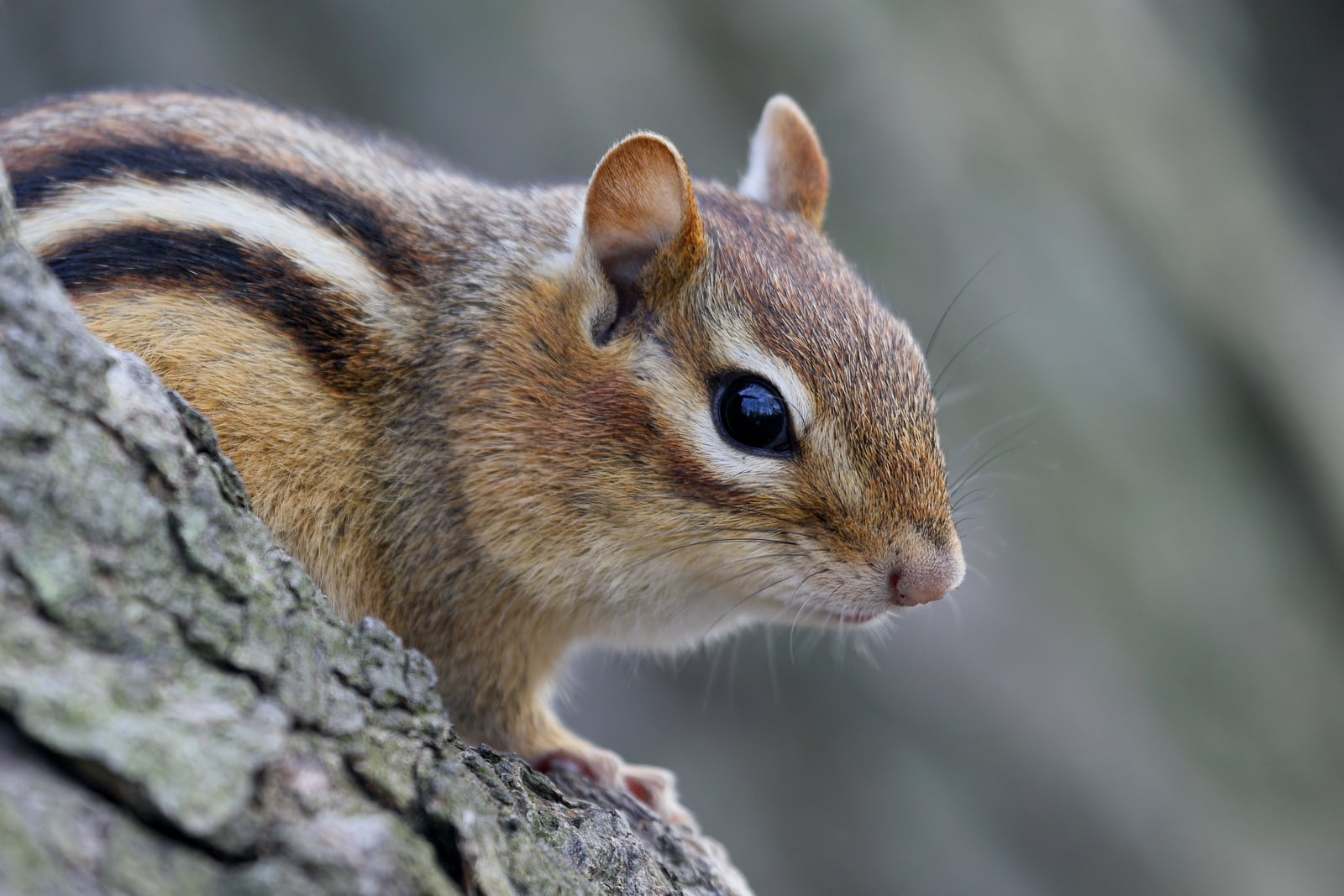
Eastern Chipmunk in Pennsylvania

Tamias striatus

Native to Pennsylvania S5 Secure in Pennsylvania

Not listed as nonindigenous in Pennsylvania by USGS NAS; native to its Pennsylvania range.

IUCN Red List status

  1. LC
  2. NT
  3. VU
  4. EN
  5. CR
  6. EW
  7. EX

LC – Least Concern

Widespread and abundant; not at risk.

Eastern Chipmunk in Pennsylvania, by the numbers

Common in Pennsylvania 4th most recorded of 77 mammals logged in Pennsylvania

5,952 occurrence records
5,821 with iNaturalist photos

5,952 total records count every Pennsylvania occurrence from GBIF and iNaturalist; the map plots a georeferenced sample of 300; the monthly chart covers the 5,938 records with a full observation date.

When to look for the Eastern Chipmunk in Pennsylvania

Most sightings fall in May to June.

5,938 Pennsylvania occurrence records (iNaturalist and GBIF) by month of year. Shows when the species is recorded, not a guarantee of presence.

Monthly Pennsylvania records (table)
MonthRecords
January10
February79
March243
April605
May1,291
June1,170
July595
August281
September1,015
October510
November129
December10

Monthly eastern chipmunk occurrence records (iNaturalist and GBIF) in Pennsylvania.

Seasonality

Year-round in Pennsylvania, with recorded sightings peaking in May–June, with a smaller rise in September.

Occurrence map

Where Eastern Chipmunk has been recorded in Pennsylvania

300 records mapped · zoom and drag to explore

299 Pennsylvania records mapped

Notable places to look

Park, forest, or monumentiNaturalist records
Fort Washington State Park 55
Ridley Creek State Park 46
French Creek State Park 30
Gettysburg National Military Park 26
Raccoon Creek State Park 25
Jennings E.E.C. State Park 21
Presque Isle State Park 21
Hawk Mountain Sanctuary 19

Protected places with the most eastern chipmunk sightings, from the USGS Protected Areas Database plus named mountain ranges, good spots to look, not a full breakdown, so they don't sum to the total.

Where it's recorded in Pennsylvania

CountyRecords
Allegheny County 796
Centre County 523
Montgomery County 460
Delaware County 358
Philadelphia County 259
Venango County 219
Erie County 216
Chester County 199
Berks County 173
Luzerne County 160
Monroe County 147
Butler County 131
55 other counties 2,311

The complete county distribution, spread across 67 Pennsylvania counties. Every occurrence record falls in one county, so these sum to the total. Counties from GBIF and US Census boundaries.

With 5,952 records, the eastern chipmunk is one of the most thoroughly documented mammals in Pennsylvania, reported from nearly every corner of the state. Allegheny, Centre, and Montgomery counties lead, and wooded parks from Ricketts Glen to Ridley Creek turn up animals wherever trails pass stone walls, stumps, and leaf litter.

A hoarder with a floor plan

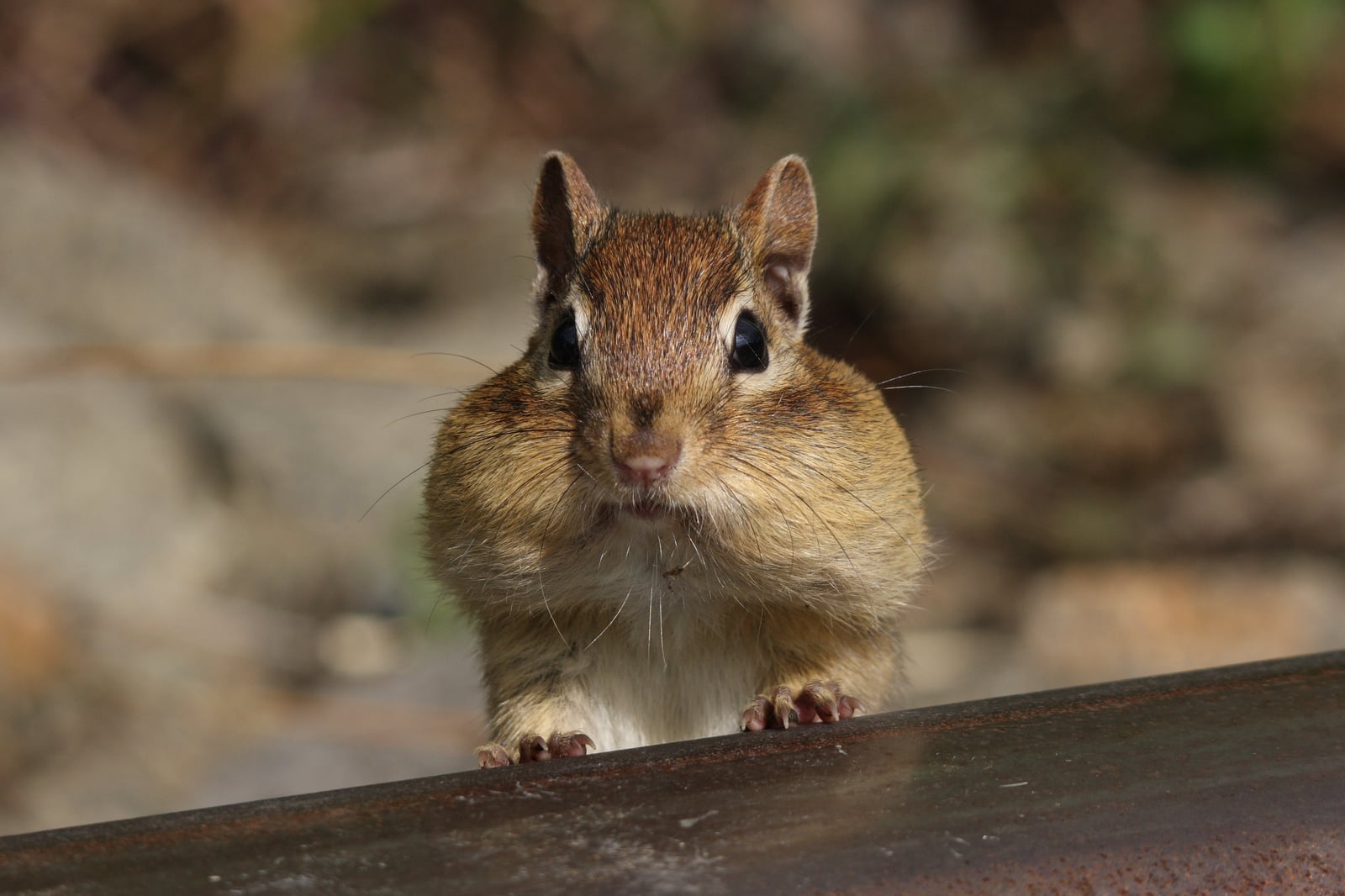
Chipmunks live by the cache. Each animal excavates a burrow system with a nesting chamber and storage pockets, then spends autumn stuffing its cheek pouches with acorns, hickory nuts, and seeds to fill them. The September surge in Pennsylvania’s records, more than a thousand in that month alone, matches that frantic gathering season, when a chipmunk may shuttle between a fruiting oak and its burrow entrance all day long.

Underground, but not quite asleep

Unlike the groundhog, the chipmunk is not a true hibernator. It retreats below the frost line and slips into torpor, waking every few days to eat from its hoard, which is why records nearly vanish from December through February without stopping altogether. By May and June the animals are back at the surface in force, females are nursing litters underground, and the state’s counts hit their yearly peak.

Status in Pennsylvania

NatureServe ranks the eastern chipmunk S5, Secure, in Pennsylvania. The species is native to the state, and USGS NAS does not list it as nonindigenous here.

Occurrence data from iNaturalist and GBIF.

Eastern Chipmunk in other states

View all states →

More mammals in Pennsylvania in the atlas

Data & sources

The data and visualizations on this page draw on these open sources:

  • GBIFCC-BY 4.0occurrence records behind the range map, elevation, and record counts
  • iNaturalistCC0 / CC-BY / CC-BY-SAobservations, photos, and audio recordings
  • NatureServe ExplorerCC-BYthe state conservation rank
  • IUCN Red Listattributed factthe global conservation status
  • USGS NASpublic domainnative / introduced status
  • Natural Earthpublic domainthe relief basemap
  • USFSpublic domainnational-forest boundaries
  • USGS Protected Areas Databasepublic domainthe named parks, forests, and refuges behind "notable places to look"



