
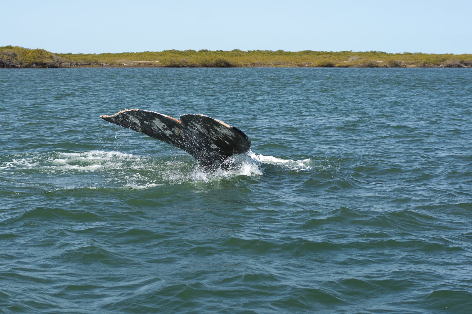
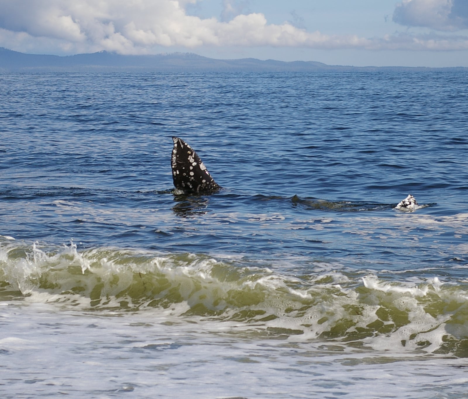
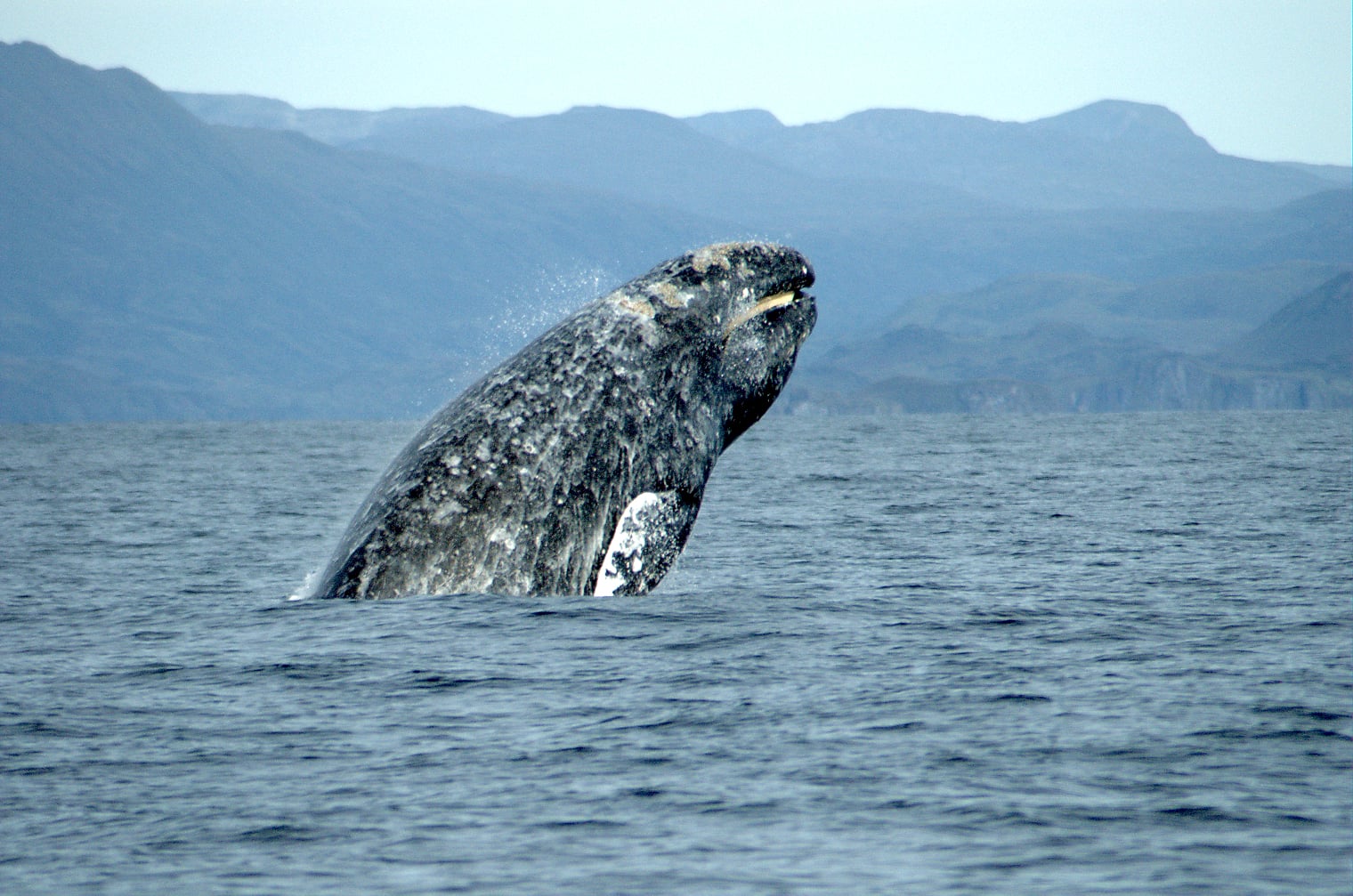
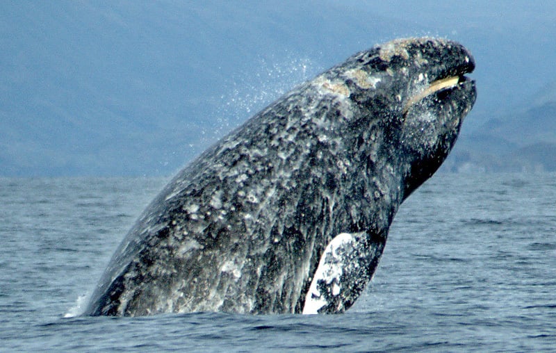
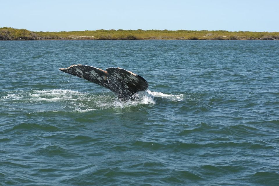
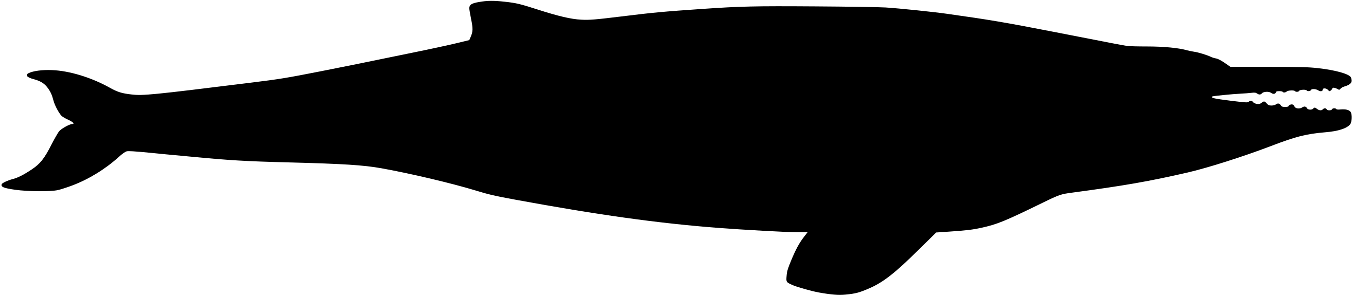
Gray-whale records line Oregon’s coast, where state-park headlands, beaches, and the Oregon Dunes corridor give observers long views across nearshore migration routes. Reports are strongest from June through September, a broader summer concentration than the smaller winter and spring totals in this dataset. Sightings from popular overlooks reflect whale passage, sea conditions, and observer effort; they do not measure the number of whales off Oregon.
 Full species profile
Data & sources
The data and visualizations on this page draw on these open sources:
- GBIFCC-BY 4.0occurrence records behind the range map, elevation, and record counts
- iNaturalistCC0 / CC-BY / CC-BY-SAobservations, photos, and audio recordings
- NatureServe ExplorerCC-BYthe state conservation rank
- IUCN Red Listattributed factthe global conservation status
- USGS NASpublic domainnative / introduced status
- Natural Earthpublic domainthe relief basemap
- USFSpublic domainnational-forest boundaries
- USGS Protected Areas Databasepublic domainthe named parks, forests, and refuges behind "notable places to look"




