North Dakota mammals

Least Weasel in North Dakota

Mustela nivalis

Native to North Dakota S4 Apparently Secure in North Dakota

Not listed as nonindigenous in North Dakota by USGS NAS; native to its North Dakota range.

IUCN Red List status

  1. LC
  2. NT
  3. VU
  4. EN
  5. CR
  6. EW
  7. EX

LC – Least Concern

Widespread and abundant; not at risk.

Least Weasel in North Dakota, by the numbers

Rare in North Dakota 70th most recorded of 92 mammals logged in North Dakota

49 occurrence records
3 with iNaturalist photos
Oct 26, 2024 Last seen in North Dakota

Records from 2000–2026.

49 total records count every North Dakota occurrence from GBIF and iNaturalist; the monthly chart covers the 43 records with a full observation date.

When to look for the Least Weasel in North Dakota

Most sightings fall in November to January.

43 North Dakota occurrence records (iNaturalist and GBIF) by month of year, 2000–2026. Shows when the species is recorded, not a guarantee of presence.

Monthly North Dakota records (table)
MonthRecords
January5
February3
March6
April3
May1
June0
July6
August1
September2
October4
November5
December7

Monthly least weasel occurrence records (iNaturalist and GBIF) in North Dakota, 2000–2026.

Seasonality

Year-round in North Dakota, with recorded sightings peaking in November–January, with a smaller rise in March and July.

Occurrence map

Where Least Weasel has been recorded in North Dakota

49 records mapped · zoom and drag to explore

49 North Dakota records mapped

Notable places to look

Park, forest, or monumentiNaturalist records
North Dakota State Forest Service Land 1
Morton County 1

Protected places with the most least weasel sightings, from the USGS Protected Areas Database plus named mountain ranges, good spots to look, not a full breakdown, so they don't sum to the total.

Where it's recorded in North Dakota

CountyRecords
Walsh County 16
Renville County 4
Stark County 3
Bottineau County 3
Morton County 3
Barnes County 3
Sheridan County 2
LaMoure County 2
Dunn County 2
Ward County 2
Grand Forks County 1
Foster County 1
7 other counties 7

The complete county distribution, spread across 19 North Dakota counties. Every occurrence record falls in one county, so these sum to the total. Counties from GBIF and US Census boundaries.

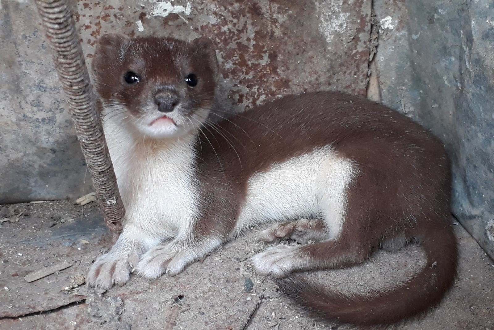
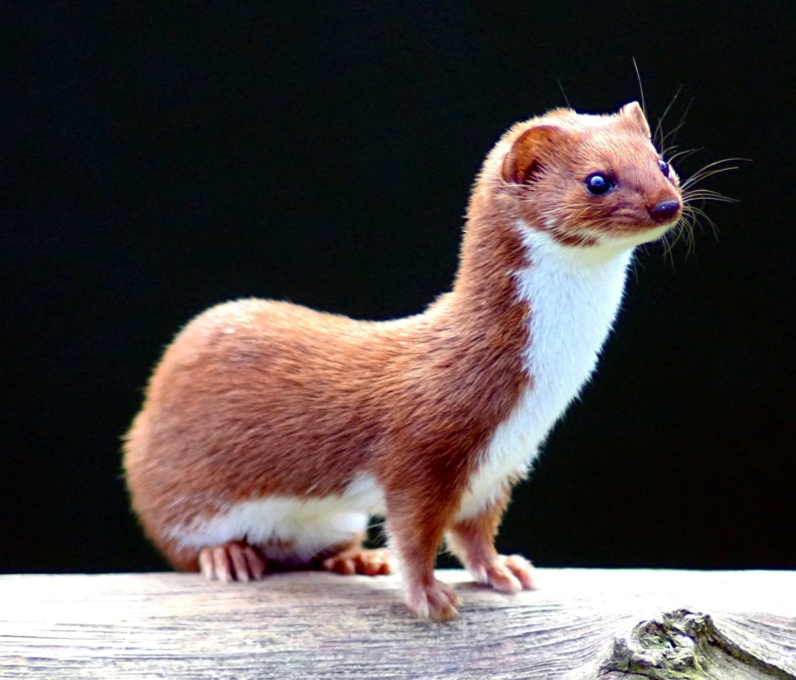
North Dakota holds 49 least weasel records, nearly all of them GBIF entries rather than casual sightings. That’s a solid count for the world’s smallest carnivore, an animal built to disappear into a mouse’s own tunnel.

Marsh edges and grassy cover in prairie pothole country

Least weasels hunt on the move through dense low cover, threading stone walls, field edges, brush piles, and grassy openings in pursuit of mice and voles. North Dakota’s best habitat for that kind of hunting sits in its prairie pothole wetlands: the Missouri Coteau marsh complex at Chase Lake National Wildlife Refuge, and the Souris River wetlands at J. Clark Salyer and Des Lacs National Wildlife Refuges out in the Drift Prairie. All three combine grassy uplands with marsh-edge cover, exactly the setting that keeps small rodents plentiful enough to support a hunter this size.

A winter-active weasel, and the record backs it up

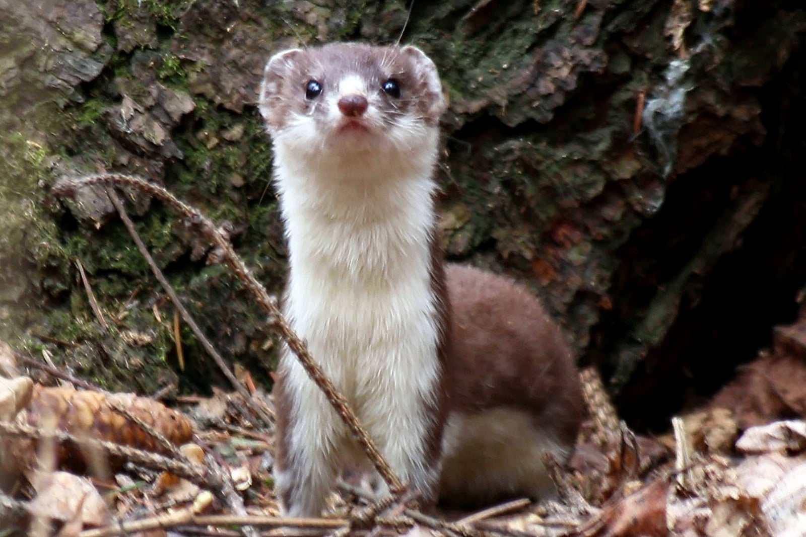
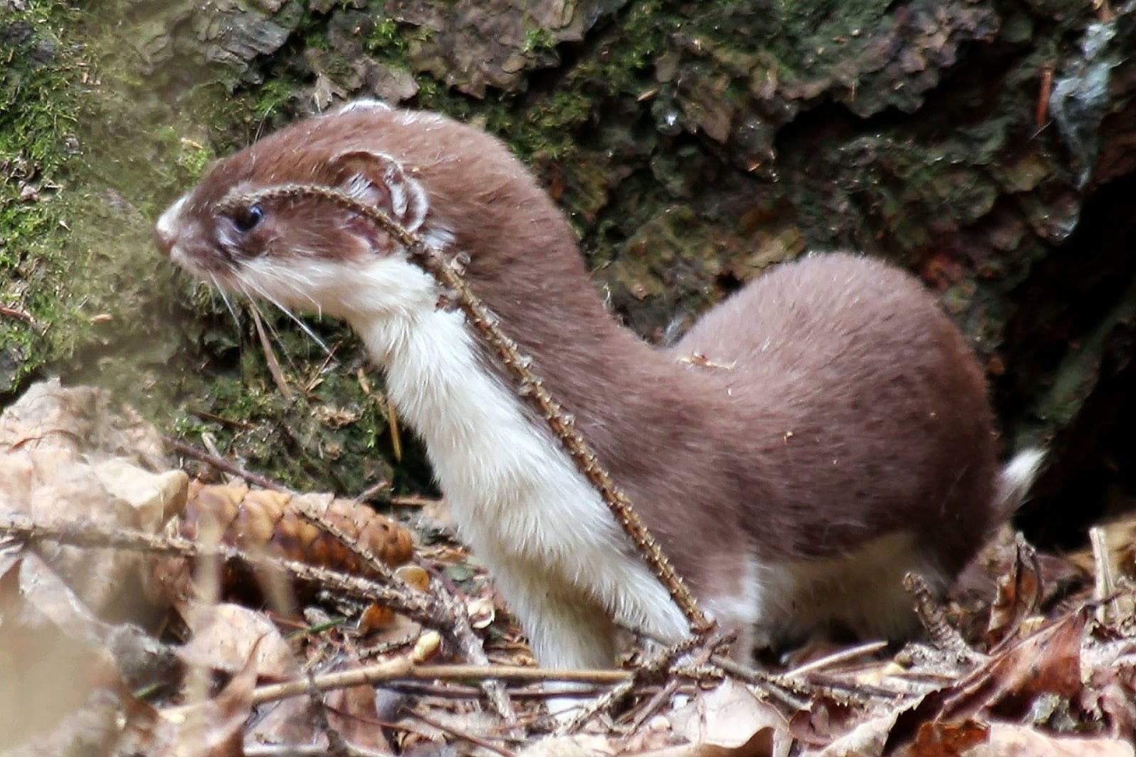
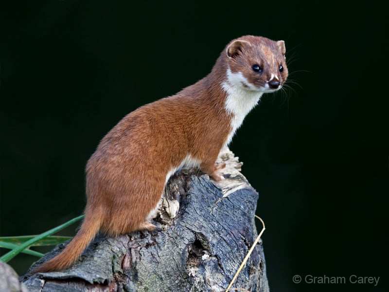
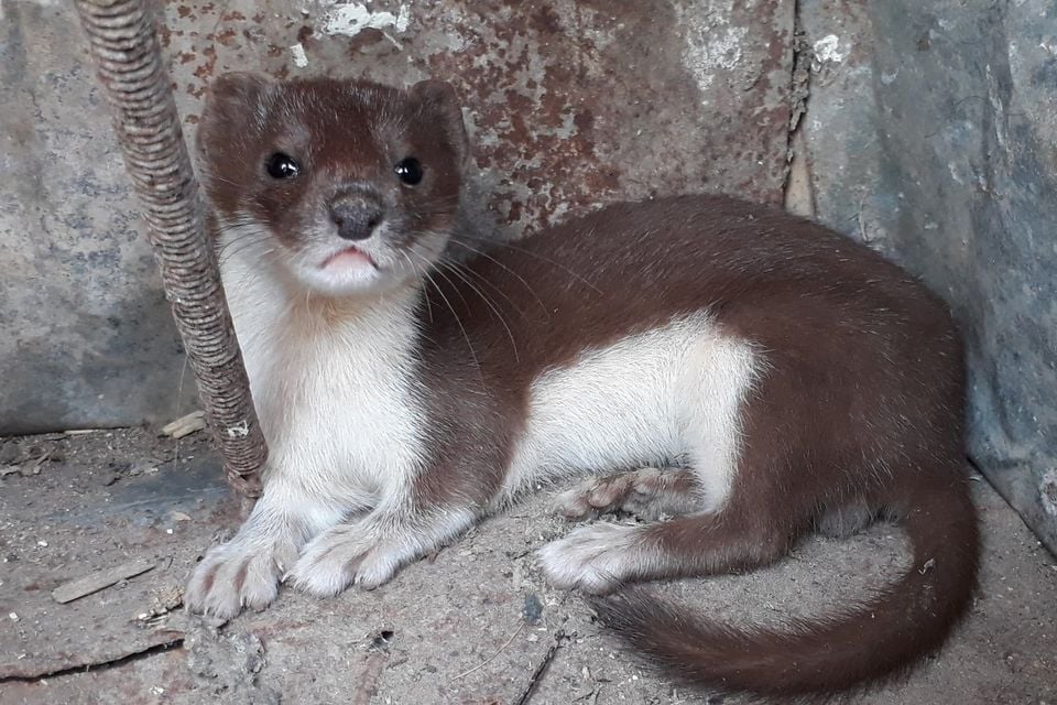
Unlike most of the state’s small mammals, least weasel records don’t drop off in the cold months; December and January both outpace several summer months. Northern least weasels often molt to a white winter coat, and the species doesn’t hibernate. It keeps hunting rodent tunnels under the snowpack all winter. A record that holds up through the coldest months fits an animal built to stay active, and visible against snow, exactly when its prey stays active too.

Status in North Dakota

NatureServe ranks the least weasel S4, apparently secure, in North Dakota, and it’s native to its North Dakota range. That’s the strongest state rank in this batch of overlays, matching a species tied closely to the prairie pothole wetlands that cover so much of the state.
Occurrence data from iNaturalist and GBIF.

More mammals in North Dakota in the atlas

Data & sources

The data and visualizations on this page draw on these open sources:

  • GBIFCC-BY 4.0occurrence records behind the range map, elevation, and record counts
  • iNaturalistCC0 / CC-BY / CC-BY-SAobservations, photos, and audio recordings
  • NatureServe ExplorerCC-BYthe state conservation rank
  • IUCN Red Listattributed factthe global conservation status
  • USGS NASpublic domainnative / introduced status
  • Natural Earthpublic domainthe relief basemap
  • USFSpublic domainnational-forest boundaries
  • USGS Protected Areas Databasepublic domainthe named parks, forests, and refuges behind "notable places to look"