
Michigan mammals

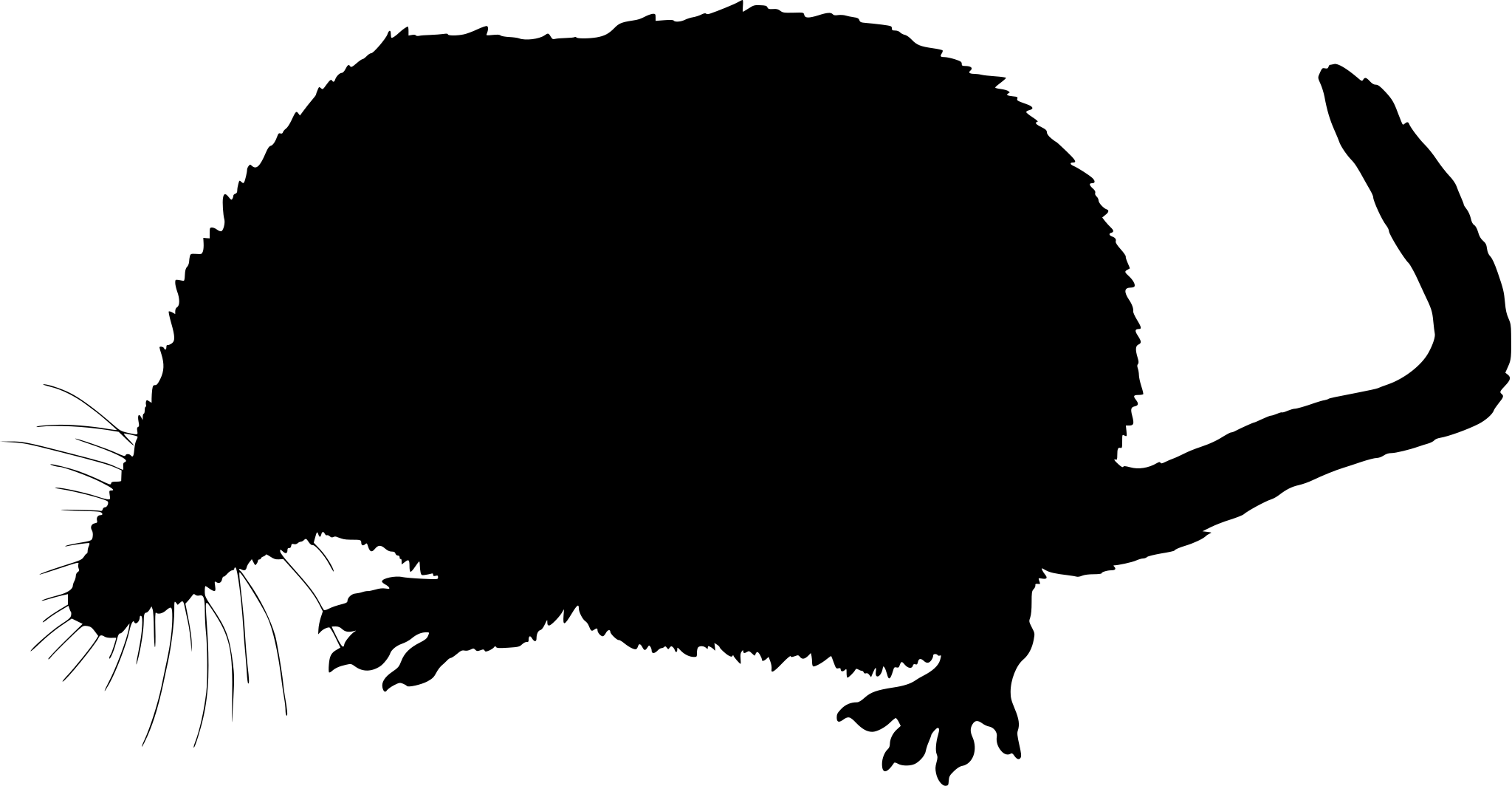
Masked Shrew in Michigan

Sorex cinereus

Native to Michigan S5 Secure in Michigan

Not listed as nonindigenous in Michigan by USGS NAS; native to its Michigan range.

IUCN Red List status

  1. LC
  2. NT
  3. VU
  4. EN
  5. CR
  6. EW
  7. EX

LC – Least Concern

Widespread and abundant; not at risk.

Masked Shrew in Michigan, by the numbers

Common in Michigan 23rd most recorded of 75 mammals logged in Michigan

2,476 occurrence records
43 with iNaturalist photos
Apr 20, 2026 Last seen in Michigan

Records from 2000–2026.

2,476 total records count every Michigan occurrence from GBIF and iNaturalist; the map plots a georeferenced sample of 300; the monthly chart covers the 2,368 records with a full observation date.

When to look for the Masked Shrew in Michigan

Most sightings fall in August.

2,368 Michigan occurrence records (iNaturalist and GBIF) by month of year, 2000–2026. Shows when the species is recorded, not a guarantee of presence.

Monthly Michigan records (table)
MonthRecords
January16
February27
March35
April112
May94
June234
July215
August906
September421
October231
November48
December29

Monthly masked shrew occurrence records (iNaturalist and GBIF) in Michigan, 2000–2026.

Seasonality

Year-round in Michigan, with recorded sightings peaking in August.

Occurrence map

Where Masked Shrew has been recorded in Michigan

300 records mapped · zoom and drag to explore

300 Michigan records mapped

Notable places to look

Park, forest, or monumentiNaturalist records
Houghton Lake State Wildlife Research Area 520
Ottawa National Forest 167
Pictured Rocks National Lakeshore 88
Rose Lake State Wildlife Area 68
University of Michigan Biological Station 51
Pigeon River Country State Forest Area 47
Mud Lake Bog Nature Preserve 44
Gwinn State Forest Area 43

Protected places with the most masked shrew sightings, from the USGS Protected Areas Database plus named mountain ranges, good spots to look, not a full breakdown, so they don't sum to the total.

Where it's recorded in Michigan

CountyRecords
Roscommon County 519
Cheboygan County 194
Gogebic County 182
Alger County 157
Washtenaw County 140
Crawford County 130
Marquette County 120
Chippewa County 107
Otsego County 85
Iron County 79
Ingham County 76
Clinton County 76
49 other counties 611

The complete county distribution, spread across 61 Michigan counties. Every occurrence record falls in one county, so these sum to the total. Counties from GBIF and US Census boundaries.

Cinereus shrew records connect several of Michigan’s major northern landscapes: Ottawa National Forest and the Keweenaw in the western Upper Peninsula, Seney’s wetland-forest mosaic in the east, and the Huron-Manistee forests below the Straits. The spread suggests records from moist forest floor, wet meadow edge, and woody debris across both peninsulas.

Michigan submissions rise in June and again from August through October. Small shrews are seldom noticed casually, so these records reflect trapping, close observation, and identification effort rather than abundance or a complete distribution map.
Occurrence data from iNaturalist and GBIF.

More mammals in Michigan in the atlas

Data & sources

The data and visualizations on this page draw on these open sources:

  • GBIFCC-BY 4.0occurrence records behind the range map, elevation, and record counts
  • iNaturalistCC0 / CC-BY / CC-BY-SAobservations, photos, and audio recordings
  • NatureServe ExplorerCC-BYthe state conservation rank
  • IUCN Red Listattributed factthe global conservation status
  • USGS NASpublic domainnative / introduced status
  • Natural Earthpublic domainthe relief basemap
  • USFSpublic domainnational-forest boundaries
  • USGS Protected Areas Databasepublic domainthe named parks, forests, and refuges behind "notable places to look"




