Colorado mammals

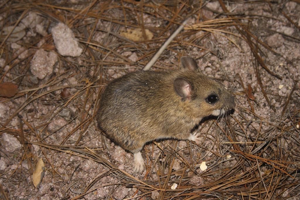
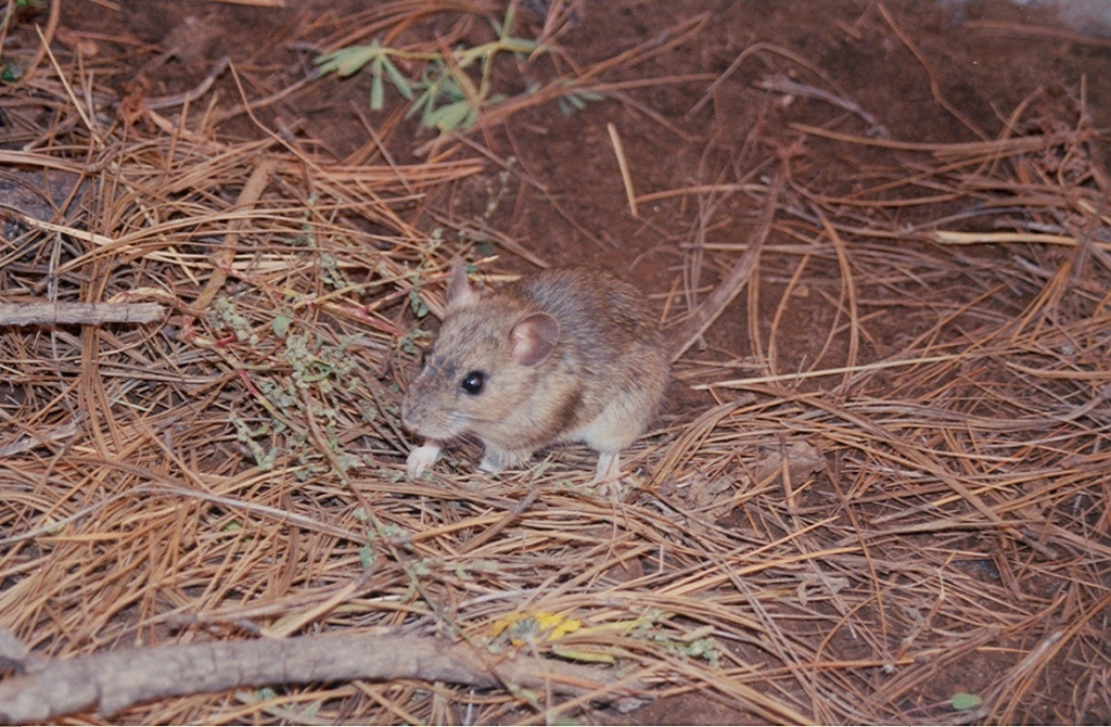
Mexican Woodrat in Colorado

Neotoma mexicana

Native to Colorado S4 Apparently Secure in Colorado

Not listed as nonindigenous in Colorado by USGS NAS; native to its Colorado range.

IUCN Red List status

  1. LC
  2. NT
  3. VU
  4. EN
  5. CR
  6. EW
  7. EX

LC – Least Concern

Widespread and abundant; not at risk.

Mexican Woodrat in Colorado, by the numbers

Occasional in Colorado 62nd most recorded of 154 mammals logged in Colorado

173 occurrence records
14 with iNaturalist photos
Sep 23, 2025 Last seen in Colorado

Records from 2000–2026.

When to look for the Mexican Woodrat in Colorado

Most sightings fall in June to September.

173 Colorado occurrence records (iNaturalist and GBIF) by month of year, 2000–2026. Shows when the species is recorded, not a guarantee of presence.

Monthly Colorado records (table)
MonthRecords
January2
February6
March3
April5
May11
June26
July32
August36
September39
October11
November1
December1

Monthly mexican woodrat occurrence records (iNaturalist and GBIF) in Colorado, 2000–2026.

Seasonality

Year-round in Colorado, with recorded sightings peaking in June–September.

Occurrence map

Where Mexican Woodrat has been recorded in Colorado

173 records mapped · zoom and drag to explore

173 Colorado records mapped

Notable places to look

Park, forest, or monumentiNaturalist records
Chatfield State Park 3
Canyons Of The Ancients National Monument 2
Navajo State Park 1
Roosevelt National Forest 1
Pike National Forest 1
Cherokee - Lower 1

Protected places with the most mexican woodrat sightings, from the USGS Protected Areas Database plus named mountain ranges, good spots to look, not a full breakdown, so they don't sum to the total.

Where it's recorded in Colorado

CountyRecords
Larimer County 84
Boulder County 20
Jefferson County 11
Las Animas County 9
Montezuma County 6
Douglas County 6
Conejos County 6
Pueblo County 5
Costilla County 5
El Paso County 5
Montrose County 4
Chaffee County 3
5 other counties 9

The complete county distribution, spread across 17 Colorado counties. Every occurrence record falls in one county, so these sum to the total. Counties from GBIF and US Census boundaries.

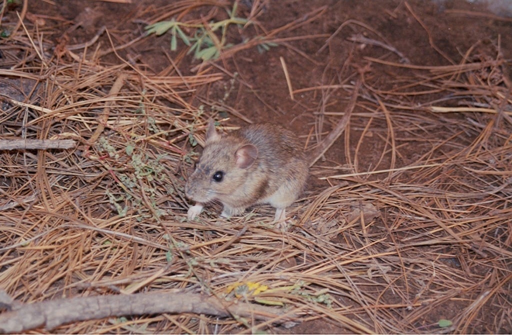
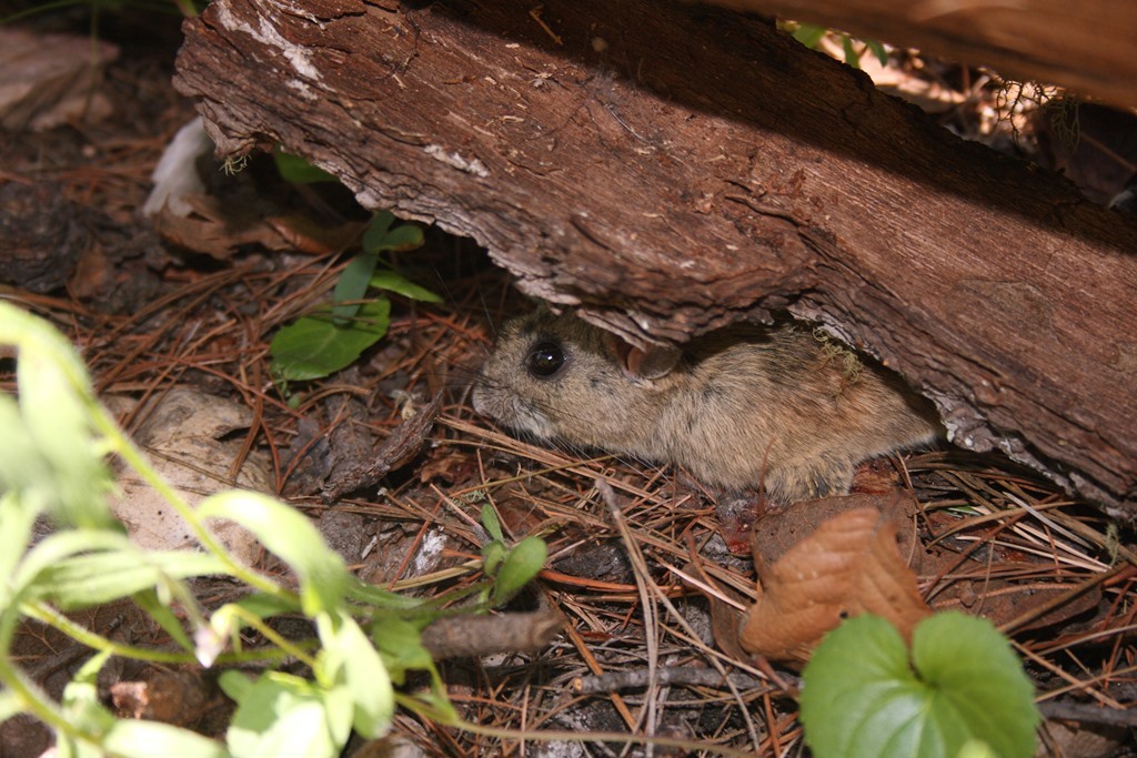
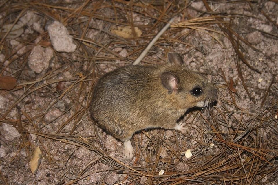
The Mexican woodrat is a fairly widespread rock-dweller in Colorado. Open occurrence databases hold 173 records for it here, most of them from museum and survey collections rather than photographs, since the animal is nocturnal and keeps to broken, rocky ground.

Cliffs, crevices, and pinyon slopes

Unlike its lowland desert cousins, this woodrat favors cooler rocky terrain: cliff faces, talus, canyon walls, and pinyon-juniper and conifer slopes from the foothills up into the montane forest. That kind of ground runs the length of the state’s mountain flank, so records span the northern Front Range in Larimer and Boulder counties and the southern canyon country of Las Animas and Montezuma. Wherever the rock is broken and the slopes are wooded, the Mexican woodrat is likely to be present.

A woodrat that skips the stick house

This species is unusual among pack rats for often doing without a big stick lodge. Where rock crevices, shelters, and small caves are on offer it simply dens inside them, so its presence is easy to overlook. It is a nocturnal vegetarian that caches leaves and plant matter in sheltered nooks, and its numbers climb into the record through the warmer months as the high rocky country becomes easier to reach.

Status in Colorado

NatureServe ranks the Mexican woodrat S4, apparently secure, in Colorado, the most stable of the state’s several woodrats and the one most likely to be met on a rocky mountain slope.
More mammals in Colorado in the atlas

Data & sources

The data and visualizations on this page draw on these open sources:

  • GBIFCC-BY 4.0occurrence records behind the range map, elevation, and record counts
  • iNaturalistCC0 / CC-BY / CC-BY-SAobservations, photos, and audio recordings
  • NatureServe ExplorerCC-BYthe state conservation rank
  • IUCN Red Listattributed factthe global conservation status
  • USGS NASpublic domainnative / introduced status
  • Natural Earthpublic domainthe relief basemap
  • USFSpublic domainnational-forest boundaries
  • USGS Protected Areas Databasepublic domainthe named parks, forests, and refuges behind "notable places to look"