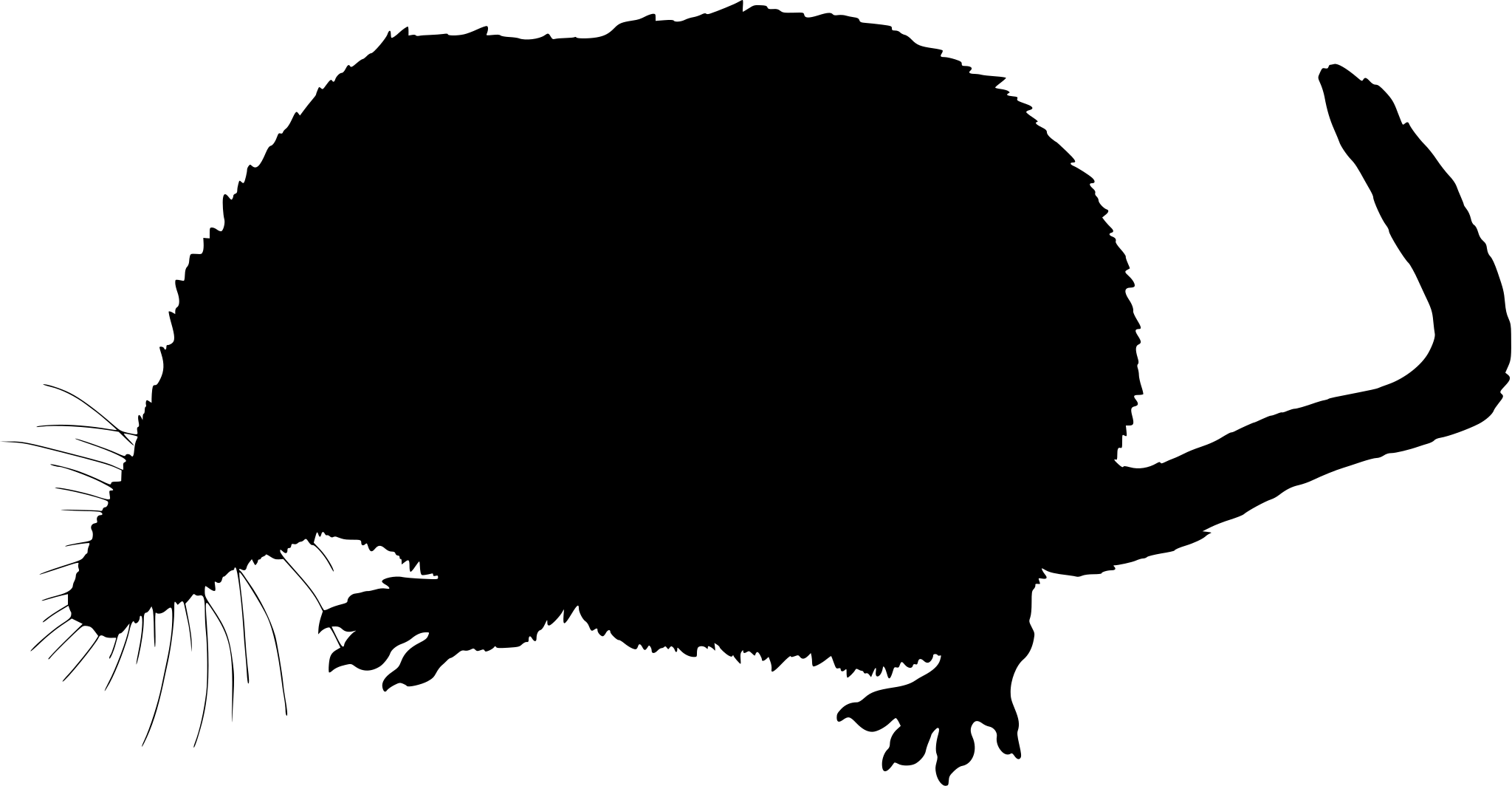
Oregon mammals

Montane Shrew in Oregon

Sorex monticolus

Native to Oregon

Not listed as nonindigenous in Oregon by USGS NAS; treated as native to its mapped Oregon range.

IUCN Red List status

  1. LC
  2. NT
  3. VU
  4. EN
  5. CR
  6. EW
  7. EX

LC – Least Concern

Widespread and abundant; not at risk.

Montane Shrew in Oregon, by the numbers

Common in Oregon 35th most recorded of 178 mammals logged in Oregon

601 occurrence records

Records from 2000–2026.

601 total records count every Oregon occurrence from GBIF and iNaturalist; the map plots a georeferenced sample of 300; the monthly chart covers the 599 records with a full observation date.

When to look for the Montane Shrew in Oregon

Most sightings fall in June to September.

599 Oregon occurrence records (iNaturalist and GBIF) by month of year, 2000–2026. Shows when the species is recorded, not a guarantee of presence.

Monthly Oregon records (table)
MonthRecords
January4
February5
March2
April12
May55
June103
July101
August97
September147
October72
November1
December0

Monthly montane shrew occurrence records (iNaturalist and GBIF) in Oregon, 2000–2026.

Seasonality

Year-round in Oregon, with recorded sightings peaking in June–September.

Occurrence map

Where Montane Shrew has been recorded in Oregon

300 records mapped · zoom and drag to explore

300 Oregon records mapped

Notable places to look

Park, forest, or monumentiNaturalist records
Three Sisters Wilderness 9
Steens Mountain Wilderness Area 7
Siuslaw National Forest 3
Mark O. Hatfield Wilderness 2
Strawberry Mountain Wilderness 1
Umatilla National Forest 1
Netarts Spit State Natural Area Reserve 1
Eagle Cap Wilderness 1

Protected places with the most montane shrew sightings, from the USGS Protected Areas Database plus named mountain ranges, good spots to look, not a full breakdown, so they don't sum to the total.

Where it's recorded in Oregon

CountyRecords
Grant County 117
Clackamas County 101
Multnomah County 96
Lane County 74
Harney County 65
Linn County 35
Tillamook County 20
Baker County 19
Union County 14
Jefferson County 14
Wheeler County 9
Crook County 6
10 other counties 31

The complete county distribution, spread across 22 Oregon counties. Every occurrence record falls in one county, so these sum to the total. Counties from GBIF and US Census boundaries.

Oregon’s monthly series contains only ten montane shrew observations: eight in June and two in July. Malheur and Klamath Marsh national wildlife refuges and the Willamette Valley refuges are the three areas named in this overlay. That brief early-summer cluster confirms reporting, not abundance or a complete activity season, and no record from another month or area does not establish absence.

More mammals in Oregon in the atlas

Data & sources

The data and visualizations on this page draw on these open sources:

  • GBIFCC-BY 4.0occurrence records behind the range map, elevation, and record counts
  • iNaturalistCC0 / CC-BY / CC-BY-SAobservations, photos, and audio recordings
  • IUCN Red Listattributed factthe global conservation status
  • USGS NASpublic domainnative / introduced status
  • Natural Earthpublic domainthe relief basemap
  • USFSpublic domainnational-forest boundaries
  • USGS Protected Areas Databasepublic domainthe named parks, forests, and refuges behind "notable places to look"