Utah mammals

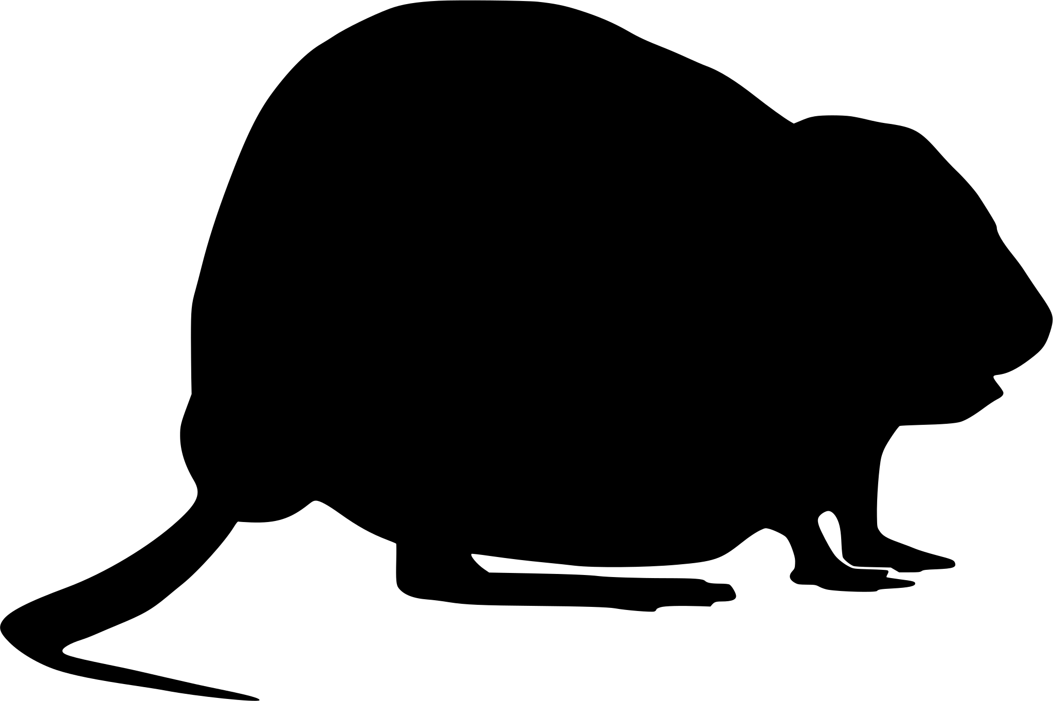
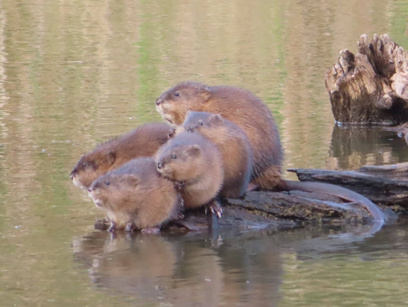
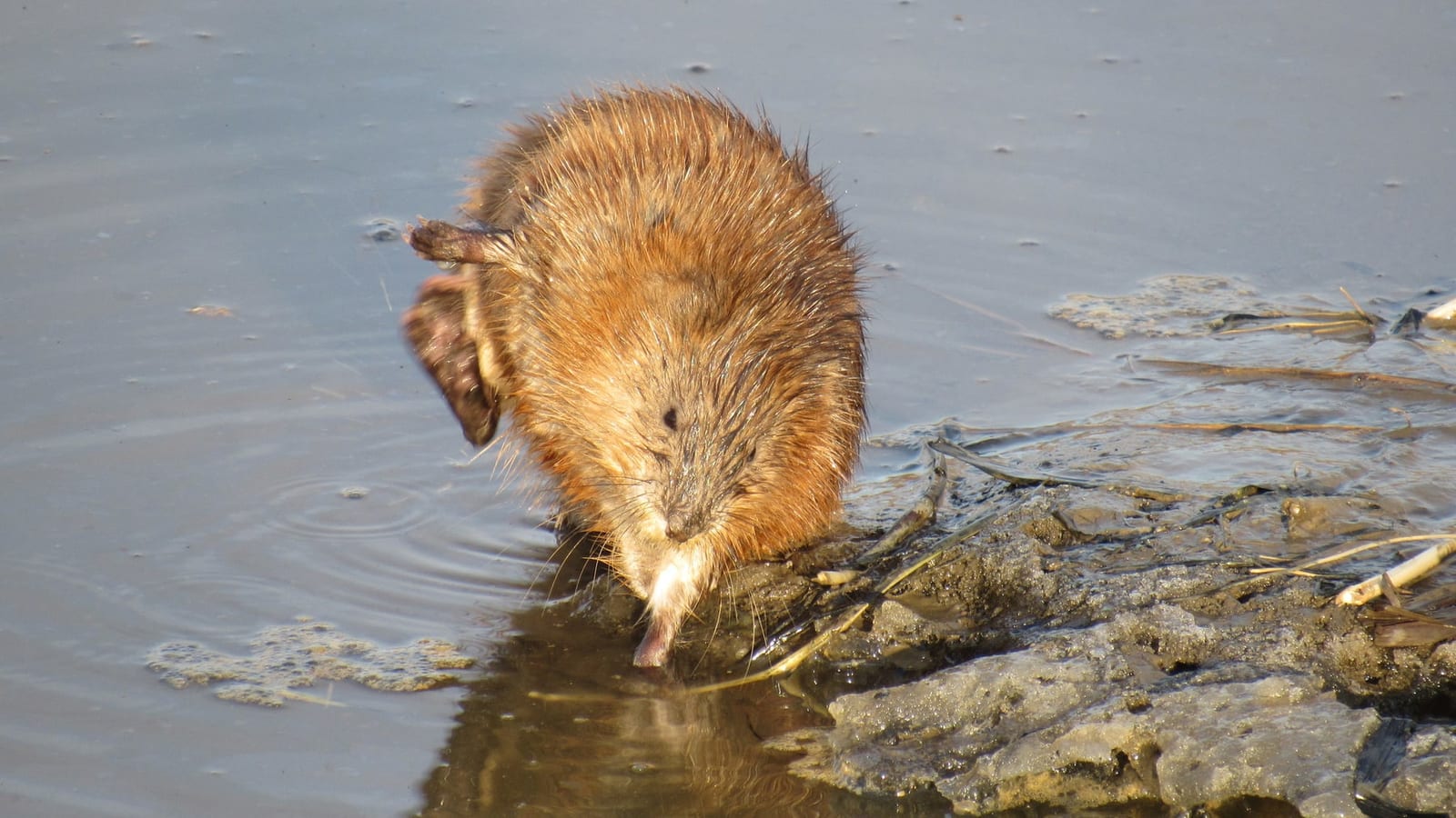
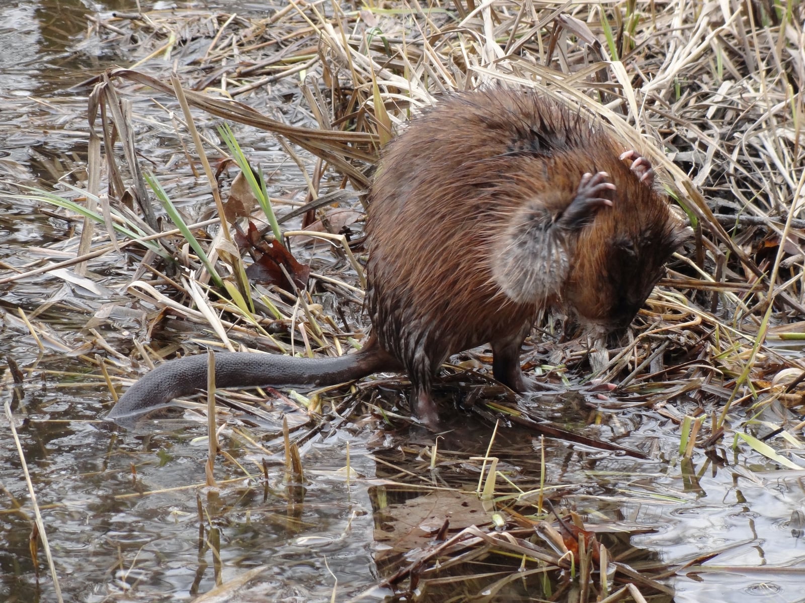
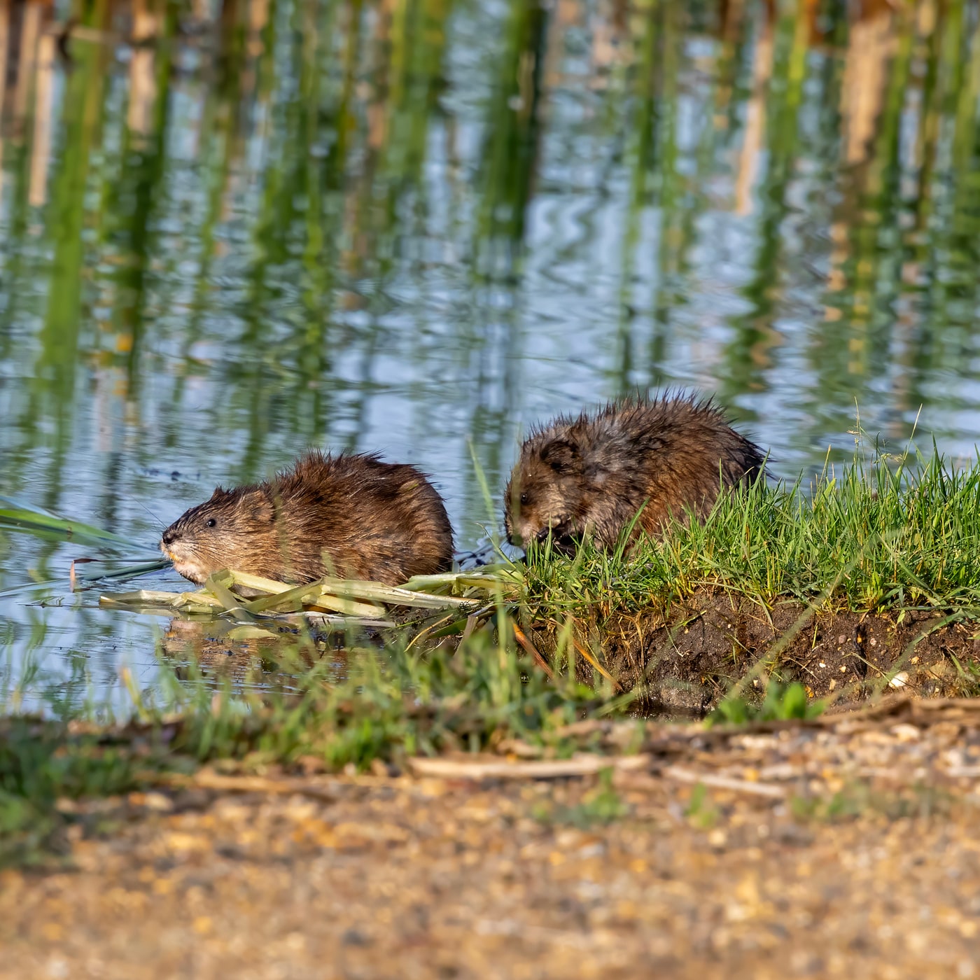
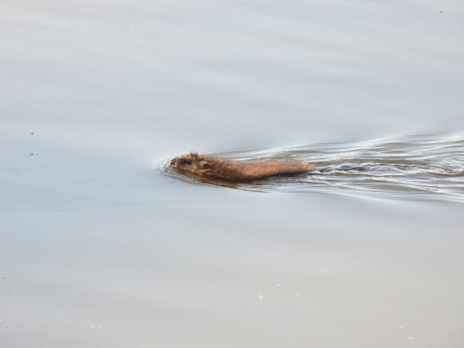
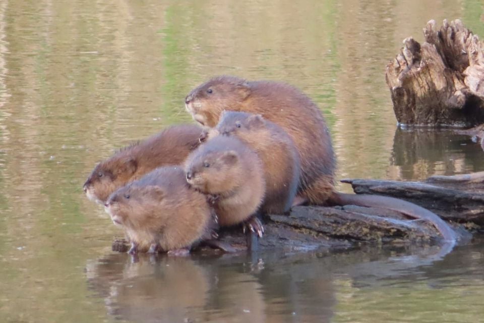
Muskrat in Utah

Ondatra zibethicus

Native to Utah S4 Apparently Secure in Utah

Not listed as nonindigenous in Utah by USGS NAS; native to its Utah range.

IUCN Red List status

  1. LC
  2. NT
  3. VU
  4. EN
  5. CR
  6. EW
  7. EX

LC – Least Concern

Widespread and abundant; not at risk.

Muskrat in Utah, by the numbers

Common in Utah 20th most recorded of 141 mammals logged in Utah

789 occurrence records
782 with iNaturalist photos
Jul 7, 2026 Last seen in Utah

Records from 2000–2026.

789 total records count every Utah occurrence from GBIF and iNaturalist; the map plots a georeferenced sample of 300; the monthly chart covers the 753 records with a full observation date.

When to look for the Muskrat in Utah

Most sightings fall in April to May.

753 Utah occurrence records (iNaturalist and GBIF) by month of year, 2000–2026. Shows when the species is recorded, not a guarantee of presence.

Monthly Utah records (table)
MonthRecords
January23
February57
March73
April143
May131
June71
July82
August52
September35
October26
November32
December28

Monthly muskrat occurrence records (iNaturalist and GBIF) in Utah, 2000–2026.

Seasonality

Year-round in Utah, with recorded sightings peaking in April–May.

Occurrence map

Where Muskrat has been recorded in Utah

300 records mapped · zoom and drag to explore

300 Utah records mapped

Notable places to look

Park, forest, or monumentiNaturalist records
Uinta National Forest 14
Cache National Forest 7
Dixie National Forest 4
Jordanelle State Park 4
Farmington Bay State Wildlife Area 4
Utah State Department of Wildlife Resources 165 4
Utah State Department of Wildlife Resources 124 3
Lee Kay State Wildlife Center 3

Protected places with the most muskrat sightings, from the USGS Protected Areas Database plus named mountain ranges, good spots to look, not a full breakdown, so they don't sum to the total.

Where it's recorded in Utah

CountyRecords
Salt Lake County 189
Davis County 172
Utah County 123
Box Elder County 76
Cache County 60
Summit County 22
Wasatch County 19
San Juan County 18
Weber County 13
Juab County 11
Garfield County 9
Washington County 9
11 other counties 68

The complete county distribution, spread across 23 Utah counties. Every occurrence record falls in one county, so these sum to the total. Counties from GBIF and US Census boundaries.

Utah’s muskrat records hug the Wasatch Front. Salt Lake County leads with 189, Davis County follows with 172, and Utah County adds 123, the string of cities squeezed between the mountains and the big lakes. That’s where most Utahns live, and it’s also where runoff-fed marshes spread along the shores of the Great Salt Lake and Utah Lake. Farmington Bay, a state wildlife area on the Great Salt Lake’s east shore, is among the named places.

Water in dry country

Away from the Front, records follow water wherever it surfaces. Juab County in the west desert holds 11, and Garfield and Washington counties in the south add 9 each, where spring-fed wetlands, reservoirs, and irrigation ditches give muskrats a foothold. Box Elder and Cache counties to the north take in the Bear River marshes and valley farmland. Uinta National Forest leads the named places, likely from reservoirs and stream edges below the peaks, and Jordanelle State Park’s reservoir appears too.

Nearly all of Utah’s 789 records, 782 of them, come from iNaturalist. Reports build from February to a high in April and May, ease through summer, and stay low from September through January.

NatureServe ranks the muskrat S4, apparently secure, in Utah, where it’s native.
Occurrence data from iNaturalist and GBIF.

Muskrat in other states

Muskrat range map (all states)

More mammals in Utah in the atlas

Data & sources

The data and visualizations on this page draw on these open sources:

  • GBIFCC-BY 4.0occurrence records behind the range map, elevation, and record counts
  • iNaturalistCC0 / CC-BY / CC-BY-SAobservations, photos, and audio recordings
  • NatureServe ExplorerCC-BYthe state conservation rank
  • IUCN Red Listattributed factthe global conservation status
  • USGS NASpublic domainnative / introduced status
  • Natural Earthpublic domainthe relief basemap
  • USFSpublic domainnational-forest boundaries
  • USGS Protected Areas Databasepublic domainthe named parks, forests, and refuges behind "notable places to look"