Montana mammals

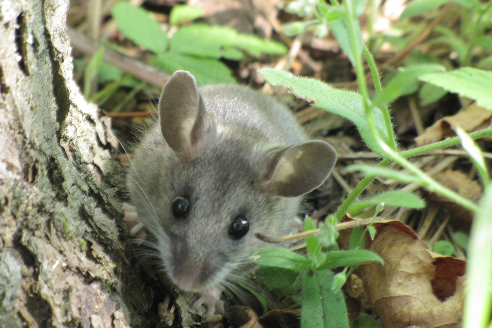
North American Deermouse in Montana

Peromyscus maniculatus

Native to Montana S5 Secure in Montana

Not listed as nonindigenous in Montana by USGS NAS; native to its Montana range.

IUCN Red List status

  1. LC
  2. NT
  3. VU
  4. EN
  5. CR
  6. EW
  7. EX

LC – Least Concern

Widespread and abundant; not at risk.

North American Deermouse in Montana, by the numbers

Common in Montana 15th most recorded of 122 mammals logged in Montana

663 occurrence records

Records from 2000–2026.

663 total records count every Montana occurrence from GBIF and iNaturalist; the map plots a georeferenced sample of 300; the monthly chart covers the 659 records with a full observation date.

When to look for the North American Deermouse in Montana

Most sightings fall in July to August.

659 Montana occurrence records (iNaturalist and GBIF) by month of year, 2000–2026. Shows when the species is recorded, not a guarantee of presence.

Monthly Montana records (table)
MonthRecords
January8
February1
March3
April10
May14
June63
July252
August192
September81
October5
November29
December1

Monthly north american deermouse occurrence records (iNaturalist and GBIF) in Montana, 2000–2026.

Seasonality

Year-round in Montana, with recorded sightings peaking in July–August.

Occurrence map

Where North American Deermouse has been recorded in Montana

300 records mapped · zoom and drag to explore

300 Montana records mapped

Notable places to look

Park, forest, or monumentiNaturalist records
Gallatin National Forest 6
Glacier National Park 4
Montana State Trust Lands 2
Deerlodge National Forest 1
Lewis and Clark Caverns State Park 1
Montana University System 1

Protected places with the most north american deermouse sightings, from the USGS Protected Areas Database plus named mountain ranges, good spots to look, not a full breakdown, so they don't sum to the total.

Where it's recorded in Montana

CountyRecords
Valley County 155
Phillips County 101
Madison County 79
Silver Bow County 73
Deer Lodge County 49
Beaverhead County 40
Lake County 39
Missoula County 29
Gallatin County 12
Mineral County 12
Carbon County 8
Rosebud County 8
18 other counties 58

The complete county distribution, spread across 30 Montana counties. Every occurrence record falls in one county, so these sum to the total. Counties from GBIF and US Census boundaries.

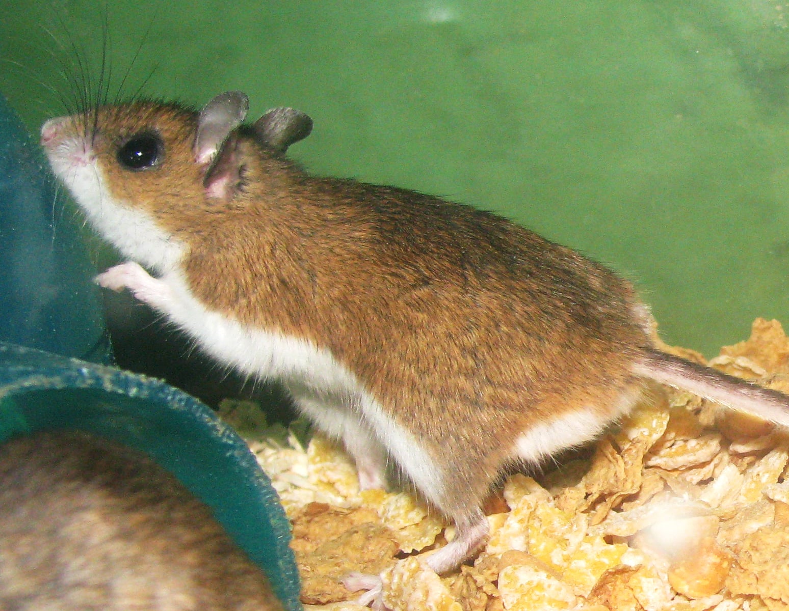
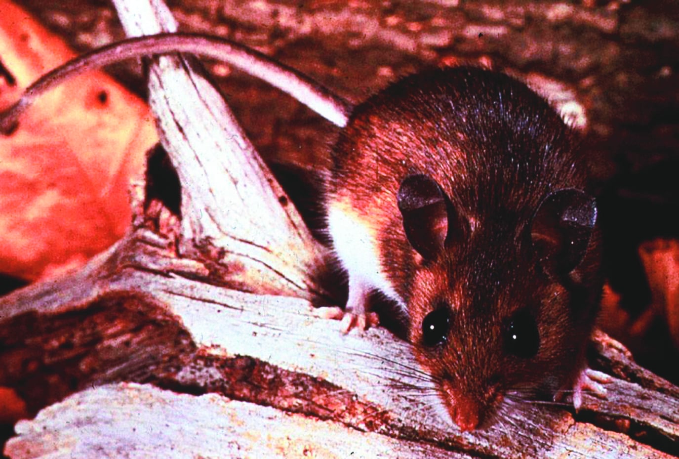
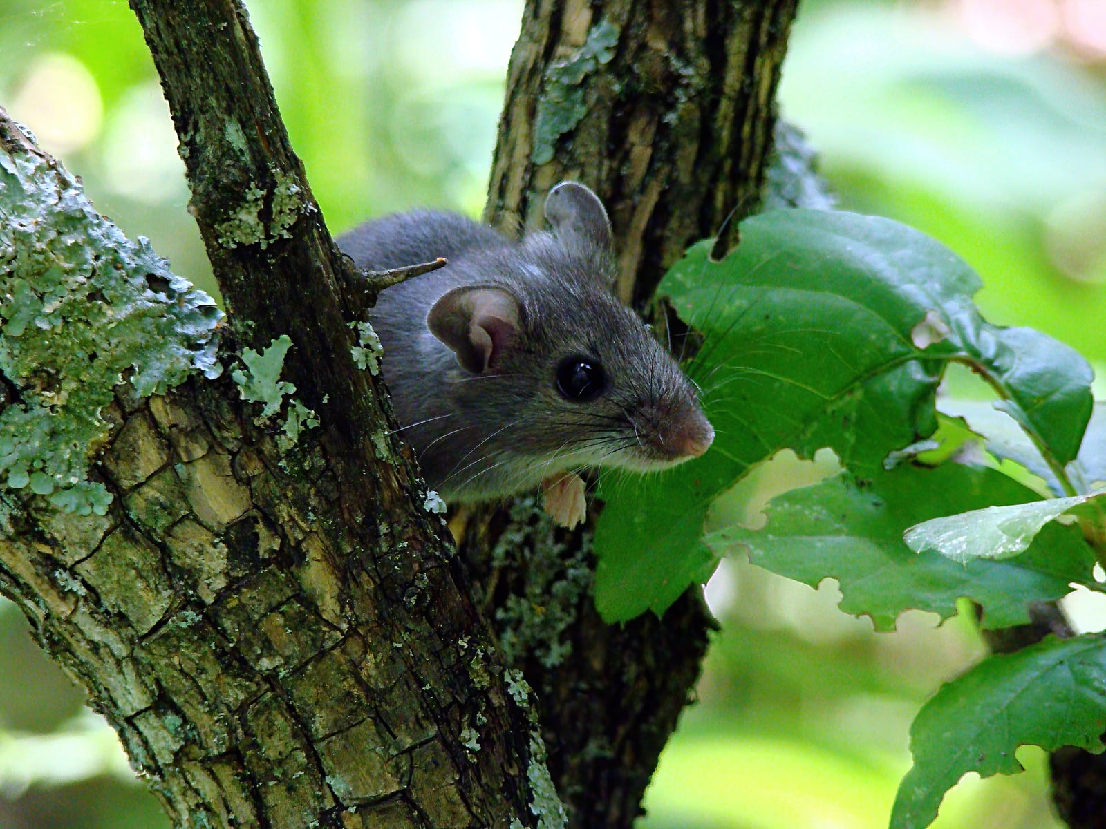
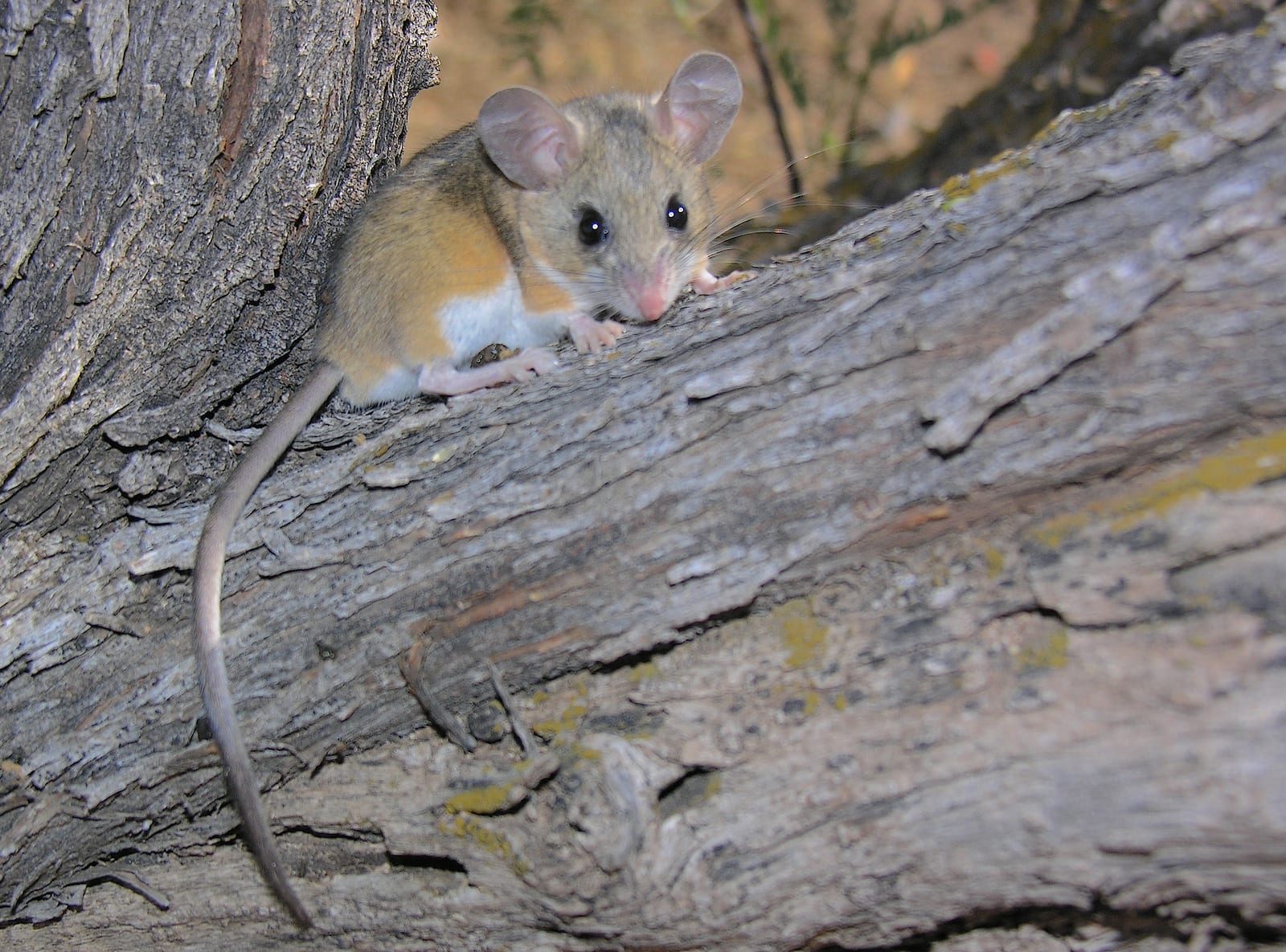
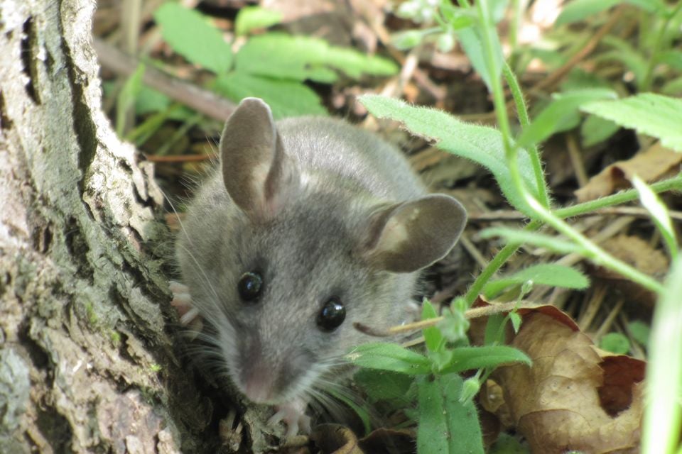
North American Deermouse is the more formal name for what most people call the deer mouse, likely the single most widely distributed native rodent on the continent. Montana’s 663 mapped records for it come entirely from GBIF specimen data, not photo apps, since telling this species apart from its close cousins by eye alone is genuinely difficult.

The listed locations, Red Rock Lakes National Wildlife Refuge, Flathead Lake, and the Missouri River corridor, span wetland, lakeshore, and river-bottom terrain. That range mirrors the species’ own tolerance: it does not specialize in one type of ground, which is a large part of why it shows up almost everywhere researchers look.

July and August carry the heaviest count of records, by a wide margin over the rest of the year. Small-mammal field crews concentrate their trapping effort in those two months, so the summer spike says more about survey timing than about the mouse disappearing in winter.

More mammals in Montana in the atlas

Data & sources

The data and visualizations on this page draw on these open sources:

  • GBIFCC-BY 4.0occurrence records behind the range map, elevation, and record counts
  • iNaturalistCC0 / CC-BY / CC-BY-SAobservations, photos, and audio recordings
  • NatureServe ExplorerCC-BYthe state conservation rank
  • IUCN Red Listattributed factthe global conservation status
  • USGS NASpublic domainnative / introduced status
  • Natural Earthpublic domainthe relief basemap
  • USFSpublic domainnational-forest boundaries
  • USGS Protected Areas Databasepublic domainthe named parks, forests, and refuges behind "notable places to look"