
Tennessee mammals

North American Least Shrew in Tennessee

Cryptotis parvus

Native to Tennessee S5 Secure in Tennessee

Not listed as nonindigenous in Tennessee by USGS NAS; native to its Tennessee range.

IUCN Red List status

  1. LC
  2. NT
  3. VU
  4. EN
  5. CR
  6. EW
  7. EX

LC – Least Concern

Widespread and abundant; not at risk.

North American Least Shrew in Tennessee, by the numbers

Occasional in Tennessee 40th most recorded of 86 mammals logged in Tennessee

291 occurrence records
29 with iNaturalist photos
Jun 2, 2026 Last seen in Tennessee

Records from 2000–2026.

291 total records count every Tennessee occurrence from GBIF and iNaturalist; the map plots a georeferenced sample of 290; the monthly chart covers the 246 records with a full observation date.

When to look for the North American Least Shrew in Tennessee

Most sightings fall in October to November.

246 Tennessee occurrence records (iNaturalist and GBIF) by month of year, 2000–2026. Shows when the species is recorded, not a guarantee of presence.

Monthly Tennessee records (table)
MonthRecords
January7
February5
March27
April14
May22
June19
July15
August12
September7
October48
November47
December23

Monthly north american least shrew occurrence records (iNaturalist and GBIF) in Tennessee, 2000–2026.

Seasonality

Year-round in Tennessee, with recorded sightings peaking in October–November.

Occurrence map

Where North American Least Shrew has been recorded in Tennessee

290 records mapped · zoom and drag to explore

290 Tennessee records mapped

Notable places to look

Park, forest, or monumentiNaturalist records
Great Smoky Mountains National Park 10
Kyker Bottoms Wildlife Management Area 3
Long Pond Wildlife Management Area 3
Fort Donelson National Battlefield 1
Fall Creek Falls 1
Colditz Cove Designated State Natural Area 1
North Cherokee National Forest & Wildlife Management Area 1
North Chickamauga Creek Wildlife Management Area 1

Protected places with the most north american least shrew sightings, from the USGS Protected Areas Database plus named mountain ranges, good spots to look, not a full breakdown, so they don't sum to the total.

Where it's recorded in Tennessee

CountyRecords
Shelby County 58
Gibson County 50
Sevier County 26
Cheatham County 19
Fayette County 17
Haywood County 12
Hamilton County 9
Knox County 9
Marion County 6
Blount County 5
Stewart County 5
Bledsoe County 5
35 other counties 70

The complete county distribution, spread across 47 Tennessee counties. Every occurrence record falls in one county, so these sum to the total. Counties from GBIF and US Census boundaries.

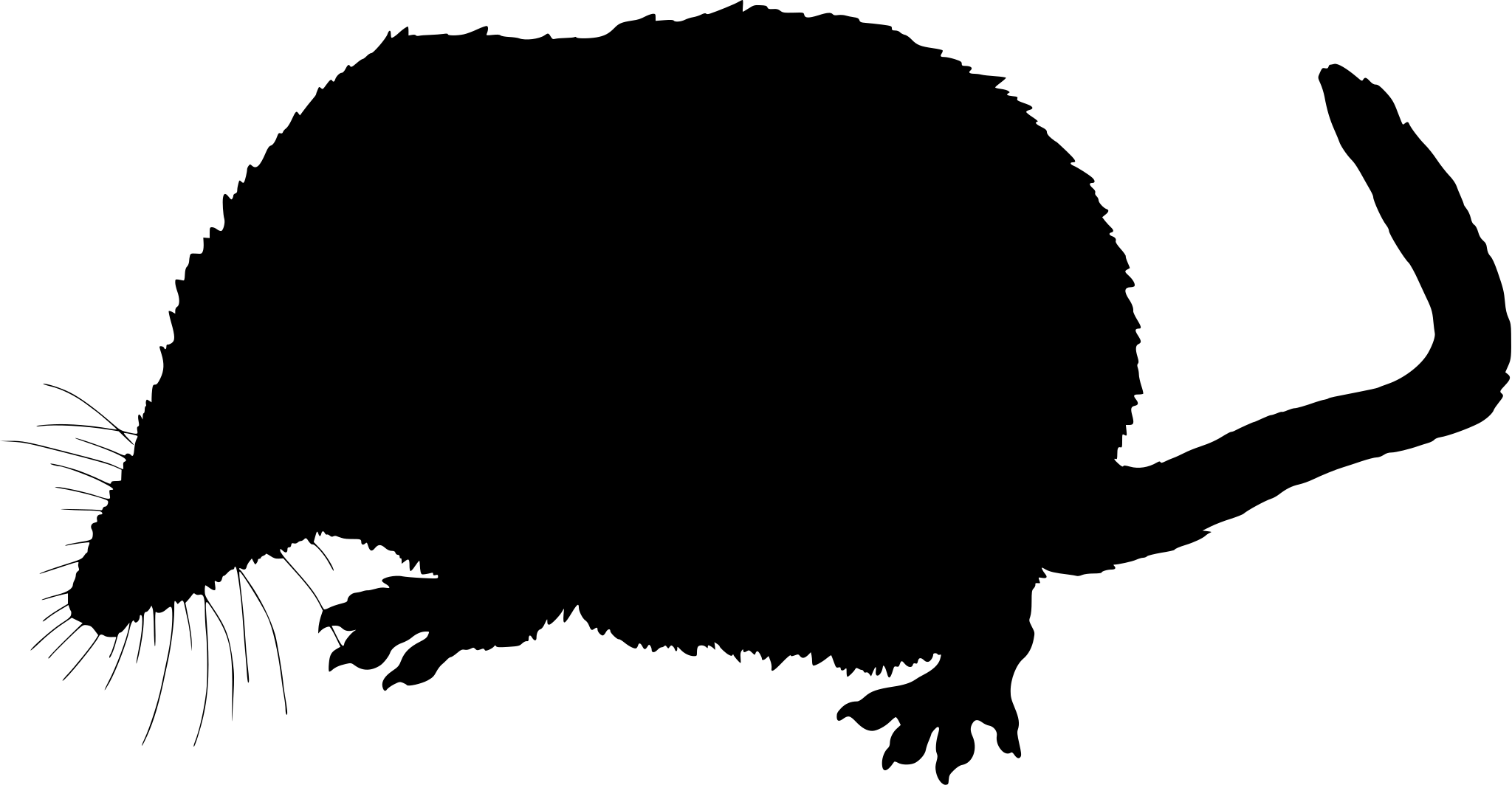
Tennessee’s least shrew records are sparse: just 29 iNaturalist observations statewide, and only one names a specific site, Great Smoky Mountains National Park. That’s typical for this species. It spends most of its life under leaf litter and thick grass, rarely exposed where someone would photograph it. Nearly all the state’s documented sightings fall within the eastern mountains, the one landscape band where enough observers have looked closely enough to find one.

The record count peaks three times: May, June, and November each show the year’s highest monthly tally, 12 sightings apiece, while January through April and late summer sit at two or three. That spring-into-summer-and-fall split hints at seasonal activity or breeding pulses rather than one single peak season. With a sample this small, though, a few extra sightings in any one month can shift the pattern considerably.
Occurrence data from iNaturalist.

More mammals in Tennessee in the atlas

Data & sources

The data and visualizations on this page draw on these open sources:

  • GBIFCC-BY 4.0occurrence records behind the range map, elevation, and record counts
  • iNaturalistCC0 / CC-BY / CC-BY-SAobservations, photos, and audio recordings
  • NatureServe ExplorerCC-BYthe state conservation rank
  • IUCN Red Listattributed factthe global conservation status
  • USGS NASpublic domainnative / introduced status
  • Natural Earthpublic domainthe relief basemap
  • USFSpublic domainnational-forest boundaries
  • USGS Protected Areas Databasepublic domainthe named parks, forests, and refuges behind "notable places to look"




