
Colorado mammals

Northern Grasshopper Mouse in Colorado

Onychomys leucogaster

Native to Colorado S5 Secure in Colorado

Not listed as nonindigenous in Colorado by USGS NAS; native to its Colorado range.

IUCN Red List status

  1. LC
  2. NT
  3. VU
  4. EN
  5. CR
  6. EW
  7. EX

LC – Least Concern

Widespread and abundant; not at risk.

Northern Grasshopper Mouse in Colorado, by the numbers

Common in Colorado 18th most recorded of 154 mammals logged in Colorado

2,441 occurrence records
4 with iNaturalist photos
Dec 15, 2024 Last seen in Colorado

Records from 2000–2026.

2,441 total records count every Colorado occurrence from GBIF and iNaturalist; the map plots a georeferenced sample of 300; the monthly chart covers the 2,435 records with a full observation date.

When to look for the Northern Grasshopper Mouse in Colorado

Most sightings fall in June to September.

2,435 Colorado occurrence records (iNaturalist and GBIF) by month of year, 2000–2026. Shows when the species is recorded, not a guarantee of presence.

Monthly Colorado records (table)
MonthRecords
January23
February5
March26
April135
May245
June418
July390
August335
September519
October301
November25
December13

Monthly northern grasshopper mouse occurrence records (iNaturalist and GBIF) in Colorado, 2000–2026.

Seasonality

Year-round in Colorado, with recorded sightings peaking in June–September.

Occurrence map

Where Northern Grasshopper Mouse has been recorded in Colorado

300 records mapped · zoom and drag to explore

300 Colorado records mapped

Notable places to look

Park, forest, or monumentiNaturalist records
Pawnee National Grassland 180
Dinosaur National Monument 30
Great Sand Dunes National Park 29
Tamarack Ranch 25
Pueblo 4
Flagler 2
Two Buttes 2
San Luis 2

Protected places with the most northern grasshopper mouse sightings, from the USGS Protected Areas Database plus named mountain ranges, good spots to look, not a full breakdown, so they don't sum to the total.

Where it's recorded in Colorado

CountyRecords
Logan County 1,570
Weld County 187
Yuma County 101
Las Animas County 83
El Paso County 68
Baca County 66
Moffat County 61
Alamosa County 36
Adams County 35
Bent County 29
Boulder County 29
Washington County 22
26 other counties 154

The complete county distribution, spread across 38 Colorado counties. Every occurrence record falls in one county, so these sum to the total. Counties from GBIF and US Census boundaries.

Colorado holds more documented records of the northern grasshopper mouse than any other state, and the geography behind that number makes sense once you look at what this predator-mouse actually needs.

Open ground from the northeastern plains to the San Luis Valley

The heaviest concentration sits in Logan County’s shortgrass prairie on the far northeastern plains, with a second cluster running down the lower Arkansas River valley through Las Animas, Bent, and Baca counties near Comanche National Grassland. A separate pocket of records comes from Alamosa County in the San Luis Valley, a high desert basin walled in by mountains on every side. All three settings share the same open, sparsely vegetated ground this mouse needs to hunt across, even though they sit in very different corners of the state.

A mouse that hunts scorpions and calls like a tiny wolf

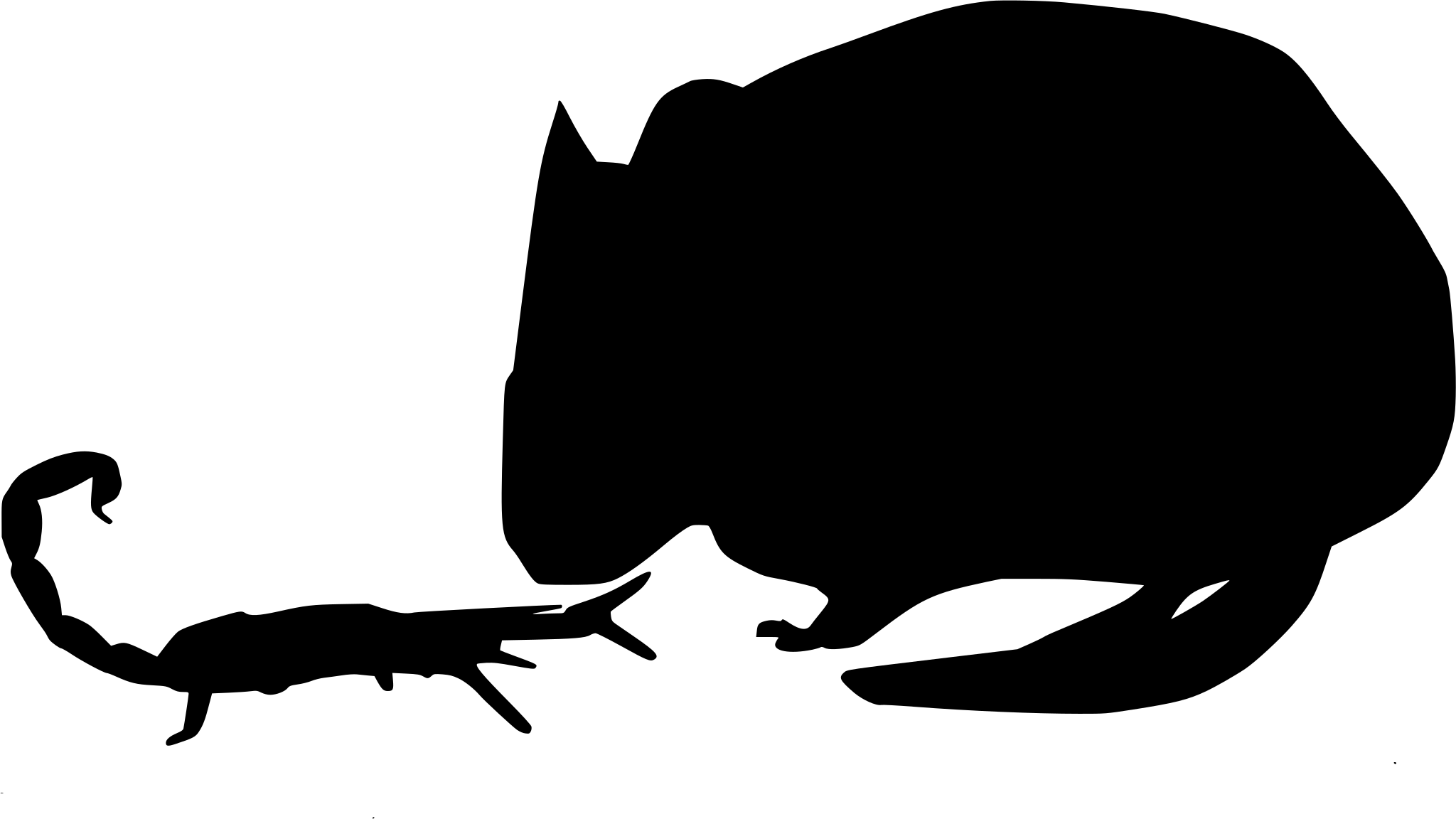
Unlike most mice, this species is a genuine predator, taking grasshoppers, beetles, crickets, and even scorpions, with some resistance to the sting that would deter other small hunters. At night, an adult may rear back and give a long, high call across open ground, a territorial habit that’s earned it comparisons to a miniature howl.

Status in Colorado

NatureServe ranks the species S5, secure, in Colorado, and the state’s database treats it as native across its mapped range here. Records run heaviest from June through October, tracking the warm months when this open-country hunter is most active and most often picked up by trapping and survey work.
Occurrence data from iNaturalist and GBIF.

More mammals in Colorado in the atlas

Data & sources

The data and visualizations on this page draw on these open sources:

  • GBIFCC-BY 4.0occurrence records behind the range map, elevation, and record counts
  • iNaturalistCC0 / CC-BY / CC-BY-SAobservations, photos, and audio recordings
  • NatureServe ExplorerCC-BYthe state conservation rank
  • IUCN Red Listattributed factthe global conservation status
  • USGS NASpublic domainnative / introduced status
  • Natural Earthpublic domainthe relief basemap
  • USFSpublic domainnational-forest boundaries
  • USGS Protected Areas Databasepublic domainthe named parks, forests, and refuges behind "notable places to look"




