Montana mammals

Northern pocket gopher in Montana

Thomomys talpoides

Native to Montana S5 Secure in Montana

Not listed as nonindigenous in Montana by USGS NAS; native to its Montana range.

IUCN Red List status

  1. LC
  2. NT
  3. VU
  4. EN
  5. CR
  6. EW
  7. EX

LC – Least Concern

Widespread and abundant; not at risk.

Northern pocket gopher in Montana, by the numbers

Occasional in Montana 46th most recorded of 122 mammals logged in Montana

87 occurrence records
65 with iNaturalist photos

Records from 2000–2026.

87 total records count every Montana occurrence from GBIF and iNaturalist; the map plots a georeferenced sample of 78; the monthly chart covers the 78 records with a full observation date.

When to look for the Northern pocket gopher in Montana

Most sightings fall in July.

78 Montana occurrence records (iNaturalist and GBIF) by month of year, 2000–2026. Shows when the species is recorded, not a guarantee of presence.

Monthly Montana records (table)
MonthRecords
January2
February1
March3
April3
May5
June15
July26
August8
September11
October4
November0
December0

Monthly northern pocket gopher occurrence records (iNaturalist and GBIF) in Montana, 2000–2026.

Seasonality

Year-round in Montana, with recorded sightings peaking in July.

Occurrence map

Where Northern pocket gopher has been recorded in Montana

78 records mapped · zoom and drag to explore

78 Montana records mapped

Notable places to look

Park, forest, or monumentiNaturalist records
Gallatin National Forest 2
Custer National Forest 2
Selway-Bitterroot Wilderness 1
Lewis & Clark National Forest 1
Erskine Fishing Access Site 1
Helena National Forest 1
Warm Springs Wildlife Management Area 1
Montana State Trust Lands 1

Protected places with the most northern pocket gopher sightings, from the USGS Protected Areas Database plus named mountain ranges, good spots to look, not a full breakdown, so they don't sum to the total.

Where it's recorded in Montana

CountyRecords
Gallatin County 19
Missoula County 7
Madison County 6
Meagher County 4
Lewis and Clark County 4
Lincoln County 3
Park County 3
Carbon County 3
Flathead County 3
Mineral County 2
Lake County 2
Rosebud County 2
15 other counties 29

The complete county distribution, spread across 27 Montana counties. Every occurrence record falls in one county, so these sum to the total. Counties from GBIF and US Census boundaries.

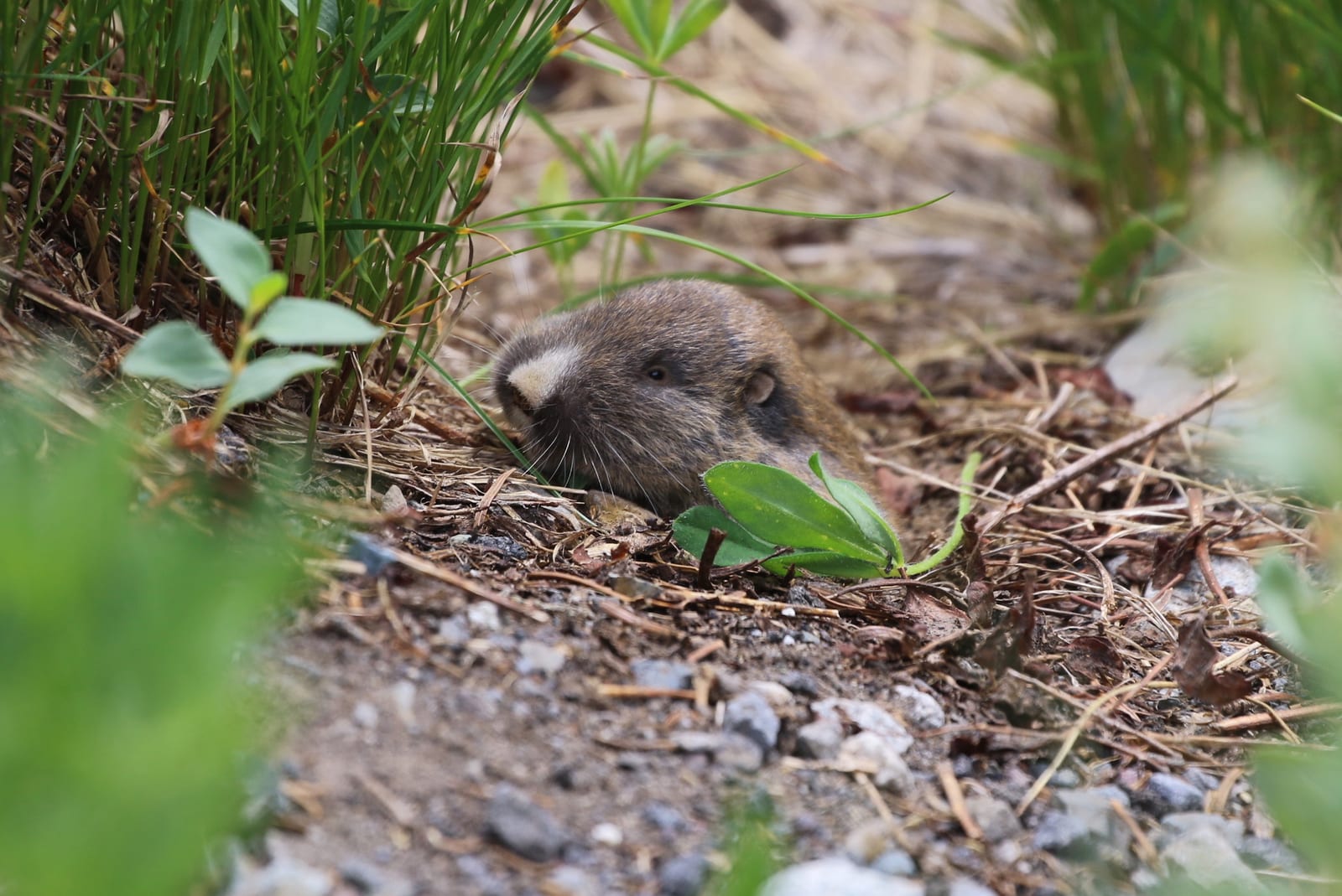
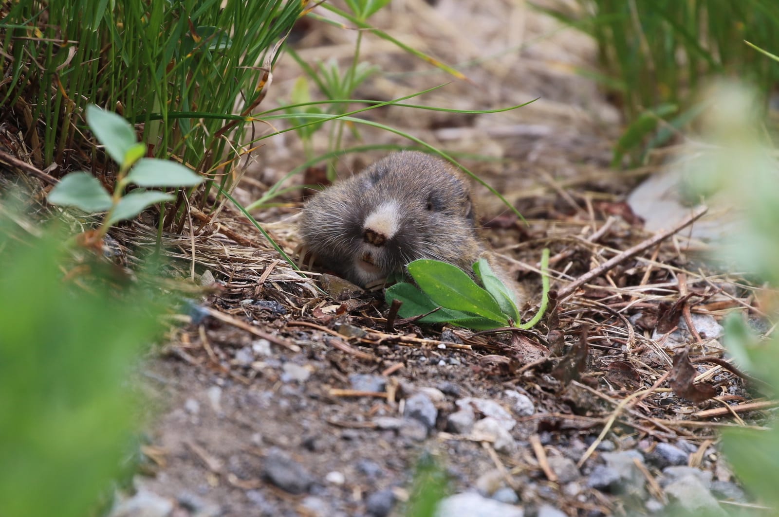
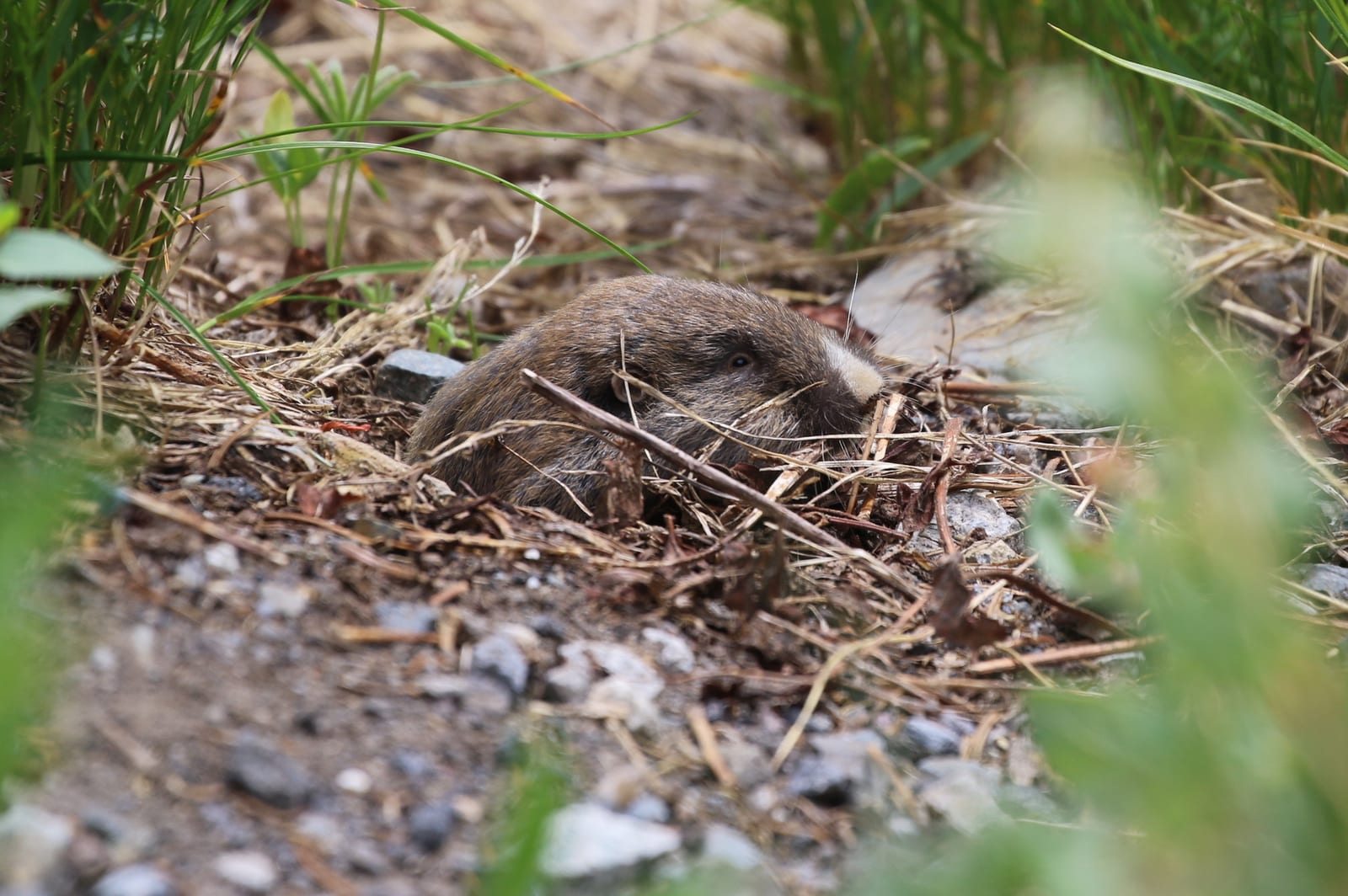
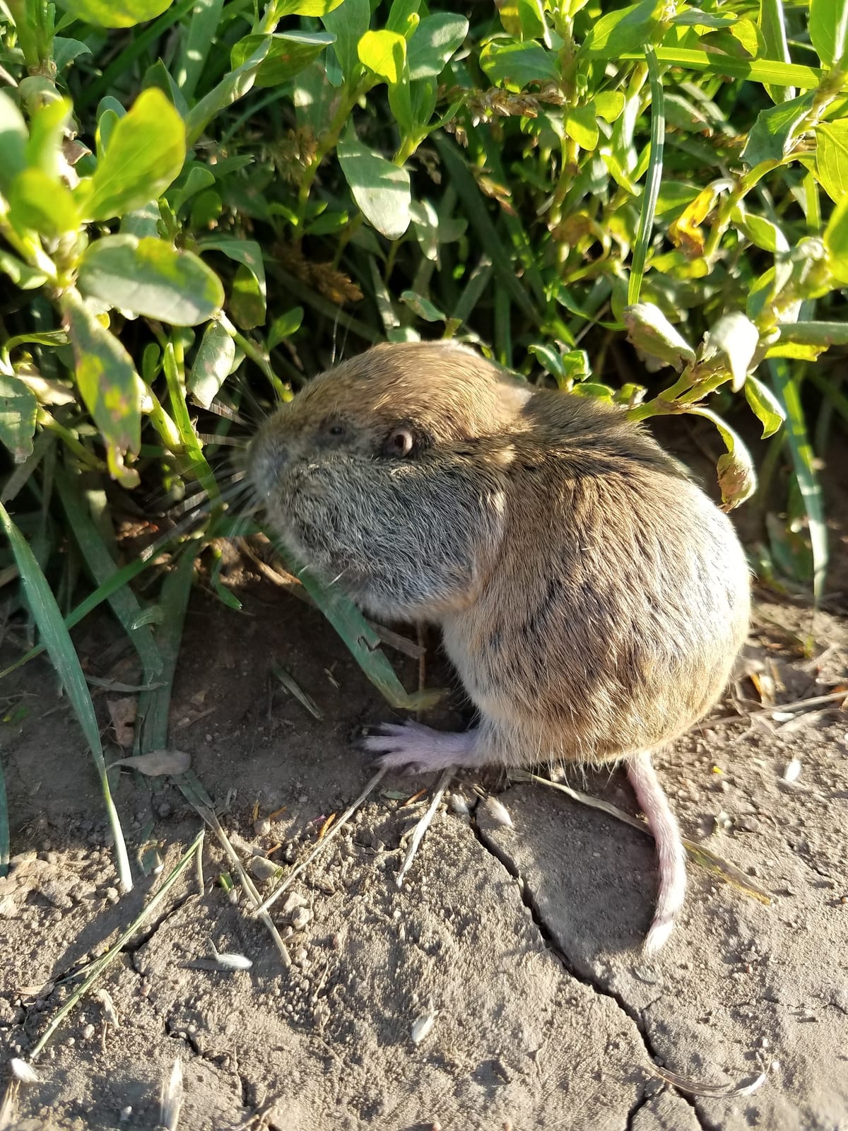
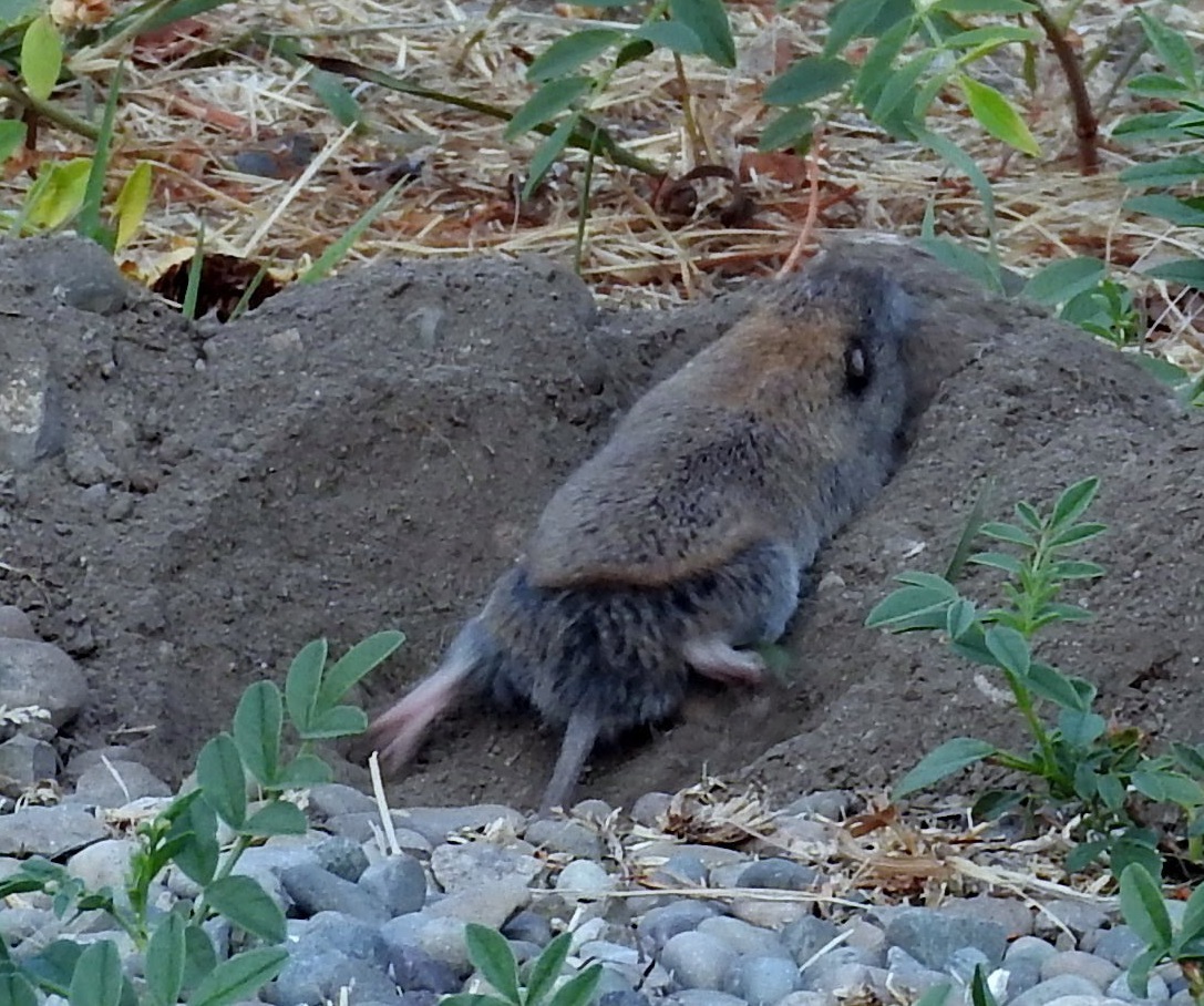
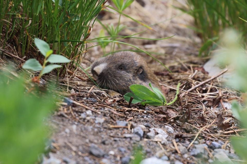
Northern pocket gophers spend nearly their entire lives underground, using fur-lined external cheek pouches to haul roots and tubers back to a burrow system rather than eating on the surface, and the loose meadow and prairie soil across Montana, from Custer National Forest to the Warm Springs Wildlife Management Area, gives them exactly the digging conditions they need. With 87 records, this is one of the better-documented small mammals in this rank range.

Records climb sharply into a July peak of 26 and fall to none in November and December, likely tracking when soft summer soil makes fresh mound-building easiest to spot rather than a true seasonal shift, since this species stays active underground, even tunneling through snow, all year. NatureServe rates it secure (S5) statewide.
Occurrence data from iNaturalist and GBIF.

More mammals in Montana in the atlas

Data & sources

The data and visualizations on this page draw on these open sources:

  • GBIFCC-BY 4.0occurrence records behind the range map, elevation, and record counts
  • iNaturalistCC0 / CC-BY / CC-BY-SAobservations, photos, and audio recordings
  • NatureServe ExplorerCC-BYthe state conservation rank
  • IUCN Red Listattributed factthe global conservation status
  • USGS NASpublic domainnative / introduced status
  • Natural Earthpublic domainthe relief basemap
  • USFSpublic domainnational-forest boundaries
  • USGS Protected Areas Databasepublic domainthe named parks, forests, and refuges behind "notable places to look"