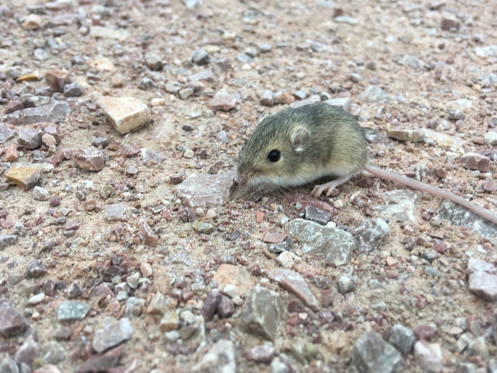
South Dakota mammals

Plains pocket mouse in South Dakota

Perognathus flavescens

Native to South Dakota S5 Secure in South Dakota

Not listed as nonindigenous in South Dakota by USGS NAS; native to its South Dakota range.

IUCN Red List status

  1. LC
  2. NT
  3. VU
  4. EN
  5. CR
  6. EW
  7. EX

LC – Least Concern

Widespread and abundant; not at risk.

Plains pocket mouse in South Dakota, by the numbers

Occasional in South Dakota 36th most recorded of 100 mammals logged in South Dakota

67 occurrence records

Records from 2000–2026.

67 total records count every South Dakota occurrence from GBIF and iNaturalist; the map plots a georeferenced sample of 66; the monthly chart covers the 66 records with a full observation date.

When to look for the Plains pocket mouse in South Dakota

Most sightings fall in July to August.

66 South Dakota occurrence records (iNaturalist and GBIF) by month of year, 2000–2026. Shows when the species is recorded, not a guarantee of presence.

Monthly South Dakota records (table)
MonthRecords
January0
February0
March0
April2
May1
June6
July29
August18
September3
October7
November0
December0

Monthly plains pocket mouse occurrence records (iNaturalist and GBIF) in South Dakota, 2000–2026.

Seasonality

Year-round in South Dakota, with recorded sightings peaking in July–August.

Occurrence map

Where Plains pocket mouse has been recorded in South Dakota

66 records mapped · zoom and drag to explore

66 South Dakota records mapped

Notable places to look

Park, forest, or monumentiNaturalist records
Dog Ear Lake 14
West Whitlock Recreation Area 9
State Lands 7

Protected places with the most plains pocket mouse sightings, from the USGS Protected Areas Database plus named mountain ranges, good spots to look, not a full breakdown, so they don't sum to the total.

Where it's recorded in South Dakota

CountyRecords
Bennett County 27
Tripp County 15
Potter County 9
Brown County 6
Clay County 5
Bon Homme County 2
Pennington County 2
Other localities 1

The complete county distribution, spread across 7 South Dakota counties. Every occurrence record falls in one county, so these sum to the total. Counties from GBIF and US Census boundaries.

South Dakota’s 67 plains pocket mouse records sketch the sandy southern tier of the state. Bennett and Tripp counties, side by side along the Nebraska line, hold 42 of them between them, and most of the rest trail up the Missouri River corridor through Potter County. Records always reflect where observers have worked, but this pattern tracks real habitat too: a mouse that digs its living needs loose soil, and the glaciated country farther east and north offers far less of it.

Lake country and river breaks

The single richest named site is Dog Ear Lake, a small state recreation lake with 14 records, followed by West Whitlock Recreation Area on the shore of Lake Oahe with 9. Both mix open grass with sandy, erodable banks, the sort of ground where burrow entrances are easy to dig and easy for a survey crew to spot. Badlands National Park and the Black Hills get suggested as viewing country, yet Pennington County, which contains a big share of both, shows only 2 records, a reminder that famous habitat and documented habitat aren’t the same thing.

A July and August crest

Nearly 70 percent of South Dakota’s reports landed in July and August, when females are finishing litters and newly independent young start turning up in traps and headlights. The mouse is present and active from spring through fall and rides out winter in bouts of torpor below ground, so the midsummer crest mixes genuine peak activity with peak survey season.

Status in South Dakota

NatureServe ranks the plains pocket mouse S5, secure, in South Dakota, one of the few states at this end of its range where it earns that grade. It’s native here, and the south-central counties give it room: wide, dry, lightly developed country with plenty of diggable ground. That doesn’t make the records a population count, but it does make South Dakota one of the species’ steadier strongholds on the northern plains.
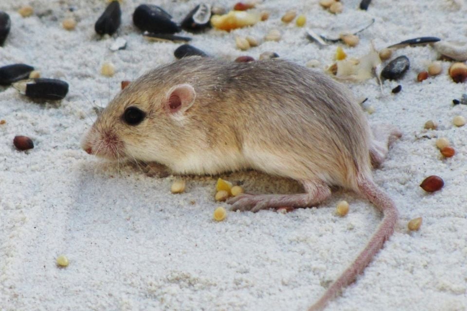
Occurrence data from GBIF.

More mammals in South Dakota in the atlas

Data & sources

The data and visualizations on this page draw on these open sources:

  • GBIFCC-BY 4.0occurrence records behind the range map, elevation, and record counts
  • iNaturalistCC0 / CC-BY / CC-BY-SAobservations, photos, and audio recordings
  • NatureServe ExplorerCC-BYthe state conservation rank
  • IUCN Red Listattributed factthe global conservation status
  • USGS NASpublic domainnative / introduced status
  • Natural Earthpublic domainthe relief basemap
  • USFSpublic domainnational-forest boundaries
  • USGS Protected Areas Databasepublic domainthe named parks, forests, and refuges behind "notable places to look"