
Michigan mammals

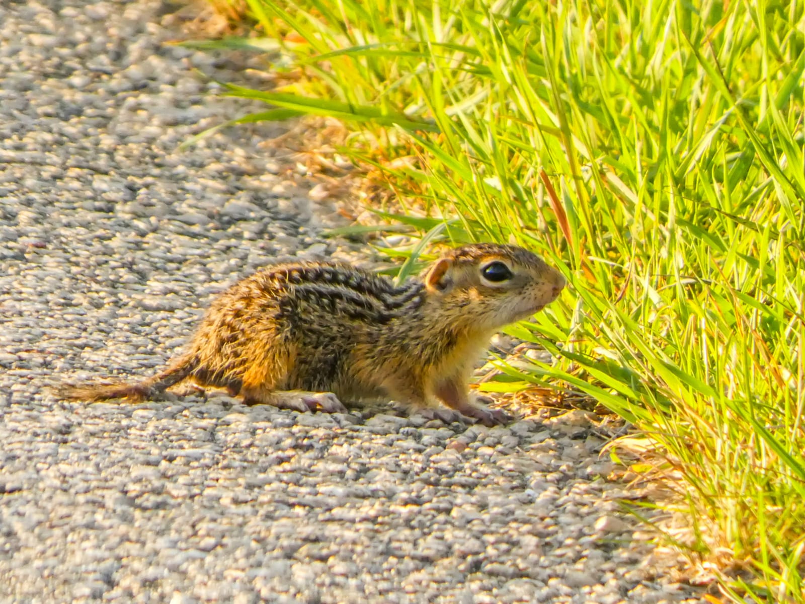
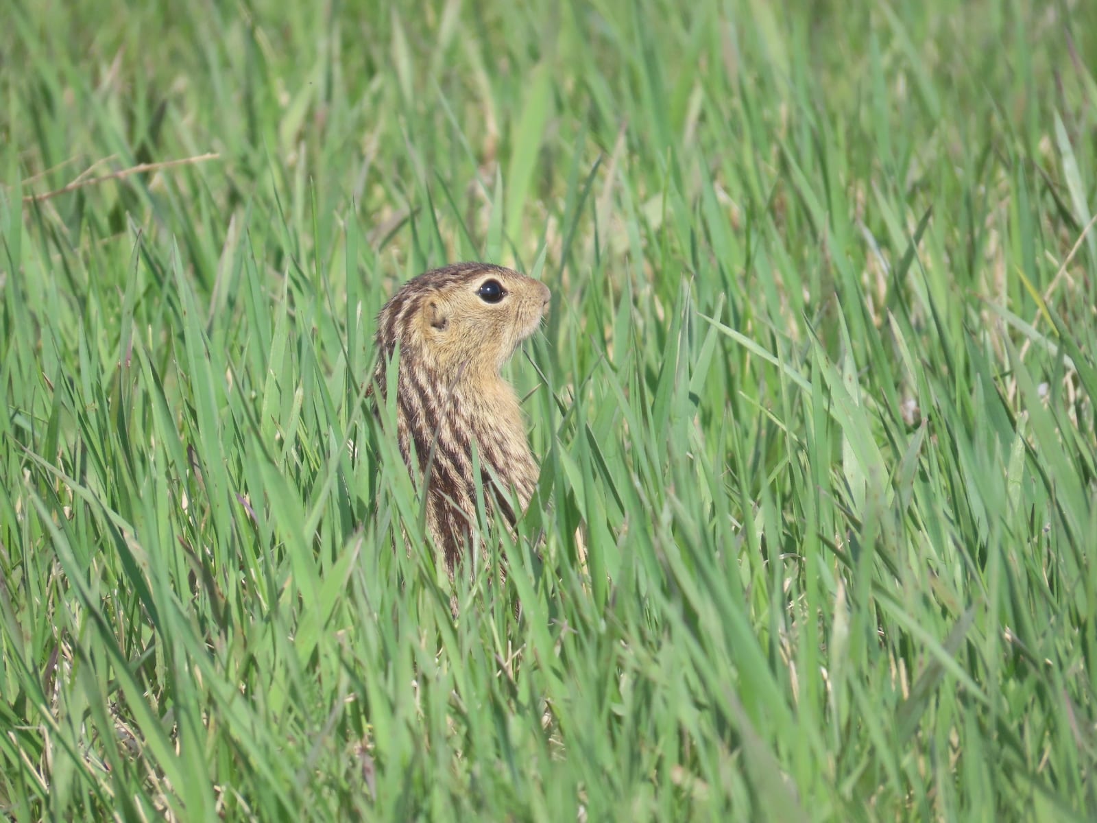
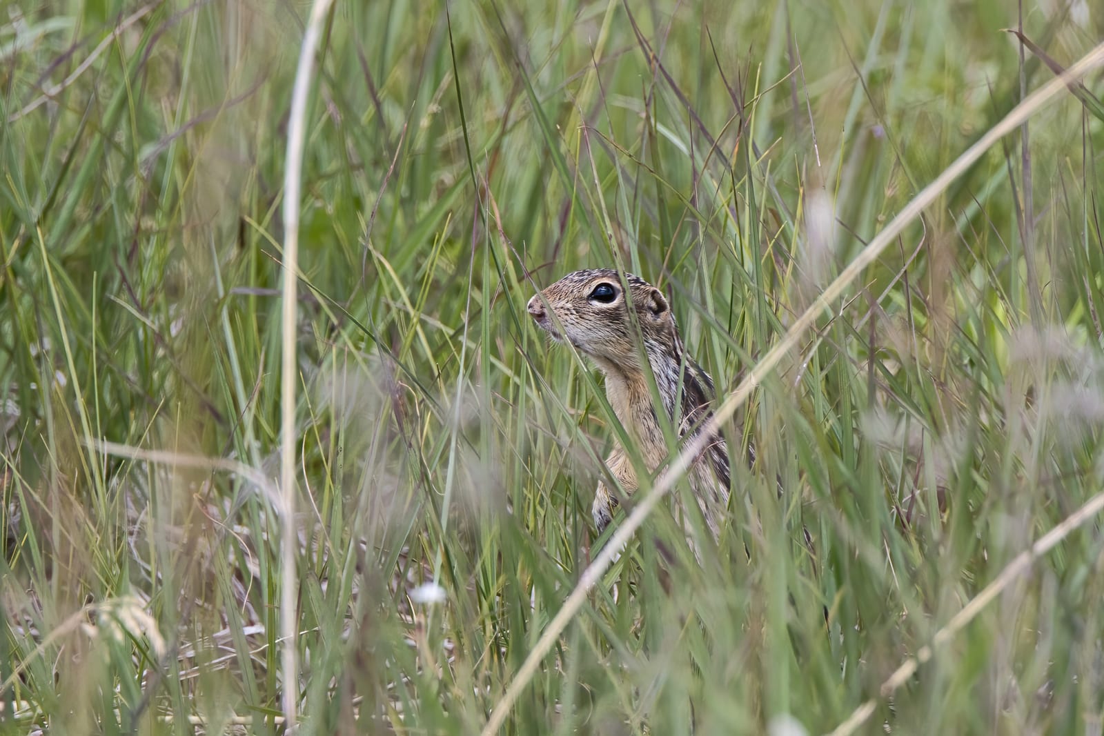
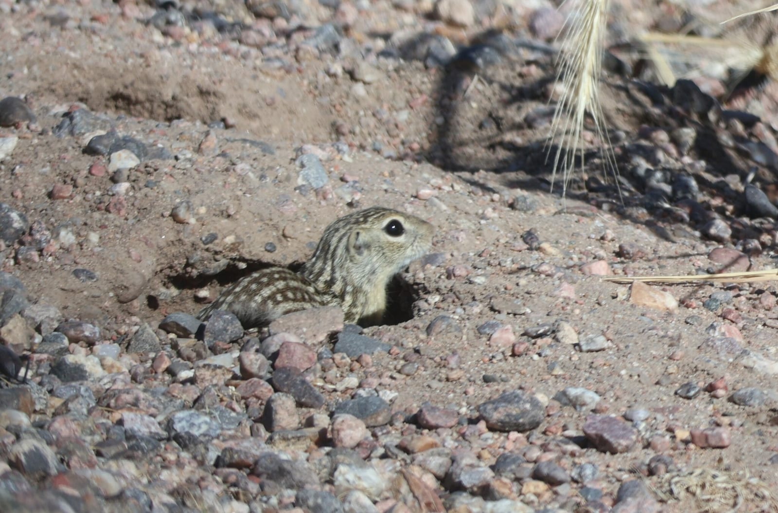
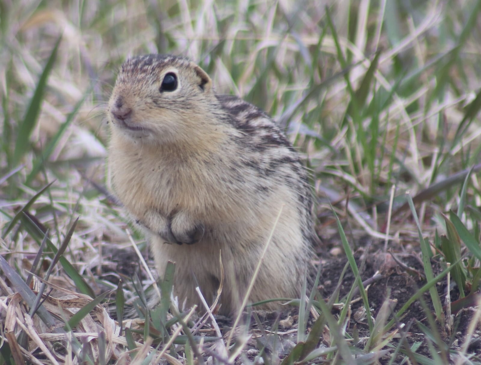
Thirteen-lined ground squirrel in Michigan

Ictidomys tridecemlineatus

Native to Michigan S5 Secure in Michigan

Not listed as nonindigenous in Michigan by USGS NAS; native to its Michigan range.

IUCN Red List status

  1. LC
  2. NT
  3. VU
  4. EN
  5. CR
  6. EW
  7. EX

LC – Least Concern

Widespread and abundant; not at risk.

Thirteen-lined ground squirrel in Michigan, by the numbers

Common in Michigan 21st most recorded of 75 mammals logged in Michigan

833 occurrence records
507 with iNaturalist photos

Records from 2000–2026.

833 total records count every Michigan occurrence from GBIF and iNaturalist; the map plots a georeferenced sample of 300; the monthly chart covers the 824 records with a full observation date.

When to look for the Thirteen-lined ground squirrel in Michigan

Most sightings fall in June to July.

824 Michigan occurrence records (iNaturalist and GBIF) by month of year, 2000–2026. Shows when the species is recorded, not a guarantee of presence.

Monthly Michigan records (table)
MonthRecords
January2
February1
March3
April44
May141
June181
July262
August130
September45
October13
November2
December0

Monthly thirteen-lined ground squirrel occurrence records (iNaturalist and GBIF) in Michigan, 2000–2026.

Seasonality

Year-round in Michigan, with recorded sightings peaking in June–July.

Occurrence map

Where Thirteen-lined ground squirrel has been recorded in Michigan

300 records mapped · zoom and drag to explore

300 Michigan records mapped

Notable places to look

Park, forest, or monumentiNaturalist records
Sleeping Bear Dunes National Lakeshore 53
Kellogg Biological Station and Experimental forest 24
Edwin S. George Biological Station 13
Muskegon County Wastewater System Management Area 10
Van Riper State Park 10
Hartwick Pines State Park 9
Gaylord State Forest Area 9
Fort Custer Recreation Area 8

Protected places with the most thirteen-lined ground squirrel sightings, from the USGS Protected Areas Database plus named mountain ranges, good spots to look, not a full breakdown, so they don't sum to the total.

Where it's recorded in Michigan

CountyRecords
Washtenaw County 93
Marquette County 77
Crawford County 57
Kalamazoo County 55
Emmet County 45
Cheboygan County 42
Leelanau County 39
Livingston County 28
Isabella County 24
Barry County 21
Montmorency County 18
Ingham County 17
56 other counties 317

The complete county distribution, spread across 68 Michigan counties. Every occurrence record falls in one county, so these sum to the total. Counties from GBIF and US Census boundaries.

Michigan records highlight open, closely cropped ground rather than one continuous region: lawns, roadsides, fields, and maintained recreation areas create observation opportunities from the southern refuges to the Upper Peninsula. Shiawassee and Detroit River represent the southern lowlands, while Seney provides a distinctly northern point in the record pattern.

Reports peak from May through August, consistent with above-ground activity during Michigan’s warm season; winter entries should be interpreted cautiously for a hibernating species. In every case these are submitted records, not abundance counts, and frequently visited lawns and trails are much easier to sample than private grassland.
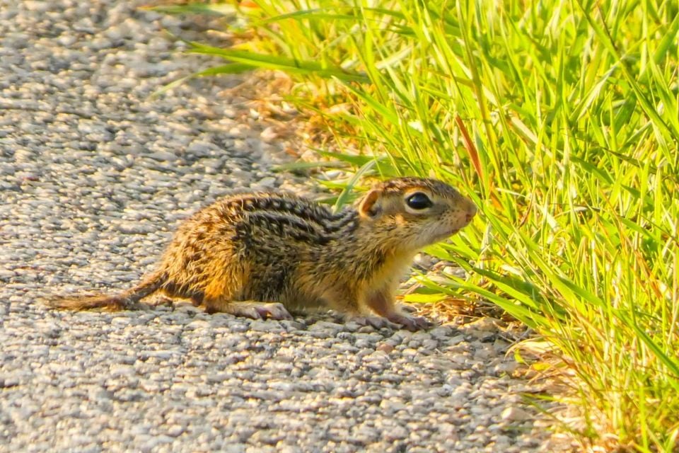

Occurrence data from iNaturalist and GBIF.

More mammals in Michigan in the atlas

Data & sources

The data and visualizations on this page draw on these open sources:

  • GBIFCC-BY 4.0occurrence records behind the range map, elevation, and record counts
  • iNaturalistCC0 / CC-BY / CC-BY-SAobservations, photos, and audio recordings
  • NatureServe ExplorerCC-BYthe state conservation rank
  • IUCN Red Listattributed factthe global conservation status
  • USGS NASpublic domainnative / introduced status
  • Natural Earthpublic domainthe relief basemap
  • USFSpublic domainnational-forest boundaries
  • USGS Protected Areas Databasepublic domainthe named parks, forests, and refuges behind "notable places to look"




