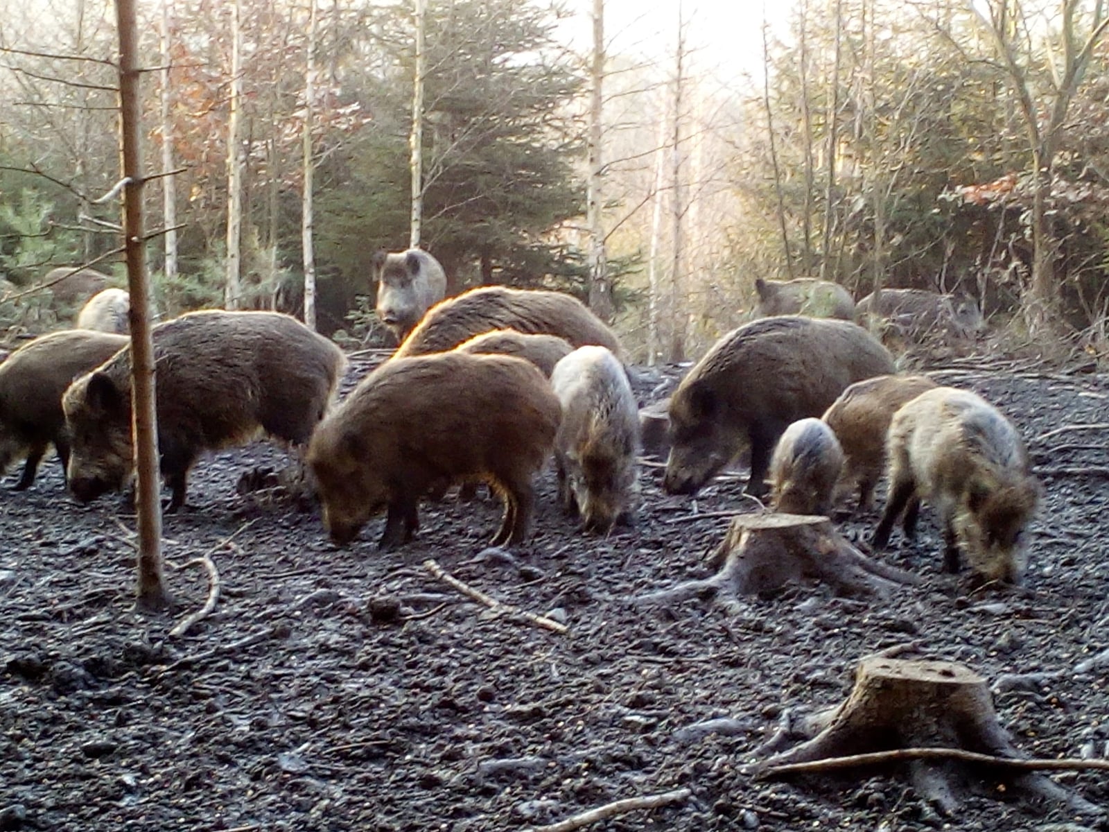
Alabama mammals

Wild Boar in Alabama

Sus scrofa

Introduced to Alabama

Alabama's Sus scrofa records are of an introduced species; it does not occur here as a wild native population.

IUCN Red List status

  1. LC
  2. NT
  3. VU
  4. EN
  5. CR
  6. EW
  7. EX

LC – Least Concern

Widespread and abundant; not at risk.

Wild Boar in Alabama, by the numbers

Common in Alabama 23rd most recorded of 78 mammals logged in Alabama

211 occurrence records
211 with iNaturalist photos
Jun 3, 2026 Last seen in Alabama

Records from 2000–2026.

211 total records count every Alabama occurrence from GBIF and iNaturalist; the map plots a georeferenced sample of 206; the monthly chart covers the 206 records with a full observation date.

When to look for the Wild Boar in Alabama

Most sightings fall in December to March.

206 Alabama occurrence records (iNaturalist and GBIF) by month of year, 2000–2026. Shows when the species is recorded, not a guarantee of presence.

Monthly Alabama records (table)
MonthRecords
January20
February25
March29
April11
May16
June7
July11
August4
September22
October27
November16
December18

Monthly wild boar occurrence records (iNaturalist and GBIF) in Alabama, 2000–2026.

Seasonality

Year-round in Alabama, with recorded sightings peaking in December–March, with a smaller rise in September–October.

Occurrence map

Where Wild Boar has been recorded in Alabama

206 records mapped · zoom and drag to explore

204 Alabama records mapped

Notable places to look

Park, forest, or monumentiNaturalist records
Wehle Nature Preserve 3
Barbour Wildlife Management Area 1
Sipsey Wilderness 1
Little River Canyon National Preserve 1
Lakepoint Resort State Park 1

Protected places with the most wild boar sightings, from the USGS Protected Areas Database plus named mountain ranges, good spots to look, not a full breakdown, so they don't sum to the total.

Where it's recorded in Alabama

CountyRecords
Pike County 24
Sumter County 17
Macon County 13
Barbour County 12
Lowndes County 11
Perry County 11
Mobile County 11
Bullock County 10
Wilcox County 6
Marengo County 6
Baldwin County 6
Clarke County 5
38 other counties 79

The complete county distribution, spread across 50 Alabama counties. Every occurrence record falls in one county, so these sum to the total. Counties from GBIF and US Census boundaries.

Alabama’s wild boar records don’t gather in parks. The busiest named spot, Wehle Nature Preserve, holds just 3, and the real signal sits in farm and timber counties. Pike County leads with 24, followed by Sumter, Macon, Barbour, Lowndes, Perry, and Bullock. Most of those lie in the Black Belt, the band of dark prairie soil that crosses the middle of the state, or in the row-crop country of the southeast. It’s a landscape of fields, river swamps, and hardwood draws, where hogs raid crops and acorns and bed down in thick cover. Mobile and Baldwin counties add records from the delta and bay country on the coast. All told, Alabama’s 211 records reach 50 counties.

Two seasons of reports

The calendar runs in two humps. Reports climb to 29 in March, sink to a low of 4 in August, then rise again to 27 in October. Summer heat pushes hogs toward night feeding and shaded wet ground, and fewer people are out walking the woods in August, so sightings fall off on both counts. Cooler months bring hogs and observers back into the open.

Wild boar are introduced in Alabama. NatureServe treats a conservation rank as not applicable here, because the species isn’t part of the native fauna. By record count, it ranks 23rd of 78 mammals in the state.
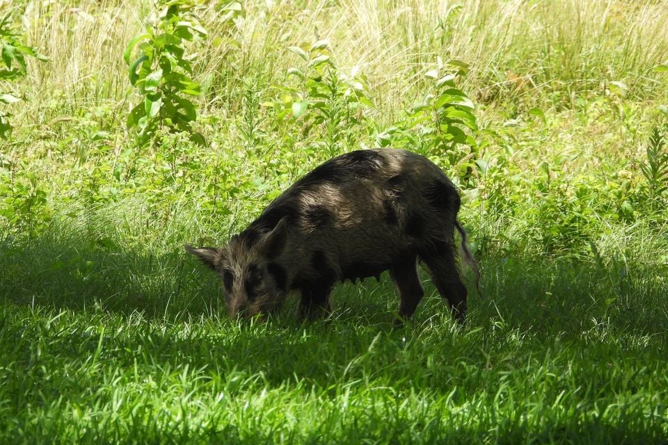
Occurrence data from iNaturalist and GBIF.

Wild Boar in other states

Wild Boar range map (all states)

More mammals in Alabama in the atlas

Data & sources

The data and visualizations on this page draw on these open sources:

  • GBIFCC-BY 4.0occurrence records behind the range map, elevation, and record counts
  • iNaturalistCC0 / CC-BY / CC-BY-SAobservations, photos, and audio recordings
  • NatureServe ExplorerCC-BYthe state conservation rank
  • IUCN Red Listattributed factthe global conservation status
  • USGS NASpublic domainnative / introduced status
  • Natural Earthpublic domainthe relief basemap
  • USFSpublic domainnational-forest boundaries
  • USGS Protected Areas Databasepublic domainthe named parks, forests, and refuges behind "notable places to look"