Arkansas mammals

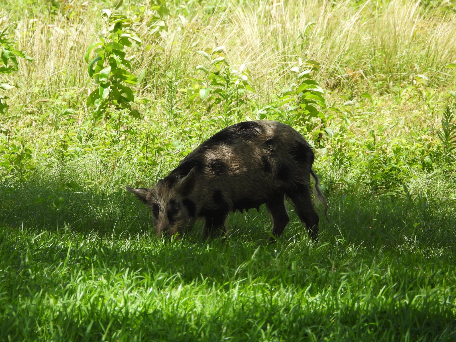
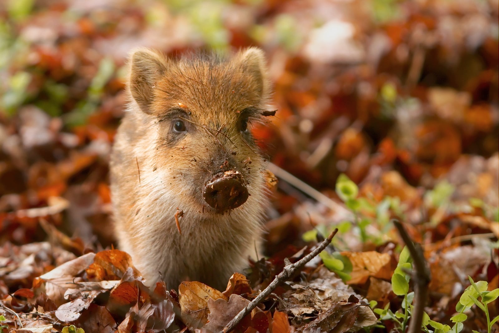
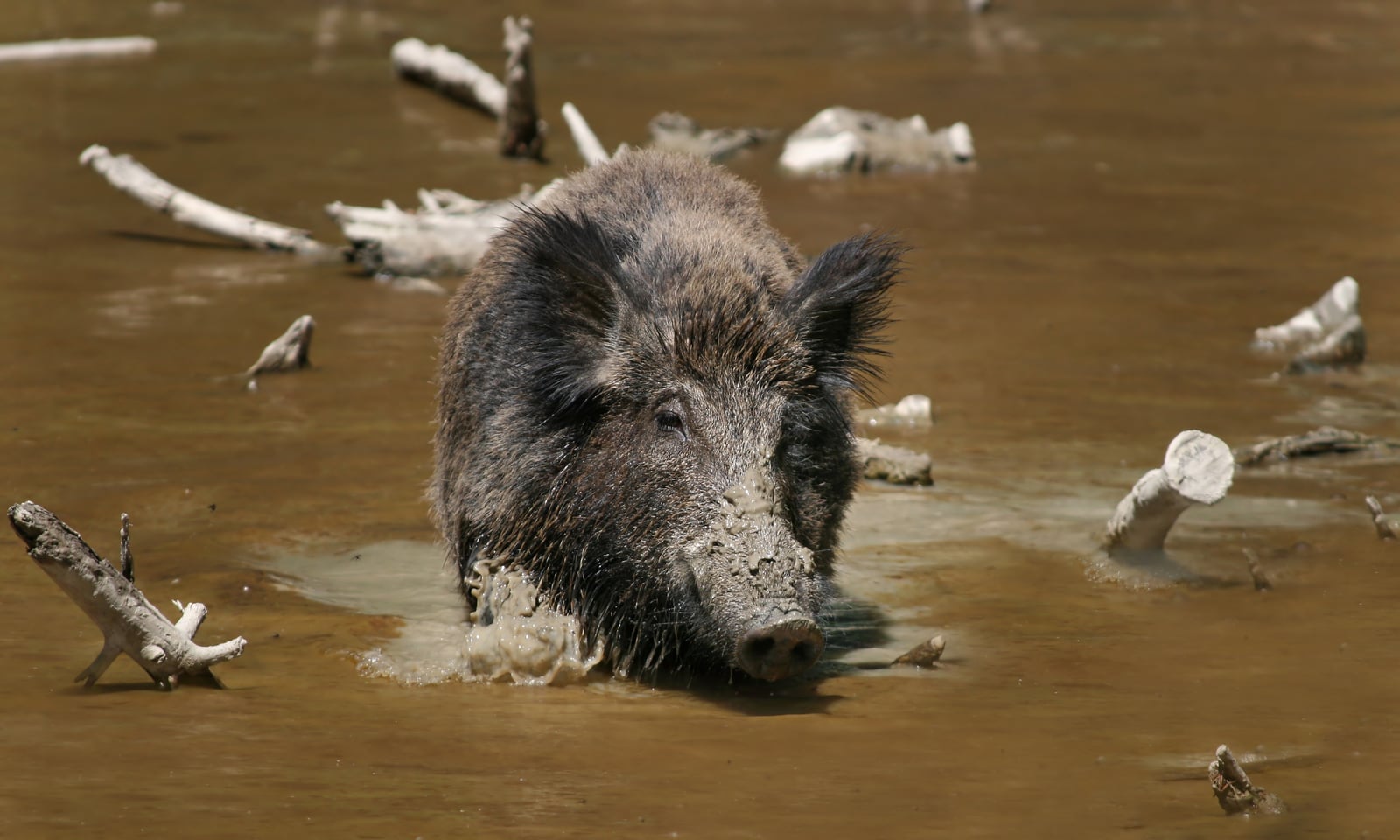
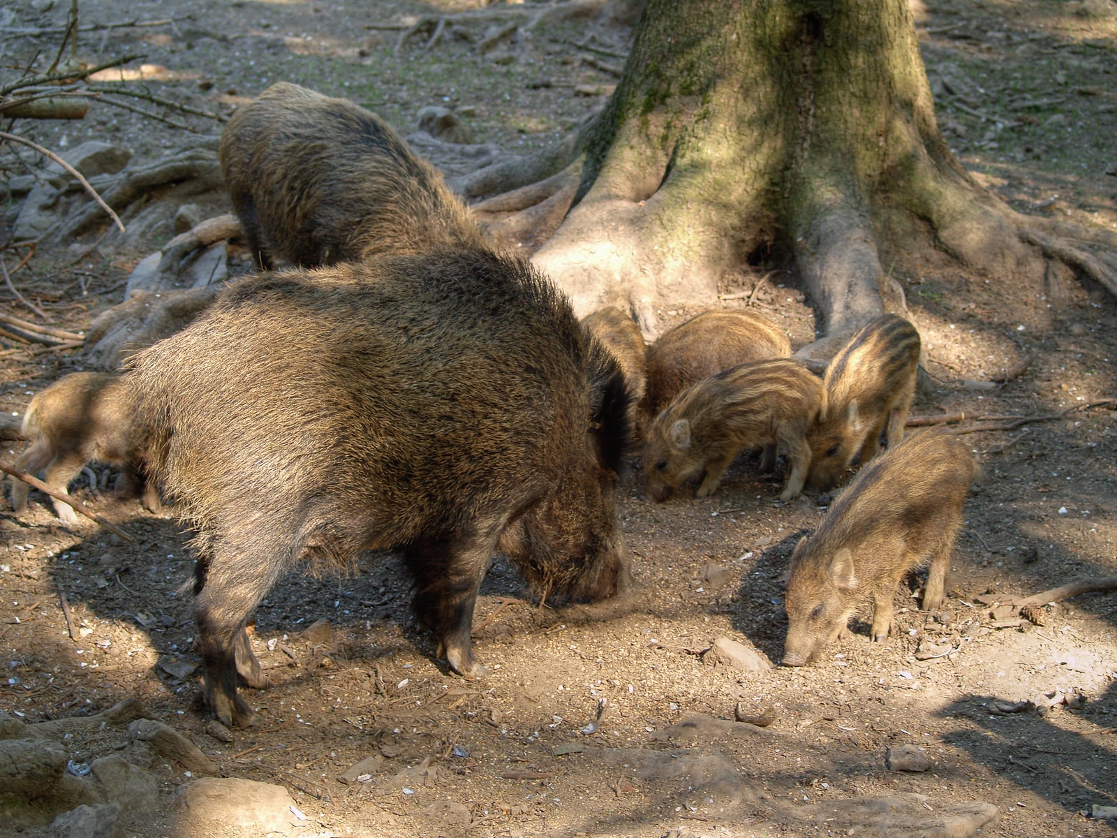
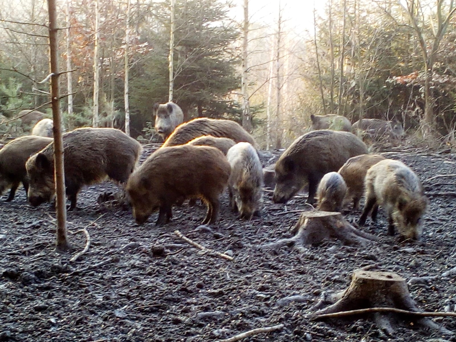
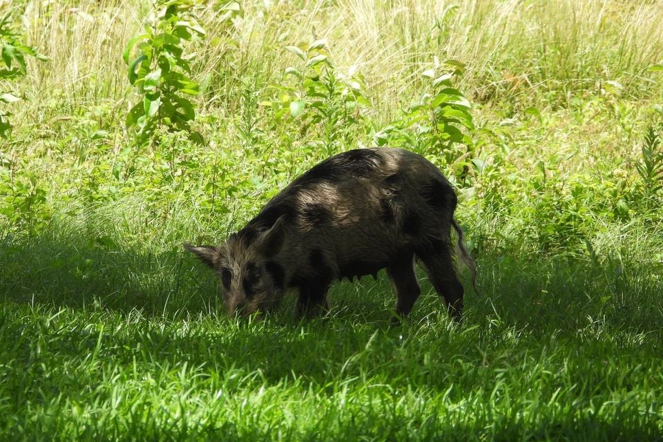
Wild Boar in Arkansas

Sus scrofa

Introduced to Arkansas

Arkansas's Sus scrofa records are of an introduced species; it does not occur here as a wild native population.

IUCN Red List status

  1. LC
  2. NT
  3. VU
  4. EN
  5. CR
  6. EW
  7. EX

LC – Least Concern

Widespread and abundant; not at risk.

Wild Boar in Arkansas, by the numbers

Common in Arkansas 19th most recorded of 78 mammals logged in Arkansas

116 occurrence records
116 with iNaturalist photos
Jul 12, 2026 Last seen in Arkansas

Records from 2000–2026.

116 total records count every Arkansas occurrence from GBIF and iNaturalist; the map plots a georeferenced sample of 111; the monthly chart covers the 111 records with a full observation date.

When to look for the Wild Boar in Arkansas

Most sightings fall in May to July.

111 Arkansas occurrence records (iNaturalist and GBIF) by month of year, 2000–2026. Shows when the species is recorded, not a guarantee of presence.

Monthly Arkansas records (table)
MonthRecords
January10
February9
March12
April8
May14
June10
July10
August8
September8
October11
November4
December7

Monthly wild boar occurrence records (iNaturalist and GBIF) in Arkansas, 2000–2026.

Seasonality

Year-round in Arkansas, with recorded sightings peaking in May–July, with a smaller rise in October and January–March.

Occurrence map

Where Wild Boar has been recorded in Arkansas

111 records mapped · zoom and drag to explore

111 Arkansas records mapped

Notable places to look

Park, forest, or monumentiNaturalist records
Buffalo National River 4
Ozark National Forest 3
Sulphur River 2
Pinnacle Mountain State Park 1
Hobbs State Park / Conservation Management Area 1
Saint Francis Sunken Lands 1
Warren Prairie Natural Area 1
Choctaw Island 1

Protected places with the most wild boar sightings, from the USGS Protected Areas Database plus named mountain ranges, good spots to look, not a full breakdown, so they don't sum to the total.

Where it's recorded in Arkansas

CountyRecords
Johnson County 10
Ashley County 6
Newton County 5
Benton County 5
Union County 5
Madison County 5
Carroll County 5
Pulaski County 5
Washington County 5
Pope County 4
Sevier County 4
Crawford County 4
29 other counties 53

The complete county distribution, spread across 41 Arkansas counties. Every occurrence record falls in one county, so these sum to the total. Counties from GBIF and US Census boundaries.

Arkansas has no single feral hog hotspot. Its 116 records are spread thin across 41 counties, and Johnson County’s 10 is the most any county can claim. Two broad zones stand out. The Ozark counties of the northwest, Johnson, Madison, Carroll, Newton, and Benton, supply a steady share, with a handful of records along Buffalo National River and in Ozark National Forest. Far to the south, Ashley and Union counties carry records from the pine and bottomland timber country of the Gulf Coastal Plain. Pulaski County, home to Little Rock, adds a few more, mostly because more people live there to notice.

Wild boar are introduced in Arkansas and do real damage, tearing up stream banks, pasture, and forest floor wherever a group settles in.

An even calendar

Monthly reports barely move. May tops out at 14, and only November drops below 7. That flat line fits an animal that stays active in every season and can breed through much of the year. It also reflects how few records there are, since a single trail-camera owner or a busy hiking weekend can nudge any month up or down.

Set against the hog’s reputation in Arkansas, 116 records is a light trail. Wary, night-feeding animals on private timberland rarely get photographed and shared, so the state’s records almost certainly undercount where hogs actually roam. They still rank 19th of 78 mammals in Arkansas by record count.
Occurrence data from iNaturalist and GBIF.

Wild Boar in other states

Wild Boar range map (all states)

More mammals in Arkansas in the atlas

Data & sources

The data and visualizations on this page draw on these open sources:

  • GBIFCC-BY 4.0occurrence records behind the range map, elevation, and record counts
  • iNaturalistCC0 / CC-BY / CC-BY-SAobservations, photos, and audio recordings
  • NatureServe ExplorerCC-BYthe state conservation rank
  • IUCN Red Listattributed factthe global conservation status
  • USGS NASpublic domainnative / introduced status
  • Natural Earthpublic domainthe relief basemap
  • USFSpublic domainnational-forest boundaries
  • USGS Protected Areas Databasepublic domainthe named parks, forests, and refuges behind "notable places to look"