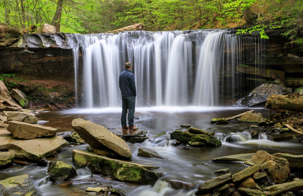
Pennsylvania is the perfect place for waterfalls. The state boasts 86,000 miles (138,403.5 kilometers) of creeks, streams, and rivers. Pennsylvania has more miles of natural waterways than any other state in the contiguous United States. The only state that has more natural waterways than Pennsylvania is Alaska. Let that sink in.
The state is 180 miles (290 kilometers) north to south and 310 miles (500 kilometers) east to west. All in all, Pennsylvania covers 44,817 square miles (116,080 square kilometers), or 28 million acres (11 million hectares).
Long story short, Pennsylvania is a fairly large mass of land. But, can you believe that it’s large enough to hold hundreds of waterfalls?
Keep in mind that Pennsylvania is only the 33rd largest state out of 50 states, so it’s pretty small compared to the rest of the United States.
Not only that, but only 58% of Pennsylvania is made up of forested land. Just over half of the state’s land holds hundreds of waterfalls. Isn’t that incredible?
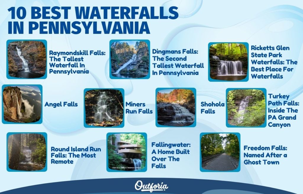
As much as we’d love to explore all these waterfalls, it’s likely impossible for one person. Instead, I’m going to take you on a journey exploring 10 of the most famous waterfalls or waterfall areas in Pennsylvania.
You May Also Like: These Are The Top 20 Must-See Waterfalls In Tennessee Complete with Photos, Infographics, Facts, and more!
1. Raymondskill Falls: The Tallest Waterfall In Pennsylvania
Location: Northeastern PA in Pike County. In the Delaware Water Gap National Recreation Area
Access Tips
To find the Raymondskill Falls, you’ll first want to enter the town of Milford and drive down Route 209. After almost 3 miles (4.8 kilometers), you’ll turn onto Raymondskill Road. From there, you’ll have to drive about 0.5 miles (0.8 kilometers) before you reach the parking area. For an exact location of the parking lot, you can use these coordinates: 41.29016 & -74.84120.
Once you’re parked, you’re going to head down the trail where you’ll find the upper observation area.
If you want to get up close and personal with the falls, you can get quite close to the upper and middle tiers of the waterfall. No one is stopping you. Just be prepared for a steep climb.
There is no obvious trail to the lower tier, but it does exist. The two upper tier’s trails are clearly maintained and well-kept. The trail to the lower trail is not maintained and is obviously hiker-made.
River Environment
The Raymondskill Falls are located on the Raymondskill Creek which eventually flows downstream into the Delaware River. The water from this waterfall will eventually make itself into the drinking water for people living in New York City to Philadelphia.
Physical Description
Height/Width: 178 feet (54 meters) tall
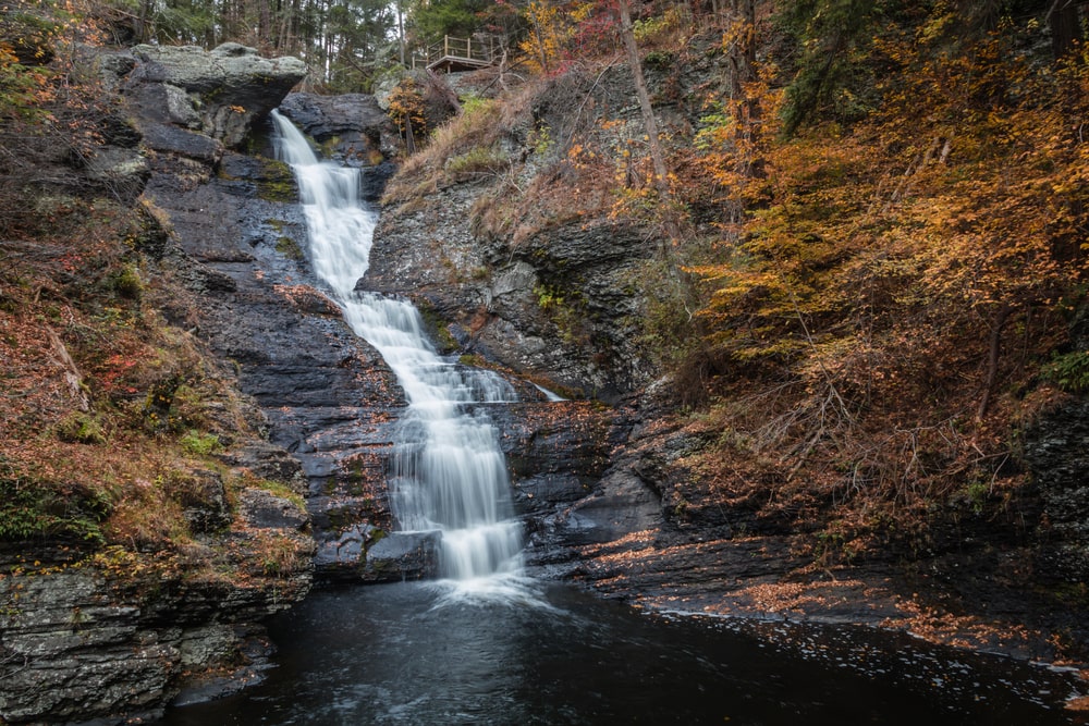
The Raymondskill Falls are the tallest falls in all of Pennsylvania. The falls towers over viewers at an extraordinary height of 178 feet (54 meters).
Technically, the waterfall could be considered three separate waterfalls because it cascades in three tiers. But, altogether, it creates one massive natural wonder.
If it’s been raining a lot, you might even see a smaller waterfall cascading into the creek next to the lowest tier.
Nearby Activities
If you’re up to seeing more waterfalls, you won’t have to look far. Remember the observation area you started out at? There is another trail that goes in another direction, opposite the falls. If you follow this trail, you’ll find seven smaller waterfalls. One of the waterfalls is 25 feet (7.5 meters) tall, so it’s a wonder in and of itself.
If you’re looking for more impressive waterfalls, you’re not too far from Dingmans Falls. Dingmans Falls are only a short drive from Raymondskill Falls, so it’s worth it to see both in one trip.
Likewise, the Silverthread Falls is located at only 0.2 miles (0.32 kilometers) from Dingmans Falls and is a towering 80 feet (24 meters) tall.
You can also take a tour of the Grey Towers National Historic Site. This mansion is one of Pennsylvania’s largest and most beautiful. Self-guided tours are usually offered year-round, but have been temporarily suspended due to the pandemic. Still, you can set up private explorations.
Local History
The Grey Towers National Historic Site is the location of a large mansion. The mansion began construction in 1884 and was finished in 1886. It was owned by Gifford Pinchot who was the founder and first Chief of the US Forest Service.
2. Dingmans Falls: The Second Tallest Waterfall In Pennsylvania
Location: Pocono Region. Pike County in the Delaware Water Gap National Recreation Area
Access Tips
This waterfall is very easy to access. The trail is located off Route 209 which is a highway that goes through the Delaware Water Gap National Recreation Area. The trailhead is going to be just south of the Dingman’s Ferry Access. There will be signs that will lead you about 1 mile down the road to the Dingmans Falls Visitor Center.
From there, you’ll cross a pedestrian boardwalk and walk a short distance to the falls. On your way there, you’ll also pass the Silverthread Falls as well which is just 2-3 minutes from the visitor center.
If you continue 0.2 miles (0.32 kilometers) down the boardwalk, you’ll pass Silverthread Falls and come to Dingmans Falls.
River Environment
Dingmans Falls is a waterfall that makes up part of the Delaware River. The Delaware River basin encompasses 13,500 square miles (34,965 kilometers) and includes the Delaware Bay, Delaware River, and 216 tributaries.
Physical Description
Height/Width: Silverthread Falls: 80 feet (24 meters) tall, Dingmans Falls: 130 feet (39.5 meters)
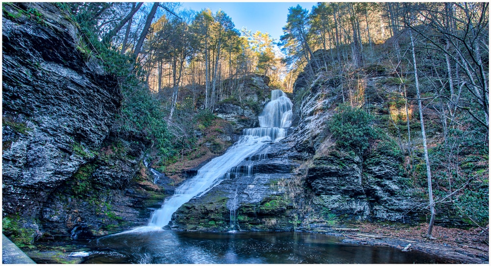
Dingmans Falls is the second tallest waterfall in Pennsylvania, second only to Raymondskill Falls. The force of the water coming over the falls is so powerful that you can feel the spray of the water as you stand on the boardwalk.
At the bottom of the boardwalk, you can stand at the base of the falls. This view allows you to see the falls as a whole, cascading over rocks on its way down.
If you’d like to, there are stairs leading up to the top of the waterfall where you can see the falls as it flows downward.
Nearby Activities
If you’re looking for other waterfalls in the area, check out Raymondskills Falls which is a short drive from Dingmans Falls. Raymondskills Falls is the largest waterfall in all of Pennsylvania, so you shouldn’t miss it when you’re so close.
Besides other waterfalls, the main thing to do around Dingmans Falls is to hike. You can continue to hike after you’ve reached the top of Dingmans Falls. The trail will eventually lead to Childs Park. Just be aware that this is a very long hike; 5 miles one way.
Local History
In 1735, Andrew Dingman landed on the banks of the Delaware River. He settled a piece of land that he called “Dingmans Choice”. He operated a ferry that connected Pennsylvania and New Jersey and played an incredibly important role in America’s westward expansion.
In 1868, the town was officially named “Dingmans Ferry”. Today, we find that “Dingmans Ferry” refers to several towns that rest along the Delaware River for 35 miles.
3. Ricketts Glen State Park Waterfalls: The Best Place For Waterfalls
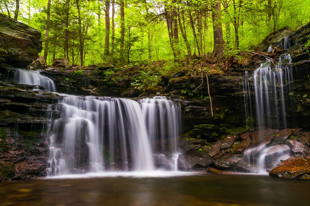
Location: Luzerne County in Ricketts Glen State Park.
Access Tips
There are 22 named waterfalls within Ricketts Glen State Park. Fortunately for us, they’re all within a reasonable distance of one another. You can easily see all 22 waterfalls during your single hike, just be prepared for some serious foot work.
There are multiple ways that you can hike through the park, but if you want to see all the waterfalls the easiest way possible, there is a strategy to it.
There are multiple parking areas within the park, but the best place to park is the Lake Rose Trailhead Parking Area. From the parking area, it’s very easy to find the trailhead as there is a large sign leading the way.
The trail is a long loop trail, but for the best experience, you should travel counter-clockwise. Going counter-clockwise allows you to see the most waterfalls in the shortest amount of time. If you go this way, you’ll begin seeing waterfalls in only about 10 minutes of hiking. If you hike clockwise, you won’t see waterfalls quite as quickly.
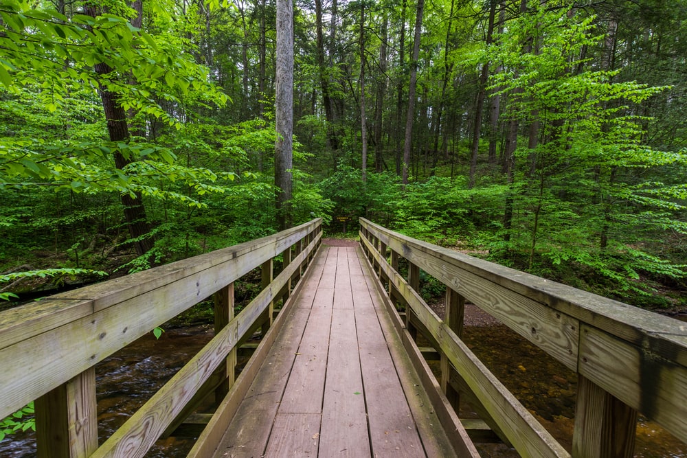
If you start from this trailhead, the total length of the trail will be about 4 miles (6.5 kilometers) long. If you’re up for a longer hike, you can certainly park in one of the other parking` areas. Just bear in mind that this will add about an extra mile to your hike and you won’t see any waterfalls.
Also, if you hike counter-clockwise, you’ll end your hike on flat land. Most people prefer this after a long day of hiking. If you go clockwise, you’ll find yourself trekking up a steep hill at the end of your hike.
After going counter-clockwise, you’ll come to a Y in the trail. Make sure that you take the trail to the right. Following along this trail, you’ll come across a myriad of stunning waterfalls.
Eventually, you’ll come to an area where two creeks meet. This is literally called “Waters Meet”. You’ll see a bridge, but you do not want to cross it. Continue on the path you were on and you’ll come across three more waterfalls.
The first waterfall you’ll see at this point is the Harrison Wright Falls. This is the most popular waterfall in the park.
After the third waterfall, you’re going to turn around and go back to “Waters Meet”. From there, you’ll cross the bridge and follow the trail back up for the second half of your hike. You’ll see a lot more waterfalls on your way back up the trail, making the uphill trip just as rewarding as the downhill trip.
From there, you must hike the last 1.2 miles (1.9 kilometers) where there are no waterfalls. But don’t worry, this last segment is mostly flat, so you can relax on the way back to your car.
River Environment
Most of the waterfalls in Ricketts Glen flow over Kitchen Creek which is a tributary of Huntington Creek. Huntington Creek is a tributary of Fishing Creek which is the northern branch of the Susquehanna River.
Physical Description
There are 22 total waterfalls within Ricketts Glen State Park, but the Harrison Wright Falls is the most popular because of how picturesque it is.
Height/Width: The Harrison Wright Falls are 27 feet (8 meters) tall. Gonoga Falls, the tallest, is 94 feet (28.5 meters). There are 22 waterfalls total, so it’s impossible to give a description of each one. The most impressive waterfall is the Harrison Ford waterfall. Photos don’t do this waterfall justice. The water flows from the top of the falls all the way down in one swift motion from the right side of the falls.
My personal favorite is the Gonoga Falls because of its height. Maybe it’s cliche to say that this waterfall is my favorite simply for the height. But, it never ceases to amaze me how small, but powerful, you feel while standing under this waterfall.
Rather than a straight drop, the water cascades over a multitude of rocks before landing at the bottom. If you’re feeling adventurous enough to get close, you’ll find yourself soaked from the water spray.
The main thing I recommend is to remember that this is a serious hike. Depending on how fast you can go, you’ll likely be hiking for about 4 hours. The trails can be steep and may be dangerous at certain points. The rocks on the trails can be quite slippery from the spray of the waterfalls.
All this is not to scare you, but to caution you. Make sure you take hiking boots, lots of water, and a first aid kit for this long hike.
Nearby Activities
One of the most spectacular activities to do within Ricketts Glen is the winter waterfall ice hike. The trails become so treacherous over winter when they freeze that you are not allowed in without special ice hiking equipment.
If you’ve never been ice hiking before, there is a tour group that you can spend the day with called Valley To Summit. The guides will loan you the equipment, guide you along the trail, and make sure that you’re staying safe while having a lot of fun.
I personally went on this ice hike excursion with my father a couple years ago and it was spectacular. Normally, I hate the cold, winter months, but this trip was worth it.
I’d previously seen Ricketts Glen in the springtime, so it was amazing to see the contrast of the waterfalls as they were covered in ice.
Ricketts Glen State Park is personally one of my favorite locations to go hiking and I would recommend it to anyone who loves waterfalls. The views are something you’ll never forget.
Local History
Ricketts Glen State Park is by far the most popular hiking destination for waterfall seekers. It wasn’t always a hiking destination though. In fact, the area has a long, complicated history.
Robert Bruce Ricketts enlisted as a private in the U.S. Army in 1861 for the Civil War. When the war ended, he left as a colonel. At one point in his life, Rickett owned over 80,000 acres (32,374 hectares) of land in the area of the park.
When he died, 48,000 acres (19,424 hectares) of the land was sold to the Pennsylvania Game Commision between 1920-1924. However, his heirs kept about 12,000 acres (4,856 hectares) around the Ganoga Lake, Lake Jean, and Glens area.
The area was set to become a national park in the 1930s, but this accomplishment was derailed with the start of World War 2. But, in 1942, 1,261 acres (510 hectares) was sold to the Commonwealth of Pennsylvania to be used as a state park.
From there, the park continued to grow into what we know it today. The park first opened for recreational use in 1944.
4. Angel Falls
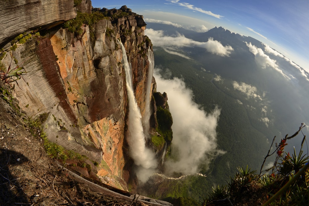
Location: Sullivan County in the Loyalsock State Forest.
Access Tips
To get to the trail, you’re going to go down Route 87 until you get to Ogdonia Road. After about 3 miles (4.8 kilometers), you’ll turn onto Brunnerdale Road. After about 500 yards (457 meters), you’ll reach the parking area.
The waterfall can be found just off the Loyalsock Trail. The trail will proceed for about half a mile. The trail turns right and heads up a hill away from the stream that will be on your left.
At this point, you’re going to vere off the trail, go straight, and follow the unmarked trail. The trail is unmarked, but so many people venture here that you’ll notice an obvious trail through the trees.
After another 0.2 miles (0.32 meters), you’ll come across a sign that says, “no camping beyond this point”. You’ll hike uphill past the sign for about 0.3 miles (0.5 kilometers) until you reach the falls.
You will reach Gipson Falls after about 1 mile (1.6 kilometers) of total hiking. From here, you’ll cross Falls Run BELOW the falls and follow the trail up the left side of the stream. You’ll hike another 0.1 miles (0.16 kilometers) before you reach Angel Falls.
River Environment
Angel Falls and Gipson Falls flows over Ogdonia Creek, a tributary of the Susquehanna River.
Physical Description
Height/Width: 70 feet (21 meters)
Angel Falls is one of the tallest waterfalls in Pennsylvania, and it is the tallest waterfall in the Loyalsock State Forest. If you’re looking to see multiple waterfalls on your hike, don’t worry! Gipson Falls, a spectacular 20 foot (6 meters) tall waterfall is located just below it.
When you come upon Gipson Falls, you’ll notice as the falls spill out over numerous rock formations. These falls are especially pretty in the winter months when the water freezes over with ice.
Angel Falls cascades over rock formations much the same as Gipson Falls. The difference is that Angel Falls is much larger! These falls also create some very beautiful ice formations during the winter months.
Unlike many waterfalls, the waters of Angel Falls flow down quite gently. The only times you’ll see a lot of water raining down over these falls is after a hard rain or just after the thaw of spring.
Nearby Activities
If you’re looking to visit some other waterfalls on your trip, Dry Run Falls is nearby and definitely worth a visit. While you’re there, be sure to visit Dutters Run Falls which is located near the same parking area as Dry Run Falls.
For more great views, try checking out High Knob Overlook which is also in Sullivan County. This area is a scenic vista that allows you to overlook some of the greatest views in Pennsylvania. Fortunately, this overlook is right off the road, so anyone can enjoy it.
Not convinced? High Knob Overlook is 2,047 feet (624 meters) above sea level. It’s high above Loyalsock State Forest allowing you to see the mountains and valleys in all their glory.
Local History
Sullivan County was founded on March 15, 1847. It was named after Senator Charles C. Sullivan who played an active part in passing the bill. Before this Sullivan County was a part of Lycoming County.
The area is most known for its lumbar and leather industries which boomed between 1850-1900. Coal was also mined in the area.
5. Miners Run Falls
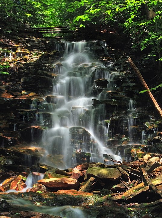
Location: Lycoming County in the McIntyre Wild Area.
Access Tips
There are 6 unnamed waterfalls along this trail that make up the MIners Run Falls. The first falls is fairly easy to get to, located just off the road. The other 5 become increasingly difficult to access.
However, all 6 falls can be seen within 0.6 miles/0.9 kilometers of Rock Run Road.
To get there, you’re going to head down Route 14 in Ralston. You’re then going to turn onto Rock Run Road. Easy enough, right? You’ll head down Rock Run Road for 2.2 miles/3.5 kilometers. After you’ve traveled this far, you’ll come across the parking area on the left side of the road. If you’ve crossed a bridge, you’ve gone too far.
One thing to keep in mind is that Rock Run Road is not maintained in the winter. It is operated by the state forest, so conditions can become hazardous in the wintertime.
After you’ve parked, it’s time to get hiking. There is no official trail to get to the waterfalls, so you have to do a bit of “off trail” hiking. This scares a lot of people, but the waterfalls are all close to the road and aren’t super difficult to get to. If you follow the creek from the parking lot, you’ll find all 6 falls in no time.
River Environment
Miners Run is a tributary of Rock Run Creek which is a tributary of Martins Creek. Martins Creek, in turn, is a tributary of the Delaware River.
Physical Description
Height/Width: Varies
The first falls on this hike is really close to the road. If you’re uncomfortable with off trail hiking, don’t worry, you don’t have to go far to see this one.
The falls at this location are on the smaller side, but that doesn’t make them any less beautiful. There aren’t many places where you can see 6 falls within 0.6 miles/0.9 kilometers of one another. Rather than spending a lot of time admiring one waterfall, you can go for a relaxed hike, enjoying the continued views.
The first fall is only about 10 feet (3 meters) tall, but it is a great area to admire the changing leaves during fall.
The second waterfall is even shorter at 6 feet (2 meters,) but it looks more like a “classic” waterfall with the water cascading elegantly over the rocks.
After you’ve passed the third falls, you’ll be able to see one of the most popular formations of Miners Run Falls: The balanced rock. This rock is very popular because of the way it is held up. A massive boulder supported by a much smaller rock at the base of the stream.
The fourth falls is the largest one along this path. These falls are between 20-25 feet/6-7.5 meters and are very impressive as you stand at the base.
The fifth falls is the smallest in terms of water volume. A somewhat thin stream of what simply flows down the side of a large rock base into the pool below.
The last waterfall is the shortest waterfall at 5 feet/1.5 meters tall. Still, the water cascades over the top of the rock like a “classical” waterfall. As the water flows down the stream, it pours over many small rocks, creating what almost looks like “mini” waterfalls.
Nearby Activities
If you are looking for things to do in Lycoming County, there is no shortage of activities. For more scenery, you can ride the Hiawatha, a paddlewheel riverboat. The boat is one of the most popular activities found in central Pennsylvania and you can choose between private or public cruises.
If you would like to relax and enjoy a show, you can check out the Community Arts Center in Williamsport. They have many professional shows including music, dance, comedy, and theater.
If you’re into sports, you can stop by the World of LIttle League Museum. At this museum, you can see artifacts detailing the Little League heritage.
Local History
Lycoming County was formed on April 13, 1795. It was previously a part of Northumberland County.
6. Round Island Run Falls: The Most Remote
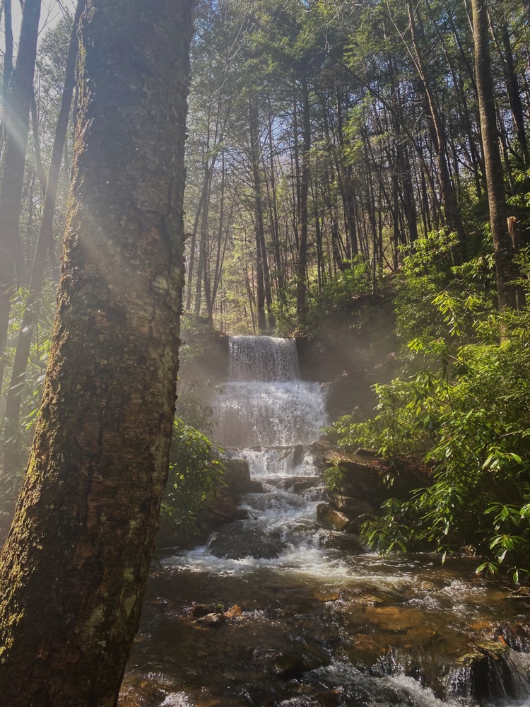
Location: Clinton County in the Sproul State Forest.
Access Tips
Round Island Run Falls is likely the most remote waterfall in all of Pennsylvania. If you want to visit these falls, you should be prepared for some serious hiking.
These falls can be found in the western corner of Clinton County inside the Sproul State Forest. This area is very remote, and the waterfall is located within the western segment.
If you look on a map, the waterfall will be near the Quehanna Wild Area, but isn’t quite inside it.
Because there is no real trail leading to this waterfall, it may be easier to locate it using the coordinates. The exact coordinates of Round Island Run Falls is 41.271800, -78.005947.
I’m going to try to make it a bit easier for you to find, though. To get to the falls, you’re going to first go down Quehanna Highway. From there, you’ll turn onto Pottersdale Road. Depending on which direction you’re coming, the turn will be about 2 miles (3.2 kilometers) south of the Quehanna Boot Camp, or 2 miles (3.2 kilometers) north of Karthus.
From there, you’re going to drive 5.5 miles (8.8 kilometers) on Pottersdale Road. When you come to an intersection, you’re going to turn left onto Keating Mountain Road.
Approximately 3 miles (4.8 kilometers) down the road, you’ll turn left onto Dutchman Road. After another 1.7 miles (2.7 kilometers), you’ll turn right onto Round Island Road. 2 miles (3.2 kilometers) after that, you’ll pass the Liberty Bell Camp and Stone Chimney Camp.
Shortly after passing these camps, you’ll see some power lines that cross above the road. There will be a pull-off area just under these power lines on the left-hand side of the road. This is where you’ll want to park.
Fortunately, getting to the parking area is the hardest spot.
From the parking area, you’ll head to the right where there is a yellow gate. Past this gate is a trail that you will take. You’ll shortly come across a stream which you will want to cross. Continue on the trail.
About 0.4 miles (0.6 kilometers) into the hike, you’ll find yourself at a rocky and steep trail. Don’t follow this trail. Instead, go to the right at the bottom of this hill and follow that trail. It runs next to a stream.
About 0.5 miles (0.8 kilometers) after that, you’ll come to a tree with black rope around it. The rope is leading down the hill. You will follow this man-made path down to the base of the falls.
River Environment
Many creeks run through the Sproul State Forest. These creeks are tributaries that connect to the Susquehanna River at its West Branch.
Physical Description
Height: 20 feet (6 meters)
It’s pretty exciting finding these falls because the water spills over the rocks in tiers. 3 tiers are created, and you can stand behind the falls of the first tier. The three tiers are the reason why many people refer to these falls as three separate waterfalls. However, it is simply one waterfall with multiple beautiful layers.
If you count all three tiers as a single waterfall, then the falls stands at 20 feet (6 meters) tall.
The best part of this hike is going up to the top tier of the waterfall and standing behind it. There is nothing like watching the water cascade down in front of you as you stand 15 feet (4.5 kilometers) up, looking down.
Nearby Activities
If you’re looking for other waterfalls while in the area, check out Table Falls in the Quehanna Wild Area. It is only a short drive from here. Wykoff Run Falls is also close by and is also located in the Quehanna Wild Area. Yost Run Falls is a little farther away in Centre County, but is also part of the Sproul State Forest.
While you’re checking out the Quehanna Wild Area, the abandoned nuclear jet engine bunkers are a must see. These bunkers give us a look into Pennsylvania’s past during the time of the Cold War. The bunkers were used between 1955-1960. You can even go inside and see all the graffiti that has been left behind on the walls from other visitors. For more history on the bunkers, check out this article.
Local History
Clinton County was founded on June 21, 1839, created from parts of Centre and Lycoming counties. The county was named after DeWitt Clinton, the seventh governor of the state of New York.
7. Fallingwater: A Home Built Over The Falls
Location: Fayette County on private residence
Access Tips
If you’d like to just see the waterfall and the house from the outside, you’ll need to purchase a grounds pass. If you’d like to tour the house, you’ll need to book a tour. You can do this on the official website.
To get to Fallingwater, you’ll need to travel 19 miles (30.5 kilometers) south of the Pennsylvania Turnpike Donegal exit. It’s going to be located along Route 381. As you travel down Route 381, you’ll come across a large sign that says, “Fallingwater”. This is how you’ll know you’ve reached your destination.
River Environment
The creeks surrounding Fallingwater are tributaries connecting to the Kiskiminetas River. This river is found in western Pennsylvania and runs about 27 miles (43.5 kilometers) long.
Physical Description
Height: Unknown
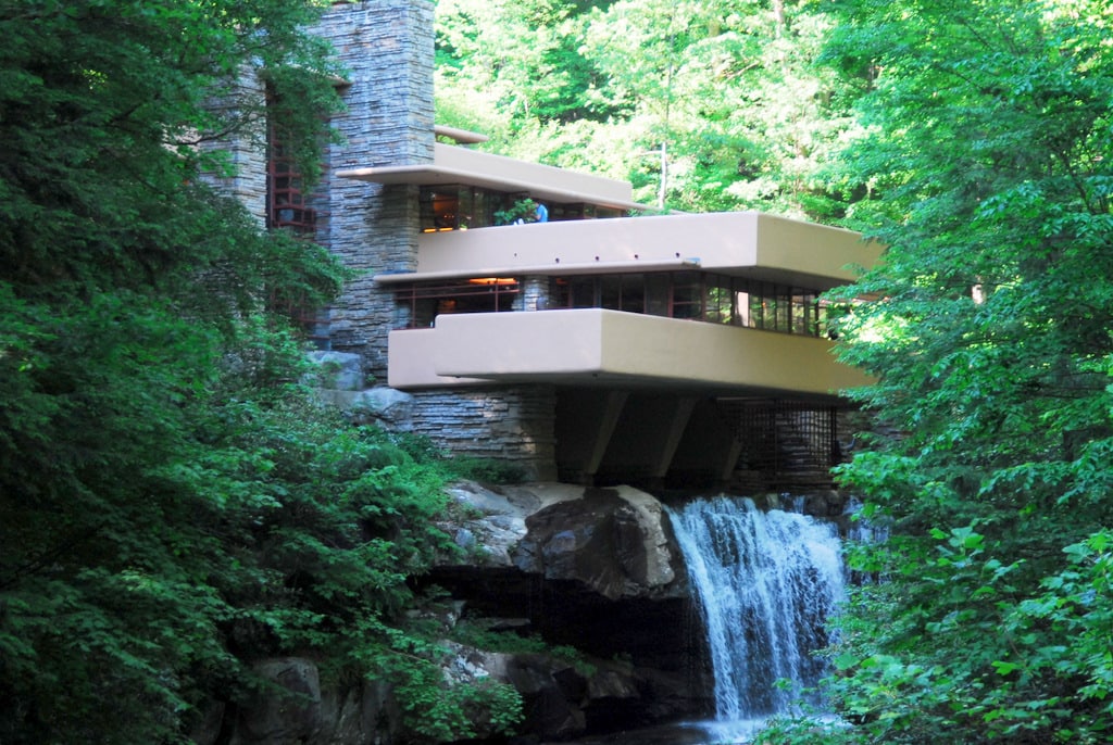
These falls are likely the most famous falls in Pennsylvania because a private residence was built right on top of it.
The entire house and its contents were donated to the Western Pennsylvania Conservancy. Once inside, you’ll be able to experience the house as it was in the 1950-60s.
The house is built on top of the falls so that the waterfall looks like it is literally pouring out of the base of the house. A little ways down from the first falls is a smaller waterfall only a few feet high.
Nearby Activities
While you’re here, you might as well see some other beautiful sights. The Ohiopyle State Park is just slightly north of Fallingwater and it has lots of great hiking trails. If you’re excited for more waterfalls, the Cucumber Falls is located within the state park.
Fallingwater is a great place to have a weekend retreat. If you’d like to stay, there are plenty of cabins, hotels, and campgrounds in the area to make you comfortable.
To see more of Frank Lloyd Wright’s work, check out Kentuck Knob. This building was created in 1954 in Fayette County for Isaac and Bernardine Hagan. If that name sounds familiar, there’s a reason. The couple were the founders of the Hagan Ice Cream Company.
The Hagan house is what Wright called a “Usonian Home”; a home he believed should be made available for the masses.
For another great view, check out the Baughman Rock Overlook that is also in Fayette County.
Local History
The residence of Fallingwater was built by Frank Lloyd Wright, but it’s now owned by the Western Pennsylvania Conservancy. You can even visit the residence for tours.
In 1991, the house over the falls was named “the best all-time work of American Architecture” by the American Institute of Architects.
In 2019, the site was added to the United Nations Educational, Scientific and Cultural Organization (UNESCO) World Heritage List.
Today, about 150,000 people visit the residence every year, and it is considered one of the most popular attractions in the PA Laurel Highlands.
So, how did this home come to be?
Frank Lloyd Wright completed the home in 1939. It was used as a weekend home by Edgar J. Kaufmann Sr. who owned a department store in Pittsburgh.
Wright built the home using sandstone that was quarried right on the property. The total cost of building this home was $155,000, which comes out to about $2.5 million today.
Wright was very passionate about blending structures with the surrounding nature. This is how a house built over a waterfall came to be. Wright once said, “No house should ever be on a hill or anything. It should be of the hill. Belonging to it. Hill and house should live together each the happier for the other.”
Kaufmann and his family owned the house until 1963 when it was donated to the Western Pennsylvania Conservancy. The conservancy was also given the surrounding 1,750 acres/708 hectares of land.
8. Freedom Falls: Named After a Ghost Town
Location: Venango County along Rockland Station Road.
Access Tips
Freedom falls is a very popular destination for the locals, but it can be confusing to find if you’re a tourist.
You’ll find the falls halfway between the town of Kennerdell and the town of Emlenton. Both towns are located in Venango county.
For a place to park your car, you’ll want to find the parking lot on Rockland Station Road. This can be found at coordinates: 41.23703 & -79.74797.
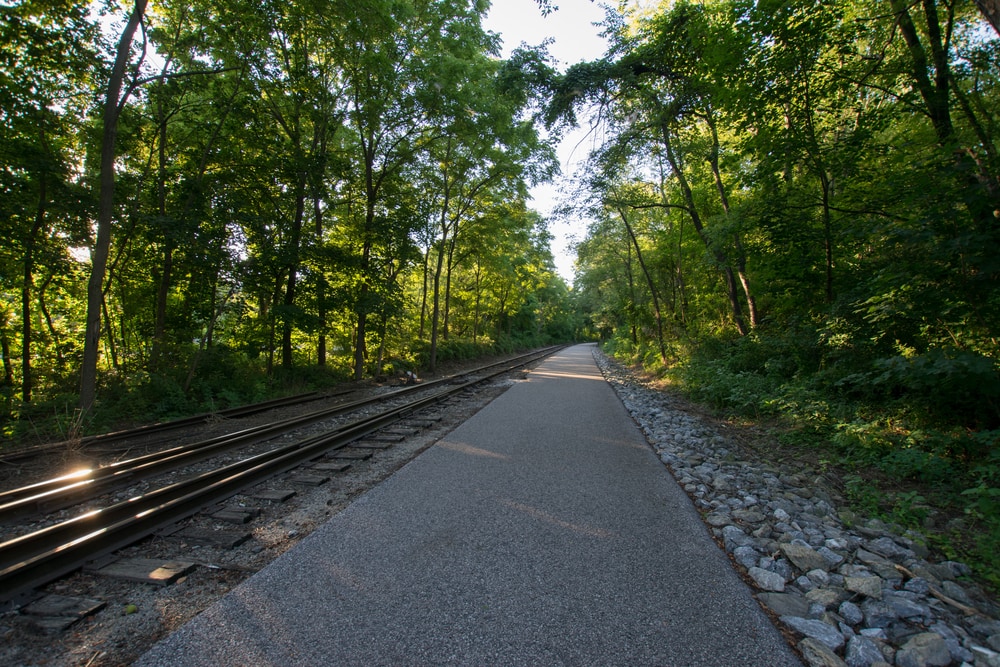
To find the falls, you’ll simply walk along the path downhill until you reach the falls. If you need a bit more guidance than that, you’re going to first find the Rockland Tunnel that’s along the Allegheny River Rail Trail. From there, the falls will be half a mile upstream from the tunnel.
River Environment
The Freedom Falls cuts into the Shall Run Tributary. The tributary is part of the Allegheny River that you can reach 900 yards (822 meters) downstream.
There is dense forest surrounding the falls on all sides.
Physical Description
Height/Width: 20 feet (6 meters) tall & 50 feet (15 meters) wide
When you first begin walking down the trail, you’ll be able to see Freedom Falls from the side.
Sometimes, especially after a hard rain, the water of Shull Run will be quite high. It’s so high that the water coming off Freedom Falls will spray into the air. Take caution about getting too close to the falls if you don’t want to get wet.
Local History
Freedom Falls is found near an old iron forge. It is also found near the old town of Freedom, now considered a ghost town. The town is in ruins now, but the falls are situated so close by that they got their name from the falls.
If you’re curious, you can still see the remains of the old iron forge and the Rockland Tunnel..
Nearby Activities
The furnace was built in 1832 and ran until 1854. The forest around the falls has now grown very dense. But, it’s thought that the trees were likely stripped during the operation of the furnace
The old tunnel is also interesting to explore, and you’ll find it on the Allegheny River Rail Trail. The tunnel was built between 1867-1916 to help transport black gold.
While you’re here, you can also check out Logan Falls in Forest County. These falls are located in the Allegheny National Forest.
You can also see Rapp Run Falls in Clarion County. These falls are located within the State Game Lands 72.
9. Shohola Falls
Location: Pike County, PA on the State Game Lands 180.
Access Tips
Shohola Falls can be found just off of Route 6 in Pike County. The Falls themselves are located on top of Shohola Creek. The creek is located downstream from the Shohola Lake. The lake spans 909 acres and is found within the game lands.
This waterfall can be found after just a 5 minute walk from the Game Lands parking lot.
To get here, you’ll first travel west on Route 6. If you’re coming from Milford, PA, you’ll need to drive about 10.5 miles (17 kilometers). Then, you will turn left onto Brooks Road for about 0.2 miles (0.32 kilometers).
At the intersection, you’ll turn right and follow it to the game lands parking lot which is just a short drive away. From there, the footpath is easy to find, and you’ll follow it to the falls. The falls is only located about 150 yards (0.14 kilometers) from the parking lot.
River Environment
Shohola Falls is a waterfall that makes up part of the Delaware River. The Delaware River basin encompasses 13,500 square miles and includes the Delaware Bay, Delaware River, and 216 tributaries.
Panther Creek, Shohola Creek with Taylortown Creek, Twin Lakes Creek with Walker Lake Creek, and Pond Eddy Creek all flow into the Delaware River. These creeks are all part of the township surrounding Shohola Falls.
Physical Description
Height: 50 feet (15 meters)
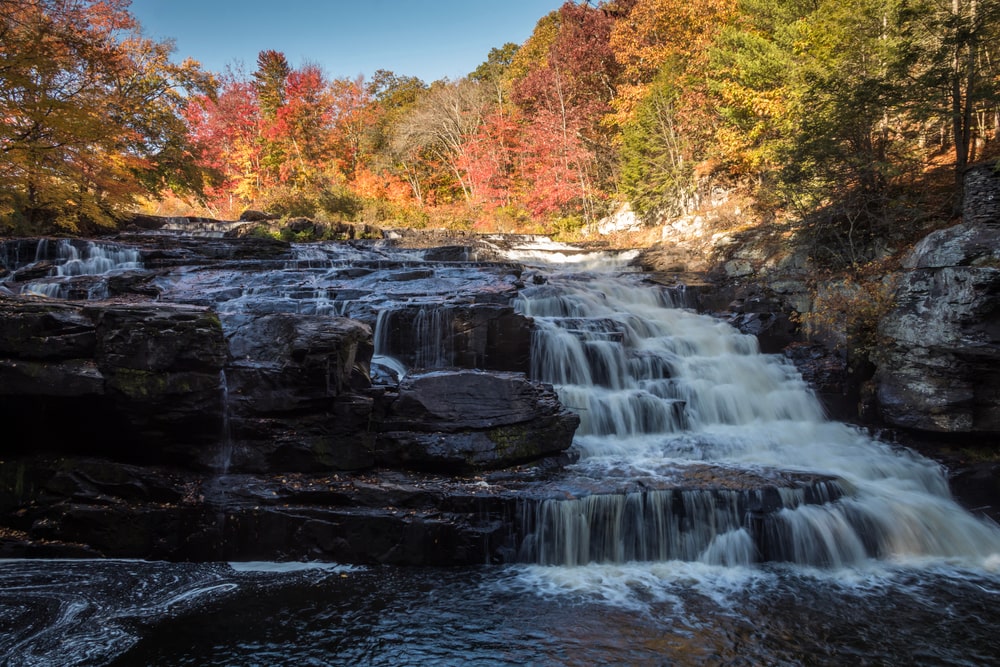
Shohola Falls is a large waterfall that spans the width of the creek. It is wider than it is tall, but I think this aids in its beauty. The water cascades over numerous rocks, almost creating the illusion of dozens of tiny waterfalls within one.
Nearby Activities
Because the falls are located within state game lands, hunting is an obvious activity. Depending on the season, you can hunt for deer, turkey, or other game.
The game lands are also home to lots of hiking trails. The area spans 11,000 acres, so the possibilities are endless. If you would like to hunt these trails, check out this map.
Also, if you are interested in hiking these trails, just be mindful of hunters. If you’re hiking during hunting season, be careful and wear orange. Also, do not intentionally stray into areas currently occupied by hunters as it will disturb their hunt.
However, you’re not likely to see many hunters because the site is more often used for fishing. If you like to fish, you’ll find that just above and below the falls are popular areas for fishing.
If you’re looking for other waterfalls, Raymondskills Falls is just a short drive away. If you’ve read all of this article, then you’ll know by now that Raymondskill Falls is the largest waterfall in Pennsylvania. It’s not to be missed when in the area.
Dingmans Falls, Pennsylvania’s second largest waterfall is also located very close by.
Local History
Shohola is a Native American word for “Place of Peace”. The word is also used for the name of the nearby township, village, and creek. The township was created in 1851 and is located along the Delaware River.
Shohola is home to one of the worst railroad accidents in railroad history.
On July 15, 1864, a head-on collision occurred between a train carrying Confederate prisoners of war, and a coal train. The prison train was delayed for 4 hours, resulting in the collision when the railroad telegraph operator mistakenly assumed that the train had already passed.
When all was said and done, the engineers and firemen of each train, a brakeman, 51 Confederate soldiers, and 17 union guards lost their lives.
10. Turkey Path Falls: Inside The PA Grand Canyon
Location: Tioga County inside Leonard Harrison State Park.
Access Tips
To reach the falls, you’re going to start at the Visitors Center where the trail begins. The Visitors Center and the waterfalls are located within Leonard Harrison State Park.
You’re going to go down a trail for 750 feet (228.5 meters). The top of the trail starts at the vistas and will lead you down to Pine Creek at the bottom. On your way to the bottom, you’ll pass several waterfalls.
Keep in mind that the trail is quite steep, but it’s manageable for most, including children.
River Environment
The falls of Turkey Path are found on Pine Creek, a tributary of the Susquehanna River. The creek is about 87 miles (140 kilometers) long while the river is about 444 miles (714.5 kilometers) long. It is one of the largest river systems in the eastern United States that spans a total of 27,570 square miles (44,369.5 square kilometers).
The gorge of the PA Grand Canyon runs for about 47 miles (75.5 meters) and is a maximum of 1,450 feet (442 meters) at its depth.
Physical Description
Height: Varies
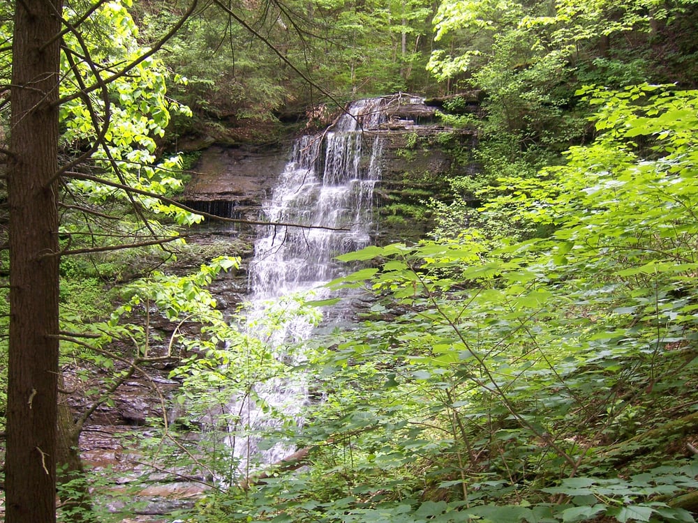
The Turkey Path is not the name of a waterfall. Rather it’s the name of a hiking path that leads past four unnamed waterfalls. The path is very popular because all the waterfalls can be seen along the path which is only one mile long.
The path begins at the rim of the PA Grand Canyon and ends at the bottom of Pine Creek. Once you reach the bottom of the PA Grand Canyon, you have a wonderful view of several of the waterfalls.
Along the trail, you’ll see some of the best views you can imagine. The trail begins at the top of the PA Grand Canyon, so as you can imagine, the views are spectacular. You can easily see inside the canyon where the river lies, with trees surrounding it on both sides. It is a particularly beautiful site in fall when the leaves are changing color.
You’ll see four waterfalls on your way down the path. Each waterfall can be seen directly from the trail, but you can get closer if you like. There are small trails that shoot off the main path that allow you to get closer to each of the falls.
When you reach the bottom of the path, you’ll find yourself on the Pine Creek Rail Trail. From there, you can walk down the banks of Pine Creek and take in your last view before heading back up the steep trail.
Nearby Activities
As I said, the Pine Creek Rail Trail is connected to the trail and can be found nearby once you ascend the trail again. If you love to bike, the rail trail is the perfect place to do it. The rail trail spans for miles and is almost completely flat. It’s great for easy cycling or for a leisurely walk.
Of course, the best thing to do while in the PA Grand Canyon is to hike. There are miles of hiking trails that are sure to satisfy anyone. There is the Colton Point lookout that can be found on the western rim of the canyon. There is also the Leonard Harrison State Park on the eastern rim of the canyon.
If you’d like an easier way to see the views, you can take a train ride on the local Tioga Central Railroad. You can even take a wagon ride through the canyon.
Some other activities included near here are white water rafting, wine tasting, and museums.
Local History
The Pennsylvania Grand Canyon is what it’s called by locals. However, the real name of this natural wonder is Pine Creek Gorge and it can be found within Tioga State Forest.
The gorge runs for 47 miles (75.5 kilometers) through the Allegheny Plateau. At its deepest spot, the gorge is 1,450 feet (442 meters). At its widest point, it is 4,000 feet (1,219 meters) between both rims.
Before Pennsylvania was colonized, about 90% of the land was covered in trees. This is where the second half of the name “Pennsylvania” comes from. “Sylvania” means “forest land” in Latin. The “Penn” in Pennsylvania simply comes from William Penn, the founder of the state.
When the industrial revolution took over, the grand canyon was stripped bare. Its wood was used to make ships.
Today, the lumber era is over and the gorge has regrown. When you visit, you can even find trees that are over 100 years old.


