Outforia Quicktake: Key Takeaways
- Tornadoes are intense weather phenomena that occur when warm, moist air collides with cold, dry air. This interaction leads to the formation of an updraft, which can start to spiral if the wind is moving in various directions, causing a tornado.
- Most tornadoes occur in the US, with Texas experiencing the highest frequency. Known as “twisters,” they can be devastating, causing substantial damage within a mile radius.
- There is a distinct tornado season, typically starting in early spring along the Gulf of Mexico, influenced by the movement of jet streams. Tornado season typically sees the most activity in April and May.
- The influence of climate change on tornadoes is complex and not entirely understood yet. While climate change creates more warm, moist air, it is also anticipated to decrease wind shear, both critical factors in tornado formation.
- Tornadoes come in several types, including single-vortex tornadoes, waterspout tornadoes, fire tornadoes, dust devils, multi-vortex tornadoes, supercell storm tornadoes, QLCS tornadoes, and landspout tornadoes.
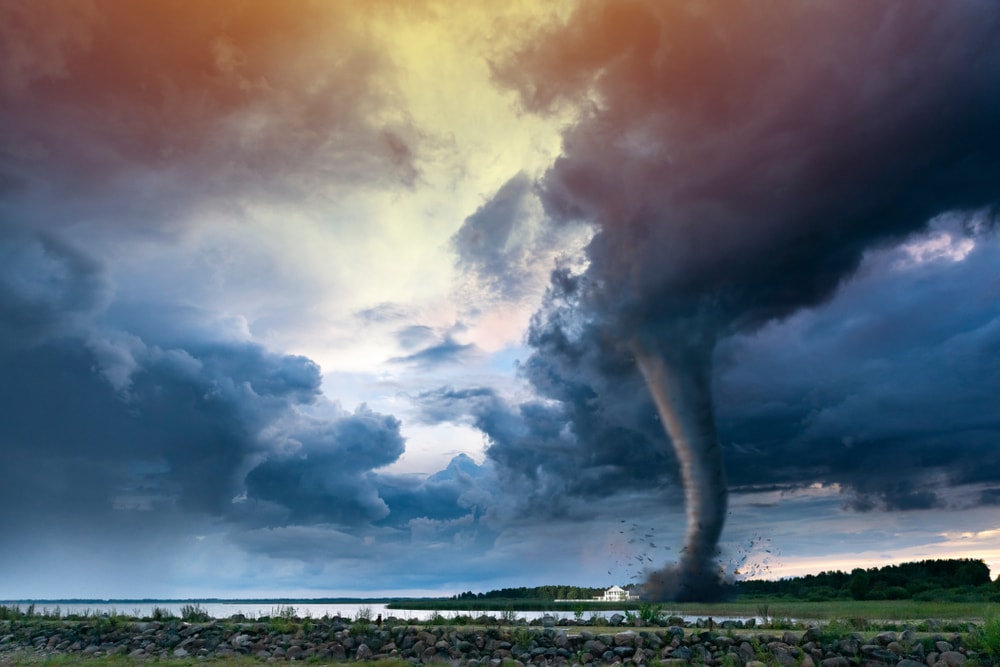
Tornadoes are powerful and destructive weather events that captivate our attention. But have you ever wondered what causes tornadoes?
We’ll explore the science behind tornadoes, from how they form to the factors that make them so dangerous.
The Cyclonic Symphony: How Do Tornadoes Take Shape and Form?
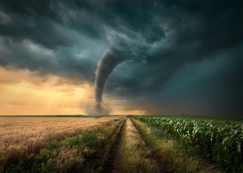
Tornadoes form when a fast-moving column of warm and cold air mixes. This happens when the currents of air extend downward from a thunderstorm to the ground.
Warm, damp air collides with cold, dry air. The denser, colder air is forced upwards over the top in a thunderstorm. After this, the warm air begins to rise up through the cold air, causing an updraft.
If the winds are going in different directions or speeds, the air begins to spiral. This is called wind shear. When wind shear and the mixture of warm and cold air meet, you are likely to get a tornado.
You May Also Like: What Are The Chances Of Getting Struck By Lightning?
What Is a Tornado?
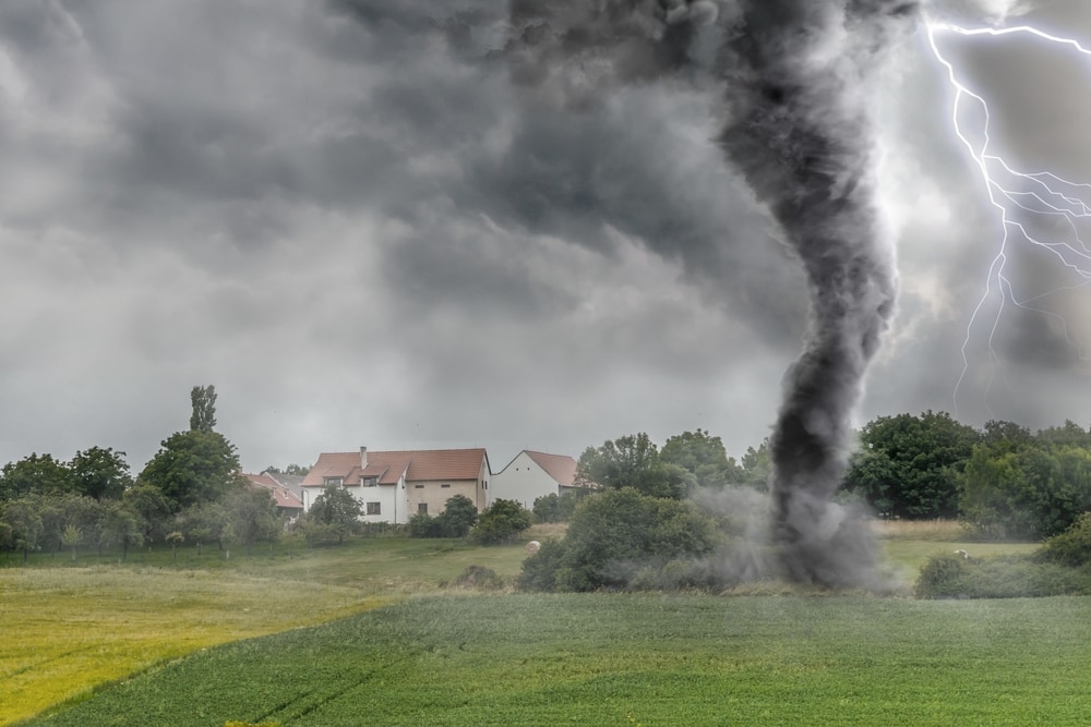
A tornado is a rapidly and violently rotating column of air. It comes from the bottom of a thundercloud and reaches the ground. In the US, tornadoes are known as “twisters”. Hence the US movie with the same name.
It’s composed of rotating warm, moist air and cold, dry air. Combined, they create a spiraling current that creates a funnel—the classic shape of a tornado.
Tornadoes can be very destructive. They can knock down and tear up everything within a mile of them. There are different strengths of tornadoes and a fair few types of tornadoes.
Mapping the Fury: Where in the World do Tornadoes Strike the Most?
Gulf of Mexico
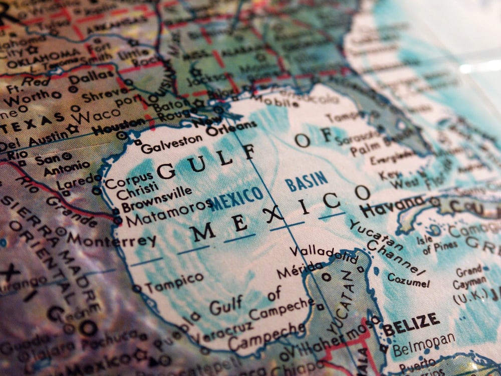
Most tornadoes occur in the US. US state Texas, however, holds the record for the most tornadoes by far. Texas has an average of 120 tornadoes a year.
All along the Gulf of Mexico is a tornado-risk zone. This is due to the jet streams that flow above this area. Learn more about jet streams in the “tornado season” section below.
Tornado Alley, US
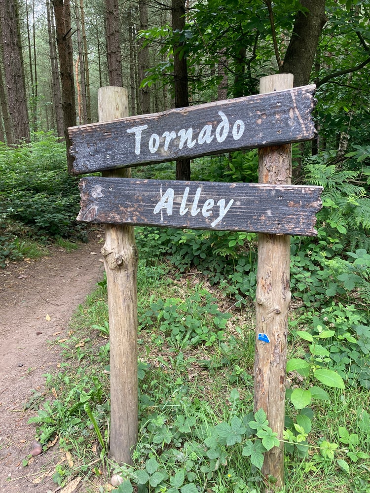
The most common area for tornadoes is called Tornado Alley in the US. It includes parts of Texas, Nebraska, Oklahoma, and Kansas. This corridor of land extends from western Texas through western and Central Oklahoma and across Nebraska.
Tornado Alley is an area of the Great Plains. It has exactly the right atmospheric conditions to encourage the formation of tornadoes—and lots of them.
Other Parts of the World
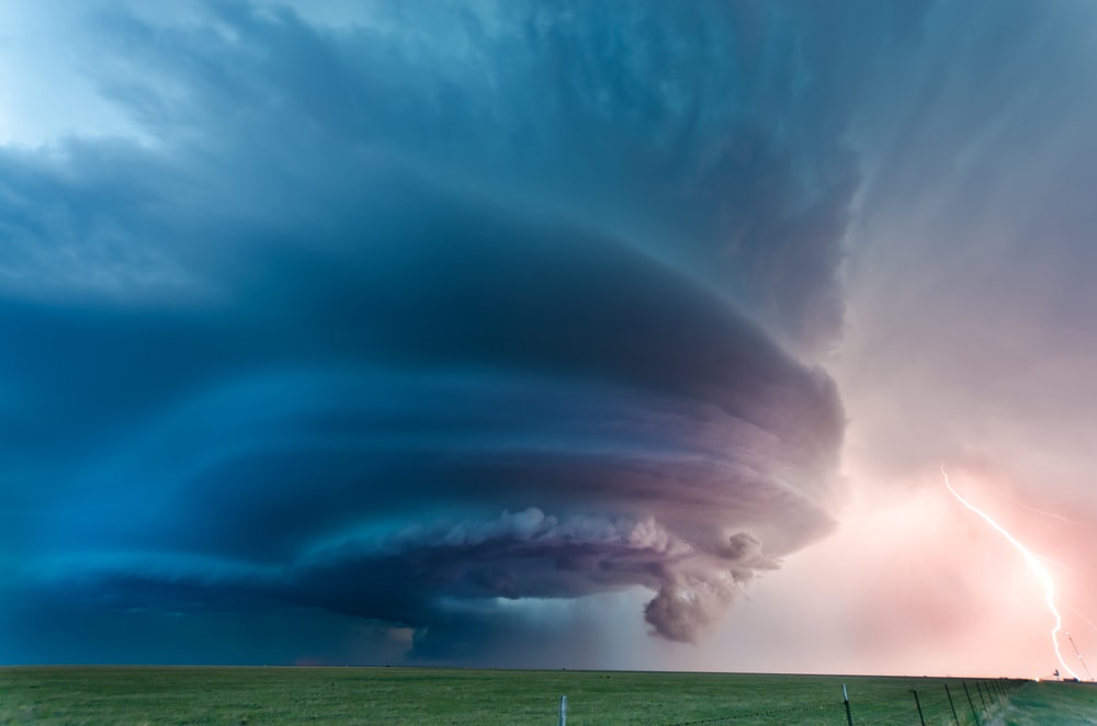
New Zealand has an average of 20 tornadoes a year. Bangladesh and Argentina are the next biggest hotspots after the US. You can witness tornadoes in Argentina, Great Britain, and India too.
Great Britain has had tornadoes in the past but is not a hotspot.
You May Also Like: Nature’s Fury Unleashed: Exploring The Key Differences Between Cyclones, Typhoons, And Hurricanes
Season of the Storm: Understanding the U.S. Tornado Season
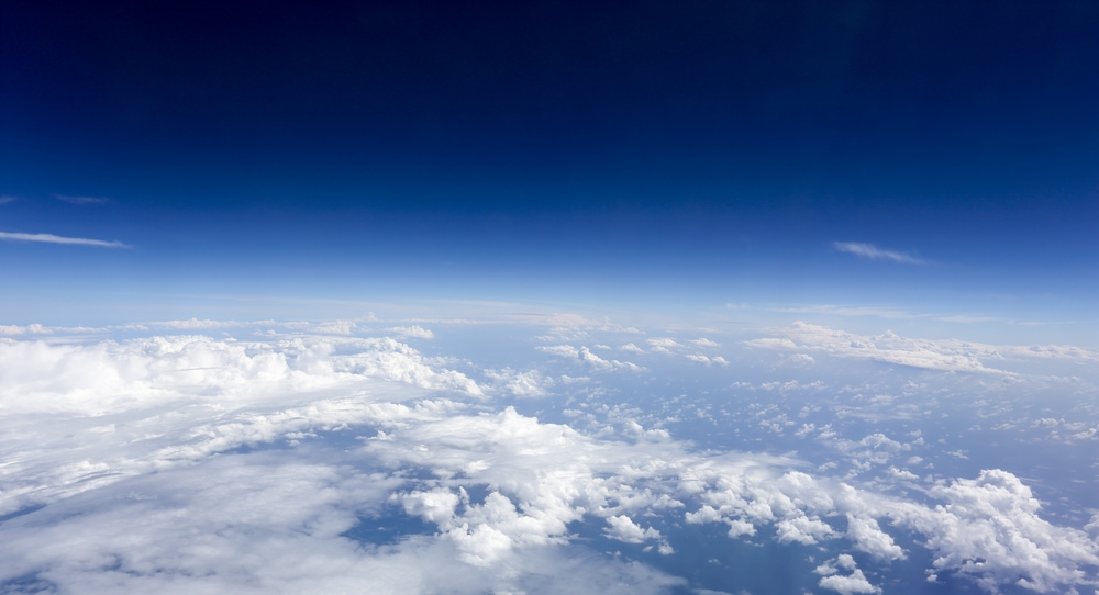
There is a distinct tornado season in the US, where they are most common. Along the Gulf of Mexico, the tornado season starts in early Spring.
April and May are the months when you will witness the most tornadoes. April has the most violent twisters, while May has the most.
So what caused this tornado season?
The Role of Jet Streams in Tornado Creation

This happens because of the movement of the jet stream. Jet streams are high-speed, fast-moving currents of air.
The jet streams travel high up in the tropopause, which is 8–15 km (5–9 mph) high up in the atmosphere. This is between the troposphere and the stratosphere.
Two of the most important jet streams are the polar front jet stream and the subtropical jet stream.
Jet streams can travel at an average wind speed of 80–140 mph (129–225 kph). They can reach speeds of 275 mph (443 kph).
How Jet Streams Change The Weather
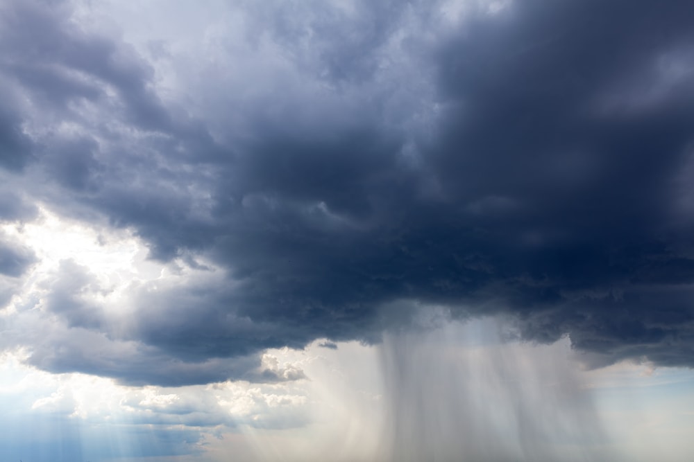
Jet streams can influence the weather because of their constantly changing patterns of speed and shape. They change areas frequently. When this happens, they are able to move large masses of air around.
The air North of the jet stream is colder. The area to the south is warmer. The pull and push of the jet stream is very powerful. Powerful enough to pull Hurricane Sandy into landing in New Jersey in 2012.
Further North, the tornadoes are more common later in the season, in the summer.
In the Eye of the Storm: How Long Do Tornadoes Last?
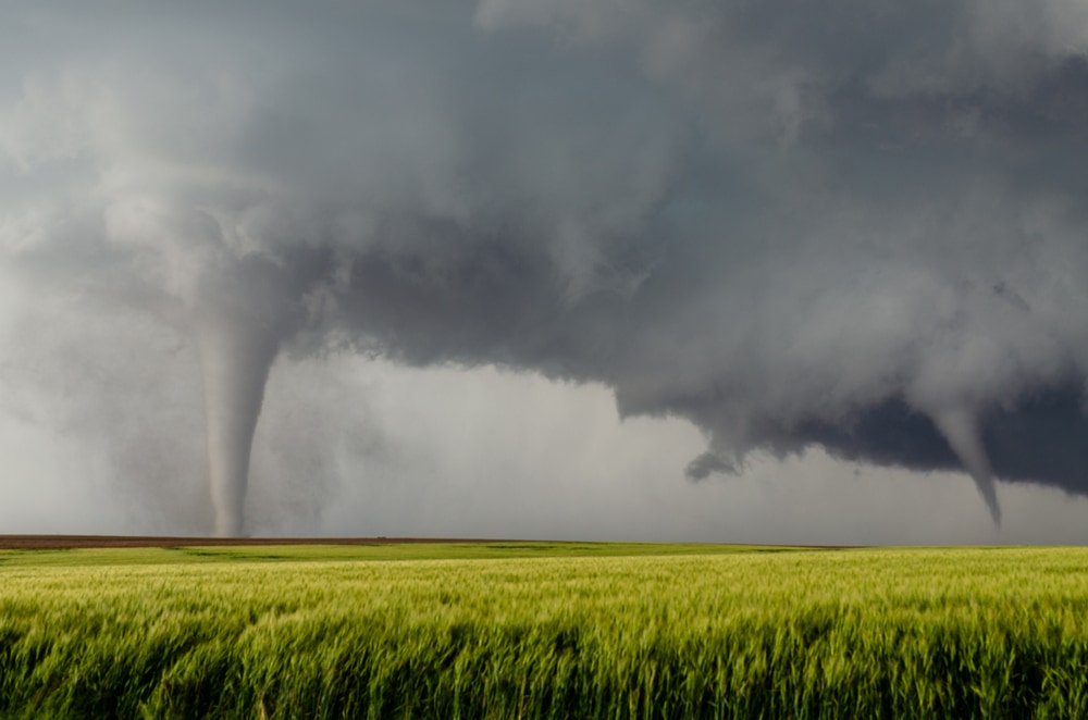
Tornadoes can last from a few seconds to an hour. Most of them don’t last longer than 10 minutes. Before the 1900’s, tornadoes were said to last longer, but many of these reports concerned a series of tornadoes.
Tornado series are multiple tornadoes that come one after the other. This can happen when a cyclic tornado supercell forms in a storm cloud.
To a person hiding out in a battered house, this can easily look like damage from just one tornado.
After 1990, tornado reports got a lot more accurate due to the installation of a new radio technology network. We now know whether the damage was caused by just one tornado or several.
The actual storm will last a lot longer than the tornadoes. Here are two tornadoes appearing at the same time in Kansas.
Are Tornadoes Influenced by Climate Change?
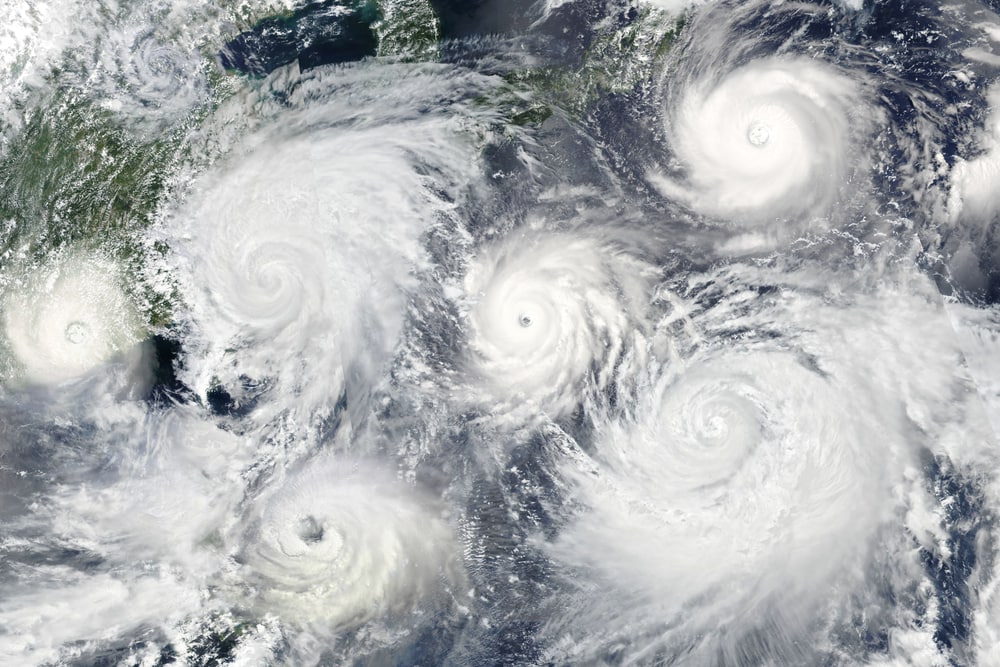
This is a tough question to answer. Weather scientists need to work out how a weather phenomenon that can last only a few seconds will be influenced by long-term changing atmospheric conditions.
Weather Whirls: How Weather Factors Contribute to Tornado Formation
Weather factors that can influence tornado formation are:
- Warm, moist air
- Wind shear: wind moving at different levels, directions, and speeds
- An unstable atmosphere
The amount of warm, moist air is increasing due to climate change, which heats up the atmosphere. This makes it more capable of holding moisture, which triggers an unstable atmosphere and therefore tornadoes.
However, wind shear will decrease due to climate change. These two factors need to work together and against each other to create tornadoes. So the number of tornadoes may not increase with climate change.
The Evolution of Tornado Monitoring and Patterns
In the 1990’s, the Doppler radio network was installed across the USA. This made it possible to monitor most tornadoes, as before many passed unseen in remote locations. We know from this that tornado patterns have changed.
In recent years, there have been fewer tornadoes in Tornado Alley. There are more in Arkansas, Missouri, Illinois, Indiana, Tennessee, and Kentucky.
The number of tornadoes per year hasn’t actually increased. On days where there are tornadoes, there are more than 30 on numerous occasions. There are fewer days with just one or a few tornadoes.
You May Also Like: 24 Types Of Natural Disasters That You Need To Know
Formidable Funnel Types: Understanding The Different Variaties and Types of Tornadoes
There are several types of tornadoes that you may encounter. Here’s the lowdown:
- Single-vortex tornadoes are the classic, powerful tornadoes of twisting air currents formed by a thunderstorm. Has a single funnel.
- Waterspouts are weak tornadoes that form over warm water. Sometimes they will move over land and form a classic tornado.
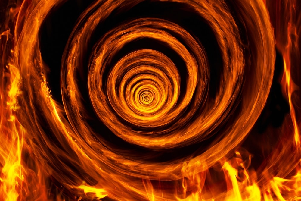
- Fire tornadoes come from wildfires. The fire heats up air, which drives up through cooler air. This in turn attracts more warm air into the funnel, creating a self-perpetuating fire tornado. This causes it to rotate. Fire tornadoes can carry hot ash and spit flames.
- Dust devils are weaker than tornadoes because they are created by air rising from a hot surface. This is why you see them in deserts like Arizona. They are encouraged by the mixing of two different ground surfaces, for example, asphalt and sand.
- Multi-vortex tornadoes are lethal twisters that have several vortices, not just one. They can cause incredible amounts of damage. It is hard to see if a tornado is multi-vortex from the outside. The smaller vortexes swirl around the main vortex, increasing wind speeds by up to 100 mph (161 km/h).
- Supercell storm tornadoes can produce several tornadoes. Supercell tornadoes are regarded as the most dangerous.
- QLCS tornadoes don’t come from supercell storms. Instead, they come from “quasi-linear convective system” storms. 20% of tornadoes are this type. They tend to be weaker and last for less time than supercell tornadoes.
- Landspout or “Rope” tornadoes look like a long, thin strand of rope. There are no warm currents of air going up as in a classic tornado. Instead, the rotation comes from near the ground. These tornadoes tend to be EF 2 or less.
Reading the Skies: Identifying Early Signs of an Incoming Tornado
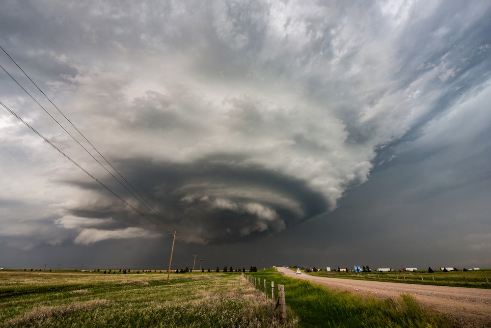
If you want some pre-warning about an approaching tornado, try watching for these signs in the weather pattern.
- Beaver’s Tail: A smooth, flat cloud around the southern edge of the precipitation area. It will extend from the east to the north-east. They suggest rotation.
- Inflow bands are ragged bands of clouds reaching out to the southeast or south. This means the storm is sucking in clouds from around the area. This also means there could be rotation inside the storm.
- Wall Cloud: An isolated cloud will hang down under the storm cloud on its own. It may rotate slowly. You may be able to see wisps of cloud being pulled into its base. This wall cloud can take from 10 to 20 minutes to produce a tornado.
- Condensation funnel: This won’t always touch the ground. If there is dust and flying debris in the air underneath it, it’s a tornado.
- Rear flank downdraft: A vertical wall of air that rushes downward at the back of a storm. It can look like curtains of rain or a bright spot.
Notable Instances of Tornado Devastation Through History
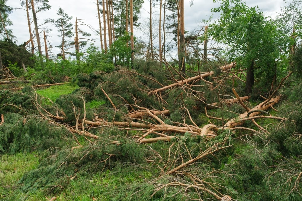
Here are some examples of how destructive this force of nature can be.
- Tri-State Tornado Outbreak, US, 1925: This massive disaster was caused by at least 12 tornadoes across multiple states.
On the 18th of March, these tornadoes created a destruction path a mile wide. For 3.5 hours, they menaced Southern Missouri, Illinois, and Indiana. These tornadoes were in the F5 category, the highest level.
- Saturia-Manikganj Sadar tornado, Bangladesh, 1989: This tornado caused 1,300 fatalities. This makes it the deadliest tornado in recorded history. The tornado’s path was a mile wide and 10 miles long.
The area it passed through had suffered severe drought. Apart from killing people, it destroyed all the buildings within 2.5 square miles (6 square kilometers).
- Bridge Creek Moore Tornado, US, 1999: On May 3rd, 1999, a grand total of 74 tornadoes hit the two states of Texas and Oklahoma.
The strongest of these tornadoes made a path 38 miles (61 km) long. Regarded as an F5-strength event, some call it the first F6 tornado, as the winds reached 3 mph higher than an F5 tornado.
What Causes Tornadoes FAQs
How many people are killed by tornadoes per year?
In 2021, in the US, 105 people were killed by tornadoes. In 2011, there were 553 fatalities due to a large storm.
In 2018, there were only 10 fatalities. In other countries with less developed infrastructure, like Bangladesh, the death toll reached 1,300 in 1989.
Can you outrun a tornado in a vehicle?
Tornadoes can move at more than 90 mph (144 kph). They can change directions very quickly and are very unpredictable.
If you are going to try and outrun a tornado in a car, drive at a 90-degree angle to the direction the tornado is heading. Cars have been thrown through the air for up to a quarter of a mile by tornadoes.
How big are tornadoes?
Tornadoes can change in size as they progress. Small tornadoes can be just 10 yards (0.009 km) wide. Large tornadoes can be as wide as 1 mile (1.6 km). The path of a tornado can average in length from 1 to 2 miles (1.6–3.2 km).
Do storm clouds always cause tornadoes?
Storm clouds don’t always cause tornadoes. Even funnel clouds with no crosswinds don’t always form tornadoes.
It is still not completely understood if a tornado will form in a particular storm cloud. Storms with the identifying factors above are more likely to cause tornadoes.


