
Maine mammals

American water shrew in Maine

Sorex palustris

Native to Maine

Not listed as nonindigenous in Maine by USGS NAS; treated as native to its mapped Maine range.

IUCN Red List status

  1. LC
  2. NT
  3. VU
  4. EN
  5. CR
  6. EW
  7. EX

LC – Least Concern

Widespread and abundant; not at risk.

American water shrew in Maine, by the numbers

Occasional in Maine 45th most recorded of 85 mammals logged in Maine

29 occurrence records

Records from 2000–2026.

29 total records count every Maine occurrence from GBIF and iNaturalist; the monthly chart covers the 28 records with a full observation date.

When to look for the American water shrew in Maine

Most sightings fall in July to September.

28 Maine occurrence records (iNaturalist and GBIF) by month of year, 2000–2026. Shows when the species is recorded, not a guarantee of presence. Based on a small number of dated records; the seasonal pattern may not be representative.

Monthly Maine records (table)
MonthRecords
January0
February0
March1
April4
May0
June1
July8
August5
September7
October1
November1
December0

Monthly american water shrew occurrence records (iNaturalist and GBIF) in Maine, 2000–2026.

Seasonality

Year-round in Maine, with recorded sightings peaking in July–September.

Occurrence map

Where American water shrew has been recorded in Maine

29 records mapped · zoom and drag to explore

29 Maine records mapped

Notable places to look

Park, forest, or monumentiNaturalist records
Appalachian National Scenic Trail 4
Baxter State Park 3

Protected places with the most american water shrew sightings, from the USGS Protected Areas Database plus named mountain ranges, good spots to look, not a full breakdown, so they don't sum to the total.

Where it's recorded in Maine

CountyRecords
Piscataquis County 8
Cumberland County 5
Somerset County 3
York County 2
Aroostook County 2
Oxford County 2
Penobscot County 2
Hancock County 2
Washington County 1
Androscoggin County 1
Franklin County 1

The complete county distribution, spread across 11 Maine counties. Every occurrence record falls in one county, so these sum to the total. Counties from GBIF and US Census boundaries.

Maine has only 29 mapped records of the American water shrew, but the state holds something genuinely unusual for this species: shrews living almost at sea level, when most of the species’ confirmed range sits high in mountain streams out west.

A sea-level foothold, rare for the species

Nationally, water shrew records cluster hardest above 6,500 feet in places like Utah, Wyoming, and Nevada, where cold, fast, oxygen-rich mountain streams support the aquatic insect larvae this shrew hunts by touch. Maine’s coastal streams manage the same trick without any elevation at all: cold, clean, quick-moving water draining the state’s granite coastal hills stays oxygenated enough, even down near the shore, to hold the same prey base a shrew would otherwise have to climb a mountain to find.

Small streams inside big coastal refuges

Maine’s records come from Acadia National Park and the Down East refuges of Rachel Carson and Petit Manan, places best known for salt marsh, tidal flats, and offshore islands. The water shrew itself isn’t a creature of the salt marsh; it needs fresh, running water, and what draws it to these refuges is the network of small, cold freshwater streams that cut through them on the way to the coast, not the tidal habitat the refuges are named for.

Status in Maine

USGS NAS doesn’t list the American water shrew as nonindigenous in Maine, and it’s treated as native across its mapped range in the state.
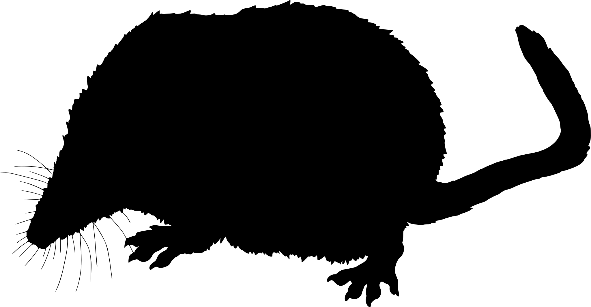
Occurrence data from iNaturalist and GBIF.

More mammals in Maine in the atlas

Data & sources

The data and visualizations on this page draw on these open sources:

  • GBIFCC-BY 4.0occurrence records behind the range map, elevation, and record counts
  • iNaturalistCC0 / CC-BY / CC-BY-SAobservations, photos, and audio recordings
  • IUCN Red Listattributed factthe global conservation status
  • USGS NASpublic domainnative / introduced status
  • Natural Earthpublic domainthe relief basemap
  • USFSpublic domainnational-forest boundaries
  • USGS Protected Areas Databasepublic domainthe named parks, forests, and refuges behind "notable places to look"




