
Montana mammals

American water shrew in Montana

Sorex palustris

Native to Montana

Not listed as nonindigenous in Montana by USGS NAS; treated as native to its mapped Montana range.

IUCN Red List status

  1. LC
  2. NT
  3. VU
  4. EN
  5. CR
  6. EW
  7. EX

LC – Least Concern

Widespread and abundant; not at risk.

American water shrew in Montana, by the numbers

Common in Montana 33rd most recorded of 122 mammals logged in Montana

210 occurrence records

Records from 2000–2026.

210 total records count every Montana occurrence from GBIF and iNaturalist; the monthly chart covers the 207 records with a full observation date.

When to look for the American water shrew in Montana

Most sightings fall in July.

207 Montana occurrence records (iNaturalist and GBIF) by month of year, 2000–2026. Shows when the species is recorded, not a guarantee of presence.

Monthly Montana records (table)
MonthRecords
January8
February16
March12
April11
May5
June26
July69
August40
September4
October8
November6
December2

Monthly american water shrew occurrence records (iNaturalist and GBIF) in Montana, 2000–2026.

Seasonality

Year-round in Montana, with recorded sightings peaking in July.

Occurrence map

Where American water shrew has been recorded in Montana

210 records mapped · zoom and drag to explore

210 Montana records mapped

Notable places to look

Park, forest, or monumentiNaturalist records
Lolo National Forest 8
Anaconda Pintler Wilderness 3
Flathead Lake Biological Station 3
Glacier National Park 2
Yellowstone National Park 1
Bitterroot National Forest 1
Lee Metcalf Wilderness 1
Beaverhead National Forest 1

Protected places with the most american water shrew sightings, from the USGS Protected Areas Database plus named mountain ranges, good spots to look, not a full breakdown, so they don't sum to the total.

Where it's recorded in Montana

CountyRecords
Missoula County 79
Lake County 25
Flathead County 19
Park County 13
Gallatin County 9
Beaverhead County 8
Lincoln County 7
Madison County 5
Deer Lodge County 5
Granite County 5
Glacier County 5
Mineral County 5
10 other counties 25

The complete county distribution, spread across 22 Montana counties. Every occurrence record falls in one county, so these sum to the total. Counties from GBIF and US Census boundaries.

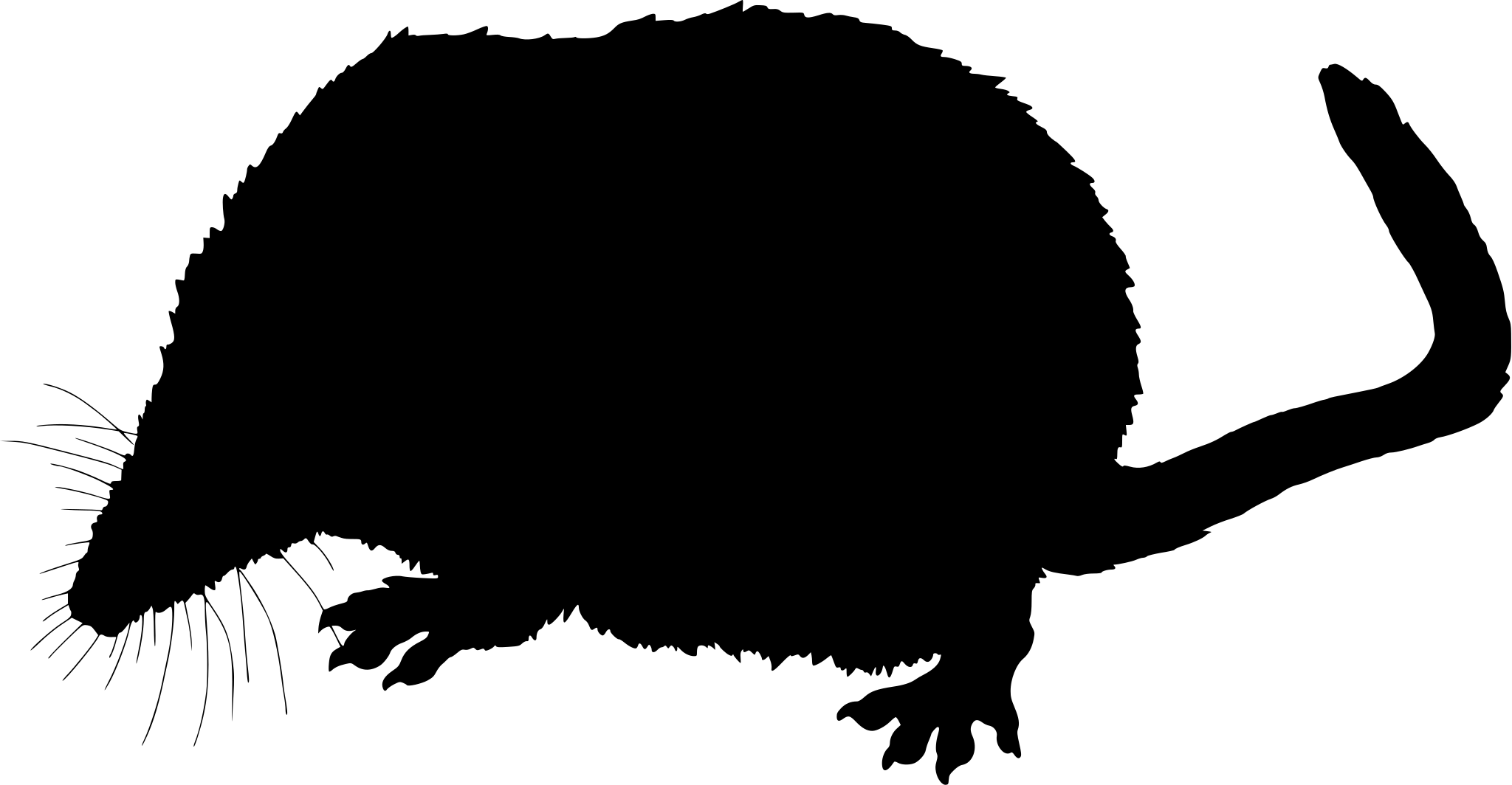
Montana’s American water shrew records follow cold, clean water, with reports concentrated near Flathead Lake and the wetlands of Red Rock Lakes National Wildlife Refuge, both places with the fast, oxygen-rich streams this diving shrew needs to hunt aquatic insect larvae. All 210 Montana records come from GBIF rather than iNaturalist, unsurprising for an animal that spends most of its short life underwater or under a stream bank rather than in view.

Reports peak sharply in July, with 69 of the 210 records, more than double the June count, tapering into August; that’s a summer fieldwork window, not a sign the shrew goes quiet the rest of the year, since it has to feed every few minutes around the clock regardless of season. Montana has no NatureServe subnational rank on file for this species, so its status here rests on federal nonindigenous-species data confirming it’s native rather than a formal state-level rank.
More mammals in Montana in the atlas

Data & sources

The data and visualizations on this page draw on these open sources:

  • GBIFCC-BY 4.0occurrence records behind the range map, elevation, and record counts
  • iNaturalistCC0 / CC-BY / CC-BY-SAobservations, photos, and audio recordings
  • IUCN Red Listattributed factthe global conservation status
  • USGS NASpublic domainnative / introduced status
  • Natural Earthpublic domainthe relief basemap
  • USFSpublic domainnational-forest boundaries
  • USGS Protected Areas Databasepublic domainthe named parks, forests, and refuges behind "notable places to look"




