California mammals

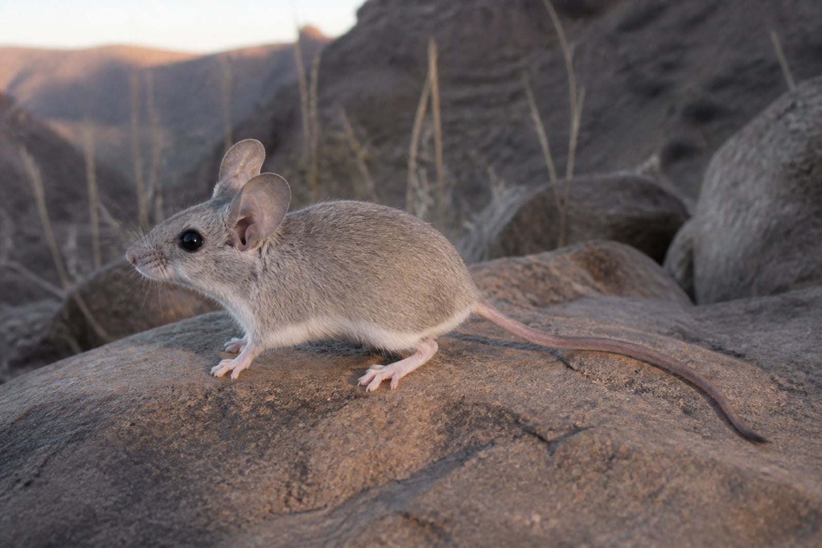
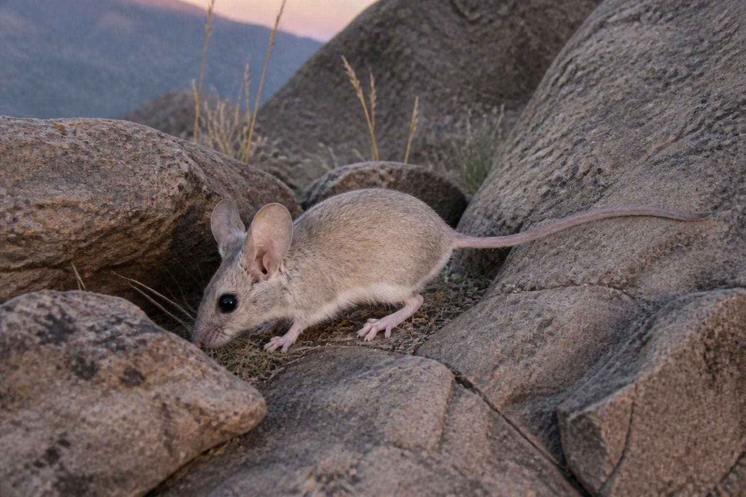
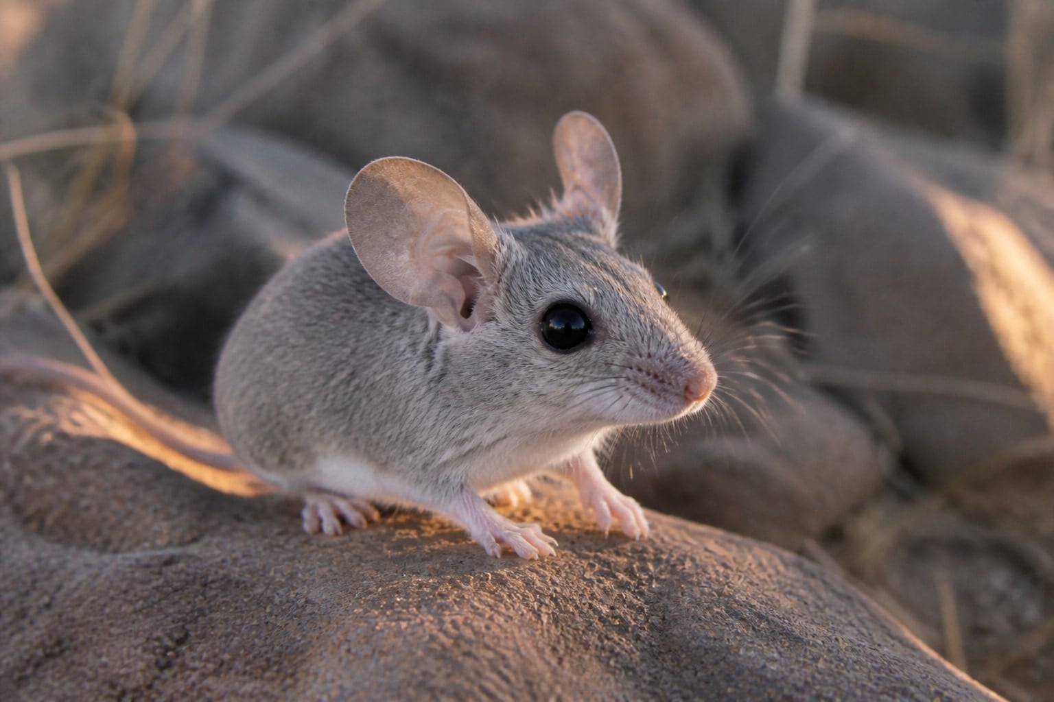
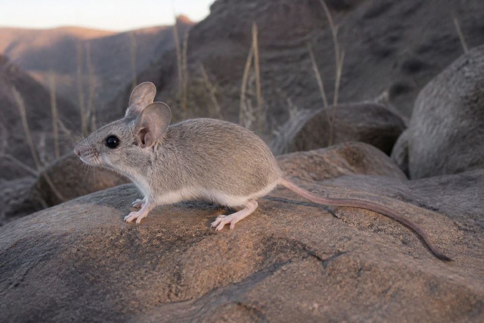
Canyon mouse in California

Peromyscus crinitus

Native to California SNR Unranked in California

Not listed as nonindigenous in California by USGS NAS; native to its California range.

IUCN Red List status

  1. LC
  2. NT
  3. VU
  4. EN
  5. CR
  6. EW
  7. EX

LC – Least Concern

Widespread and abundant; not at risk.

Canyon mouse in California, by the numbers

Occasional in California 96th most recorded of 233 mammals logged in California

397 occurrence records
1 with iNaturalist photos

Records from 2000–2026.

397 total records count every California occurrence from GBIF and iNaturalist; the map plots a georeferenced sample of 300.

When to look for the Canyon mouse in California

Most sightings fall in March to May.

397 California occurrence records (iNaturalist and GBIF) by month of year, 2000–2026. Shows when the species is recorded, not a guarantee of presence.

Monthly California records (table)
MonthRecords
January5
February1
March62
April85
May52
June6
July26
August5
September77
October52
November24
December2

Monthly canyon mouse occurrence records (iNaturalist and GBIF) in California, 2000–2026.

Seasonality

Year-round in California, with recorded sightings peaking in March–May, with a smaller rise in September–October.

Occurrence map

Where Canyon mouse has been recorded in California

300 records mapped · zoom and drag to explore

300 California records mapped

Notable places to look

Park, forest, or monumentiNaturalist records
Death Valley National Park 68
Mojave National Preserve 17
Joshua Tree National Park 13
Inyo Mountains Wilderness Area 9
Golden Trout Wilderness 7
Doyle Wildlife Area 2
Mecca Hills Wilderness Area 1
Cadiz Dunes Wilderness Area 1

Protected places with the most canyon mouse sightings, from the USGS Protected Areas Database plus named mountain ranges, good spots to look, not a full breakdown, so they don't sum to the total.

Where it's recorded in California

CountyRecords
Inyo County 234
San Bernardino County 95
Riverside County 33
Lassen County 14
Kern County 11
Mono County 5
Tulare County 2
Modoc County 2
Imperial County 1

The complete county distribution, spread across 9 California counties. Every occurrence record falls in one county, so these sum to the total. Counties from GBIF and US Census boundaries.

Canyon mouse records collect around rock rather than open sand. California’s Mojave and Colorado deserts hold the main clusters, including canyon country near Death Valley and the Joshua Tree region.

Reports build through spring, with another smaller lift in early fall as desert heat eases. Nearly all records come from museum and survey collections, so field schedules matter greatly. The two-season pattern shows when mice were documented, not when they were absent from rocky habitat.
Occurrence data from iNaturalist and GBIF.

More mammals in California in the atlas

Data & sources

The data and visualizations on this page draw on these open sources:

  • GBIFCC-BY 4.0occurrence records behind the range map, elevation, and record counts
  • iNaturalistCC0 / CC-BY / CC-BY-SAobservations, photos, and audio recordings
  • NatureServe ExplorerCC-BYthe state conservation rank
  • IUCN Red Listattributed factthe global conservation status
  • USGS NASpublic domainnative / introduced status
  • Natural Earthpublic domainthe relief basemap
  • USFSpublic domainnational-forest boundaries
  • USGS Protected Areas Databasepublic domainthe named parks, forests, and refuges behind "notable places to look"