
California mammals

Chital in California

Axis axis

Introduced to California

California's Axis axis records are of an introduced species; it does not occur here as a wild native population.

IUCN Red List status

  1. LC
  2. NT
  3. VU
  4. EN
  5. CR
  6. EW
  7. EX

LC – Least Concern

Widespread and abundant; not at risk.

Chital in California, by the numbers

Rare in California 208th most recorded of 241 mammals logged in California

12 occurrence records
1 with iNaturalist photos

Records from 2000–2026.

12 total records count every California occurrence from GBIF and iNaturalist; the monthly chart covers the 8 records with a full observation date.

When to look for the Chital in California

Most sightings fall in December.

8 California occurrence records (iNaturalist and GBIF) by month of year, 2000–2026. Shows when the species is recorded, not a guarantee of presence. Based on a small number of dated records; the seasonal pattern may not be representative.

Monthly California records (table)
MonthRecords
January1
February0
March1
April0
May0
June0
July0
August0
September0
October0
November2
December4

Monthly chital occurrence records (iNaturalist and GBIF) in California, 2000–2026.

Seasonality

Sparse observation record in California; presence confirmed but timing of activity not well documented.

Occurrence map

Where Chital has been recorded in California

12 records mapped · zoom and drag to explore

12 California records mapped

Notable places to look

Park, forest, or monumentiNaturalist records
Phillip Burton Wilderness Area 1

Protected places with the most chital sightings, from the USGS Protected Areas Database plus named mountain ranges, good spots to look, not a full breakdown, so they don't sum to the total.

Where it's recorded in California

CountyRecords
San Francisco County 8
Marin County 4

The complete county distribution, spread across 2 California counties. Every occurrence record falls in one county, so these sum to the total. Counties from GBIF and US Census boundaries.

Chital, also called axis deer, have never been native anywhere in California. Every one of the state’s twelve documented records traces back to deliberately introduced game stock, not an animal that arrived here on its own.

A Point Reyes herd, released and later removed

The best-known California chital showed up at Point Reyes, where ranch owners released axis deer alongside European fallow deer in the 1940s as an addition to the peninsula’s dairy and cattle land. Both species spread across the park’s grassy headlands for decades. The National Park Service spent years working to remove them, and by the early 2020s it had culled the last animals from Point Reyes entirely. Nothing about that history involves natural range expansion; it’s a released and later eradicated herd, start to finish.

Record counts too small for anything but a managed herd

California’s chital records stay in the single digits across most months, with a small bump in November and December that likely tracks fall observation effort rather than any breeding-season shift. That thin, scattered pattern matches a small, fenced or since-removed herd rather than an animal spreading freely across the landscape the way it has on unfenced Texas hunting ranches.

Status in California

The state’s own classification lists chital as introduced and non-native, with no state-level conservation listing applying to an animal that was never part of California’s wild fauna. Globally the species carries a Least Concern rating from the IUCN, a status earned in its native India and Sri Lanka rather than anywhere in this state.
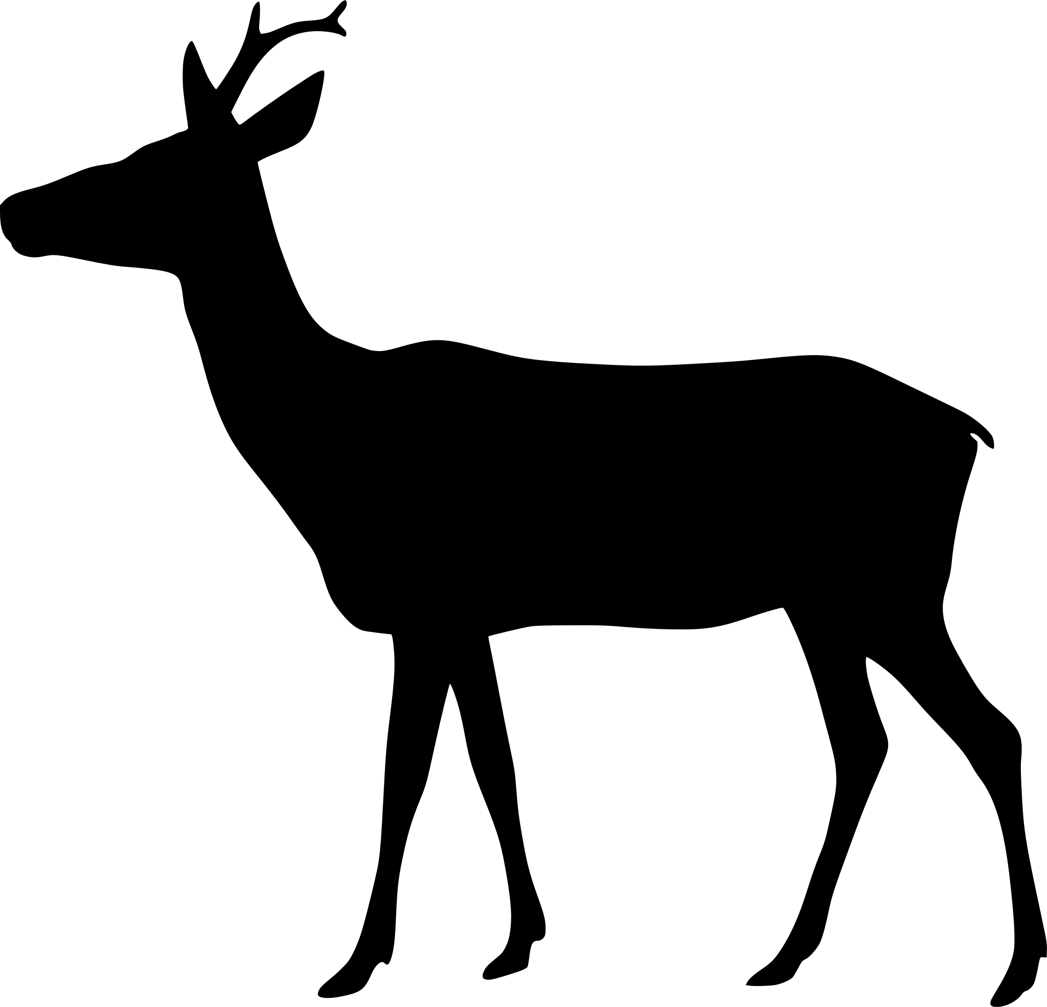
Occurrence data from iNaturalist and GBIF.

More mammals in California in the atlas

Data & sources

The data and visualizations on this page draw on these open sources:

  • GBIFCC-BY 4.0occurrence records behind the range map, elevation, and record counts
  • iNaturalistCC0 / CC-BY / CC-BY-SAobservations, photos, and audio recordings
  • NatureServe ExplorerCC-BYthe state conservation rank
  • IUCN Red Listattributed factthe global conservation status
  • USGS NASpublic domainnative / introduced status
  • Natural Earthpublic domainthe relief basemap
  • USFSpublic domainnational-forest boundaries
  • USGS Protected Areas Databasepublic domainthe named parks, forests, and refuges behind "notable places to look"




