Iowa mammals

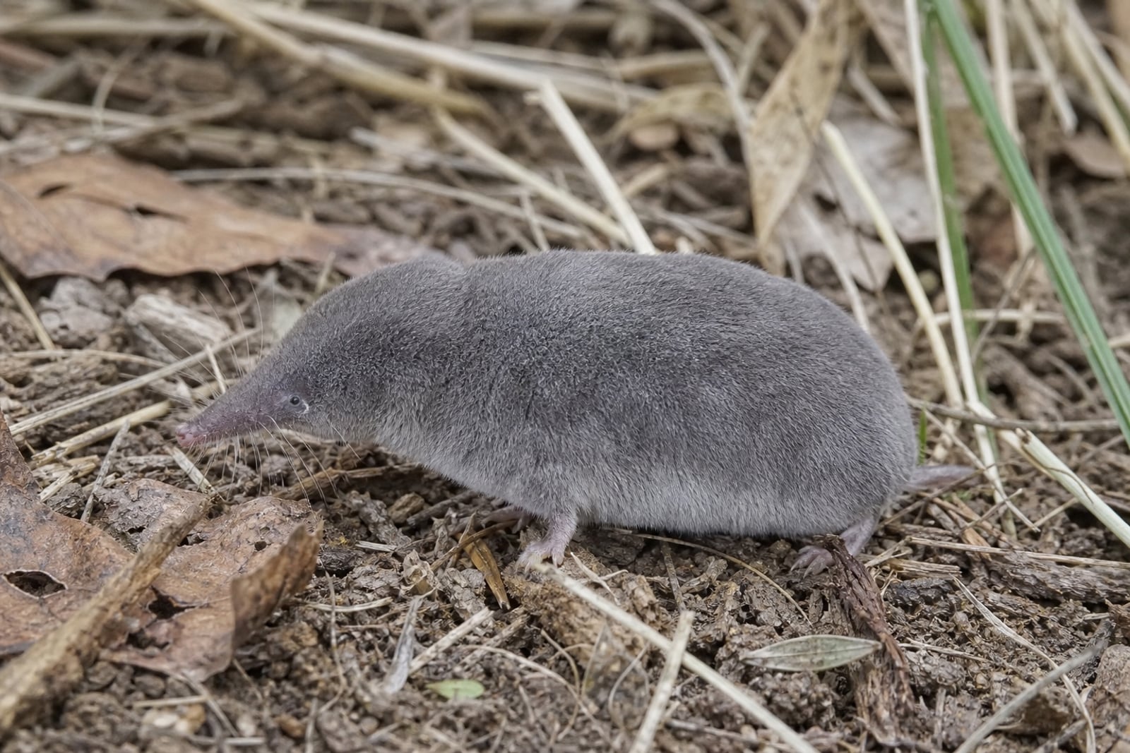
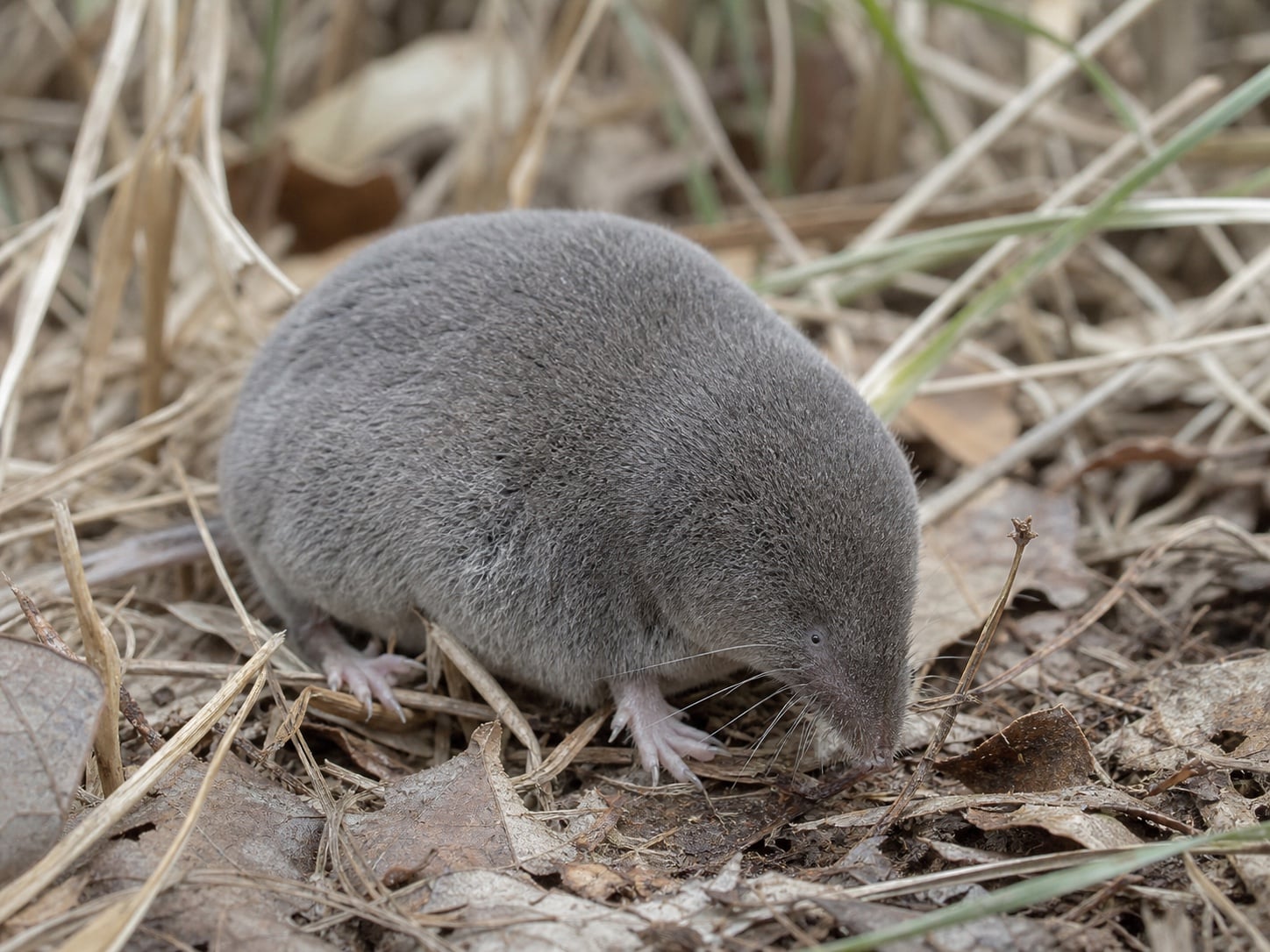
Elliot's Short-tailed Shrew in Iowa

Blarina hylophaga

Native to Iowa SNR Unranked in Iowa

Not listed as nonindigenous in Iowa by USGS NAS; native to its Iowa range.

IUCN Red List status

  1. LC
  2. NT
  3. VU
  4. EN
  5. CR
  6. EW
  7. EX

LC – Least Concern

Widespread and abundant; not at risk.

Elliot's Short-tailed Shrew in Iowa, by the numbers

Common in Iowa 23rd most recorded of 74 mammals logged in Iowa

43 occurrence records

Records from 2000–2026.

When to look for the Elliot's Short-tailed Shrew in Iowa

Most sightings fall in July.

43 Iowa occurrence records (iNaturalist and GBIF) by month of year, 2000–2026. Shows when the species is recorded, not a guarantee of presence.

Monthly Iowa records (table)
MonthRecords
January0
February0
March0
April0
May0
June4
July39
August0
September0
October0
November0
December0

Monthly elliot's short-tailed shrew occurrence records (iNaturalist and GBIF) in Iowa, 2000–2026.

Seasonality

Year-round in Iowa, with recorded sightings peaking in July.

Occurrence map

Where Elliot's Short-tailed Shrew has been recorded in Iowa

43 records mapped · zoom and drag to explore

43 Iowa records mapped

Where it's recorded in Iowa

CountyRecords
Page County 27
Fremont County 16

The complete county distribution, spread across 2 Iowa counties. Every occurrence record falls in one county, so these sum to the total. Counties from GBIF and US Census boundaries.

Iowa’s dated series for Elliott’s short-tailed shrew contains 43 records, 39 of them in July and four in June. With no entries in the other ten months, the overlay shows a highly concentrated observation record rather than the abundance or full seasonal presence of the species.

NatureServe lists the shrew as SNR (Unranked) in Iowa. Neal Smith National Wildlife Refuge, Loess Hills prairie preserves, and local restored prairies are the three places named for searching, but the monthly data are too narrow to distinguish biological seasonality from survey timing.
More mammals in Iowa in the atlas

Data & sources

The data and visualizations on this page draw on these open sources:

  • GBIFCC-BY 4.0occurrence records behind the range map, elevation, and record counts
  • iNaturalistCC0 / CC-BY / CC-BY-SAobservations, photos, and audio recordings
  • NatureServe ExplorerCC-BYthe state conservation rank
  • IUCN Red Listattributed factthe global conservation status
  • USGS NASpublic domainnative / introduced status
  • Natural Earthpublic domainthe relief basemap