
Texas mammals

European Fallow Deer in Texas

Dama dama

Introduced to Texas

Texas's Dama dama records are of an introduced species; it does not occur here as a wild native population.

IUCN Red List status

  1. LC
  2. NT
  3. VU
  4. EN
  5. CR
  6. EW
  7. EX

LC – Least Concern

Widespread and abundant; not at risk.

European Fallow Deer in Texas, by the numbers

Occasional in Texas 71st most recorded of 197 mammals logged in Texas

193 occurrence records
188 with iNaturalist photos
Jun 12, 2026 Last seen in Texas

Records from 2000–2026.

When to look for the European Fallow Deer in Texas

Most sightings fall in November to December.

193 Texas occurrence records (iNaturalist and GBIF) by month of year, 2000–2026. Shows when the species is recorded, not a guarantee of presence.

Monthly Texas records (table)
MonthRecords
January13
February10
March14
April17
May23
June19
July10
August13
September19
October14
November25
December16

Monthly european fallow deer occurrence records (iNaturalist and GBIF) in Texas, 2000–2026.

Seasonality

Year-round in Texas, with recorded sightings peaking in November–December, with a smaller rise in April–June and September.

Occurrence map

Where European Fallow Deer has been recorded in Texas

193 records mapped · zoom and drag to explore

193 Texas records mapped

Notable places to look

Park, forest, or monumentiNaturalist records
Kerr Wildlife Management Area 1
Kickapoo Cavern State Park 1
Bentsen - Rio Grande Valley State Park 1
Heart Of The Hills Fisheries Science Center 1

Protected places with the most european fallow deer sightings, from the USGS Protected Areas Database plus named mountain ranges, good spots to look, not a full breakdown, so they don't sum to the total.

Where it's recorded in Texas

CountyRecords
Kerr County 30
Edwards County 13
Comal County 12
Hays County 10
Val Verde County 10
Bandera County 8
Williamson County 8
Bexar County 7
Gillespie County 6
Travis County 5
Henderson County 4
Burnet County 4
53 other counties 76

The complete county distribution, spread across 65 Texas counties. Every occurrence record falls in one county, so these sum to the total. Counties from GBIF and US Census boundaries.

Texas holds 193 records of fallow deer, most of them concentrated in the limestone hills of the Hill Country and Edwards Plateau. That’s a small count next to the state’s native deer, and it traces back to ranching rather than a natural range expansion. Fallow deer aren’t native to North America at all.

Escapees from Hill Country game ranches

Fallow deer come from the Mediterranean and parts of Europe, and reached Texas as a stocked species on high-fenced exotic-game ranches. The Hill Country and Edwards Plateau hold the country’s largest concentration of these operations, and animals that get through a fence line go on to build free-ranging herds in the nearby oak-juniper woodland and limestone canyons. That’s the pattern behind reports from Balcones Canyonlands National Wildlife Refuge and the rugged canyon country of Devils River State Natural Area, farther west along the plateau’s edge.

Antlered herds, not solitary browsers

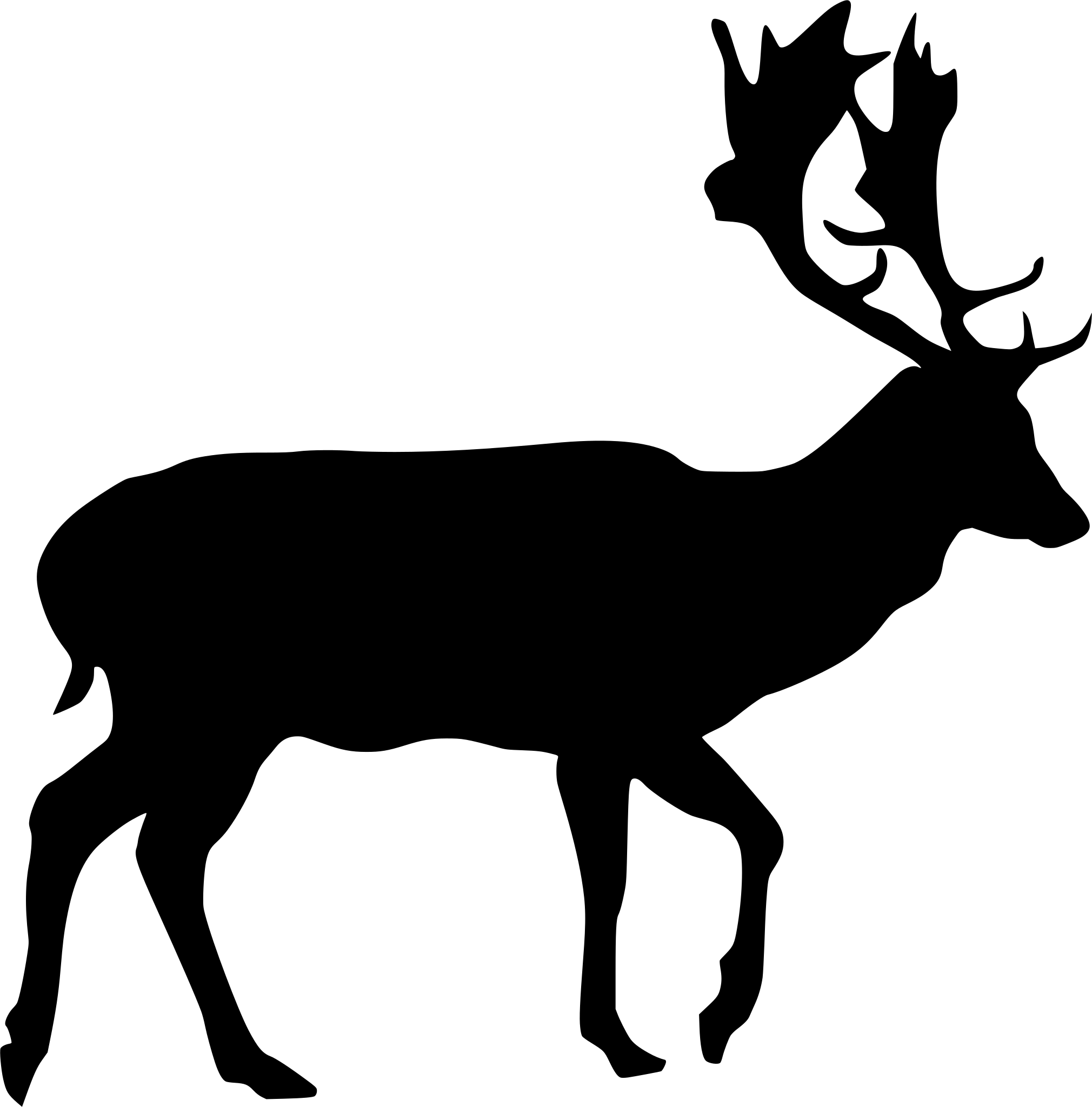
Bucks carry broad, flattened antlers, unlike the branching, pointed antlers of the state’s native white-tailed deer, the clearest field mark for telling the two apart. Through the fall breeding season, bucks hold ground at fixed spots where they groan and posture to draw does in, a different breeding system from whitetail’s roving bucks. Outside the rut, fallow deer split into separate buck and doe groups and browse and graze together on grasses, leafy plants, and shrubby growth across the plateau’s oak-juniper cover and limestone glades.

Status in Texas

NatureServe lists fallow deer as SNA, not applicable, in Texas, because it’s an introduced species rather than part of the state’s native fauna. Reports here trace back to Hill Country ranch country and the free-ranging herds that have grown out of it, not a species native to the Texas wild.
Occurrence data from iNaturalist and GBIF.

More mammals in Texas in the atlas

Data & sources

The data and visualizations on this page draw on these open sources:

  • GBIFCC-BY 4.0occurrence records behind the range map, elevation, and record counts
  • iNaturalistCC0 / CC-BY / CC-BY-SAobservations, photos, and audio recordings
  • NatureServe ExplorerCC-BYthe state conservation rank
  • IUCN Red Listattributed factthe global conservation status
  • USGS NASpublic domainnative / introduced status
  • Natural Earthpublic domainthe relief basemap
  • USFSpublic domainnational-forest boundaries
  • USGS Protected Areas Databasepublic domainthe named parks, forests, and refuges behind "notable places to look"




