Michigan mammals

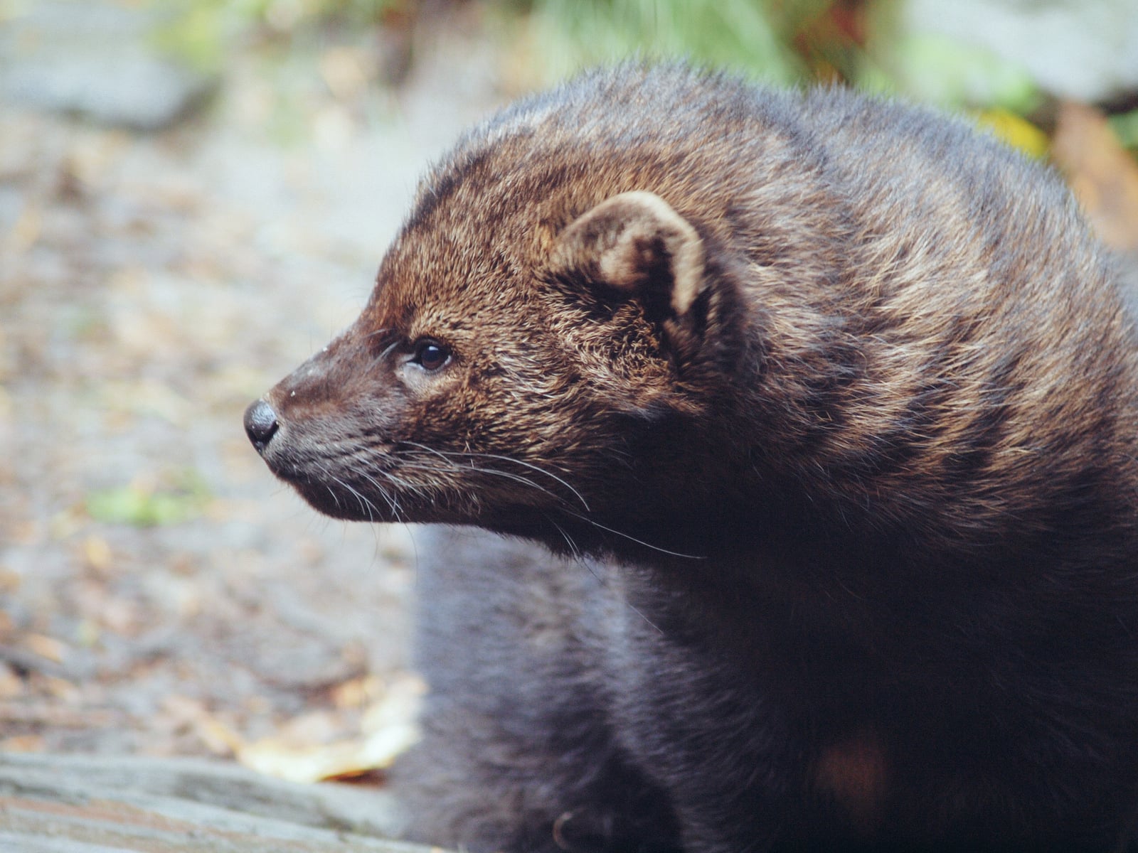
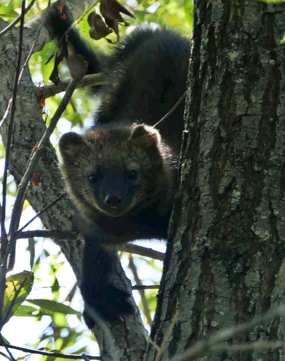
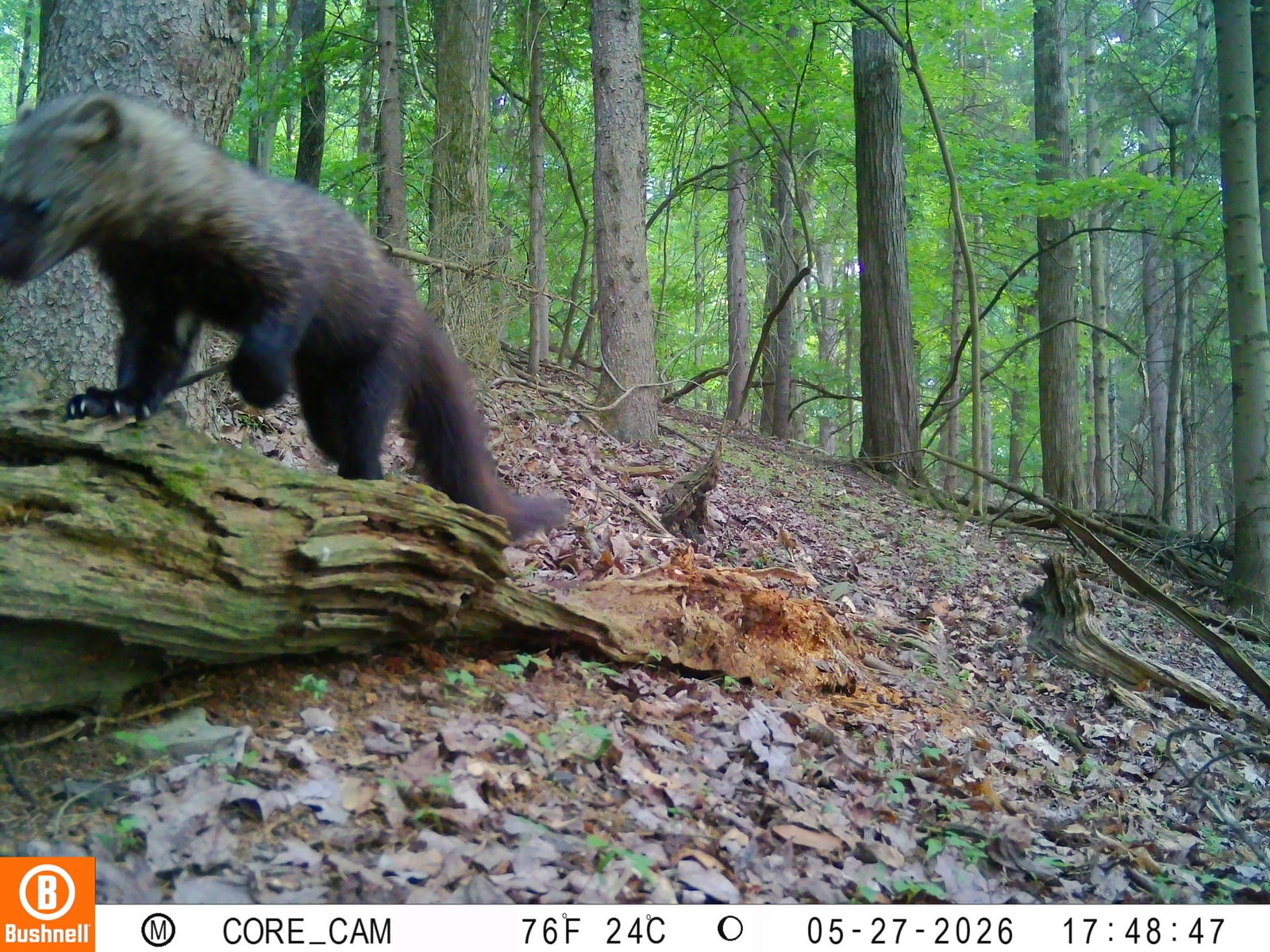
Fisher in Michigan

Pekania pennanti

Native to Michigan S4 Apparently Secure in Michigan

Not listed as nonindigenous in Michigan by USGS NAS; native to its Michigan range.

IUCN Red List status

NE – Not Evaluated

Not yet assessed against IUCN Red List criteria.

Fisher in Michigan, by the numbers

Common in Michigan 19th most recorded of 75 mammals logged in Michigan

669 occurrence records
64 with iNaturalist photos
Jun 20, 2026 Last seen in Michigan

Records from 2000–2026.

669 total records count every Michigan occurrence from GBIF and iNaturalist; the map plots a georeferenced sample of 300; the monthly chart covers the 668 records with a full observation date.

When to look for the Fisher in Michigan

Most sightings fall in December.

668 Michigan occurrence records (iNaturalist and GBIF) by month of year, 2000–2026. Shows when the species is recorded, not a guarantee of presence.

Monthly Michigan records (table)
MonthRecords
January6
February5
March16
April11
May0
June3
July2
August3
September11
October6
November15
December590

Monthly fisher occurrence records (iNaturalist and GBIF) in Michigan, 2000–2026.

Seasonality

Year-round in Michigan, with recorded sightings peaking in December.

Occurrence map

Where Fisher has been recorded in Michigan

300 records mapped · zoom and drag to explore

300 Michigan records mapped

Notable places to look

Park, forest, or monumentiNaturalist records
Ottawa National Forest 70
Newberry State Forest Area 31
Gwinn State Forest Area 17
Crystal Falls State Forest Area 9
Baraga State Forest Area 8
Porcupine Mountains Wilderness State Park 6
Sault Ste. Marie State Forest Area 4
Shingleton State Foreset Area 4

Protected places with the most fisher sightings, from the USGS Protected Areas Database plus named mountain ranges, good spots to look, not a full breakdown, so they don't sum to the total.

Where it's recorded in Michigan

CountyRecords
Gogebic County 149
Marquette County 112
Ontonagon County 103
Houghton County 72
Iron County 58
Luce County 34
Baraga County 27
Alger County 26
Chippewa County 21
Menominee County 13
Schoolcraft County 13
Dickinson County 12
4 other counties 29

The complete county distribution, spread across 16 Michigan counties. Every occurrence record falls in one county, so these sum to the total. Counties from GBIF and US Census boundaries.

Michigan fisher records are notably Upper Peninsular, with clusters around the Keweenaw Peninsula, Pictured Rocks, and Seney National Wildlife Refuge. These localities connect mature northern forest with rocky Lake Superior terrain and the wetland-forest mosaic of the eastern U.P., while roads and trails provide many of the actual observation opportunities.

Records exist across the calendar but peak in December, when snow can preserve tracks and leaf-off improves sight lines. That December signal and the named clusters describe reporting, not fisher abundance; remote forest away from public access is much less likely to generate a record.
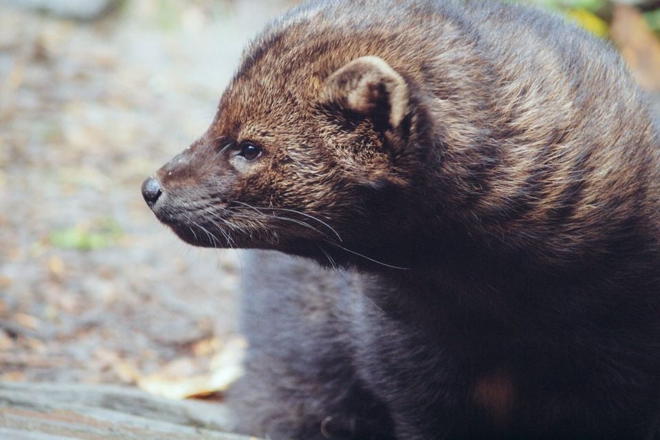

Occurrence data from iNaturalist and GBIF.

Fisher in other states

More mammals in Michigan in the atlas

Data & sources

The data and visualizations on this page draw on these open sources:

  • GBIFCC-BY 4.0occurrence records behind the range map, elevation, and record counts
  • iNaturalistCC0 / CC-BY / CC-BY-SAobservations, photos, and audio recordings
  • NatureServe ExplorerCC-BYthe state conservation rank
  • IUCN Red Listattributed factthe global conservation status
  • USGS NASpublic domainnative / introduced status
  • Natural Earthpublic domainthe relief basemap
  • USFSpublic domainnational-forest boundaries
  • USGS Protected Areas Databasepublic domainthe named parks, forests, and refuges behind "notable places to look"