
California mammals

Fringed Myotis in California

Myotis thysanodes

Native to California S3 Vulnerable in California

Not listed as nonindigenous in California by USGS NAS; native to its California range.

IUCN Red List status

  1. LC
  2. NT
  3. VU
  4. EN
  5. CR
  6. EW
  7. EX

LC – Least Concern

Widespread and abundant; not at risk.

Fringed Myotis in California, by the numbers

Rare in California 198th most recorded of 241 mammals logged in California

376 occurrence records
14 with iNaturalist photos

Records from 2000–2026.

376 total records count every California occurrence from GBIF and iNaturalist; the map plots a georeferenced sample of 300; the monthly chart covers the 373 records with a full observation date.

When to look for the Fringed Myotis in California

Most sightings fall in June to July.

373 California occurrence records (iNaturalist and GBIF) by month of year, 2000–2026. Shows when the species is recorded, not a guarantee of presence.

Monthly California records (table)
MonthRecords
January4
February7
March19
April50
May23
June64
July73
August34
September32
October47
November13
December7

Monthly fringed myotis occurrence records (iNaturalist and GBIF) in California, 2000–2026.

Seasonality

Year-round in California, with recorded sightings peaking in June–July, with a smaller rise in October and April.

Occurrence map

Where Fringed Myotis has been recorded in California

300 records mapped · zoom and drag to explore

300 California records mapped

Notable places to look

Park, forest, or monumentiNaturalist records
Phillip Burton Wilderness Area 57
Fort Tejon State Historic Park 10
Pinnacles National Park 5
Death Valley National Park 4
Yosemite National Park 4
Stanislaus National Forest 4
Fremont Peak State Park 3
Sequoia National Park 2

Protected places with the most fringed myotis sightings, from the USGS Protected Areas Database plus named mountain ranges, good spots to look, not a full breakdown, so they don't sum to the total.

Where it's recorded in California

CountyRecords
Napa County 70
Marin County 66
Kern County 61
San Bernardino County 28
Tuolumne County 26
San Diego County 14
Lake County 13
Sonoma County 11
San Mateo County 9
San Benito County 8
Monterey County 8
Tulare County 8
17 other counties 54

The complete county distribution, spread across 29 California counties. Every occurrence record falls in one county, so these sum to the total. Counties from GBIF and US Census boundaries.

Fringed myotis roosts in caves, mines, and rock crevices by day and forages over desert scrub and woodland by night, which fits why Death Valley, Joshua Tree, and the Mojave National Preserve carry so many of California’s records. Those desert parks hold the rocky roosts and insect-rich washes this bat actually uses.

Only 14 of California’s 376 records came from iNaturalist, with the rest from GBIF, a lopsided split that points to bat surveys, mist-net studies, and museum specimens rather than casual photos of a small nocturnal animal most people never see up close.

July is the clear high point in the monthly count, building from a smaller April peak and tapering into a second rise in October. That summer-to-fall shape most likely tracks when field crews run acoustic and capture surveys, not when the bats are truly most active.

California ranks the species S3, vulnerable at the state level, a status that carries more weight given how few of these records come from anything but targeted survey work.
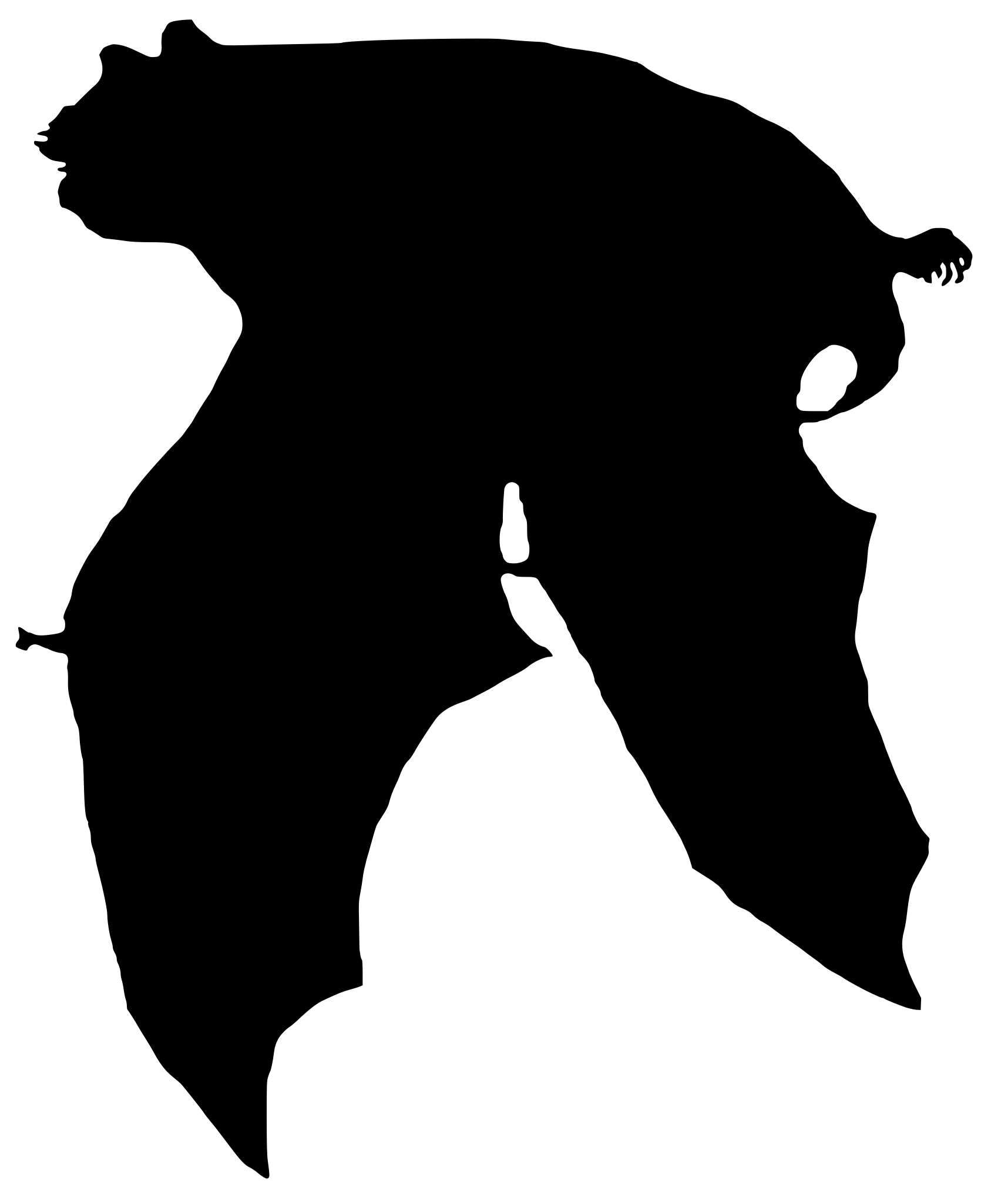
Occurrence data from iNaturalist and GBIF.

More mammals in California in the atlas

Data & sources

The data and visualizations on this page draw on these open sources:

  • GBIFCC-BY 4.0occurrence records behind the range map, elevation, and record counts
  • iNaturalistCC0 / CC-BY / CC-BY-SAobservations, photos, and audio recordings
  • NatureServe ExplorerCC-BYthe state conservation rank
  • IUCN Red Listattributed factthe global conservation status
  • USGS NASpublic domainnative / introduced status
  • Natural Earthpublic domainthe relief basemap
  • USFSpublic domainnational-forest boundaries
  • USGS Protected Areas Databasepublic domainthe named parks, forests, and refuges behind "notable places to look"




