California mammals

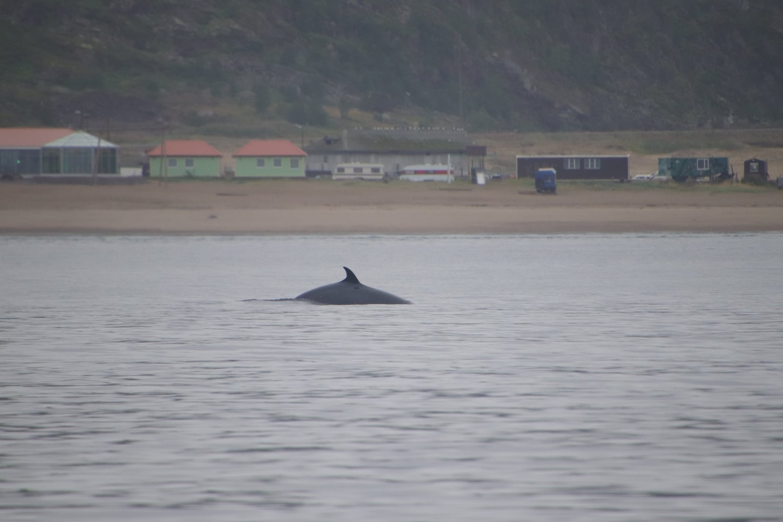
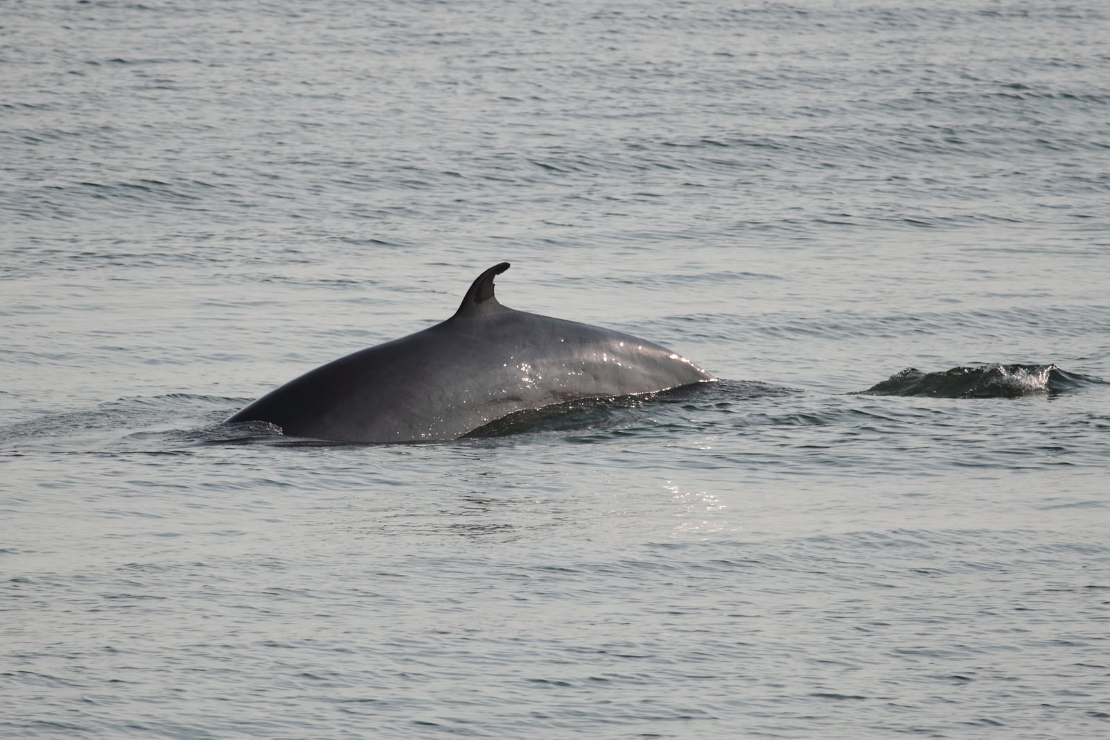
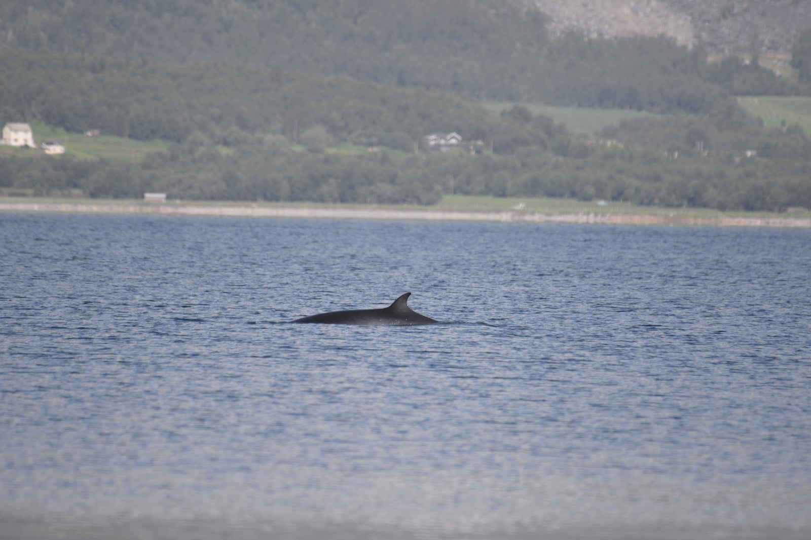
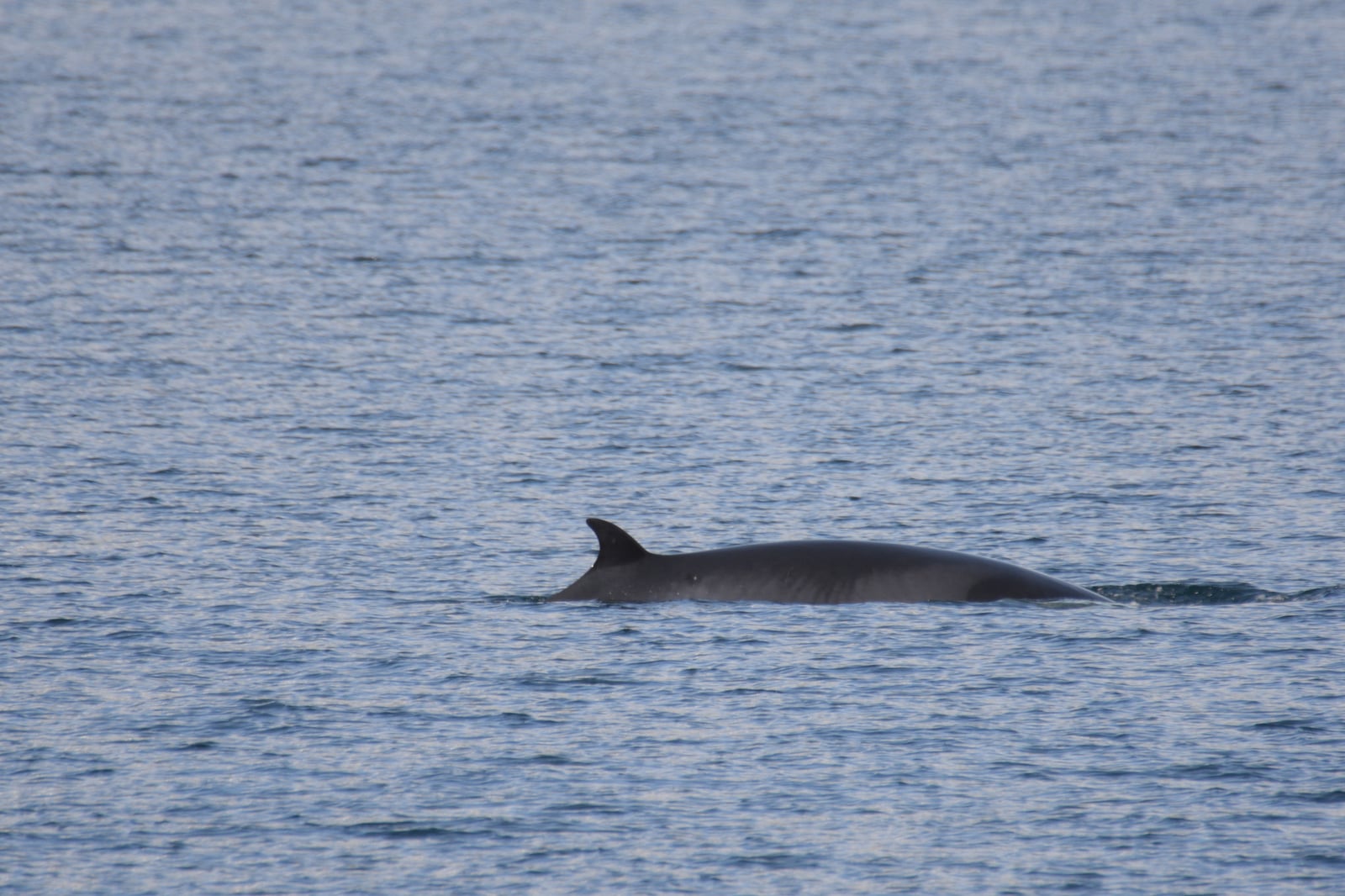
Minke Whale in California

Balaenoptera acutorostrata

Native to California SNR Unranked in California

Not listed as nonindigenous in California by USGS NAS; native to its California range.

IUCN Red List status

  1. LC
  2. NT
  3. VU
  4. EN
  5. CR
  6. EW
  7. EX

LC – Least Concern

Widespread and abundant; not at risk.

Minke Whale in California, by the numbers

Occasional in California 139th most recorded of 233 mammals logged in California

77 occurrence records
74 with iNaturalist photos

Records from 2000–2026.

When to look for the Minke Whale in California

Most sightings fall in April.

77 California occurrence records (iNaturalist and GBIF) by month of year, 2000–2026. Shows when the species is recorded, not a guarantee of presence.

Monthly California records (table)
MonthRecords
January1
February0
March2
April19
May6
June8
July15
August11
September9
October3
November2
December1

Monthly minke whale occurrence records (iNaturalist and GBIF) in California, 2000–2026.

Seasonality

Year-round in California, with recorded sightings peaking in April, with a smaller rise in July.

Occurrence map

Where Minke Whale has been recorded in California

77 records mapped · zoom and drag to explore

77 California records mapped

Notable places to look

Park, forest, or monumentiNaturalist records
Phillip Burton Wilderness Area 1
Salt Point State Park 1

Protected places with the most minke whale sightings, from the USGS Protected Areas Database plus named mountain ranges, good spots to look, not a full breakdown, so they don't sum to the total.

Where it's recorded in California

CountyRecords
Los Angeles County 15
Ventura County 3
Marin County 2
Alameda County 2
San Diego County 1
Mendocino County 1
Orange County 1
Other localities 52

The complete county distribution, spread across 7 California counties. Every occurrence record falls in one county, so these sum to the total. Counties from GBIF and US Census boundaries.

Minke Whale records belong offshore or along California’s Pacific coast, not in the state’s inland forests and deserts. Reports often follow the productive waters shaped by coastal upwelling, but they also reflect where boats and shore watchers spend time.

The deep Monterey Canyon, the continental shelf edge, and waters around the Channel Islands give observers access to very different marine habitats. Sightings don’t measure offshore population size, because effort concentrates near ports, whale-watching routes, and visible migration corridors.

The California record set combines 74 research-grade community observations with 54 museum and survey records. Monthly patterns can also reflect weather and observer activity, so they shouldn’t be treated as a direct count of animals.
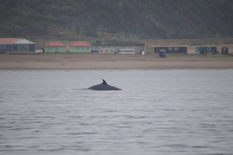
Occurrence data from iNaturalist and GBIF.

More mammals in California in the atlas

Data & sources

The data and visualizations on this page draw on these open sources:

  • GBIFCC-BY 4.0occurrence records behind the range map, elevation, and record counts
  • iNaturalistCC0 / CC-BY / CC-BY-SAobservations, photos, and audio recordings
  • NatureServe ExplorerCC-BYthe state conservation rank
  • IUCN Red Listattributed factthe global conservation status
  • USGS NASpublic domainnative / introduced status
  • Natural Earthpublic domainthe relief basemap
  • USFSpublic domainnational-forest boundaries
  • USGS Protected Areas Databasepublic domainthe named parks, forests, and refuges behind "notable places to look"