Montana mammals

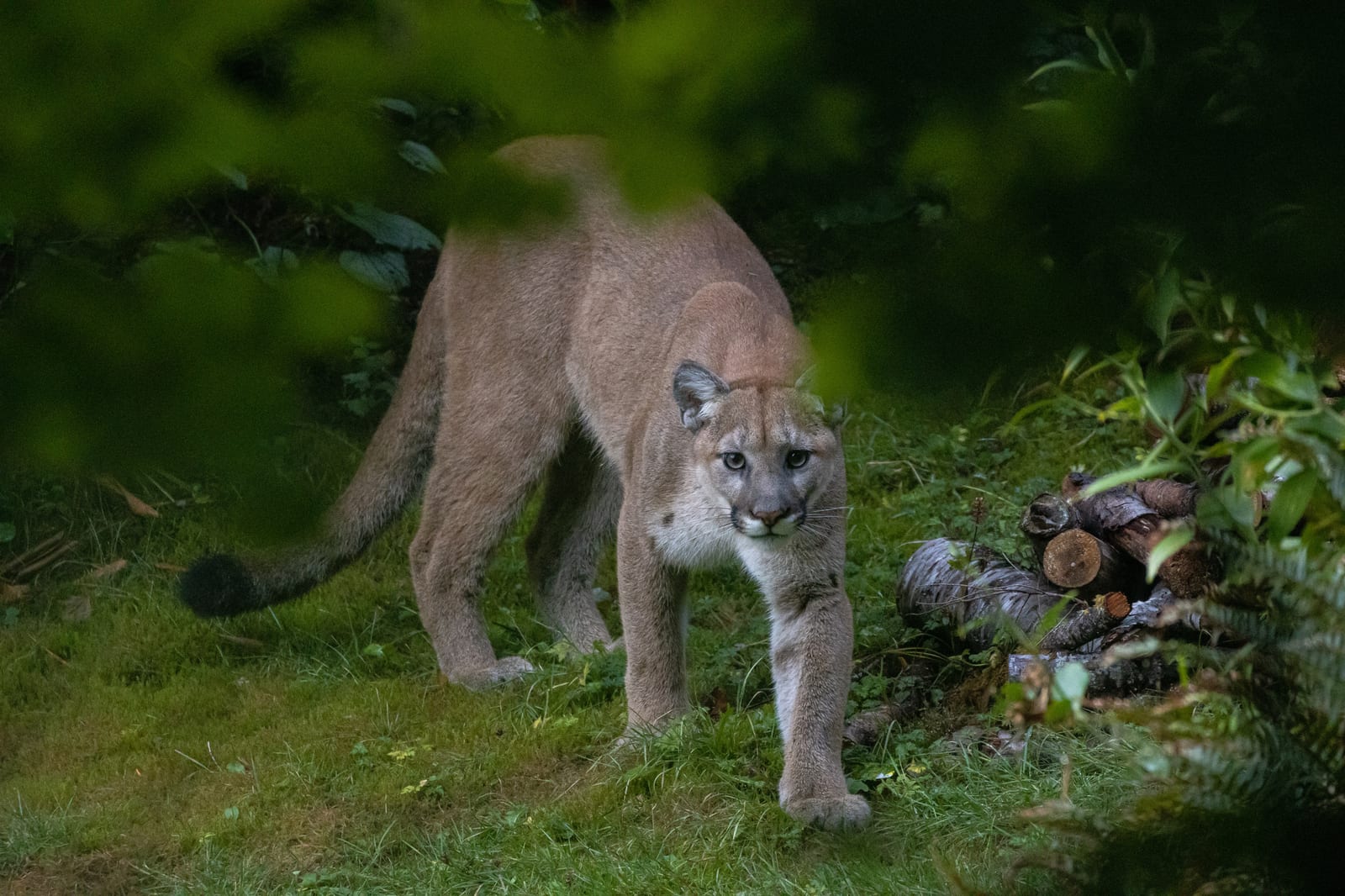
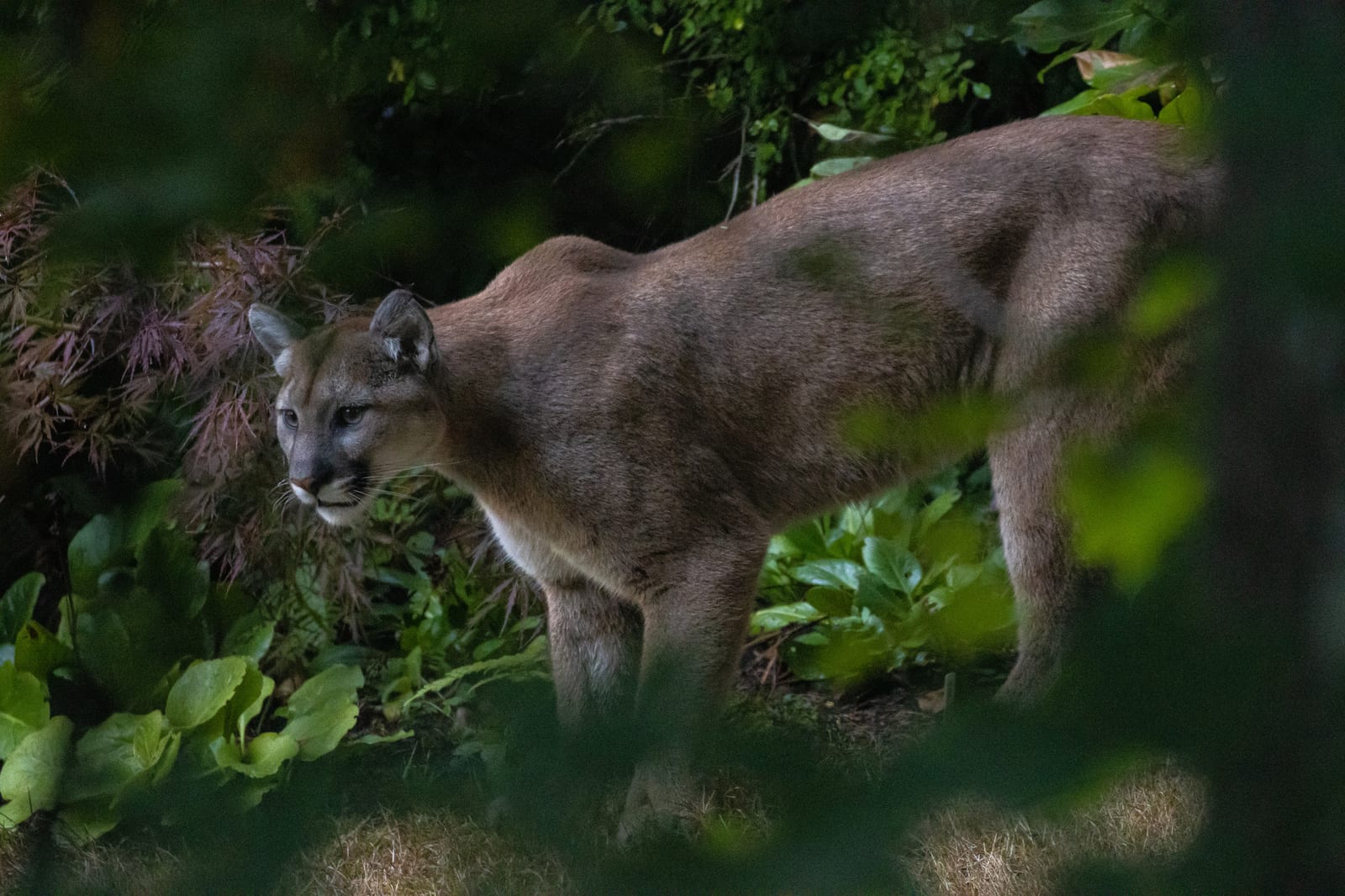
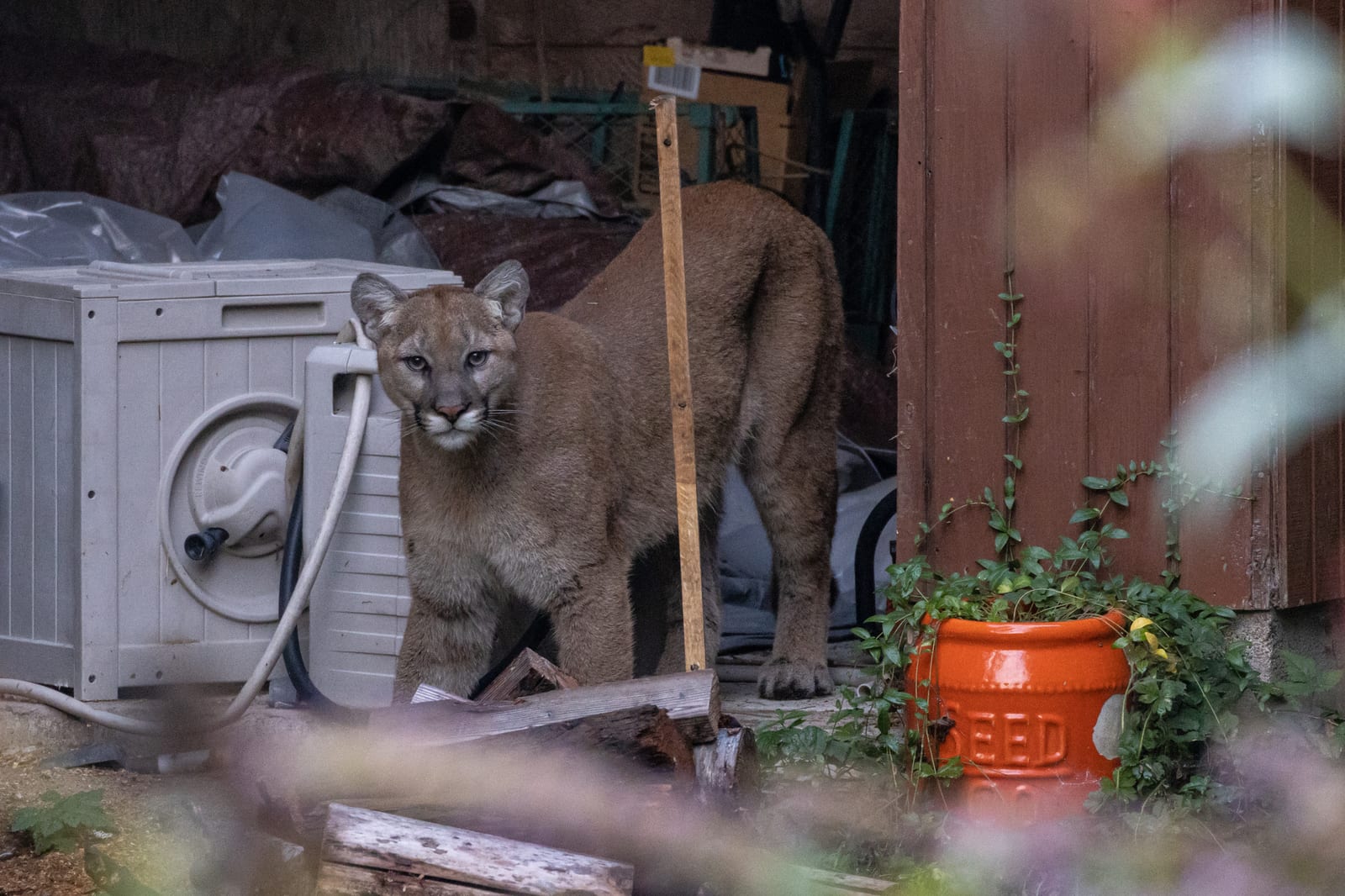
Mountain Lion in Montana

Puma concolor

Native to Montana S5 Secure in Montana

Not listed as nonindigenous in Montana by USGS NAS; native to its Montana range.

IUCN Red List status

  1. LC
  2. NT
  3. VU
  4. EN
  5. CR
  6. EW
  7. EX

LC – Least Concern

Widespread and abundant; not at risk.

Mountain Lion in Montana, by the numbers

Common in Montana 31st most recorded of 122 mammals logged in Montana

185 occurrence records
162 with iNaturalist photos

Records from 2000–2026.

185 total records count every Montana occurrence from GBIF and iNaturalist; the map plots a georeferenced sample of 174; the monthly chart covers the 174 records with a full observation date.

Field encounter

Where and when you're most likely to encounter a Mountain Lion

Most active: Montana, in September.

Where
MontanaMT
When
September

Observe from a distance and give it room. Never approach, corner, or feed one.

When to be most aware of the Mountain Lion in Montana

Most sightings fall in September.

174 Montana occurrence records (iNaturalist and GBIF) by month of year, 2000–2026. Shows when the species is recorded, not a guarantee of presence.

Monthly Montana records (table)
MonthRecords
January23
February11
March17
April9
May10
June8
July7
August8
September43
October6
November18
December14

Monthly mountain lion occurrence records (iNaturalist and GBIF) in Montana, 2000–2026.

Seasonality

Year-round in Montana, with recorded sightings peaking in September.

Occurrence map

Where Mountain Lion has been recorded in Montana

174 records mapped · zoom and drag to explore

174 Montana records mapped

Where mountain lion encounters are recorded

Park, forest, or monumentiNaturalist records
Glacier National Park 7
Yellowstone National Park 4
Gallatin National Forest 3
Flathead National Forest 3
Lolo National Forest 2
Montana State Trust Lands 2
Bob Marshall Wilderness 1
Selway-Bitterroot Wilderness 1

Protected places with the most mountain lion records, from the USGS Protected Areas Database plus named mountain ranges, where encounters are most often recorded, not a full breakdown, so they don't sum to the total. Keep your distance and never approach one.

Where it's recorded in Montana

CountyRecords
Flathead County 56
Missoula County 33
Sanders County 14
Lake County 12
Park County 11
Gallatin County 8
Fergus County 7
Ravalli County 5
Lincoln County 5
Granite County 4
Lewis and Clark County 4
Teton County 3
9 other counties 23

The complete county distribution, spread across 21 Montana counties. Every occurrence record falls in one county, so these sum to the total. Counties from GBIF and US Census boundaries.

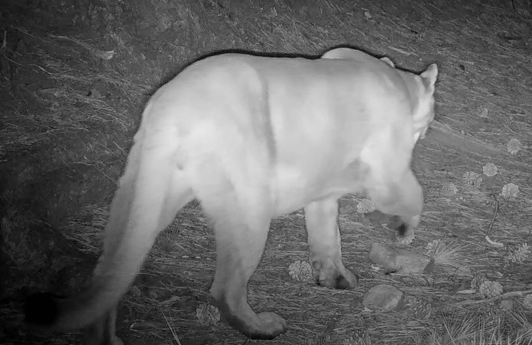
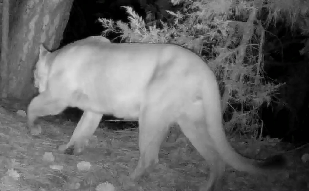
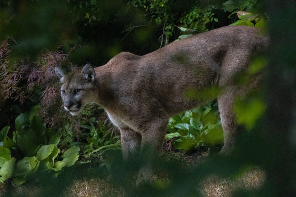
Mountain lions hold territories that can stretch over a hundred square miles, and Montana’s rugged mix of mountain and breaks country, Glacier National Park, the Upper Missouri River Breaks National Monument, and Custer-Gallatin National Forest, gives this solitary cat the elevation range and cover it needs to hunt deer and elk largely undetected.

Records spike sharply in September, more than four times the summer low, a pattern that likely tracks increased hunter and hiker traffic during archery and early rifle seasons more than any true change in lion movement, since this is a year-round resident rather than a seasonal visitor. NatureServe rates the species secure (S5) in Montana, and most confirmed sightings still come from tracks, kill sites, or trail cameras rather than a direct encounter with an animal built to avoid exactly that.
Occurrence data from iNaturalist and GBIF.

Mountain Lion in other states

Mountain Lion range map (all states)

More mammals in Montana in the atlas

Data & sources

The data and visualizations on this page draw on these open sources:

  • GBIFCC-BY 4.0occurrence records behind the range map, elevation, and record counts
  • iNaturalistCC0 / CC-BY / CC-BY-SAobservations, photos, and audio recordings
  • NatureServe ExplorerCC-BYthe state conservation rank
  • IUCN Red Listattributed factthe global conservation status
  • USGS NASpublic domainnative / introduced status
  • Natural Earthpublic domainthe relief basemap
  • USFSpublic domainnational-forest boundaries
  • USGS Protected Areas Databasepublic domainthe named parks, forests, and refuges behind "notable places to look"