
Oklahoma mammals

North American Porcupine in Oklahoma

Erethizon dorsatus

Native to Oklahoma

Not listed as nonindigenous in Oklahoma by USGS NAS; treated as native to its mapped Oklahoma range.

IUCN Red List status

  1. LC
  2. NT
  3. VU
  4. EN
  5. CR
  6. EW
  7. EX

LC – Least Concern

Widespread and abundant; not at risk.

North American Porcupine in Oklahoma, by the numbers

Occasional in Oklahoma 42nd most recorded of 120 mammals logged in Oklahoma

141 occurrence records
125 with iNaturalist photos
Jun 23, 2026 Last seen in Oklahoma

Records from 2000–2026.

141 total records count every Oklahoma occurrence from GBIF and iNaturalist; the map plots a georeferenced sample of 140; the monthly chart covers the 140 records with a full observation date.

When to look for the North American Porcupine in Oklahoma

Most sightings fall in July to November.

140 Oklahoma occurrence records (iNaturalist and GBIF) by month of year, 2000–2026. Shows when the species is recorded, not a guarantee of presence.

Monthly Oklahoma records (table)
MonthRecords
January11
February14
March13
April7
May13
June9
July11
August12
September13
October12
November17
December8

Monthly north american porcupine occurrence records (iNaturalist and GBIF) in Oklahoma, 2000–2026.

Seasonality

Year-round in Oklahoma, with recorded sightings peaking in July–November, with a smaller rise in January–March and May.

Occurrence map

Where North American Porcupine has been recorded in Oklahoma

140 records mapped · zoom and drag to explore

140 Oklahoma records mapped

Notable places to look

Park, forest, or monumentiNaturalist records
CLO Lands 2

Protected places with the most north american porcupine sightings, from the USGS Protected Areas Database plus named mountain ranges, good spots to look, not a full breakdown, so they don't sum to the total.

Where it's recorded in Oklahoma

CountyRecords
Woodward County 22
Comanche County 18
Roger Mills County 13
Ellis County 10
Blaine County 6
Jackson County 6
Kiowa County 6
Caddo County 6
Woods County 5
Dewey County 5
Cimarron County 5
Beckham County 4
17 other counties 35

The complete county distribution, spread across 29 Oklahoma counties. Every occurrence record falls in one county, so these sum to the total. Counties from GBIF and US Census boundaries.

Oklahoma’s porcupine record belongs almost entirely to the state’s western half. Of 141 records, the heaviest concentrations sit in Woodward, Comanche, Roger Mills, and Ellis counties, and the map thins quickly toward the wooded east, marking this quill-covered rodent as an animal of the dry, open side of the state.

A bark-eater built around its quills

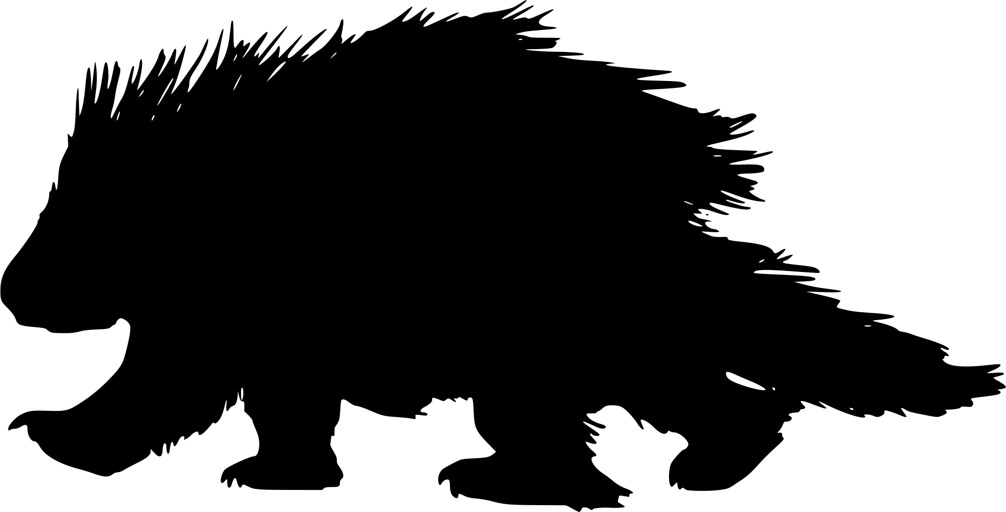
The porcupine is North America’s second-largest rodent, after the beaver, and its coat of some 30,000 quills lets a slow, deliberate animal feed where quicker ones would be hunted hard. It cannot throw its quills, but it does not need to; most predators learn from a single encounter. In Oklahoma that armor shows up in rough, broken country, from the canyon rims of Black Mesa State Park in the Panhandle to Quartz Mountain’s granite slopes and the sandhill country around Packsaddle Wildlife Management Area.

Active all year, rarely hurried

Porcupines do not hibernate. Through winter they shelter in rock piles, hollow trees, and dense cover, emerging to strip bark and buds even in cold weather, and Oklahoma’s steady year-round counts fit an animal that simply keeps feeding in every month. Most of its activity comes after dark, so a porcupine resting in a tree by day is often the best look an observer gets.

Status in Oklahoma

The porcupine has no NatureServe state rank on file in Oklahoma, but it is treated as native to its mapped range here, and USGS NAS does not list it as nonindigenous in the state. It is not specifically listed under Oklahoma’s conservation framework, and the IUCN ranks the species Least Concern globally.
Occurrence data from iNaturalist and GBIF.

North American Porcupine in other states

View all states →

More mammals in Oklahoma in the atlas

Data & sources

The data and visualizations on this page draw on these open sources:

  • GBIFCC-BY 4.0occurrence records behind the range map, elevation, and record counts
  • iNaturalistCC0 / CC-BY / CC-BY-SAobservations, photos, and audio recordings
  • IUCN Red Listattributed factthe global conservation status
  • USGS NASpublic domainnative / introduced status
  • Natural Earthpublic domainthe relief basemap
  • USFSpublic domainnational-forest boundaries
  • USGS Protected Areas Databasepublic domainthe named parks, forests, and refuges behind "notable places to look"




