Montana mammals

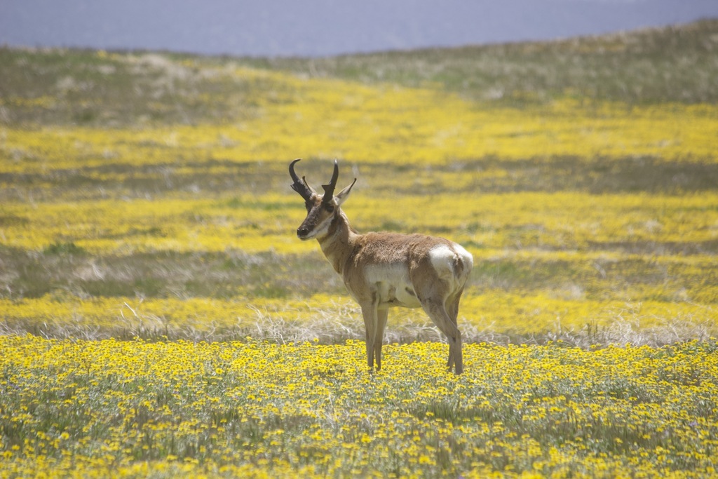
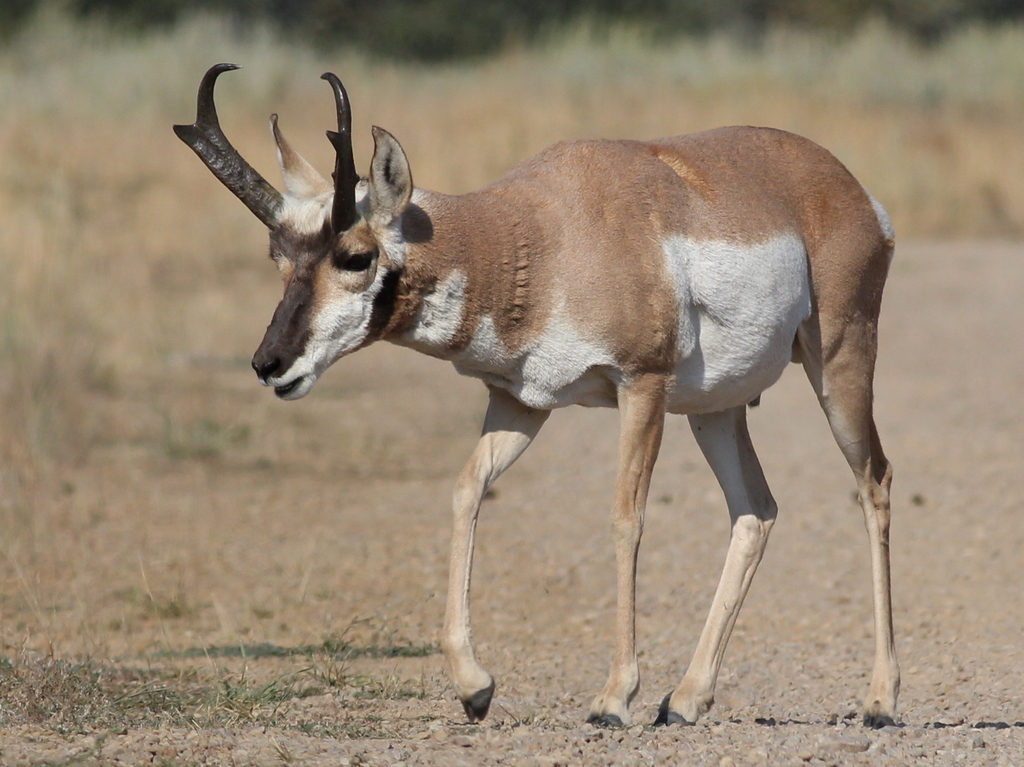
Pronghorn in Montana

Antilocapra americana

Native to Montana S5 Secure in Montana

Not listed as nonindigenous in Montana by USGS NAS; native to its Montana range.

IUCN Red List status

  1. LC
  2. NT
  3. VU
  4. EN
  5. CR
  6. EW
  7. EX

LC – Least Concern

Widespread and abundant; not at risk.

Pronghorn in Montana, by the numbers

Common in Montana 7th most recorded of 122 mammals logged in Montana

1,657 occurrence records
1,656 with iNaturalist photos

Records from 2000–2026.

1,657 total records count every Montana occurrence from GBIF and iNaturalist; the map plots a georeferenced sample of 300; the monthly chart covers the 1,593 records with a full observation date.

When to look for the Pronghorn in Montana

Most sightings fall in May to September.

1,593 Montana occurrence records (iNaturalist and GBIF) by month of year, 2000–2026. Shows when the species is recorded, not a guarantee of presence.

Monthly Montana records (table)
MonthRecords
January30
February38
March41
April70
May225
June276
July229
August221
September324
October73
November45
December21

Monthly pronghorn occurrence records (iNaturalist and GBIF) in Montana, 2000–2026.

Seasonality

Year-round in Montana, with recorded sightings peaking in May–September.

Occurrence map

Where Pronghorn has been recorded in Montana

300 records mapped · zoom and drag to explore

300 Montana records mapped

Notable places to look

Park, forest, or monumentiNaturalist records
Yellowstone National Park 345
Red Rock Lakes National Wildlife Refuge_Wilderness Area 50
Montana State Trust Lands 37
Gallatin National Forest 33
First Peoples Buffalo Jump State Park 5
Medicine Rocks State Park 2
Little Bighorn Battlefield National Monument 2
Big Lake 3 1

Protected places with the most pronghorn sightings, from the USGS Protected Areas Database plus named mountain ranges, good spots to look, not a full breakdown, so they don't sum to the total.

Where it's recorded in Montana

CountyRecords
Park County 460
Beaverhead County 282
Lake County 125
Madison County 75
Phillips County 51
Sanders County 43
Carter County 43
Cascade County 41
Fergus County 38
Wheatland County 34
Gallatin County 30
Valley County 27
40 other counties 408

The complete county distribution, spread across 52 Montana counties. Every occurrence record falls in one county, so these sum to the total. Counties from GBIF and US Census boundaries.

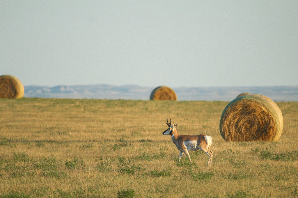
Pronghorn belong to Montana’s wide-open country, and the 1,657 records show it, concentrated in the broad valleys and sagebrush plains of Park, Beaverhead, and Madison counties. Yellowstone National Park holds the largest single cluster, with Red Rock Lakes National Wildlife Refuge and surrounding state trust lands adding strong tallies.

Built for speed on open ground

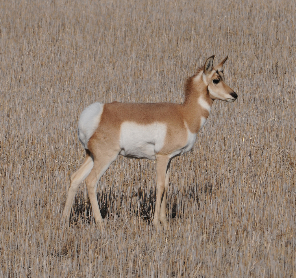
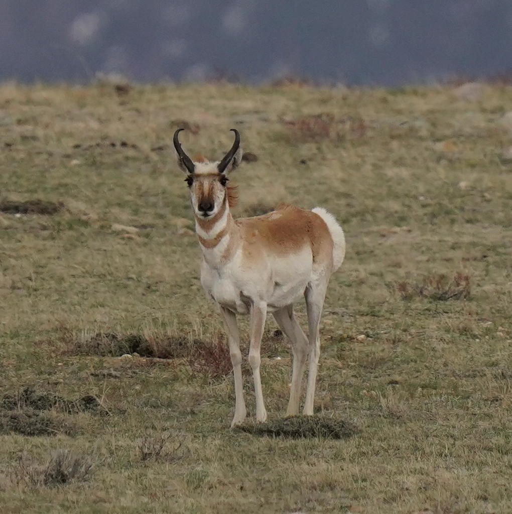
The pronghorn is the fastest land animal in North America, able to hold 40 miles an hour for minutes at a stretch, and its oversized eyes pick up movement at distances no stalking predator could cross unseen. Everything about it assumes open ground, which is why it favors grassland and sagebrush flats and struggles where fences or deep snow block its path. It rarely jumps fences at all, preferring to slip under them, a trait that shapes where herds can travel.

Two pulses in the year

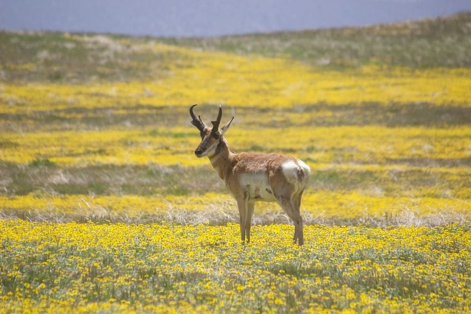
Records pulse twice, first in May and June when does drop their fawns on the open range, then again in August and September as the rut brings bucks into the open to gather and defend harems. Montana herds shift seasonally between summer and winter range, and the September crest, the highest month of the year, matches the height of that autumn movement.

Status in Montana

NatureServe ranks the pronghorn S5, Secure, in Montana, and the species is native to the state. USGS NAS does not list it as nonindigenous here.
Occurrence data from iNaturalist and GBIF.

Pronghorn in other states

Pronghorn range map (all states)

More mammals in Montana in the atlas

Data & sources

The data and visualizations on this page draw on these open sources:

  • GBIFCC-BY 4.0occurrence records behind the range map, elevation, and record counts
  • iNaturalistCC0 / CC-BY / CC-BY-SAobservations, photos, and audio recordings
  • NatureServe ExplorerCC-BYthe state conservation rank
  • IUCN Red Listattributed factthe global conservation status
  • USGS NASpublic domainnative / introduced status
  • Natural Earthpublic domainthe relief basemap
  • USFSpublic domainnational-forest boundaries
  • USGS Protected Areas Databasepublic domainthe named parks, forests, and refuges behind "notable places to look"