
North Dakota mammals

Pronghorn in North Dakota

Antilocapra americana

Native to North Dakota SNR Unranked in North Dakota

Not listed as nonindigenous in North Dakota by USGS NAS; native to its North Dakota range.

IUCN Red List status

  1. LC
  2. NT
  3. VU
  4. EN
  5. CR
  6. EW
  7. EX

LC – Least Concern

Widespread and abundant; not at risk.

Pronghorn in North Dakota, by the numbers

Common in North Dakota 11th most recorded of 92 mammals logged in North Dakota

284 occurrence records
282 with iNaturalist photos
Jul 9, 2026 Last seen in North Dakota

Records from 2000–2026.

284 total records count every North Dakota occurrence from GBIF and iNaturalist; the monthly chart covers the 283 records with a full observation date.

When to look for the Pronghorn in North Dakota

Most sightings fall in May to June.

283 North Dakota occurrence records (iNaturalist and GBIF) by month of year, 2000–2026. Shows when the species is recorded, not a guarantee of presence.

Monthly North Dakota records (table)
MonthRecords
January3
February2
March6
April32
May51
June75
July43
August26
September25
October9
November8
December3

Monthly pronghorn occurrence records (iNaturalist and GBIF) in North Dakota, 2000–2026.

Seasonality

Year-round in North Dakota, with recorded sightings peaking in May–June.

Occurrence map

Where Pronghorn has been recorded in North Dakota

284 records mapped · zoom and drag to explore

284 North Dakota records mapped

Notable places to look

Park, forest, or monumentiNaturalist records
Theodore Roosevelt National Park 69
Little Missouri National Grassland 11
Nd State Lands - Surface Ownership 6
Fort Abraham Lincoln State Park 1
Lake Sakakawea State Park 1

Protected places with the most pronghorn sightings, from the USGS Protected Areas Database plus named mountain ranges, good spots to look, not a full breakdown, so they don't sum to the total.

Where it's recorded in North Dakota

CountyRecords
Billings County 120
Bowman County 22
Mercer County 20
McKenzie County 18
Morton County 17
Golden Valley County 13
Slope County 12
McLean County 12
Stark County 12
Hettinger County 5
Dunn County 5
Oliver County 5
12 other counties 23

The complete county distribution, spread across 24 North Dakota counties. Every occurrence record falls in one county, so these sum to the total. Counties from GBIF and US Census boundaries.

Pronghorn appear in 284 North Dakota records, and the map leans hard into the southwest, with Billings County holding 120 and Bowman, Mercer, and McKenzie carrying most of the rest. Theodore Roosevelt National Park and the Little Missouri National Grassland frame the core of a range that stops well short of the state’s eastern half.

Made for wide-open ground

The pronghorn is the fastest land animal in North America, built to outrun predators across treeless prairie with long legs, oversized windpipe and lungs, and eyes set to scan enormous distances. Nothing about the animal works in cover, so it lives where sight lines run for miles, on the rolling uplands and sage flats of the Little Missouri country. In late May and June does drop their fawns out on that open range, and the young are up and running within days, since stillness and speed are their only defenses.

A herd that bunches with the seasons

Present all year, pronghorn shift with the calendar. Bands scatter across spring range as the snow leaves, and North Dakota’s reports climb from April through July while fawns join the herds and animals stand out on green flats. Come winter the bands gather into larger groups on windswept ground where the snow lies thin, riding out storms that would bury lesser travelers.

Status in North Dakota

NatureServe has not assigned the pronghorn a state rank in North Dakota, listing it as SNR, Unranked. The species is native to the state, and USGS NAS does not list it as nonindigenous here.
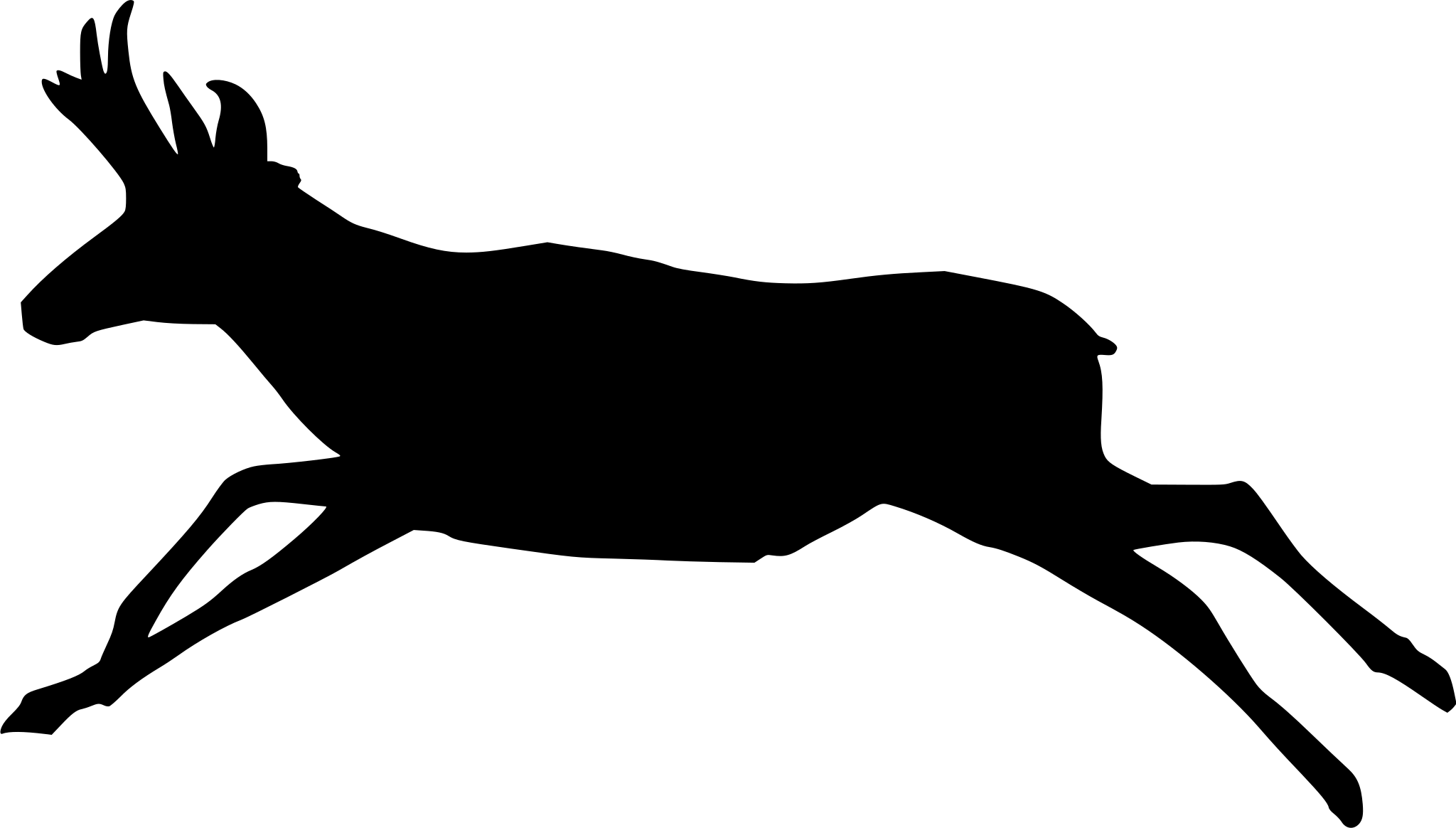
Occurrence data from iNaturalist and GBIF.

Pronghorn in other states

View all states →

More mammals in North Dakota in the atlas

Data & sources

The data and visualizations on this page draw on these open sources:

  • GBIFCC-BY 4.0occurrence records behind the range map, elevation, and record counts
  • iNaturalistCC0 / CC-BY / CC-BY-SAobservations, photos, and audio recordings
  • NatureServe ExplorerCC-BYthe state conservation rank
  • IUCN Red Listattributed factthe global conservation status
  • USGS NASpublic domainnative / introduced status
  • Natural Earthpublic domainthe relief basemap
  • USFSpublic domainnational-forest boundaries
  • USGS Protected Areas Databasepublic domainthe named parks, forests, and refuges behind "notable places to look"




