Arizona mammals

Rock Squirrel in Arizona

Otospermophilus variegatus

Native to Arizona S5 Secure in Arizona

Not listed as nonindigenous in Arizona by USGS NAS; native to its Arizona range.

IUCN Red List status

  1. LC
  2. NT
  3. VU
  4. EN
  5. CR
  6. EW
  7. EX

LC – Least Concern

Widespread and abundant; not at risk.

Rock Squirrel in Arizona, by the numbers

Common in Arizona 3rd most recorded of 158 mammals logged in Arizona

8,128 occurrence records
8,105 with iNaturalist photos

Records from 2000–2026.

8,128 total records count every Arizona occurrence from GBIF and iNaturalist; the map plots a georeferenced sample of 300; the monthly chart covers the 7,687 records with a full observation date.

When to look for the Rock Squirrel in Arizona

Most sightings fall in March to September.

7,687 Arizona occurrence records (iNaturalist and GBIF) by month of year, 2000–2026. Shows when the species is recorded, not a guarantee of presence.

Monthly Arizona records (table)
MonthRecords
January234
February324
March837
April1,095
May1,038
June731
July810
August932
September667
October448
November321
December250

Monthly rock squirrel occurrence records (iNaturalist and GBIF) in Arizona, 2000–2026.

Seasonality

Year-round in Arizona, with recorded sightings peaking in March–September.

Occurrence map

Where Rock Squirrel has been recorded in Arizona

300 records mapped · zoom and drag to explore

300 Arizona records mapped

Notable places to look

Park, forest, or monumentiNaturalist records
Grand Canyon National Park 1,959
Coronado National Forest 284
Coconino National Forest 92
Saguaro National Park 88
State Trust Land 74
Patagonia Lake State Park 58
Pusch Ridge Wilderness 43
Montezuma Castle National Monument 37

Protected places with the most rock squirrel sightings, from the USGS Protected Areas Database plus named mountain ranges, good spots to look, not a full breakdown, so they don't sum to the total.

Where it's recorded in Arizona

CountyRecords
Coconino County 2,486
Maricopa County 1,690
Pima County 1,479
Cochise County 779
Santa Cruz County 632
Yavapai County 253
Pinal County 112
Gila County 87
Mohave County 79
Graham County 33
Navajo County 28
Apache County 20
3 other counties 450

The complete county distribution, spread across 15 Arizona counties. Every occurrence record falls in one county, so these sum to the total. Counties from GBIF and US Census boundaries.

Open occurrence databases hold 8,128 records of the rock squirrel in Arizona, one of the largest tallies for any mammal in the state and the mark of an abundant, conspicuous, easily photographed animal; 8,105 of those are iNaturalist observations.

A squirrel built for canyon country

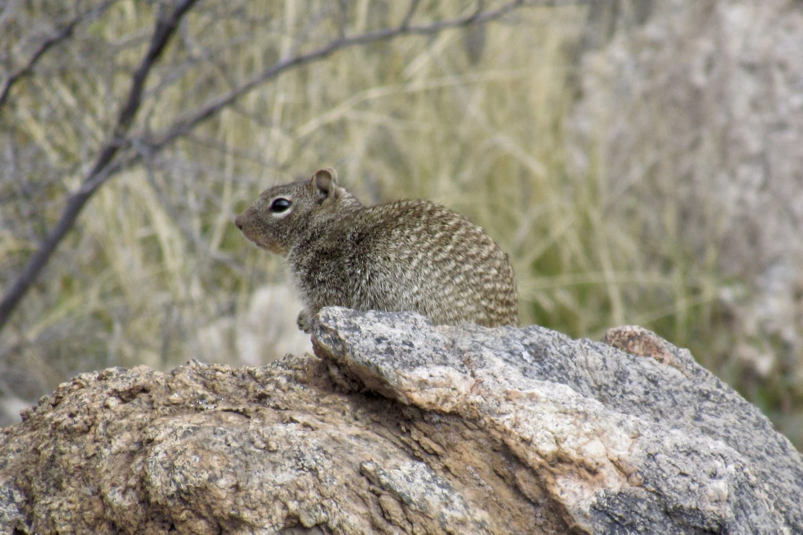
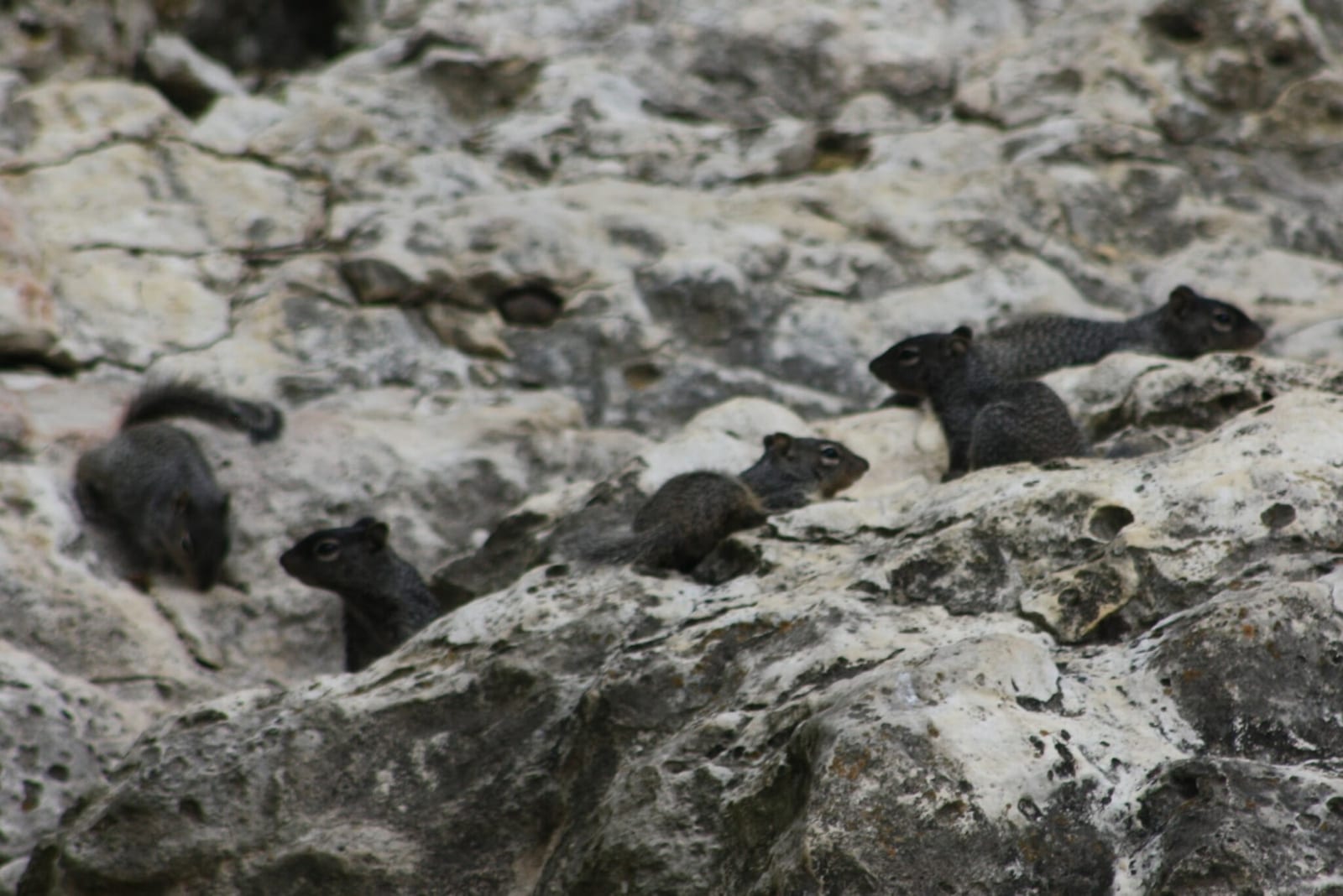
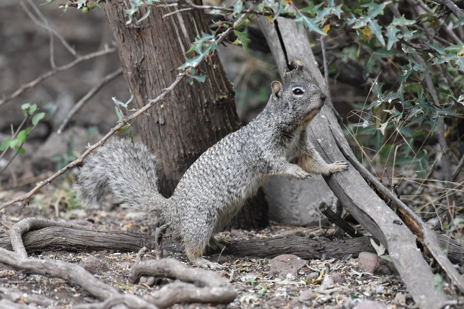
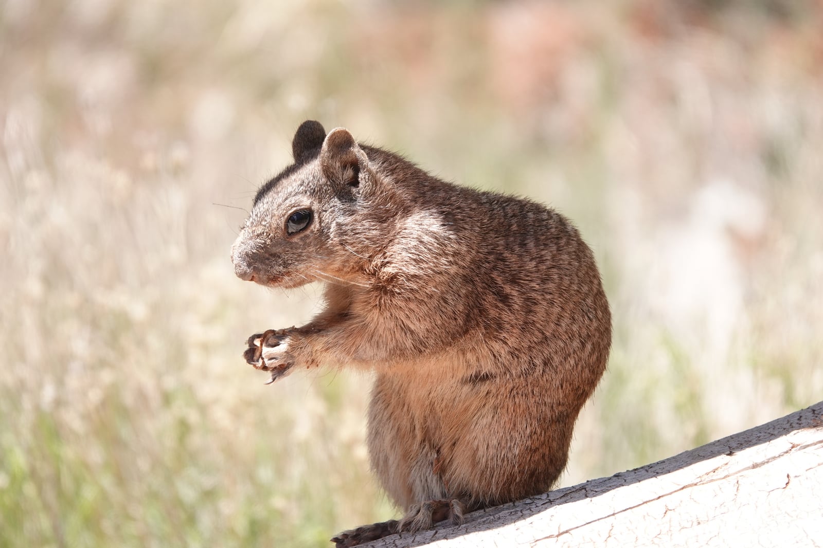
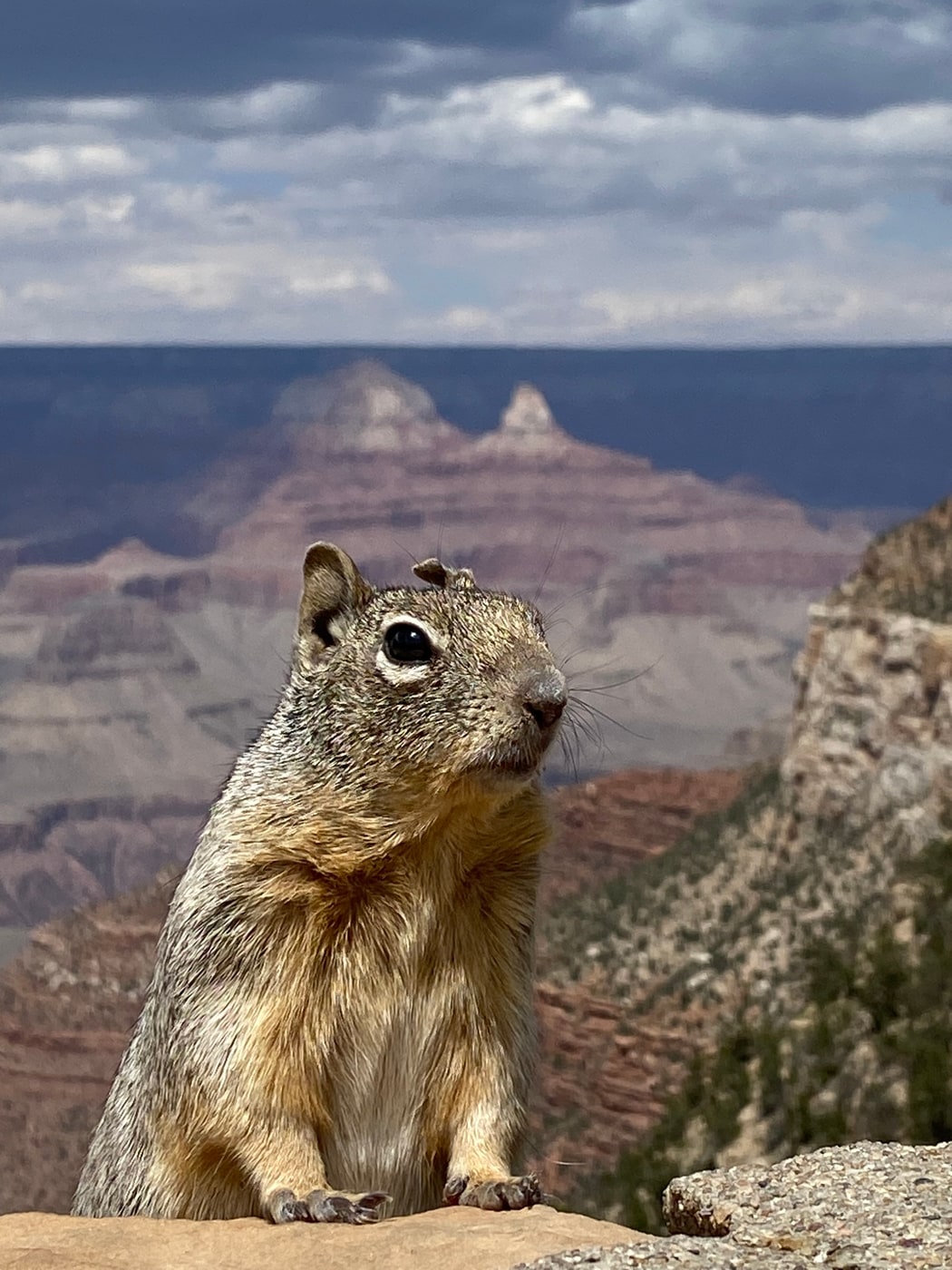
As the name promises, this is a ground squirrel of rock: boulder piles, canyon walls, road cuts, and dry washes across nearly every Arizona county. It dens in crevices and forages in the open by day, which makes it one of the most frequently encountered mammals on the state’s trails. The record map lights up statewide, with a heavy concentration at the Grand Canyon, where squirrels along the rims and corridor trails are photographed constantly, plus strong showings through the Coronado forests and the sky-island canyons of the southeast.

The rhythm of the year

Records build through spring, and the reason is behavioral rather than a change in numbers. Rock squirrels ease off in the coldest weeks and can go quiet again during the fiercest heat, so sightings swell as animals emerge to feed and breed in the milder months and taper when temperature extremes drive them underground. A diurnal squirrel out foraging is simply easier to catch on camera than one waiting out the weather in its burrow.

Secure and everywhere

NatureServe ranks the rock squirrel as secure in Arizona. It is native and uses habitats from desert saguaro stands to pine forest, but occurrence records alone don’t measure its population size.

Rock Squirrel in other states

More mammals in Arizona in the atlas

Data & sources

The data and visualizations on this page draw on these open sources:

  • GBIFCC-BY 4.0occurrence records behind the range map, elevation, and record counts
  • iNaturalistCC0 / CC-BY / CC-BY-SAobservations, photos, and audio recordings
  • NatureServe ExplorerCC-BYthe state conservation rank
  • IUCN Red Listattributed factthe global conservation status
  • USGS NASpublic domainnative / introduced status
  • Natural Earthpublic domainthe relief basemap
  • USFSpublic domainnational-forest boundaries
  • USGS Protected Areas Databasepublic domainthe named parks, forests, and refuges behind "notable places to look"