
Alaska mammals

Tundra Shrew in Alaska

Sorex tundrensis

Native to Alaska S5 Secure in Alaska

Not listed as nonindigenous in Alaska by USGS NAS; native to its Alaska range.

IUCN Red List status

  1. LC
  2. NT
  3. VU
  4. EN
  5. CR
  6. EW
  7. EX

LC – Least Concern

Widespread and abundant; not at risk.

Tundra Shrew in Alaska, by the numbers

Common in Alaska 36th most recorded of 108 mammals logged in Alaska

591 occurrence records
6 with iNaturalist photos
Jan 14, 2023 Last seen in Alaska

Records from 2000–2026.

591 total records count every Alaska occurrence from GBIF and iNaturalist; the map plots a georeferenced sample of 300; the monthly chart covers the 589 records with a full observation date.

When to look for the Tundra Shrew in Alaska

Most sightings fall in July to August.

589 Alaska occurrence records (iNaturalist and GBIF) by month of year, 2000–2026. Shows when the species is recorded, not a guarantee of presence.

Monthly Alaska records (table)
MonthRecords
January1
February4
March1
April0
May0
June17
July254
August291
September20
October0
November1
December0

Monthly tundra shrew occurrence records (iNaturalist and GBIF) in Alaska, 2000–2026.

Seasonality

Year-round in Alaska, with recorded sightings peaking in July–August.

Occurrence map

Where Tundra Shrew has been recorded in Alaska

300 records mapped · zoom and drag to explore

300 Alaska records mapped

Notable places to look

Park, forest, or monumentiNaturalist records
Yukon-Charley Rivers National Preserve 50
State Tentatively Approved (tad) 41
Gates of the Arctic National Park 40
State Land Disposals - Other Than Municipal 39
Kobuk Valley National Park 36
Denali National Park 35
Katmai National Park 27
Bering Land Bridge National Preserve 19

Protected places with the most tundra shrew sightings, from the USGS Protected Areas Database plus named mountain ranges, good spots to look, not a full breakdown, so they don't sum to the total.

Where it's recorded in Alaska

CountyRecords
Southeast Fairbanks County 101
Denali County 95
Nome County 89
Northwest Arctic County 86
Yukon-Koyukuk County 54
Lake and Peninsula County 53
North Slope County 34
Anchorage County 24
Fairbanks North Star County 14
Wade Hampton County 13
Matanuska-Susitna County 5
Valdez-Cordova County 5
4 other counties 18

The complete county distribution, spread across 16 Alaska counties. Every occurrence record falls in one county, so these sum to the total. Counties from GBIF and US Census boundaries.

Records of the tundra shrew in Alaska stretch from the Matanuska-Susitna Valley in Southcentral all the way to Arctic National Wildlife Refuge and the North Slope, a spread that mirrors the open tundra, wet sedge meadow, and damp shrubby ground along rivers and coastline this shrew depends on statewide.

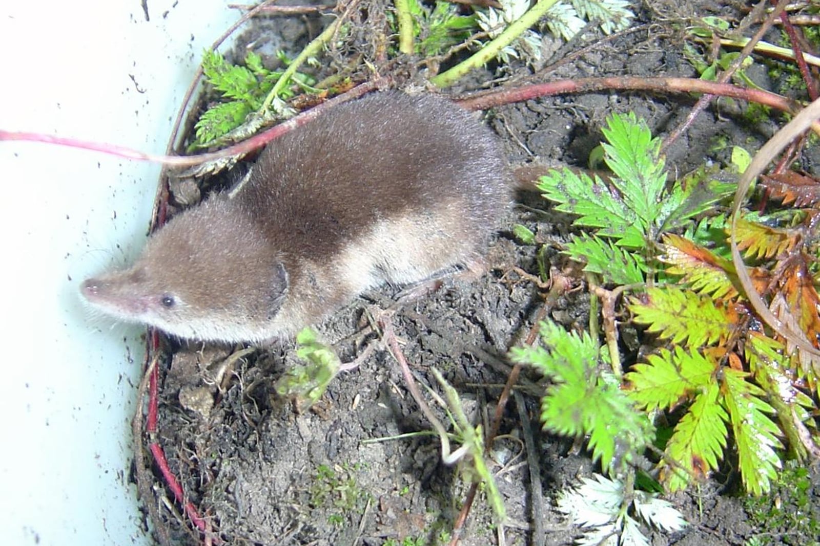
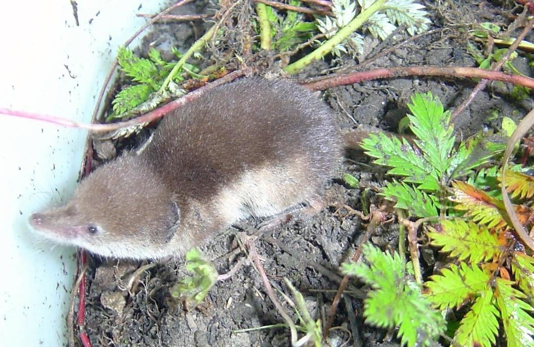
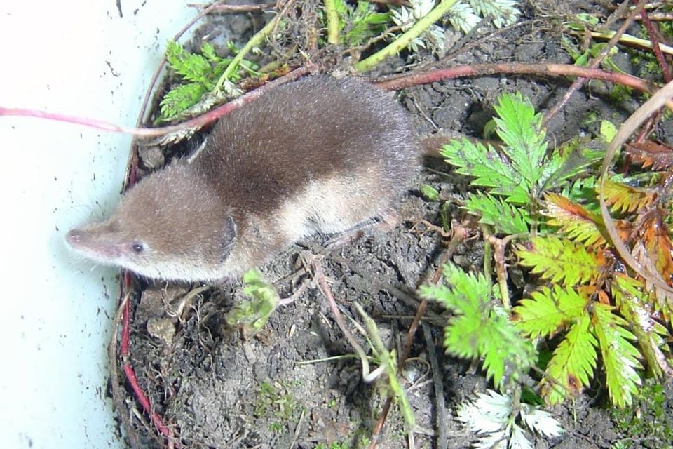
A sharp line divides its dark brown back from a pale belly, one of the clearest field marks among Alaska’s small shrews. It doesn’t need forest litter or downed logs the way some relatives do; moist ground and a steady supply of insects and worms are enough, with grasses filling in when animal prey runs short. Females can raise close to two litters a year, but few individuals survive beyond a single Alaska winter.

Reports concentrate heavily in July and August, the brief stretch when the Arctic summer peaks and field crews are most likely to be out working tundra and wet-meadow habitat. Alaska’s tundra shrew records are unusually deep and consistent for such a small, secretive animal, spanning a broad sweep of the state rather than a handful of scattered specimens.
Occurrence data from iNaturalist and GBIF.

More mammals in Alaska in the atlas

Data & sources

The data and visualizations on this page draw on these open sources:

  • GBIFCC-BY 4.0occurrence records behind the range map, elevation, and record counts
  • iNaturalistCC0 / CC-BY / CC-BY-SAobservations, photos, and audio recordings
  • NatureServe ExplorerCC-BYthe state conservation rank
  • IUCN Red Listattributed factthe global conservation status
  • USGS NASpublic domainnative / introduced status
  • Natural Earthpublic domainthe relief basemap
  • USFSpublic domainnational-forest boundaries
  • USGS Protected Areas Databasepublic domainthe named parks, forests, and refuges behind "notable places to look"




