
Washington mammals

White-tailed Jackrabbit in Washington

Lepus townsendii

Native to Washington S2 Imperiled in Washington

Not listed as nonindigenous in Washington by USGS NAS; native to its Washington range.

IUCN Red List status

  1. LC
  2. NT
  3. VU
  4. EN
  5. CR
  6. EW
  7. EX

LC – Least Concern

Widespread and abundant; not at risk.

White-tailed Jackrabbit in Washington, by the numbers

Rare in Washington 125th most recorded of 145 mammals logged in Washington

53 occurrence records
5 with iNaturalist photos
Apr 11, 2026 Last seen in Washington

Records from 2000–2026.

53 total records count every Washington occurrence from GBIF and iNaturalist; the map plots a georeferenced sample of 50; the monthly chart covers the 50 records with a full observation date.

When to look for the White-tailed Jackrabbit in Washington

Most sightings fall in February to April.

50 Washington occurrence records (iNaturalist and GBIF) by month of year, 2000–2026. Shows when the species is recorded, not a guarantee of presence.

Monthly Washington records (table)
MonthRecords
January4
February7
March5
April7
May4
June6
July4
August0
September2
October4
November1
December6

Monthly white-tailed jackrabbit occurrence records (iNaturalist and GBIF) in Washington, 2000–2026.

Seasonality

Year-round in Washington, with recorded sightings peaking in February–April, with a smaller rise in December and June.

Occurrence map

Where White-tailed Jackrabbit has been recorded in Washington

50 records mapped · zoom and drag to explore

50 Washington records mapped

Notable places to look

Park, forest, or monumentiNaturalist records
Colockum Wildlife Area Complex 1

Protected places with the most white-tailed jackrabbit sightings, from the USGS Protected Areas Database plus named mountain ranges, good spots to look, not a full breakdown, so they don't sum to the total.

Where it's recorded in Washington

CountyRecords
Benton County 11
Douglas County 7
Whitman County 7
Walla Walla County 6
Adams County 5
Okanogan County 3
Garfield County 3
Kittitas County 2
Lincoln County 2
Grant County 1
Klickitat County 1
Columbia County 1
Franklin County 1
Other localities 3

The complete county distribution, spread across 13 Washington counties. Every occurrence record falls in one county, so these sum to the total. Counties from GBIF and US Census boundaries.

Washington’s 53 white-tailed jackrabbit records all sit east of the Cascades, most of them in the shrub-steppe and wheat country of Benton, Douglas, and Whitman counties, with named search areas at Hanford Reach National Monument and Columbia National Wildlife Refuge. This is the state’s largest hare and the one most tied to open ground.

Built for open country

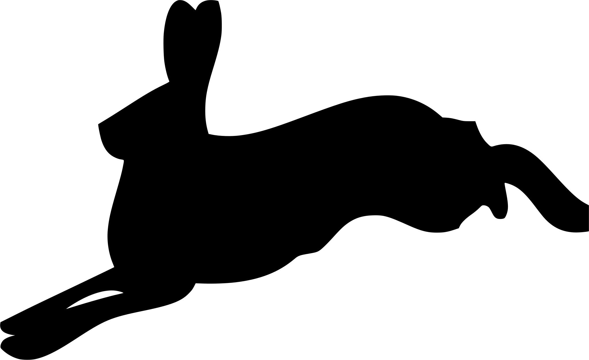
A white-tailed jackrabbit can cover twenty feet in a bounding stride and outrun nearly anything chasing it, so it has little use for thickets. It rests by day in a shallow form scraped in the dirt and feeds by night on grasses and forbs, shifting to bark and shrub twigs when snow covers the green growth. In the cold months its coat molts from gray-brown to white, matching the open ground it cannot hide from.

On the ground in every season

Jackrabbits neither hibernate nor migrate, and Washington’s records reflect that, appearing in nearly every month with no sharp seasonal spike. Leverets are born fully furred with open eyes and are moving within hours, a strategy that suits an animal with no burrow to retreat to.

Status in Washington

NatureServe ranks the white-tailed jackrabbit S2, Imperiled, in Washington even though the species is G5, Secure, across its full range. It is native to the state’s shrub-steppe, and the contrast tells the real story: the hare is widespread across the West, but Washington holds a range-edge population in open country that has been heavily converted to agriculture.
Occurrence data from iNaturalist and GBIF.

White-tailed Jackrabbit in other states

View all states →

More mammals in Washington in the atlas

Data & sources

The data and visualizations on this page draw on these open sources:

  • GBIFCC-BY 4.0occurrence records behind the range map, elevation, and record counts
  • iNaturalistCC0 / CC-BY / CC-BY-SAobservations, photos, and audio recordings
  • NatureServe ExplorerCC-BYthe state conservation rank
  • IUCN Red Listattributed factthe global conservation status
  • USGS NASpublic domainnative / introduced status
  • Natural Earthpublic domainthe relief basemap
  • USFSpublic domainnational-forest boundaries
  • USGS Protected Areas Databasepublic domainthe named parks, forests, and refuges behind "notable places to look"




