California mammals

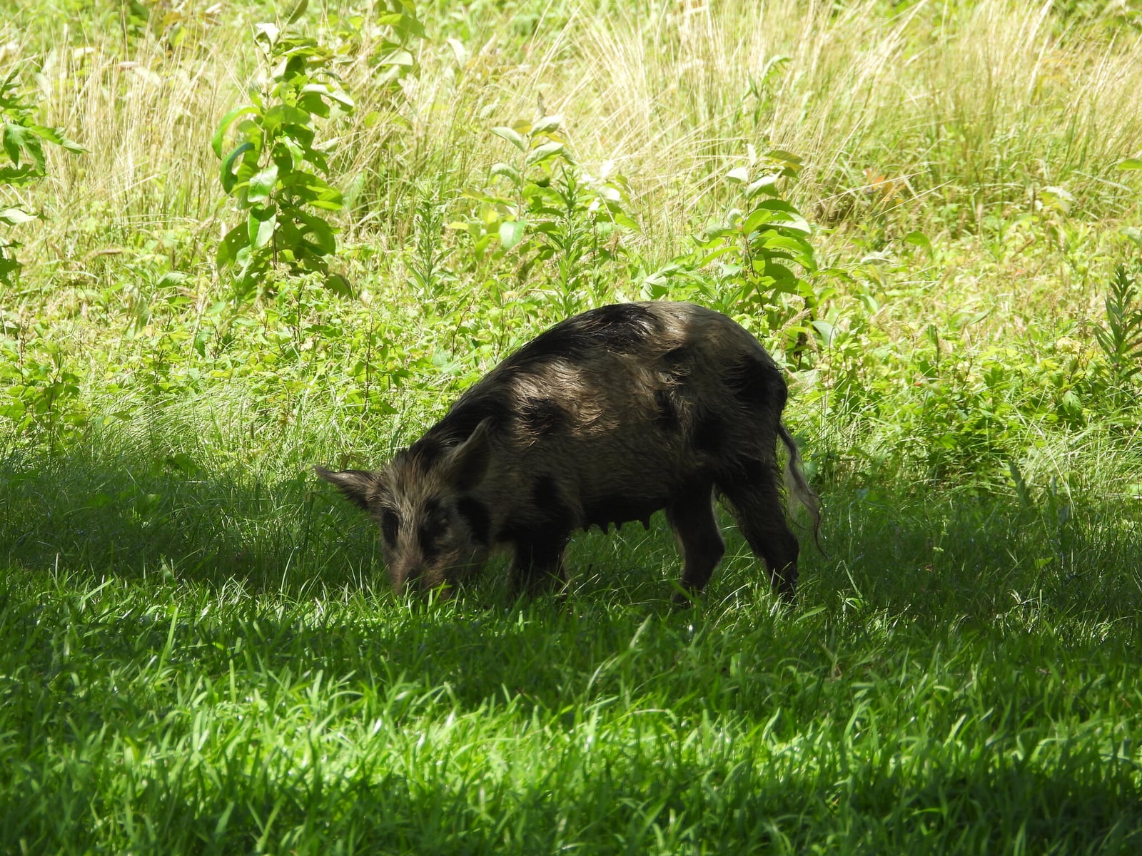
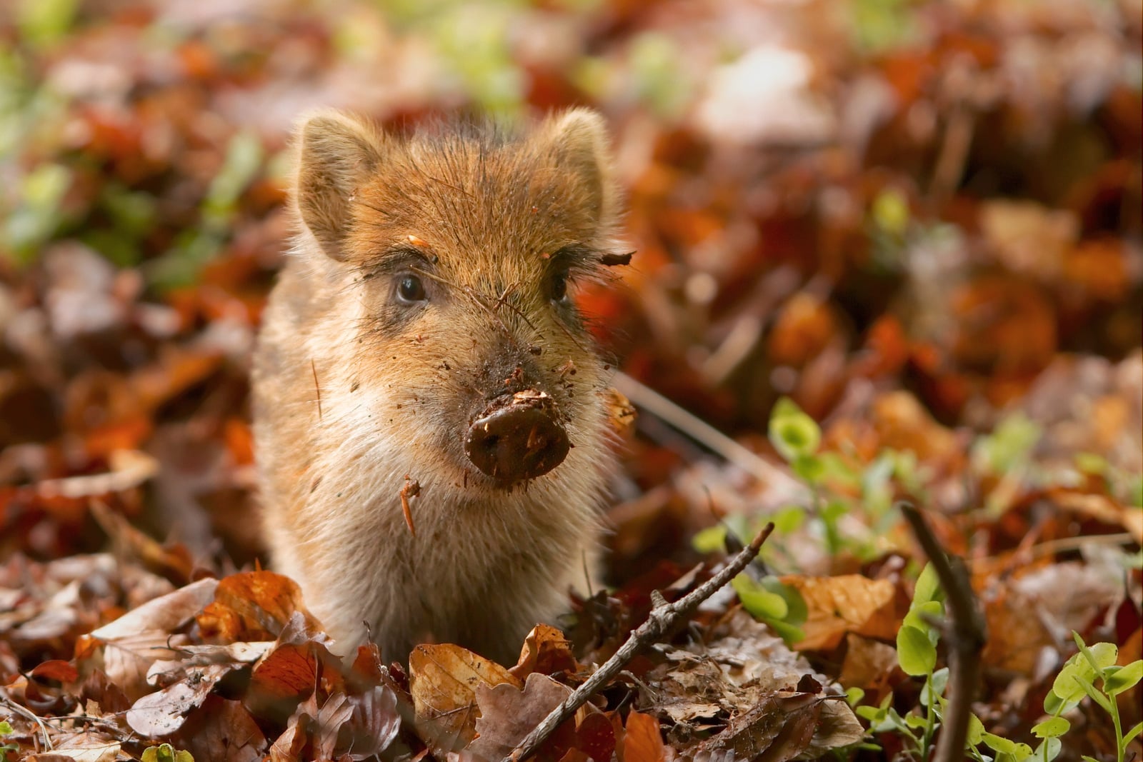
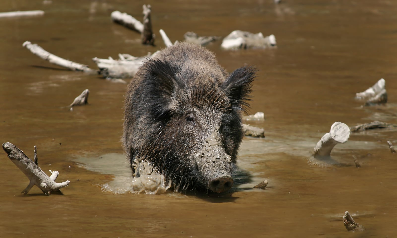
Wild Boar in California

Sus scrofa

Introduced to California

California's Sus scrofa records are of an introduced species; it does not occur here as a wild native population.

IUCN Red List status

  1. LC
  2. NT
  3. VU
  4. EN
  5. CR
  6. EW
  7. EX

LC – Least Concern

Widespread and abundant; not at risk.

Wild Boar in California, by the numbers

Common in California 41st most recorded of 233 mammals logged in California

2,114 occurrence records
2,104 with iNaturalist photos

Records from 2000–2026.

2,114 total records count every California occurrence from GBIF and iNaturalist; the map plots a georeferenced sample of 300; the monthly chart covers the 2,042 records with a full observation date.

When to look for the Wild Boar in California

Recorded year-round, with no strong seasonal peak.

2,042 California occurrence records (iNaturalist and GBIF) by month of year, 2000–2026. Shows when the species is recorded, not a guarantee of presence.

Monthly California records (table)
MonthRecords
January186
February128
March181
April239
May167
June137
July143
August142
September184
October201
November170
December164

Monthly wild boar occurrence records (iNaturalist and GBIF) in California, 2000–2026.

Seasonality

Year-round in California, with no strong seasonal peak in observations.

Occurrence map

Where Wild Boar has been recorded in California

300 records mapped · zoom and drag to explore

300 California records mapped

Notable places to look

Park, forest, or monumentiNaturalist records
Henry W. Coe State Park 85
Mount Diablo State Park 64
Blue Oak Ranch Reserve 22
Hastings Natural History Reserve 14
Pinnacles National Park 13
Canada de los Osos Ecological Reserve 10
Channel Islands National Park 10
Merced Vernal Pools and Grassland Reserve 7

Protected places with the most wild boar sightings, from the USGS Protected Areas Database plus named mountain ranges, good spots to look, not a full breakdown, so they don't sum to the total.

Where it's recorded in California

CountyRecords
Santa Clara County 907
Contra Costa County 168
Monterey County 122
San Benito County 117
San Luis Obispo County 96
Alameda County 73
Sonoma County 62
Santa Barbara County 60
Mendocino County 56
Riverside County 35
Kern County 34
Stanislaus County 28
37 other counties 356

The complete county distribution, spread across 49 California counties. Every occurrence record falls in one county, so these sum to the total. Counties from GBIF and US Census boundaries.

California’s wild boar records pile up in one county more than anywhere else. Santa Clara County holds 907 of the state’s 2,114, most of them from the Diablo Range east of San Jose, where Henry W. Coe State Park and Blue Oak Ranch Reserve spread across oak savanna and chaparral. Mount Diablo State Park, farther north in Contra Costa County, adds a second cluster. These are big blocks of open land within easy reach of the Bay Area’s many naturalists, and two of the busiest sites, Blue Oak Ranch and Hastings Natural History Reserve in Monterey County, are University of California research reserves. So the lopsided pattern says as much about who’s looking as about where hogs live. Records still reach 49 counties, from Mendocino in the north to Riverside in the south.

Not a native animal

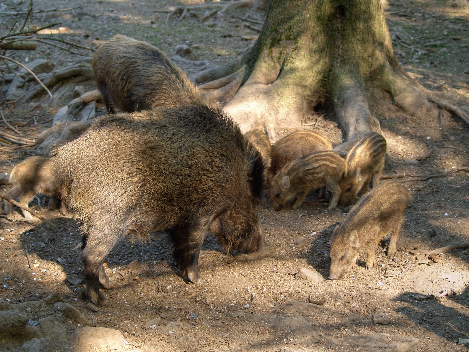
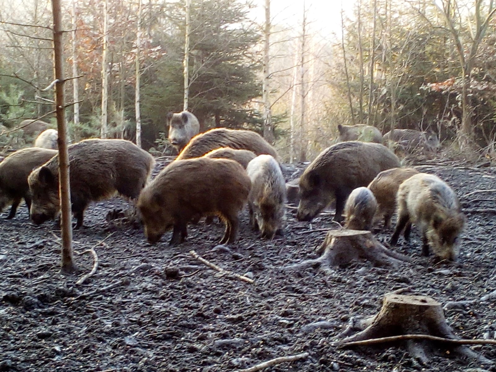
None of California’s pigs belong here. They descend from free-ranging domestic stock and from Eurasian boar turned loose for hunting in Monterey County in the 1920s, and the state counts them as an introduced species.

Acorns and dry summers

Reports peak in April with 239, ease to a summer low of 137 in June, then rise again to 201 in October. Spring is when the hills are green and soft ground is easy to dig. The fall bump lines up with acorn drop in the oak woodland, a food these animals seek out hard. Through the dry summer, hogs tend to bed down in shady creek bottoms and feed more at night, which helps explain the midyear dip.
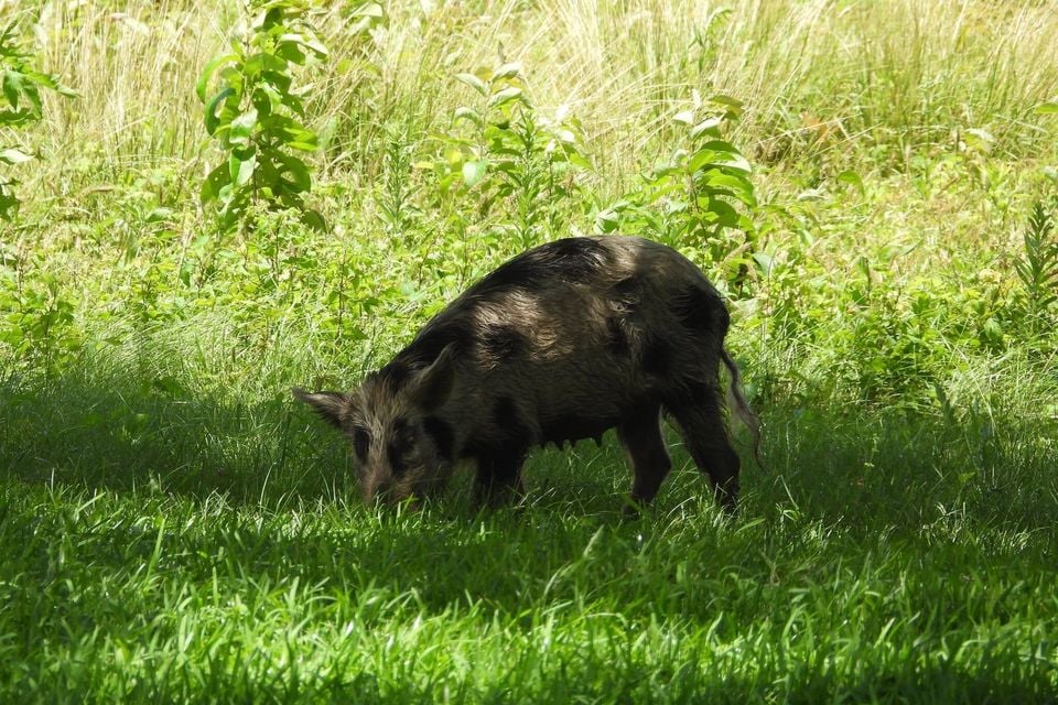
Occurrence data from iNaturalist and GBIF.

Wild Boar in other states

Wild Boar range map (all states)

More mammals in California in the atlas

Data & sources

The data and visualizations on this page draw on these open sources:

  • GBIFCC-BY 4.0occurrence records behind the range map, elevation, and record counts
  • iNaturalistCC0 / CC-BY / CC-BY-SAobservations, photos, and audio recordings
  • NatureServe ExplorerCC-BYthe state conservation rank
  • IUCN Red Listattributed factthe global conservation status
  • USGS NASpublic domainnative / introduced status
  • Natural Earthpublic domainthe relief basemap
  • USFSpublic domainnational-forest boundaries
  • USGS Protected Areas Databasepublic domainthe named parks, forests, and refuges behind "notable places to look"