Arkansas mammals

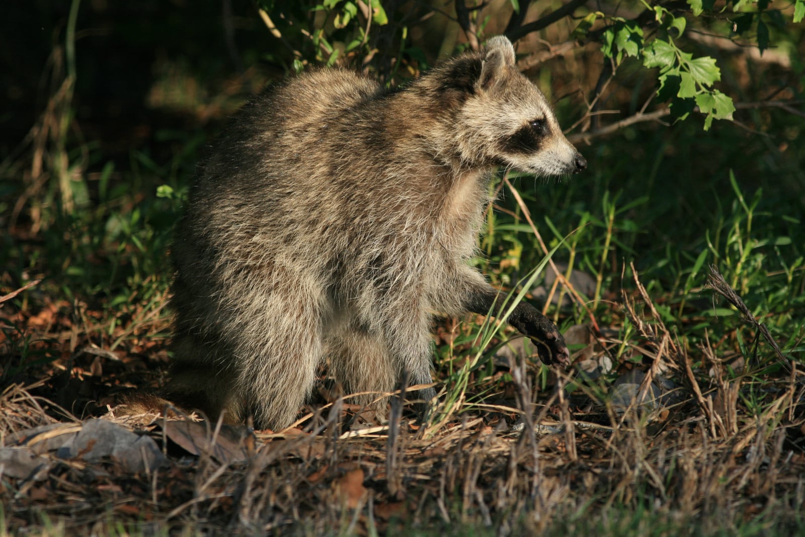
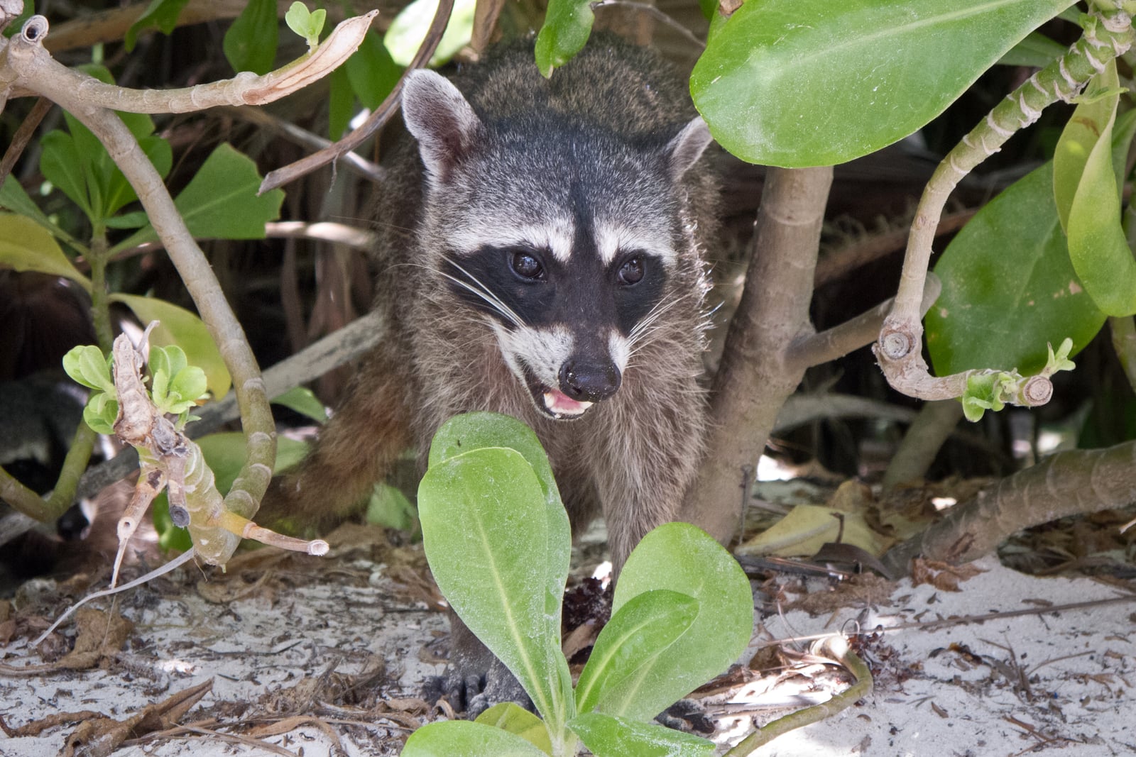
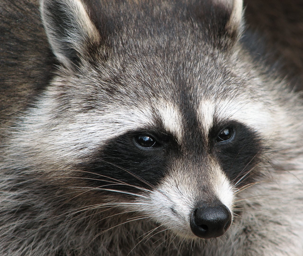
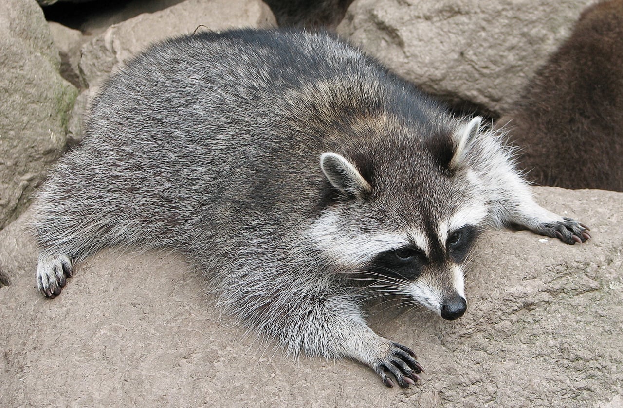
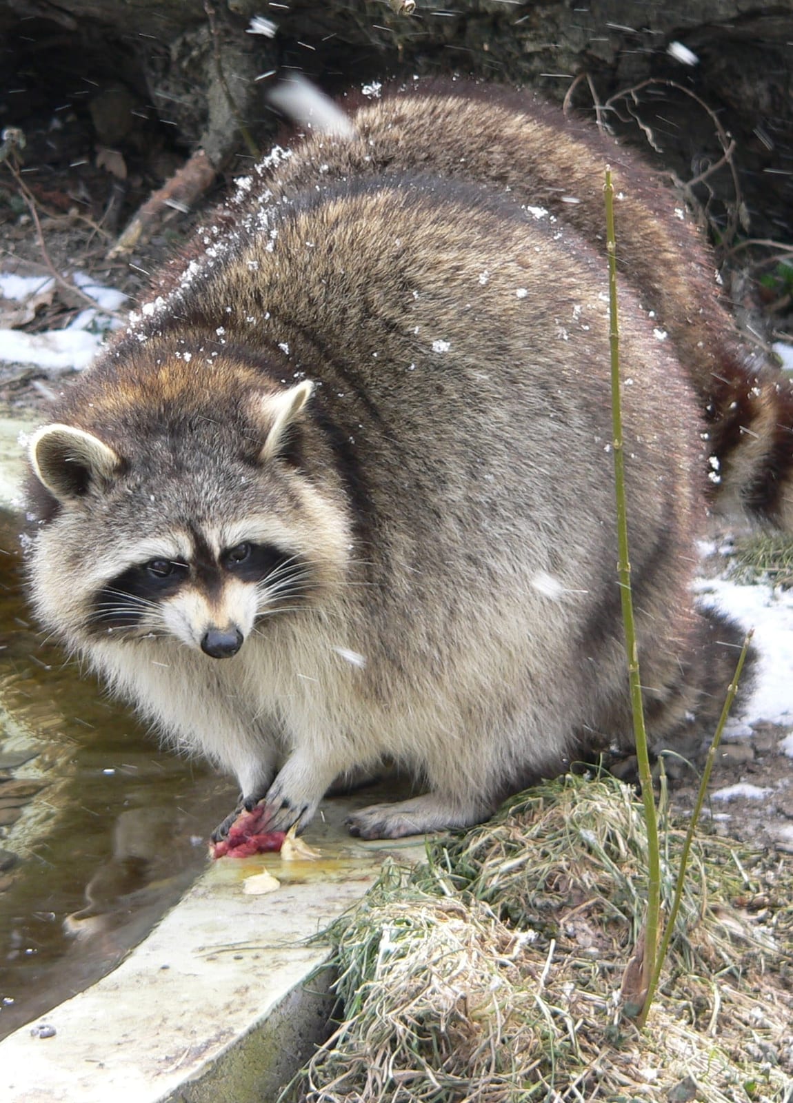
Common Raccoon in Arkansas

Procyon lotor

Native to Arkansas S5 Secure in Arkansas

Not listed as nonindigenous in Arkansas by USGS NAS; native to its Arkansas range.

IUCN Red List status

  1. LC
  2. NT
  3. VU
  4. EN
  5. CR
  6. EW
  7. EX

LC – Least Concern

Widespread and abundant; not at risk.

Common Raccoon in Arkansas, by the numbers

Common in Arkansas 4th most recorded of 78 mammals logged in Arkansas

1,531 occurrence records
1,529 with iNaturalist photos
Jun 28, 2026 Last seen in Arkansas

Records from 2000–2026.

1,531 total records count every Arkansas occurrence from GBIF and iNaturalist; the map plots a georeferenced sample of 300; the monthly chart covers the 1,449 records with a full observation date.

When to look for the Common Raccoon in Arkansas

Most sightings fall in March to October.

1,449 Arkansas occurrence records (iNaturalist and GBIF) by month of year, 2000–2026. Shows when the species is recorded, not a guarantee of presence.

Monthly Arkansas records (table)
MonthRecords
January75
February79
March132
April116
May163
June156
July146
August153
September142
October137
November86
December64

Monthly common raccoon occurrence records (iNaturalist and GBIF) in Arkansas, 2000–2026.

Seasonality

Year-round in Arkansas, with recorded sightings peaking in March–October.

Occurrence map

Where Common Raccoon has been recorded in Arkansas

300 records mapped · zoom and drag to explore

300 Arkansas records mapped

Notable places to look

Park, forest, or monumentiNaturalist records
Buffalo National River 10
Pinnacle Mountain State Park 7
Ouachita National Forest 6
Village Creek State Park 6
Camp Robinson Wildlife Demonstration Area 4
Mount Nebo State Park 4
Petit Jean State Park 4
Hot Springs National Park 3

Protected places with the most common raccoon sightings, from the USGS Protected Areas Database plus named mountain ranges, good spots to look, not a full breakdown, so they don't sum to the total.

Where it's recorded in Arkansas

CountyRecords
Sebastian County 475
Pope County 182
Greene County 126
Washington County 105
Benton County 61
Pulaski County 52
Baxter County 50
Faulkner County 43
Johnson County 21
Garland County 18
Craighead County 17
Saline County 13
57 other counties 368

The complete county distribution, spread across 69 Arkansas counties. Every occurrence record falls in one county, so these sum to the total. Counties from GBIF and US Census boundaries.

The raccoon is one of the most thoroughly recorded mammals in Arkansas, 1,531 records reaching nearly every corner of the state. Sebastian County and the Arkansas River valley hold the heaviest share, but reports run north through Pope and Washington counties and across both national forests, a map of an animal at home wherever water and cover meet.

At home from the highlands to the Delta

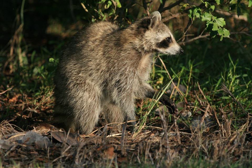
A raccoon’s front paws are its signature, nimble fingers that pry crayfish from creek gravel, open freshwater mussels, and work over acorns and persimmons. Arkansas suits that generalist hand from end to end. Records cluster around the streams of Ouachita National Forest and the gravel bars of the Buffalo National River, hold through the hardwood slopes of Pinnacle Mountain State Park and Petit Jean State Park, and reach Village Creek State Park on the forested Crowley’s Ridge. Towns count as habitat too, since raccoons den readily in attics, culverts, and hollow trees.

Awake all year

Raccoons do not truly hibernate. In hard cold they den up for days at a stretch, but Arkansas winters are mild enough that records fall in every month, topping out in May, when the year’s first young begin following their mother on night foraging trips.

Status in Arkansas

NatureServe ranks the raccoon S5, Secure, in Arkansas, and the species is native to the state. USGS NAS does not list it as nonindigenous here.
Occurrence data from iNaturalist and GBIF.

Common Raccoon in other states

Common Raccoon range map (all states)

More mammals in Arkansas in the atlas

Data & sources

The data and visualizations on this page draw on these open sources:

  • GBIFCC-BY 4.0occurrence records behind the range map, elevation, and record counts
  • iNaturalistCC0 / CC-BY / CC-BY-SAobservations, photos, and audio recordings
  • NatureServe ExplorerCC-BYthe state conservation rank
  • IUCN Red Listattributed factthe global conservation status
  • USGS NASpublic domainnative / introduced status
  • Natural Earthpublic domainthe relief basemap
  • USFSpublic domainnational-forest boundaries
  • USGS Protected Areas Databasepublic domainthe named parks, forests, and refuges behind "notable places to look"