
Massachusetts mammals

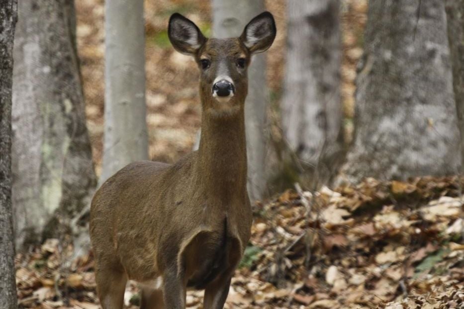
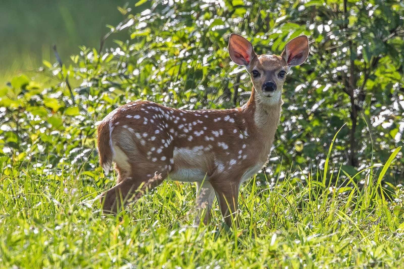
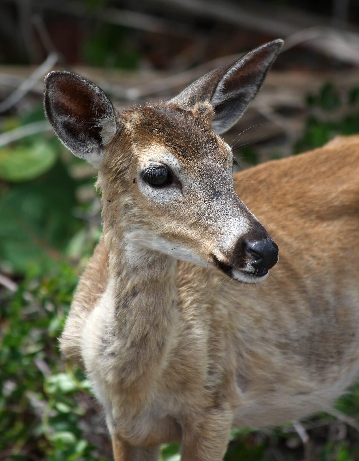
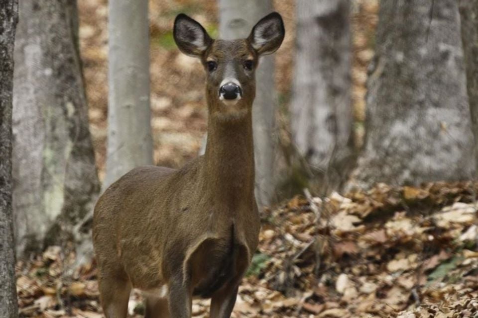
White-tailed Deer in Massachusetts

Odocoileus virginianus

Native to Massachusetts S5 Secure in Massachusetts

Not listed as nonindigenous in Massachusetts by USGS NAS; native to its Massachusetts range.

IUCN Red List status

  1. LC
  2. NT
  3. VU
  4. EN
  5. CR
  6. EW
  7. EX

LC – Least Concern

Widespread and abundant; not at risk.

White-tailed Deer in Massachusetts, by the numbers

Common in Massachusetts 3rd most recorded of 93 mammals logged in Massachusetts

9,450 occurrence records
9,433 with iNaturalist photos
Jul 11, 2026 Last seen in Massachusetts

Records from 2000–2026.

9,450 total records count every Massachusetts occurrence from GBIF and iNaturalist; the map plots a georeferenced sample of 300; the monthly chart covers the 9,062 records with a full observation date.

When to look for the White-tailed Deer in Massachusetts

Most sightings fall in March to September.

9,062 Massachusetts occurrence records (iNaturalist and GBIF) by month of year, 2000–2026. Shows when the species is recorded, not a guarantee of presence.

Monthly Massachusetts records (table)
MonthRecords
January542
February480
March779
April1,096
May777
June1,028
July1,049
August811
September704
October566
November659
December571

Monthly white-tailed deer occurrence records (iNaturalist and GBIF) in Massachusetts, 2000–2026.

Seasonality

Year-round in Massachusetts, with recorded sightings peaking in March–September, with a smaller rise in November.

Occurrence map

Where White-tailed Deer has been recorded in Massachusetts

300 records mapped · zoom and drag to explore

288 Massachusetts records mapped

Notable places to look

Park, forest, or monumentiNaturalist records
Blue Hills Reservation 52
Boston Harbor Islands National Recreation Area 52
Cape Cod National Seashore 46
Birch Hill Wildlife Management Area 27
Breakheart Reservation 23
Burrage Pond Wildlife Management Area 17
Minute Man National Historical Park 17
Brook Farm 9

Protected places with the most white-tailed deer sightings, from the USGS Protected Areas Database plus named mountain ranges, good spots to look, not a full breakdown, so they don't sum to the total.

Where it's recorded in Massachusetts

CountyRecords
Middlesex County 3,252
Plymouth County 739
Norfolk County 735
Essex County 721
Hampshire County 705
Worcester County 607
Bristol County 465
Franklin County 339
Barnstable County 337
Hampden County 201
Berkshire County 198
Suffolk County 163
Other localities 988

The complete county distribution, spread across 12 Massachusetts counties. Every occurrence record falls in one county, so these sum to the total. Counties from GBIF and US Census boundaries.

White-tailed deer rank third among Massachusetts mammals by record count, and Blue Hills Reservation, a 7,000-acre patch of woods and rocky summits wedged between Boston’s southern suburbs, is one of the most reliable places in the eastern part of the state to find them. That’s not a coincidence: deer thrive on the mix of forest edge and open ground that suburban Massachusetts offers, often more than deep, unbroken woodland.

Records peak in April, when new spring growth draws deer out to feed in the open, but the monthly counts stay fairly high all year rather than dropping off sharply in any one season. Parker River National Wildlife Refuge and Massasoit National Wildlife Refuge round out the named sites, both offering the marsh-edge and grassland habitat deer use alongside forest cover.
Occurrence data from iNaturalist and GBIF.

White-tailed Deer in other states

White-tailed Deer range map (all states)

More mammals in Massachusetts in the atlas

Data & sources

The data and visualizations on this page draw on these open sources:

  • GBIFCC-BY 4.0occurrence records behind the range map, elevation, and record counts
  • iNaturalistCC0 / CC-BY / CC-BY-SAobservations, photos, and audio recordings
  • NatureServe ExplorerCC-BYthe state conservation rank
  • IUCN Red Listattributed factthe global conservation status
  • USGS NASpublic domainnative / introduced status
  • Natural Earthpublic domainthe relief basemap
  • USFSpublic domainnational-forest boundaries
  • USGS Protected Areas Databasepublic domainthe named parks, forests, and refuges behind "notable places to look"