Texas mammals

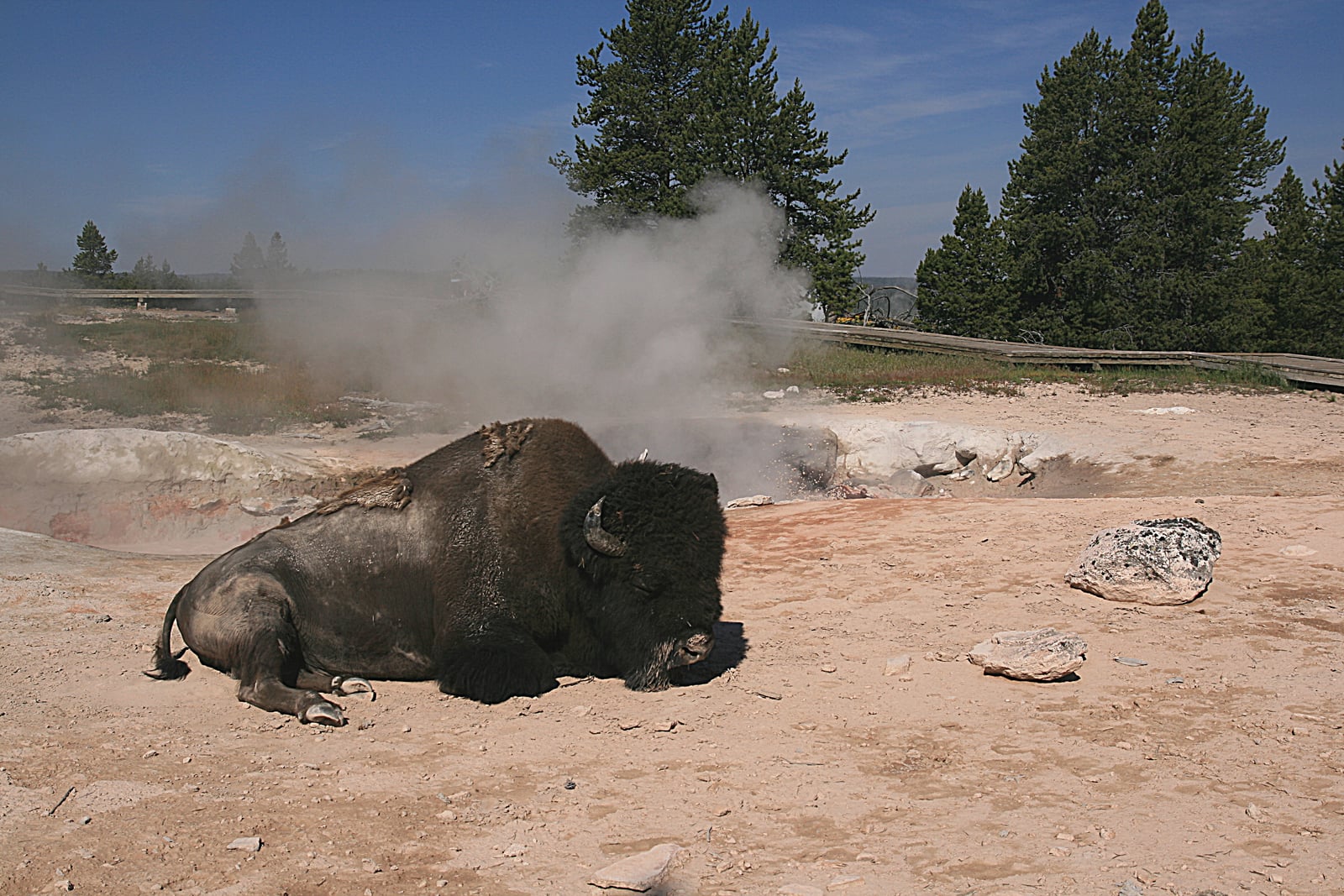
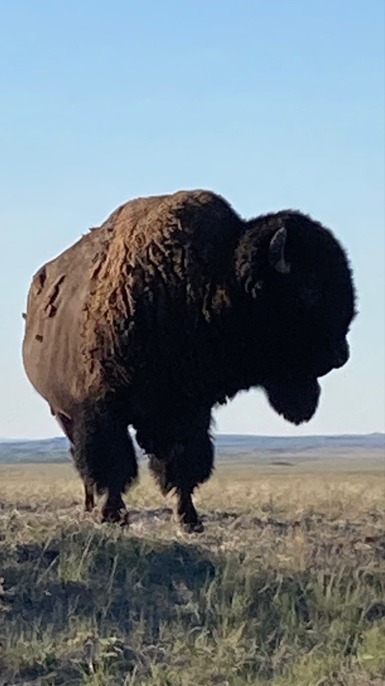
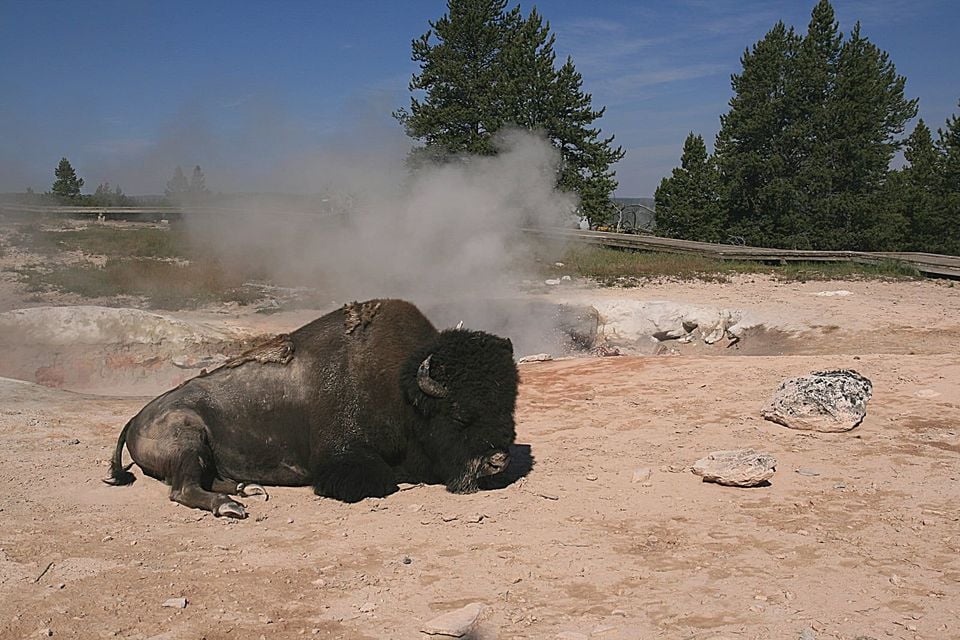
American Bison in Texas

Bison bison

Native to Texas SH Possibly Extirpated in Texas

Not listed as nonindigenous in Texas by USGS NAS; native to its Texas range.

IUCN Red List status

  1. LC
  2. NT
  3. VU
  4. EN
  5. CR
  6. EW
  7. EX

NT – Near Threatened

Close to qualifying as threatened in the near future.

American Bison in Texas, by the numbers

Possibly Extirpated in Texas 36th most recorded of 197 mammals logged in Texas

847 occurrence records
847 with iNaturalist photos
Jun 29, 2026 Last recorded (historical)

Records from 2000–2026.

847 total records count every Texas occurrence from GBIF and iNaturalist; the map plots a georeferenced sample of 300; the monthly chart covers the 809 records with a full observation date.

When the american bison was recorded in Texas

Most historical records fall in March to May.

809 Texas occurrence records (iNaturalist and GBIF) by month of year, 2000–2026. Shows when the species is recorded, not a guarantee of presence.

Monthly Texas records (table)
MonthRecords
January28
February54
March111
April85
May82
June61
July88
August61
September44
October73
November90
December32

Monthly american bison occurrence records (iNaturalist and GBIF) in Texas, 2000–2026.

Seasonality

Historical records in Texas peak in March–May, with a smaller rise in July and October–November.

Occurrence map

Where American Bison has been recorded in Texas

300 records mapped · zoom and drag to explore

300 Texas records mapped

Where american bison encounters are recorded

Park, forest, or monumentiNaturalist records
Caprock Canyons State Park 709
Caprock Canyons Trailway 1

Protected places with the most american bison records, from the USGS Protected Areas Database plus named mountain ranges, where encounters are most often recorded, not a full breakdown, so they don't sum to the total. Keep your distance and never approach one.

Where it's recorded in Texas

CountyRecords
Briscoe County 753
Limestone County 6
Brewster County 4
Armstrong County 4
Presidio County 3
Starr County 2
Taylor County 2
Randall County 2
Grayson County 2
Gonzales County 2
Bell County 1
Floyd County 1
26 other counties 65

The complete county distribution, spread across 38 Texas counties. Every occurrence record falls in one county, so these sum to the total. Counties from GBIF and US Census boundaries.

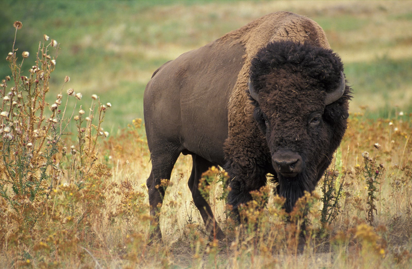
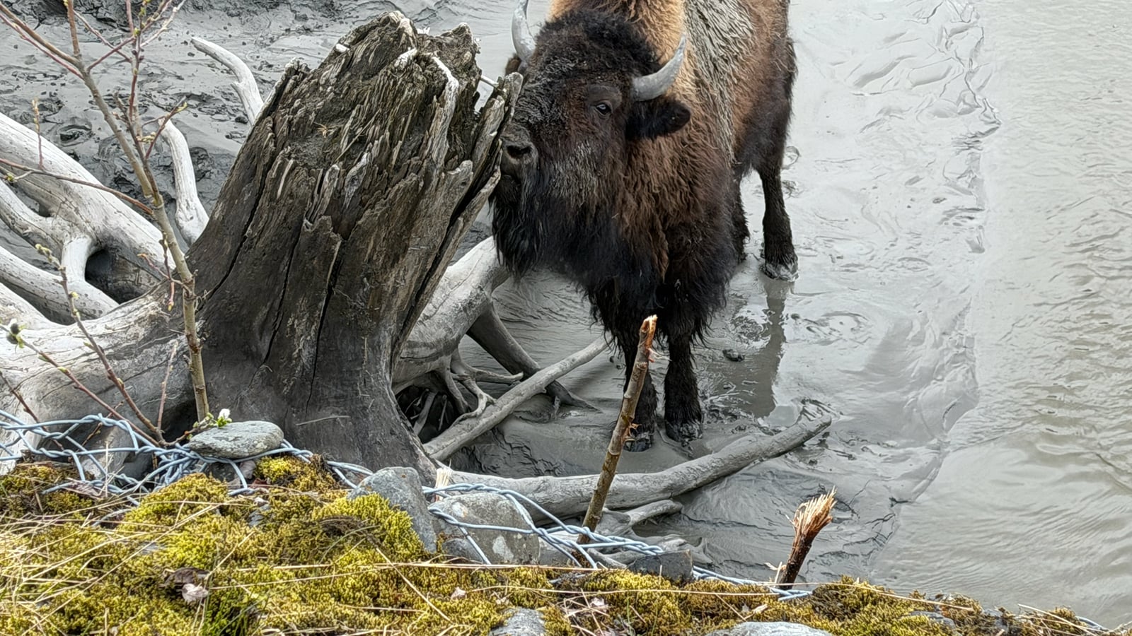
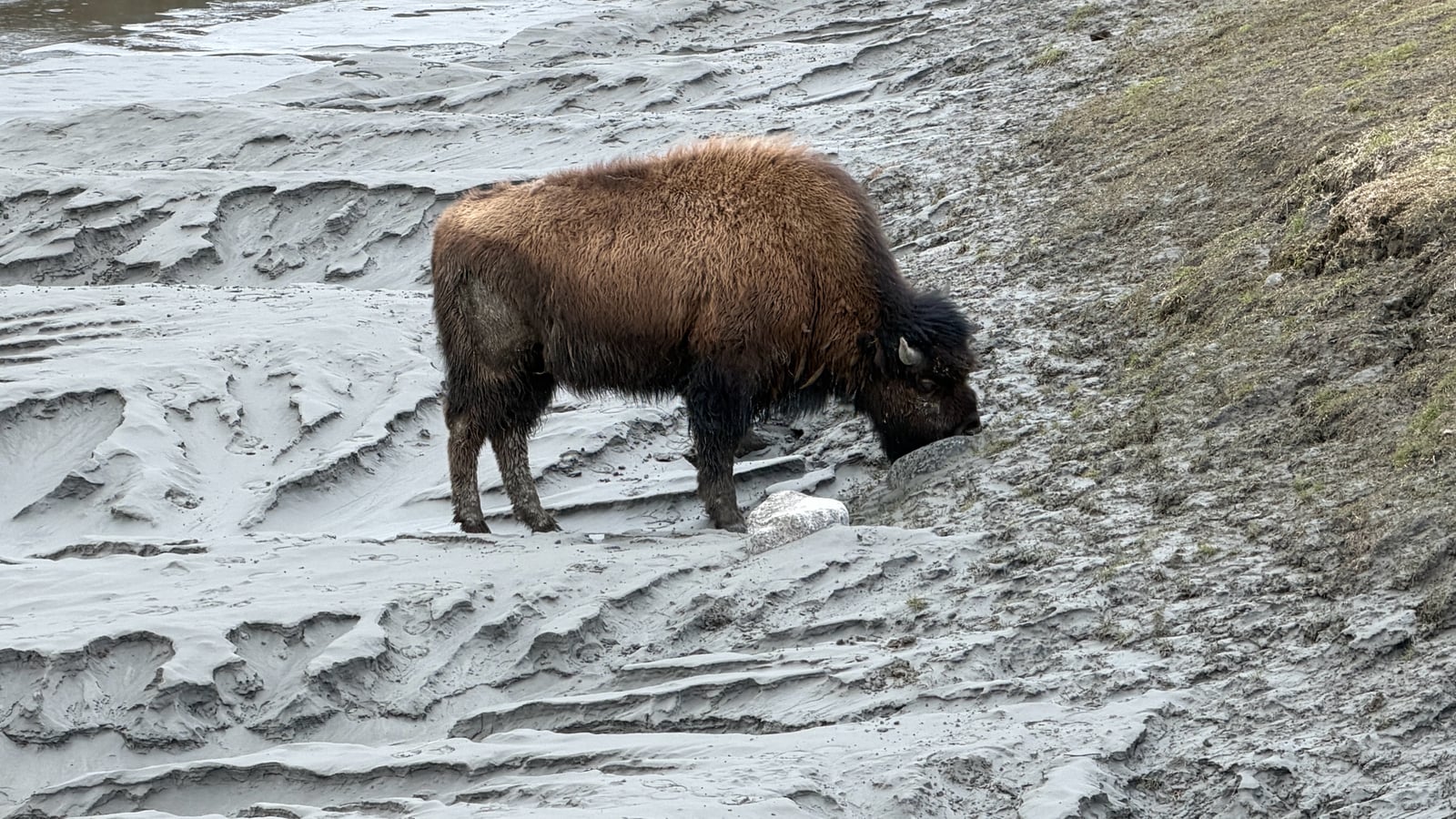
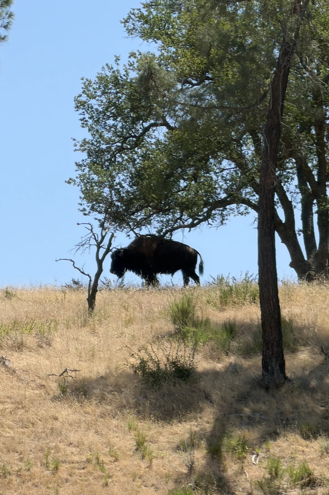
Texas bison records cluster tightly in the Panhandle’s canyon country. Briscoe County holds 753 of the state’s 847, and 709 fall inside Caprock Canyons State Park, home to the official Texas State Bison Herd descended from Charles Goodnight’s original stock. Everything else is a thin spread: bison turn up in 38 counties in all, each of the others with a single-digit count, from Armstrong and Randall in the Panhandle to Brewster and Presidio in the Big Bend. In a state this large, that says as much about where wildlife watchers go as it does about where the animals actually range.

Reports peak in March and hold up through May, with smaller bumps in July and again in October and November. That shape more likely tracks ranger-led herd tours, cooler visiting weather, and summer travel than a real seasonal swing in bison movement. With 847 records, bison rank among the more frequently recorded Texas mammals, yet NatureServe ranks the species SH, possibly extirpated, in Texas: the wild, free-ranging herds may be gone, and bison survive here mostly as managed herds rather than a self-sustaining wild population.
Occurrence data from iNaturalist and GBIF.

American Bison in other states

American Bison range map (all states)

More mammals in Texas in the atlas

Data & sources

The data and visualizations on this page draw on these open sources:

  • GBIFCC-BY 4.0occurrence records behind the range map, elevation, and record counts
  • iNaturalistCC0 / CC-BY / CC-BY-SAobservations, photos, and audio recordings
  • NatureServe ExplorerCC-BYthe state conservation rank
  • IUCN Red Listattributed factthe global conservation status
  • USGS NASpublic domainnative / introduced status
  • Natural Earthpublic domainthe relief basemap
  • USFSpublic domainnational-forest boundaries
  • USGS Protected Areas Databasepublic domainthe named parks, forests, and refuges behind "notable places to look"