South Dakota mammals

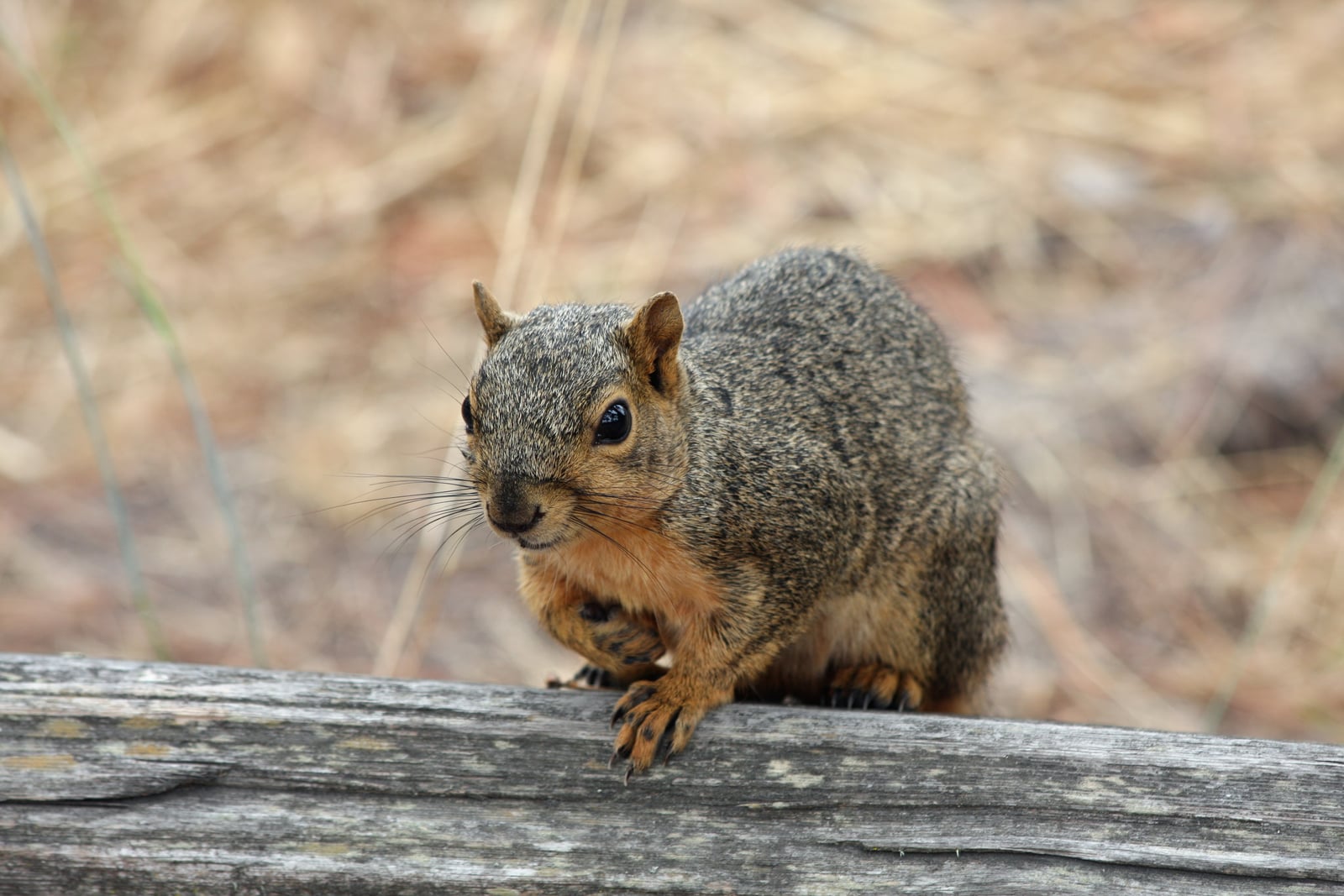
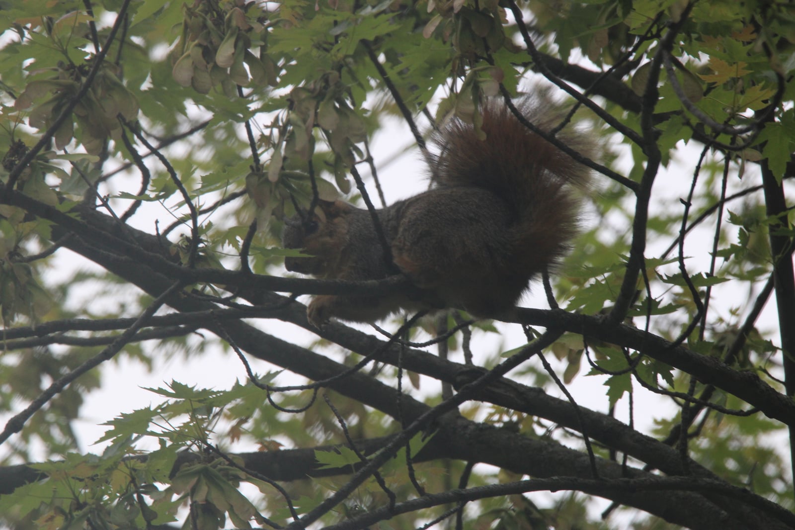
Fox Squirrel in South Dakota

Sciurus niger

Native to South Dakota S5 Secure in South Dakota

Not listed as nonindigenous in South Dakota by USGS NAS; native to its South Dakota range.

IUCN Red List status

  1. LC
  2. NT
  3. VU
  4. EN
  5. CR
  6. EW
  7. EX

LC – Least Concern

Widespread and abundant; not at risk.

Fox Squirrel in South Dakota, by the numbers

Common in South Dakota 8th most recorded of 100 mammals logged in South Dakota

504 occurrence records
503 with iNaturalist photos
Jul 11, 2026 Last seen in South Dakota

Records from 2000–2026.

504 total records count every South Dakota occurrence from GBIF and iNaturalist; the map plots a georeferenced sample of 300; the monthly chart covers the 488 records with a full observation date.

When to look for the Fox Squirrel in South Dakota

Most sightings fall in April to June.

488 South Dakota occurrence records (iNaturalist and GBIF) by month of year, 2000–2026. Shows when the species is recorded, not a guarantee of presence.

Monthly South Dakota records (table)
MonthRecords
January14
February15
March23
April72
May47
June74
July32
August38
September67
October49
November31
December26

Monthly fox squirrel occurrence records (iNaturalist and GBIF) in South Dakota, 2000–2026.

Seasonality

Year-round in South Dakota, with recorded sightings peaking in April–June, with a smaller rise in September–October.

Occurrence map

Where Fox Squirrel has been recorded in South Dakota

300 records mapped · zoom and drag to explore

300 South Dakota records mapped

Notable places to look

Park, forest, or monumentiNaturalist records
Oakwood Lakes Recreation Area 4
Lewis And Clark Recreation Area 4
Big Sioux 4
Farm Island 4
Blood Run National Historic Landmark Area Tcf Tract 3
Oahe Downstream Recreation Area 3
Black Hills National Forest 2
Pierson Ranch 2

Protected places with the most fox squirrel sightings, from the USGS Protected Areas Database plus named mountain ranges, good spots to look, not a full breakdown, so they don't sum to the total.

Where it's recorded in South Dakota

CountyRecords
Brookings County 145
Minnehaha County 100
Pennington County 60
Yankton County 25
Hughes County 19
Lincoln County 14
Roberts County 13
Clay County 13
Brown County 11
Stanley County 10
Codington County 8
Douglas County 7
24 other counties 79

The complete county distribution, spread across 36 South Dakota counties. Every occurrence record falls in one county, so these sum to the total. Counties from GBIF and US Census boundaries.

South Dakota’s fox squirrel record, 504 strong, hugs the wooded east. Brookings and Minnehaha counties together account for more than two hundred reports, with smaller clusters running west along the Missouri River through sites like Farm Island, Lewis and Clark Recreation Area, and the recreation lands below Lake Oahe.

The largest tree squirrel, at home near people

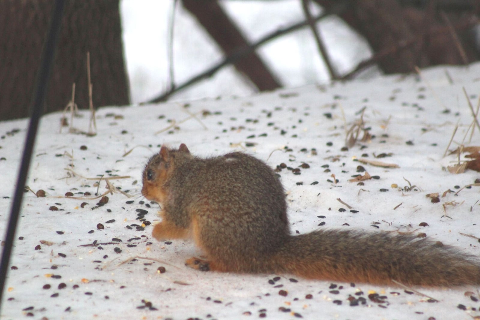
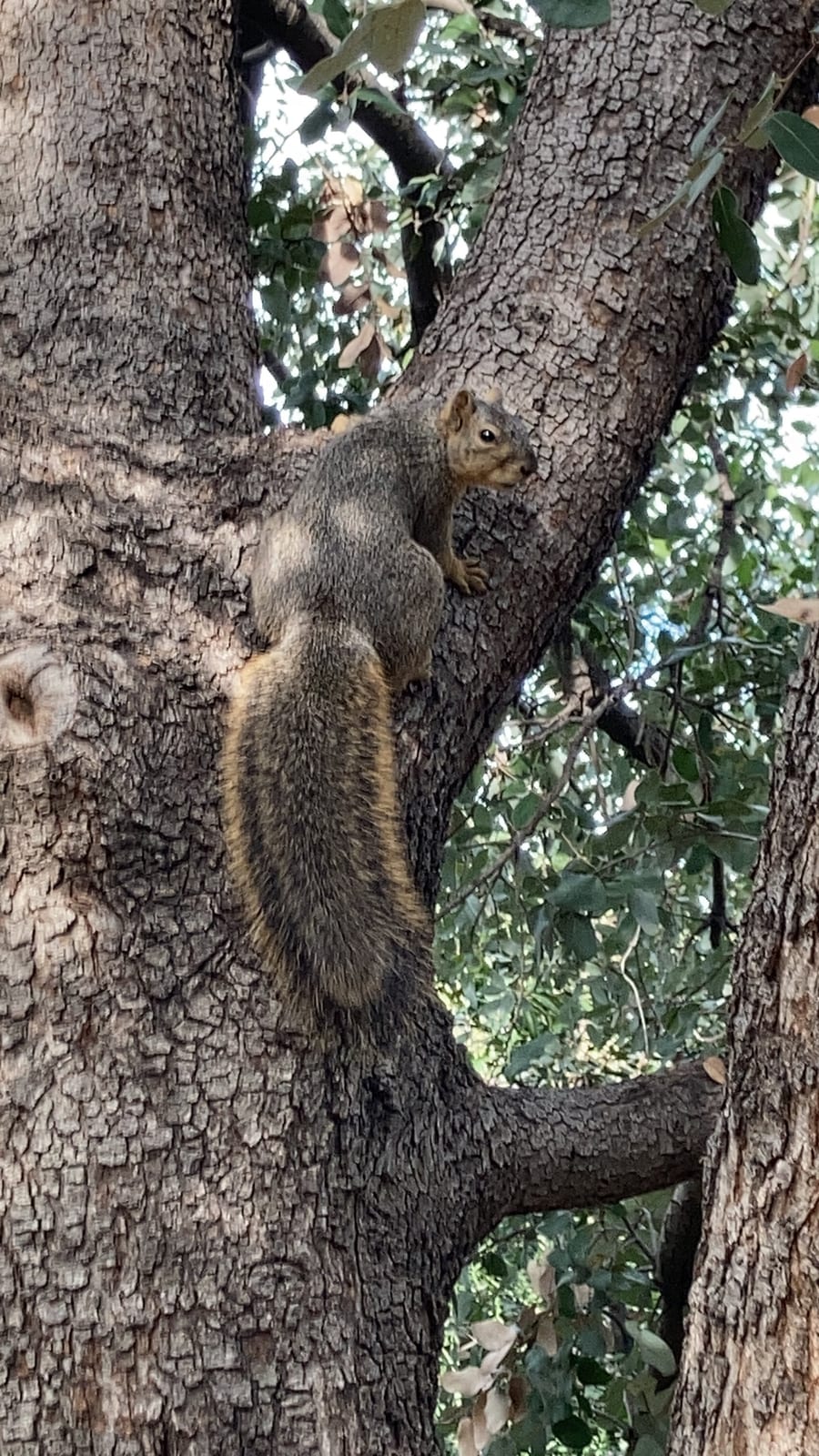
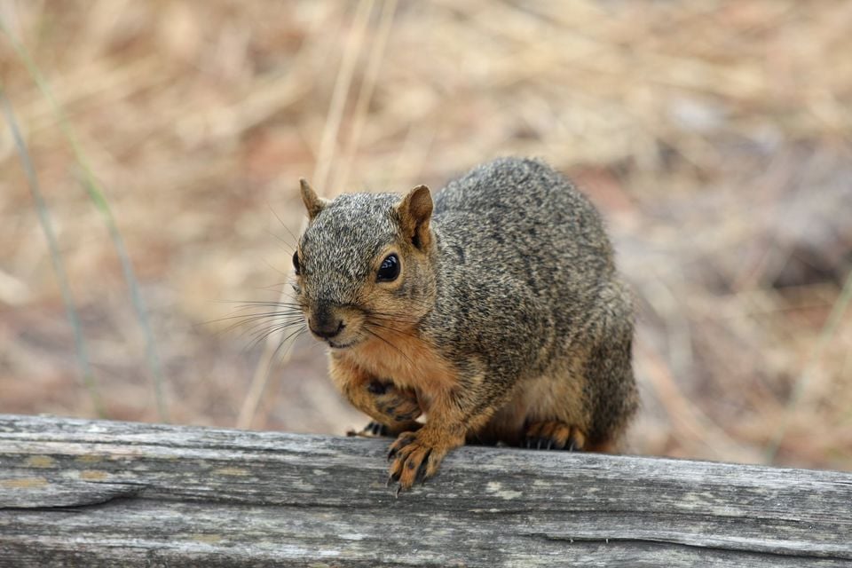
The fox squirrel is the biggest tree squirrel in North America, with a long, often rusty-tinged tail and a deliberate, ground-covering gait. It favors open, park-like deciduous woods: cottonwood river bottoms, mature shelterbelts, oak and walnut plantings. It has also settled comfortably into town parks and farmsteads, and sites like Oakwood Lakes Recreation Area and Big Sioux capture that mix of bottomland timber and mowed edge.

A scatter-hoarder with a fall rush

Rather than caching food in one place, a fox squirrel buries acorns and walnuts one at a time across its home range and digs them up later. Records stay steady all year, since the species neither hibernates nor migrates, but they peak from April through June and rise again in October, when the nut harvest has squirrels cutting and burying in earnest.

Status in South Dakota

NatureServe ranks the fox squirrel S5, Secure, in South Dakota, and the species is native to the state. USGS NAS does not list it as nonindigenous here.
Occurrence data from iNaturalist and GBIF.

Fox Squirrel in other states

Fox Squirrel range map (all states)

More mammals in South Dakota in the atlas

Data & sources

The data and visualizations on this page draw on these open sources:

  • GBIFCC-BY 4.0occurrence records behind the range map, elevation, and record counts
  • iNaturalistCC0 / CC-BY / CC-BY-SAobservations, photos, and audio recordings
  • NatureServe ExplorerCC-BYthe state conservation rank
  • IUCN Red Listattributed factthe global conservation status
  • USGS NASpublic domainnative / introduced status
  • Natural Earthpublic domainthe relief basemap
  • USFSpublic domainnational-forest boundaries
  • USGS Protected Areas Databasepublic domainthe named parks, forests, and refuges behind "notable places to look"